VA Section 29 Pictures - Milemarker 0.0 - 1.5
VA 624 - Lost Spectacles Gap
Move your mouse across the pictures for more information.
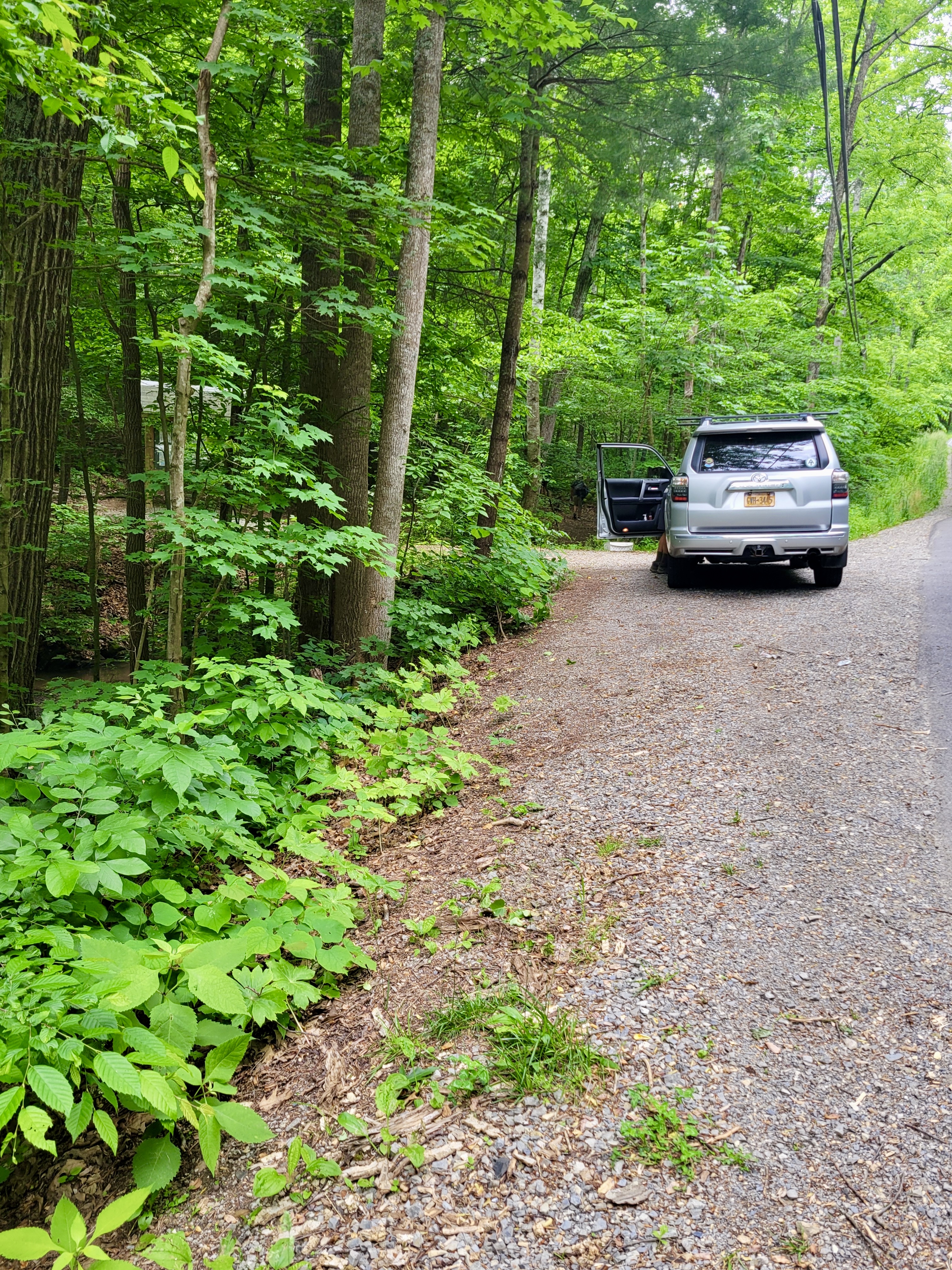
mm 0.0 Trail crossing and parking on VA 624.
Submitted by dlcul @ conncoll.edu

mm 0.0 close-up of roadside parking on VA 624. Room for only about 3 cars.
Submitted by cabincellars@yahoo.com
USFS parking lot on VA 311. From here one can get to the AT
at mm 0.4 and 1.5.
Submitted by dlcul @ conncoll.edu
mm 0.4 Junction with the Boy Scout Trail (right fork in
picture). This leads 0.4 miles to the USFS parking lot. The left fork is
the southbound AT.
Submitted by dlcul @ conncoll.edu
mm 0.7 Campsite in col at the base of the rocky, narrow
ridge known as Rawles Rest.
Submitted by dlcul @ conncoll.edu
View from the ridge known as Rawles Rest towards Fort Lewis
Mountain. Taken at approx. mm 0.9
Submitted by dlcul @ conncoll.edu
Ledge near top of Rawles Rest. Taken at approx. mm 1.0
Submitted by dlcul @ conncoll.edu
Yes, the trail really does go up this rock. Taken at approx.
mm 1.3
Submitted by dlcul @ conncoll.edu