VA Section 29 Pictures - Milemarker 11.7 - 15.2
Audie Murphy Monument - Craig Creek
Move your mouse across the pictures for more information.
mm 11.7 View of Sinking Creek Mountain and Craig Creek
Valley from viewpoint behind Audie Murphy Monument. This trail to this is a
bit overgrown. Bear left at the end of the open area around the monument.
Submitted by dlcul @ conncoll.edu
mm 11.7 Blue-blazed spur trail to Audie Murphy Monument.
The monument is on the left partially hidden by a tree.
Submitted by dlcul @ conncoll.edu
mm 12.3 Southern end of the section where the trail follows
the old road. Northbound hikers completing the 1500 foot climb from Craig
Creek are greeted by this park bench.
Submitted by ideanna656 @ aol.com
mm 12.3 Parking area for the trail to the Audie Murphy Monument on the top of Brush Mountain. This lot is only 0.1 miles from the AT.
Submitted by dlcul @ conncoll.edu
mm 12.3 The road to the Audie Murphy parking area is really a section of the road followed by the AT on the top of Brush Mountain. Beyond this point the road is closed to vehicles. Follow it 0.1 miles to meet the AT where the northbound trail comes in from the left after the climb from Craig Creek then continues along the old road. The last 0.6 miles of the route to the monument coincides with the AT.
Submitted by dlcul @ conncoll.edu
mm 15.2 Bridge over Craig Creek.
Submitted by ideanna656 @ aol.com

mm 15.5 View of the Northbound AT from VA 621 in Virginia
Submitted by carolanse @ outlook.com

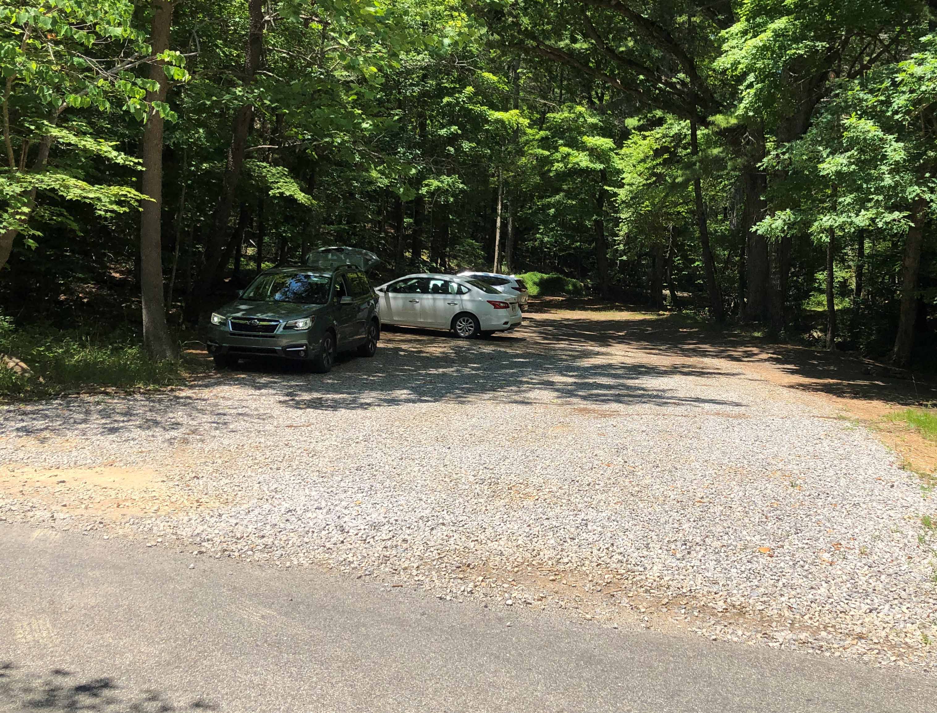
Picture of the parking lot on VA 621 in Virginia
Submitted by carolanse @ outlook.com