PA Section 13 Pictures - Milemarker 9.7 - 10.3
Birch Run Shelter - Fegley Road
Move your mouse across the pictures for more information.
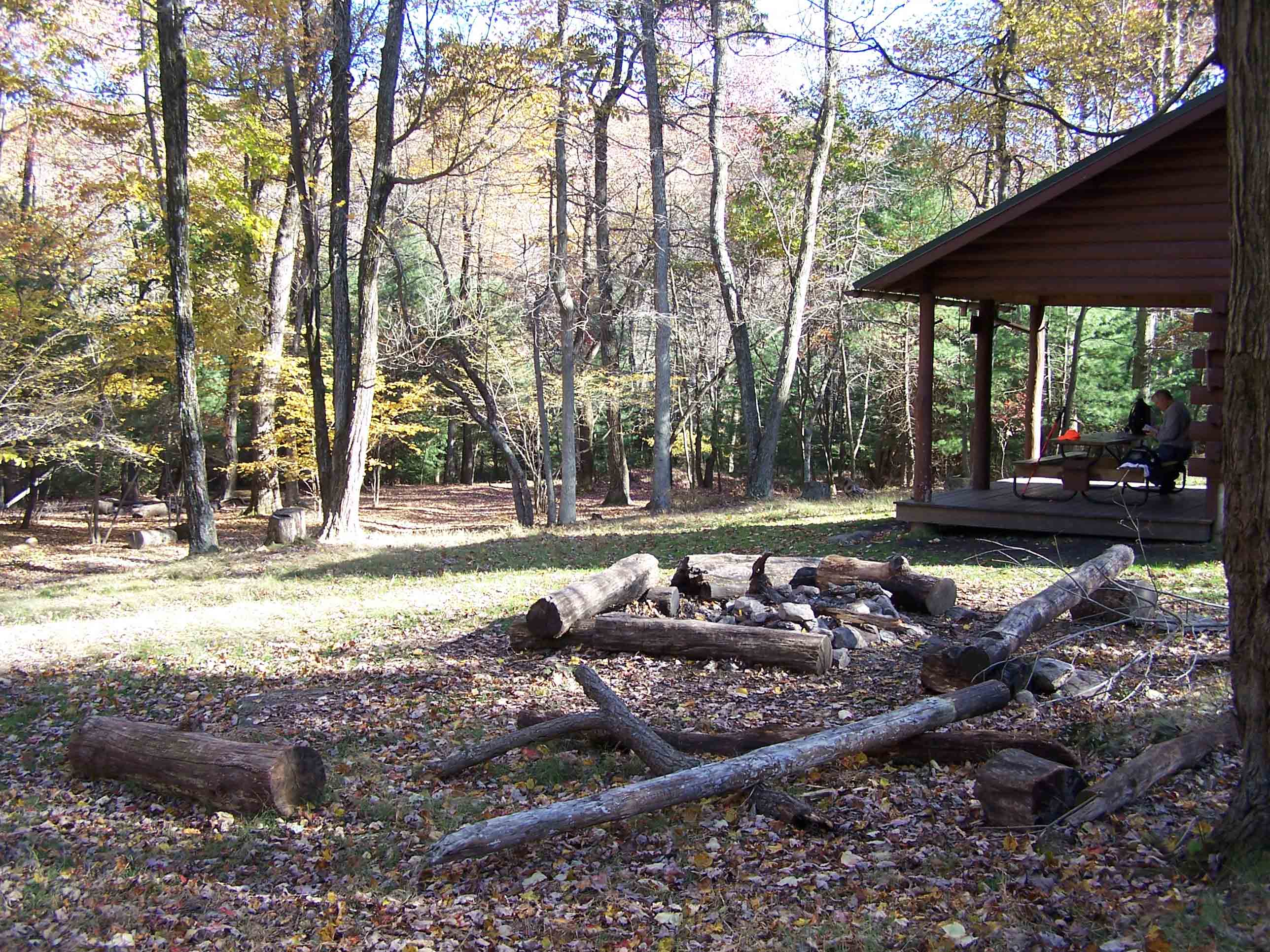
Birch Run Shelter mm 9.7
Submitted by at @ rohland.org
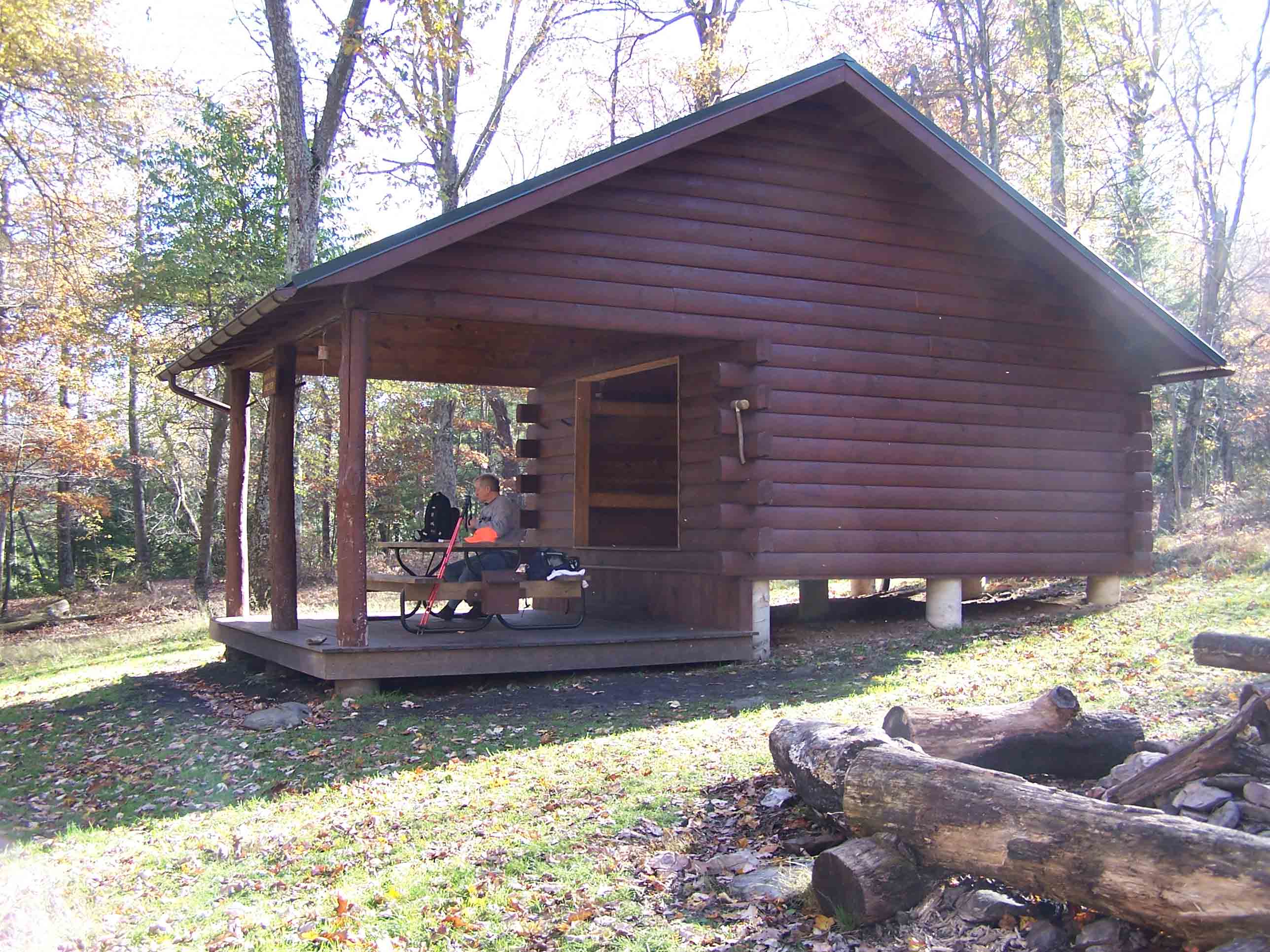
Birch Run Shelter mm 9.7
Submitted by at @ rohland.org
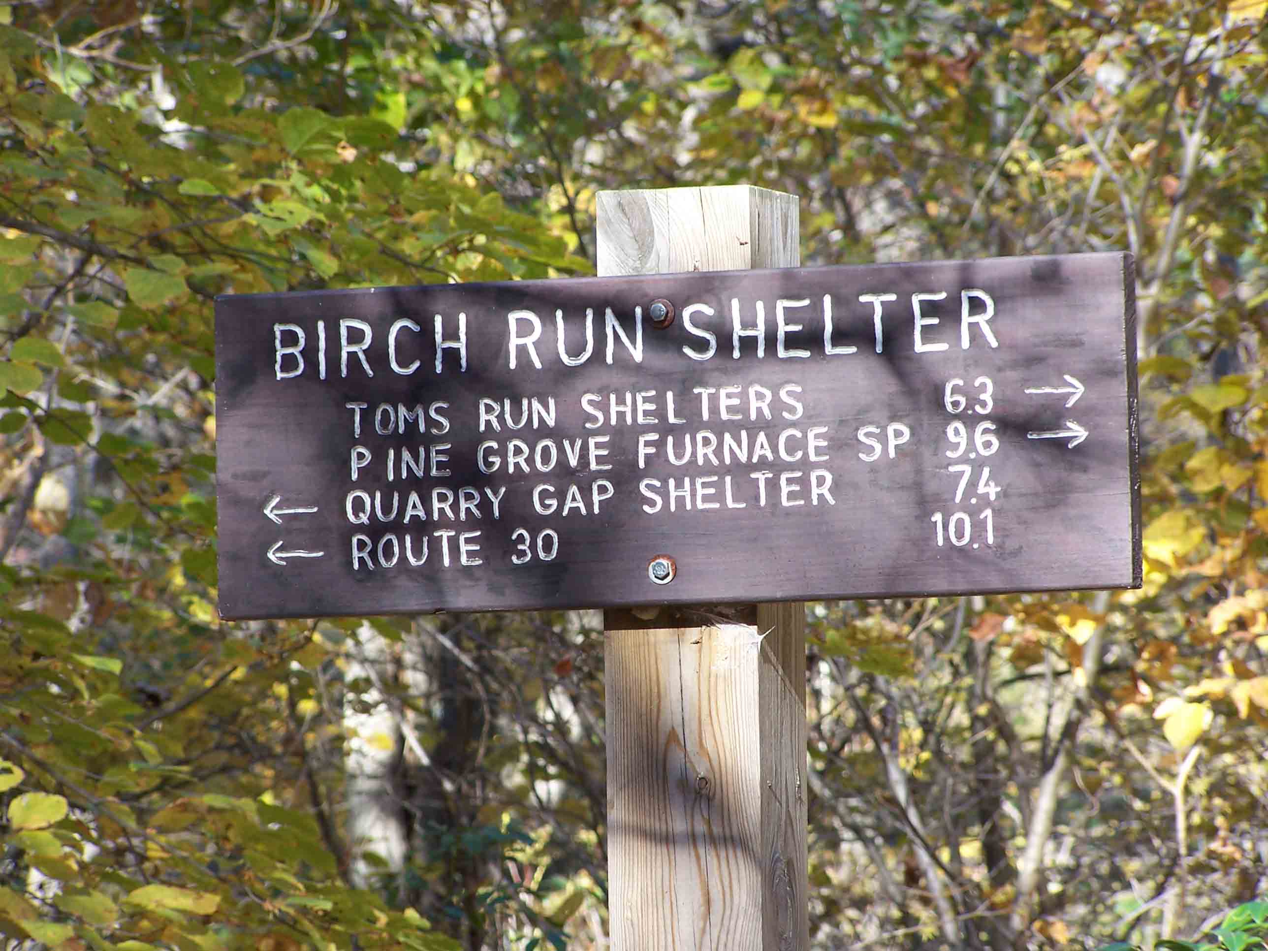
Sign at Birch Run Shelter mm 9.7
Submitted by at @ rohland.org
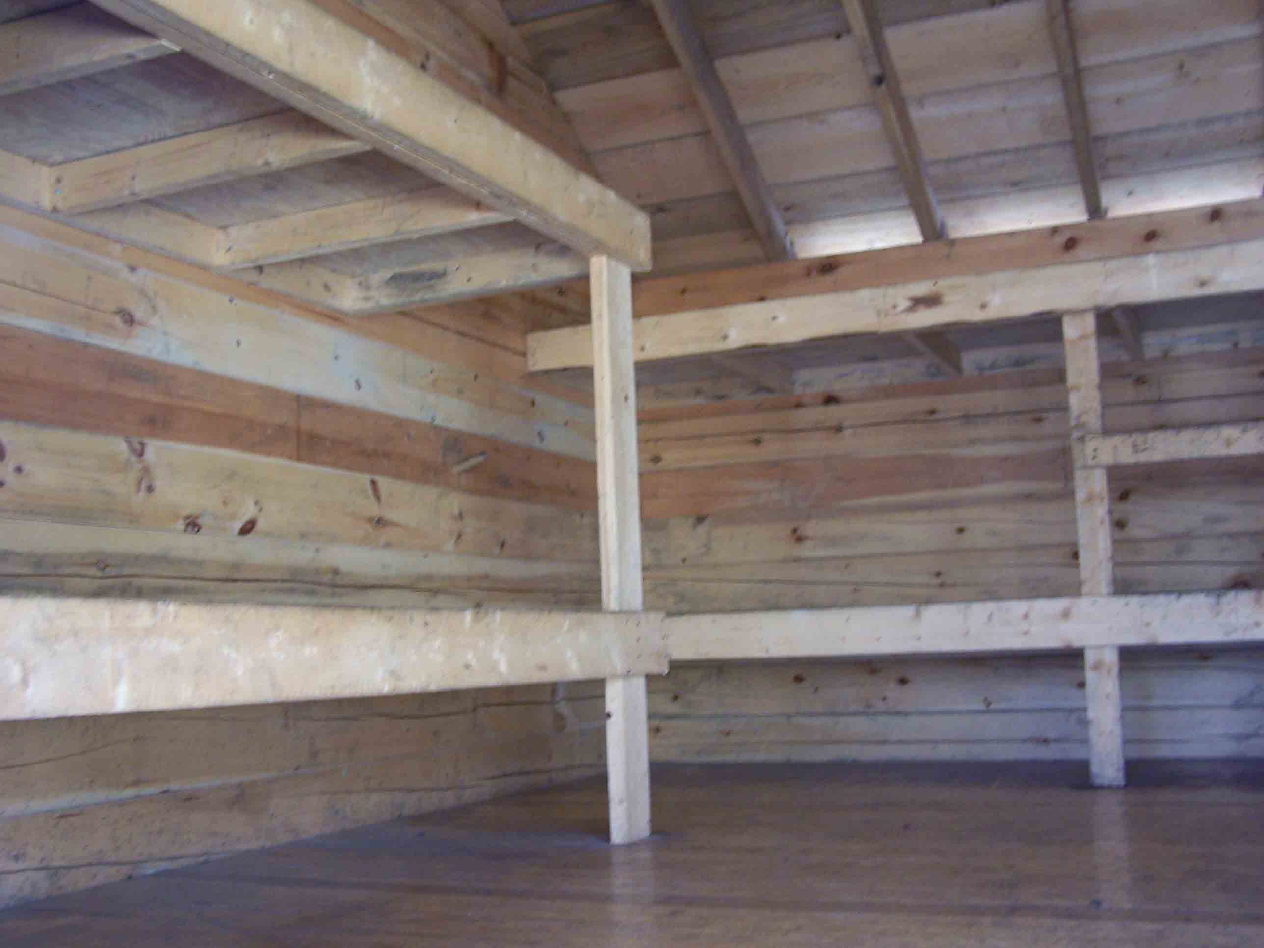
Birch Run Shelter mm 9.7
Submitted by at @ rohland.org
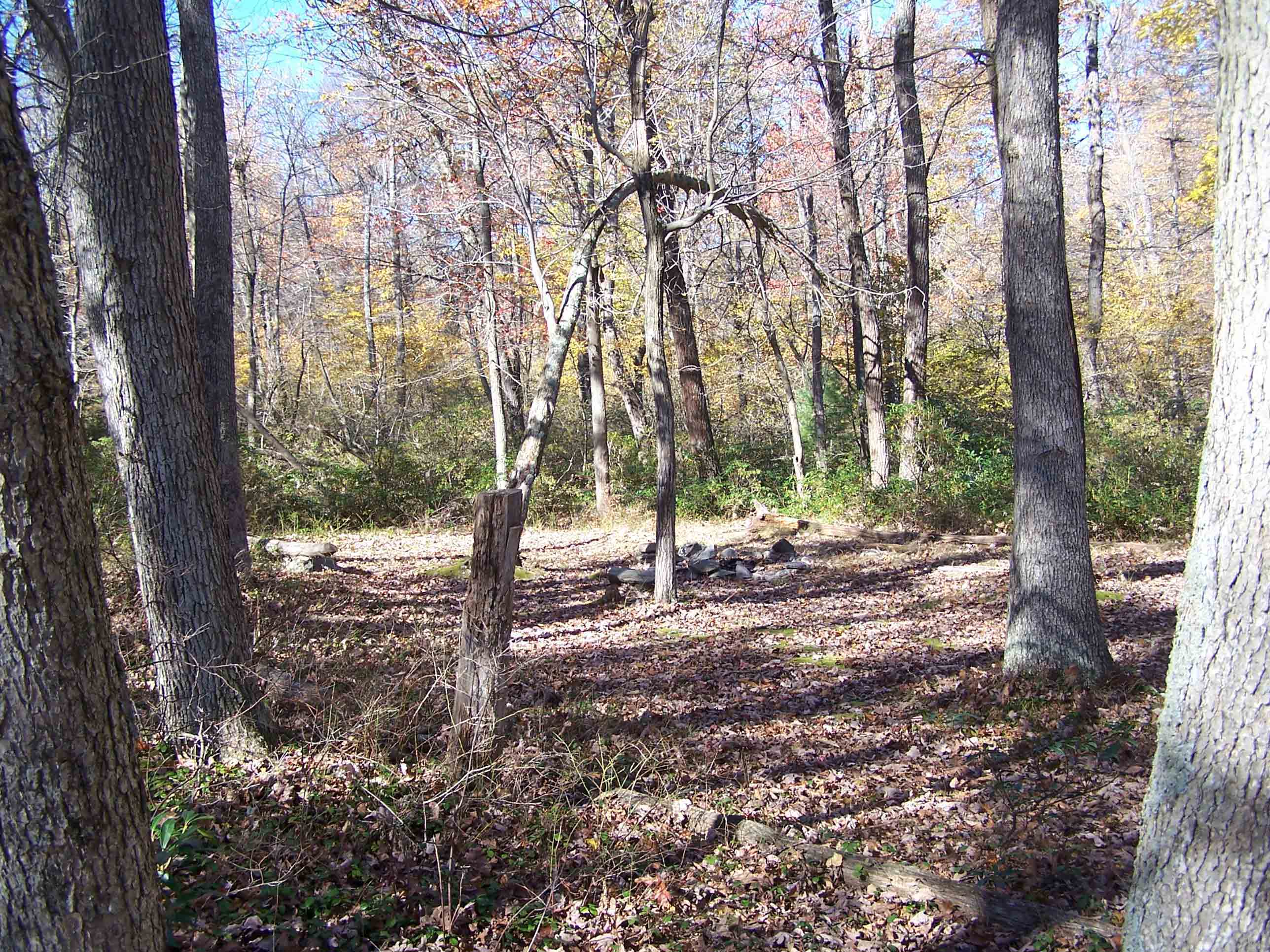
Campground between Birch Run Shelter and Rocky Knob Trail
Submitted by at @ rohland.org
South bound from Birch Run shelter, the trail climbs a hill. This campsite is at the top of the hill. Taken at approx. mm 10.0
Submitted by dlcul @ conncoll.edu
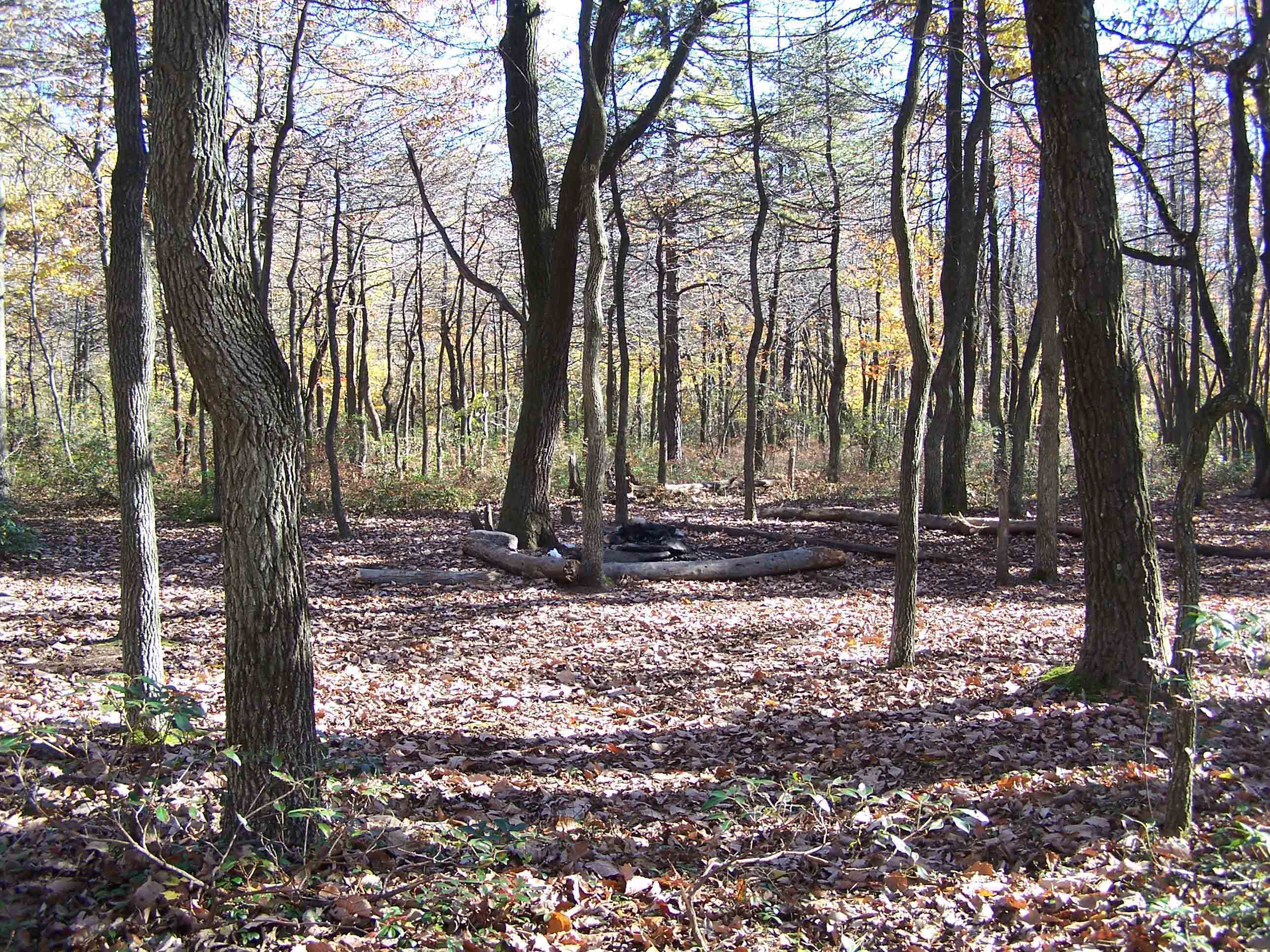
Campground between Birch Run Shelter and Rocky Knob Trail. This is probably the same one as in the previous picture.
Submitted by at @ rohland.org
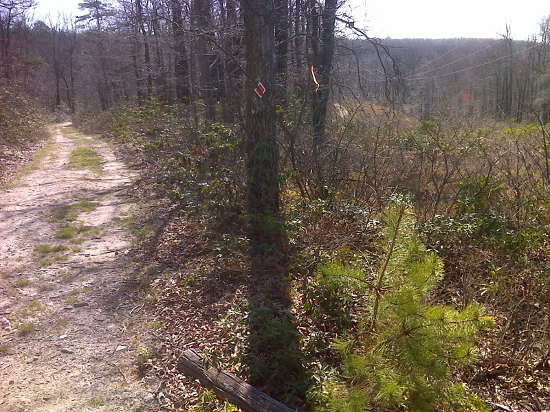
mm 10.3 Fegley Road and power line right-of-way crossing. GPS N39.9830 W77.4294
Submitted by pjwetzel @ gmail.com