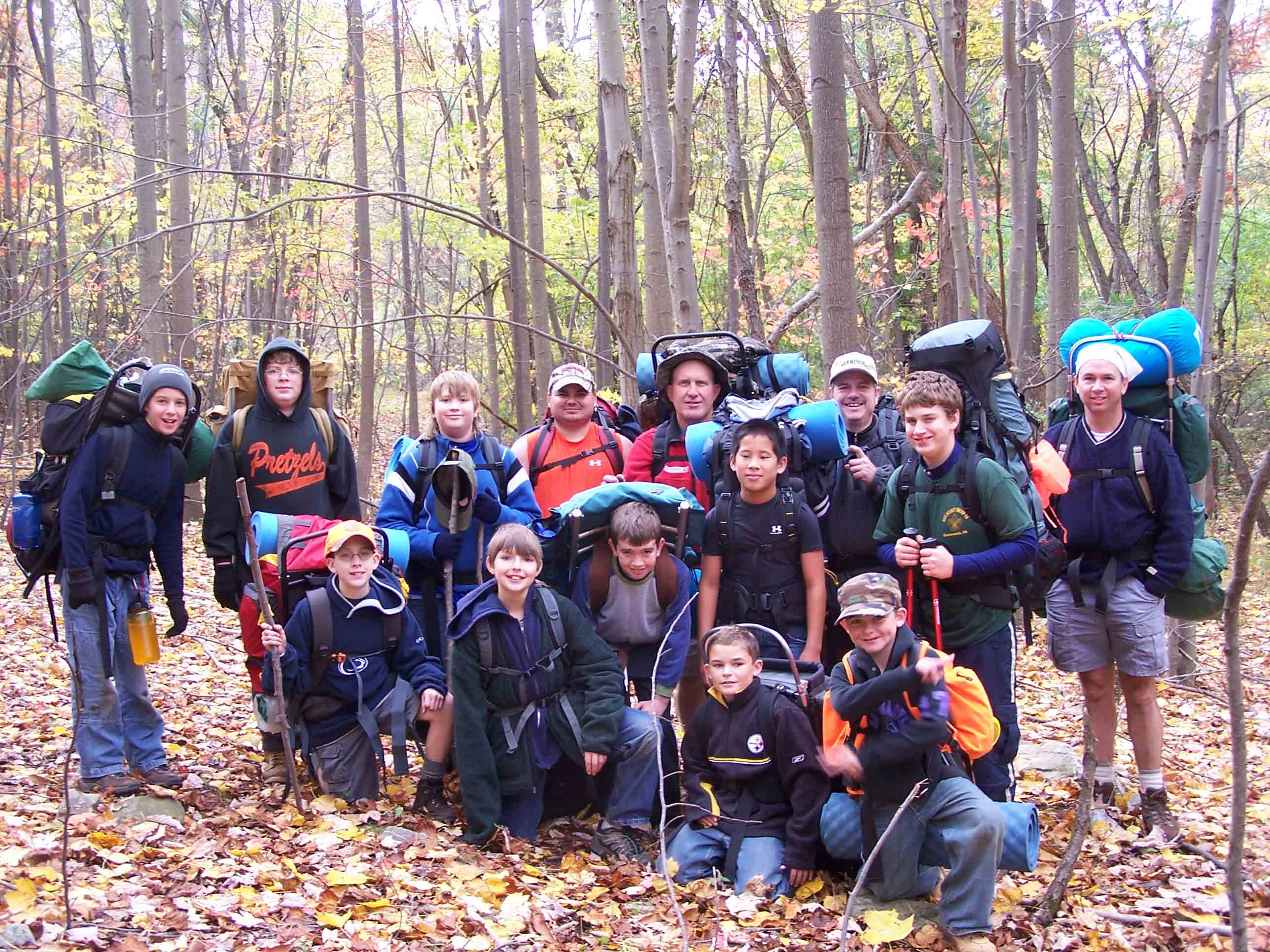
Mrs Good's second grade class was reading a book called Flat Stanley. Their school, W.G. Rice Elementary, is in Holly Springs, Pennsylvania. They liked my Flat Stanley story so much they decided to make a bunch of copies of me and have other people take me on adventures.

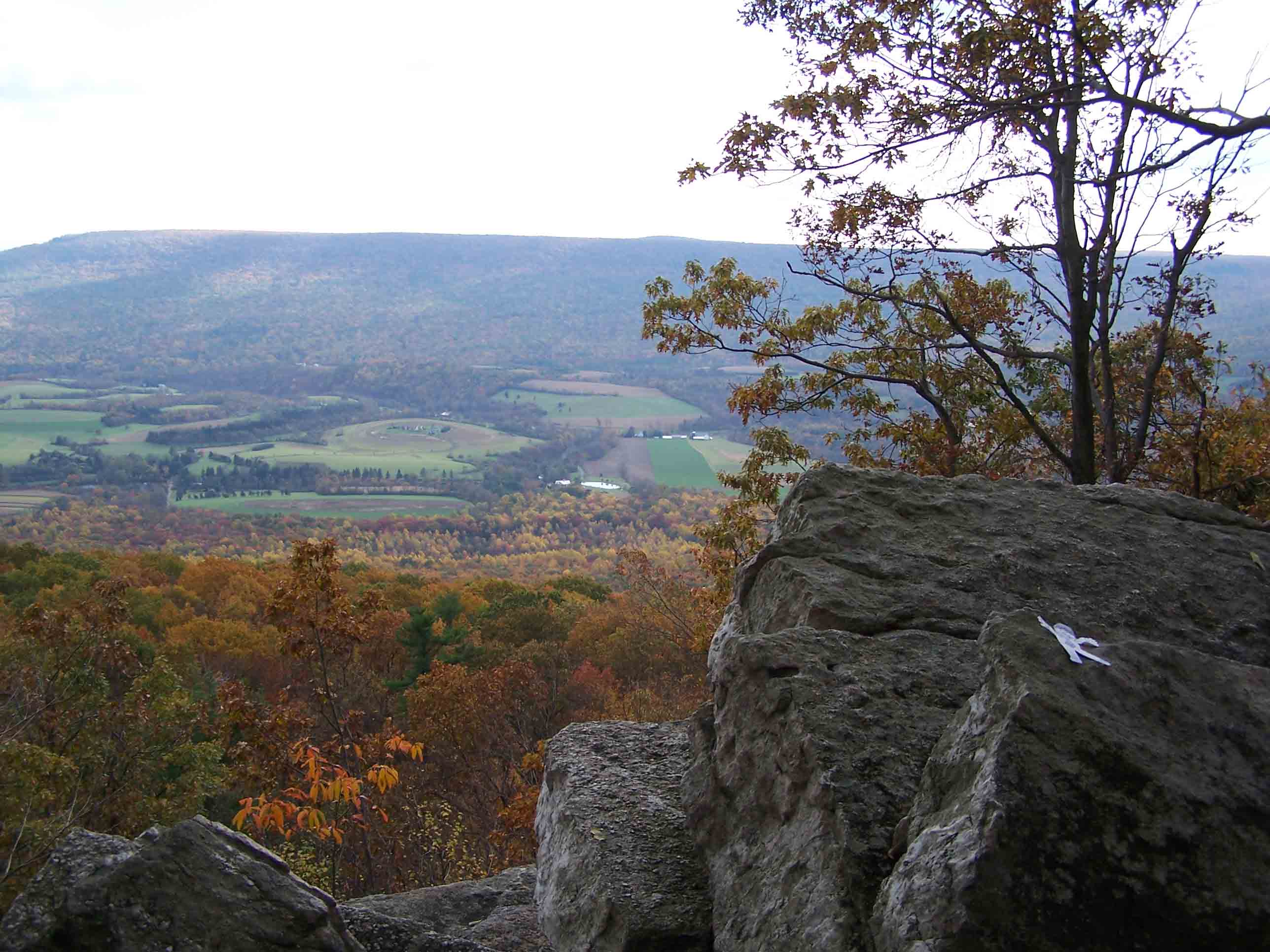
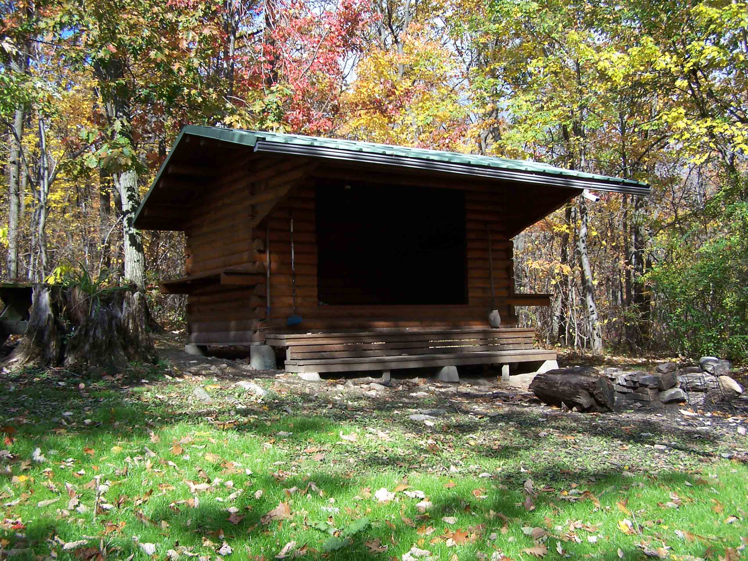
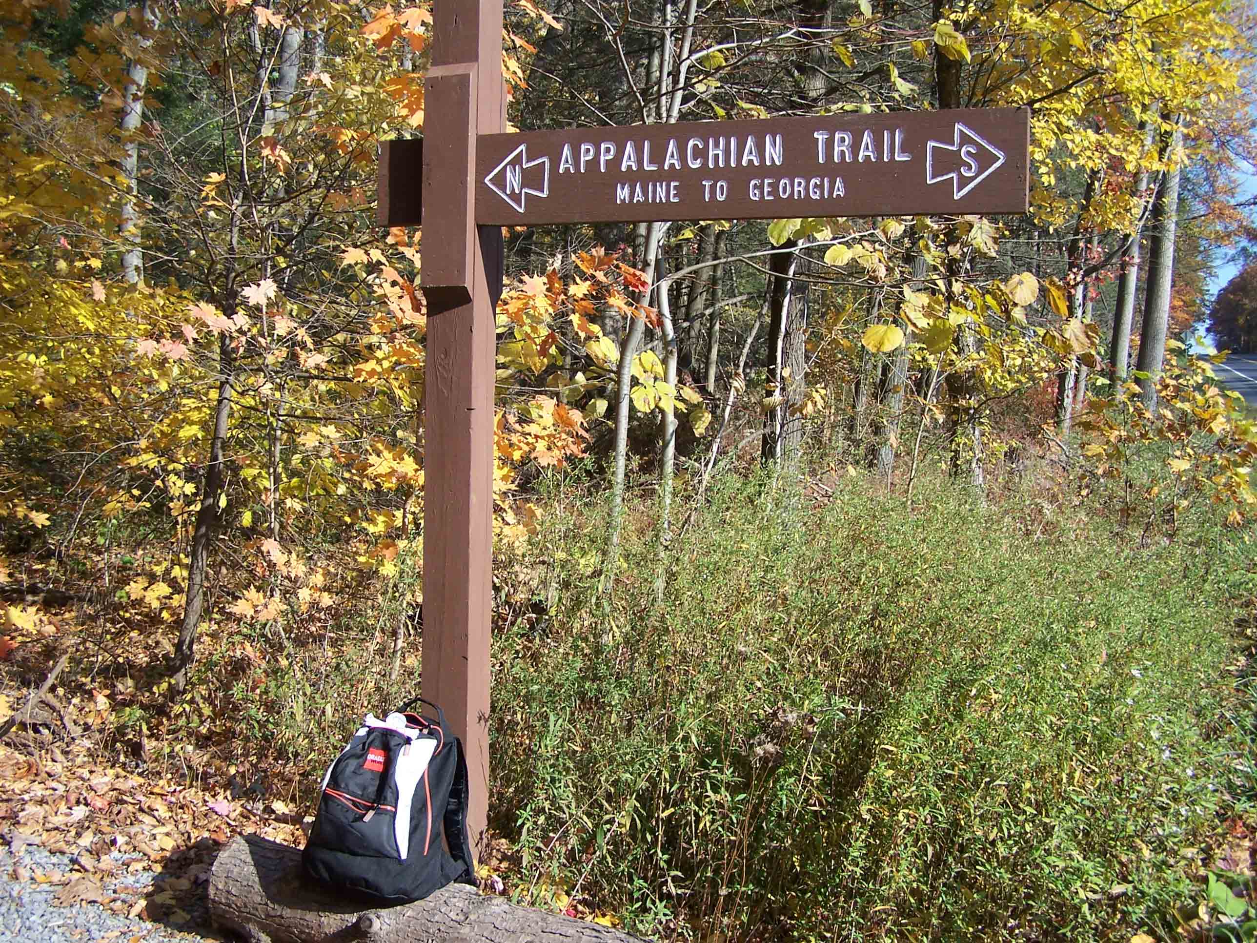
They wrote up information and put it in envelopes with copies of me. We all sat on a desk at an Appalachian Trail office just waiting for someone to adopt us. I just couldn't wait for someone to take me. I checked out everyone that came in.

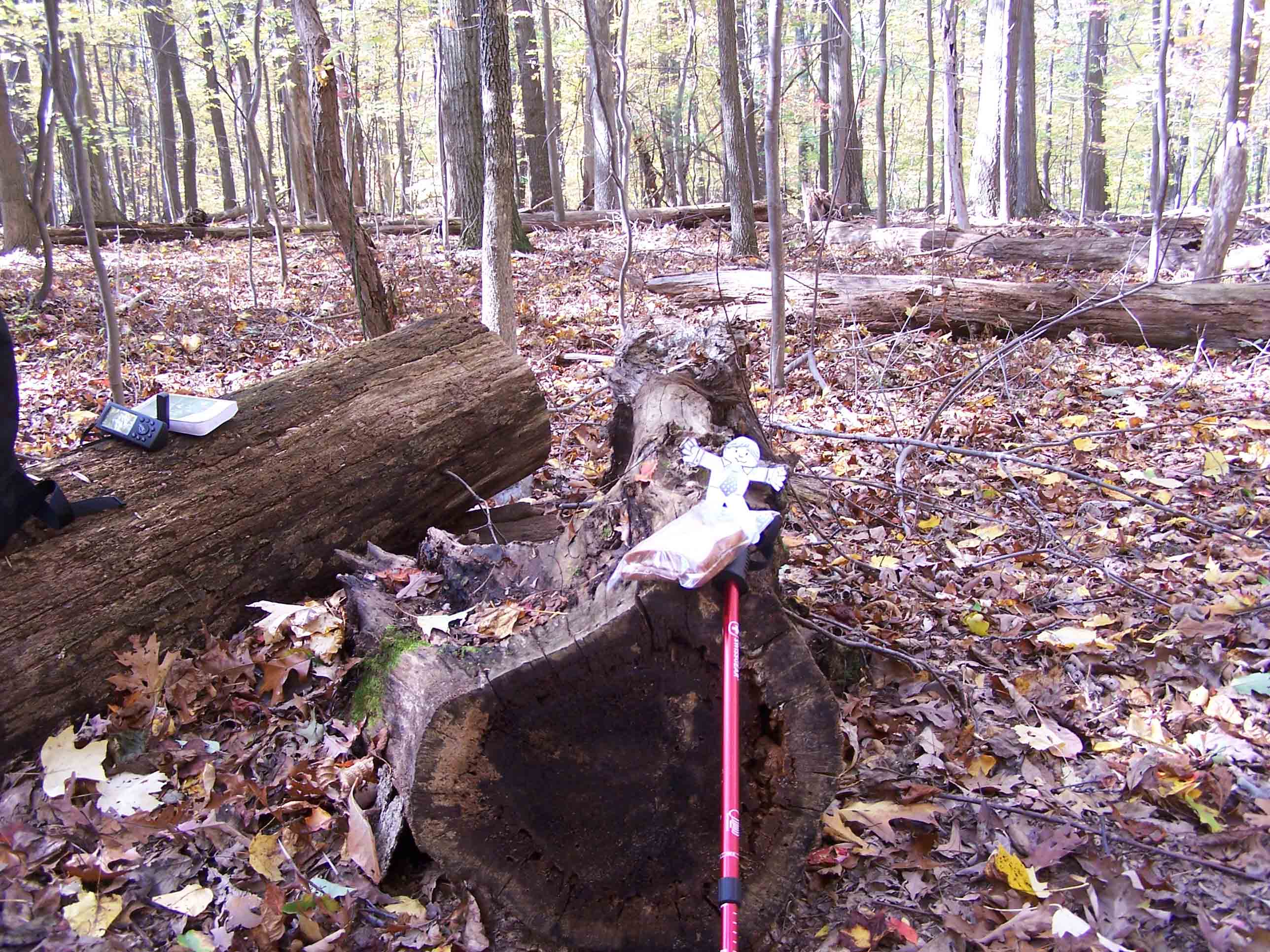
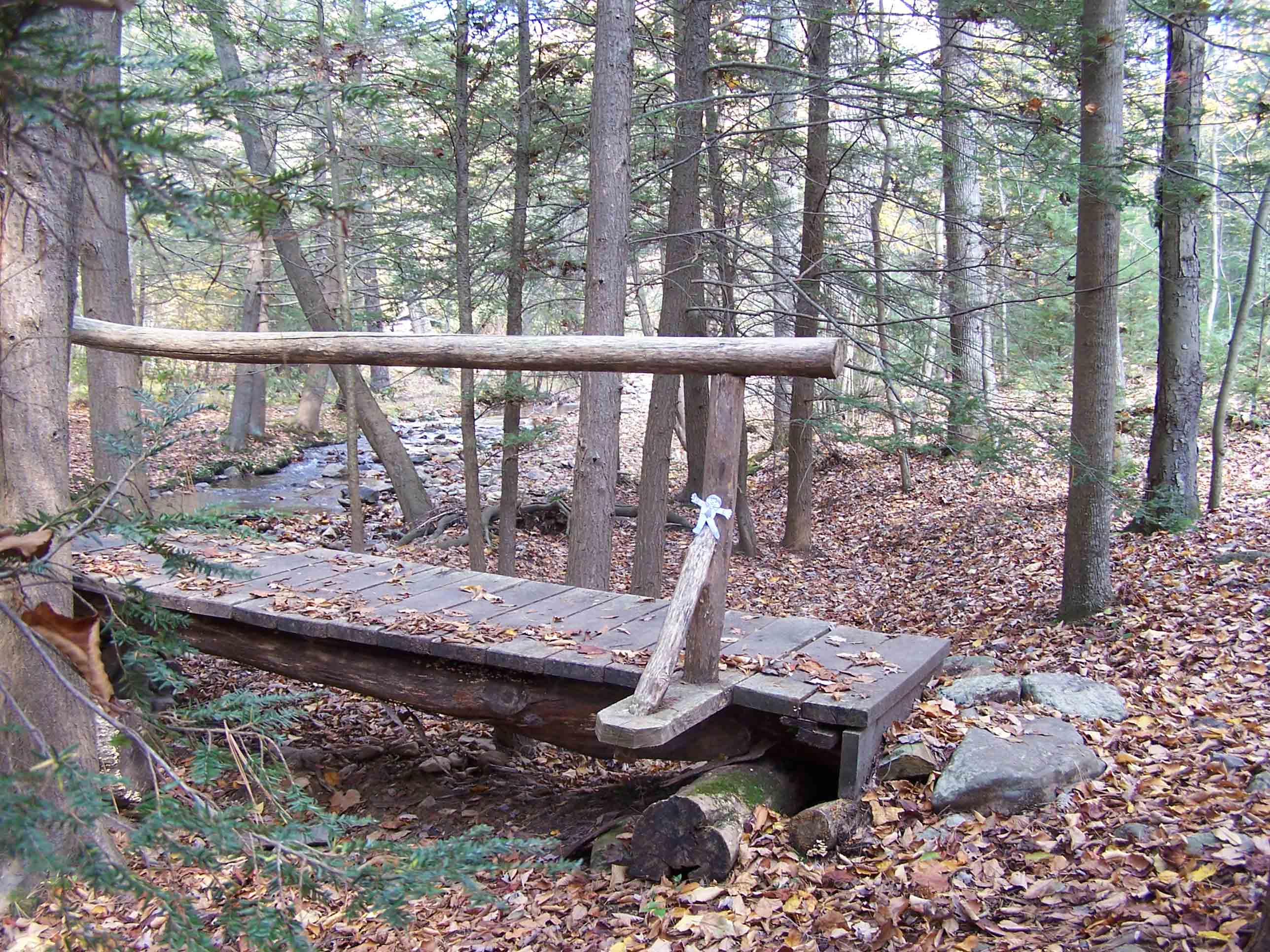
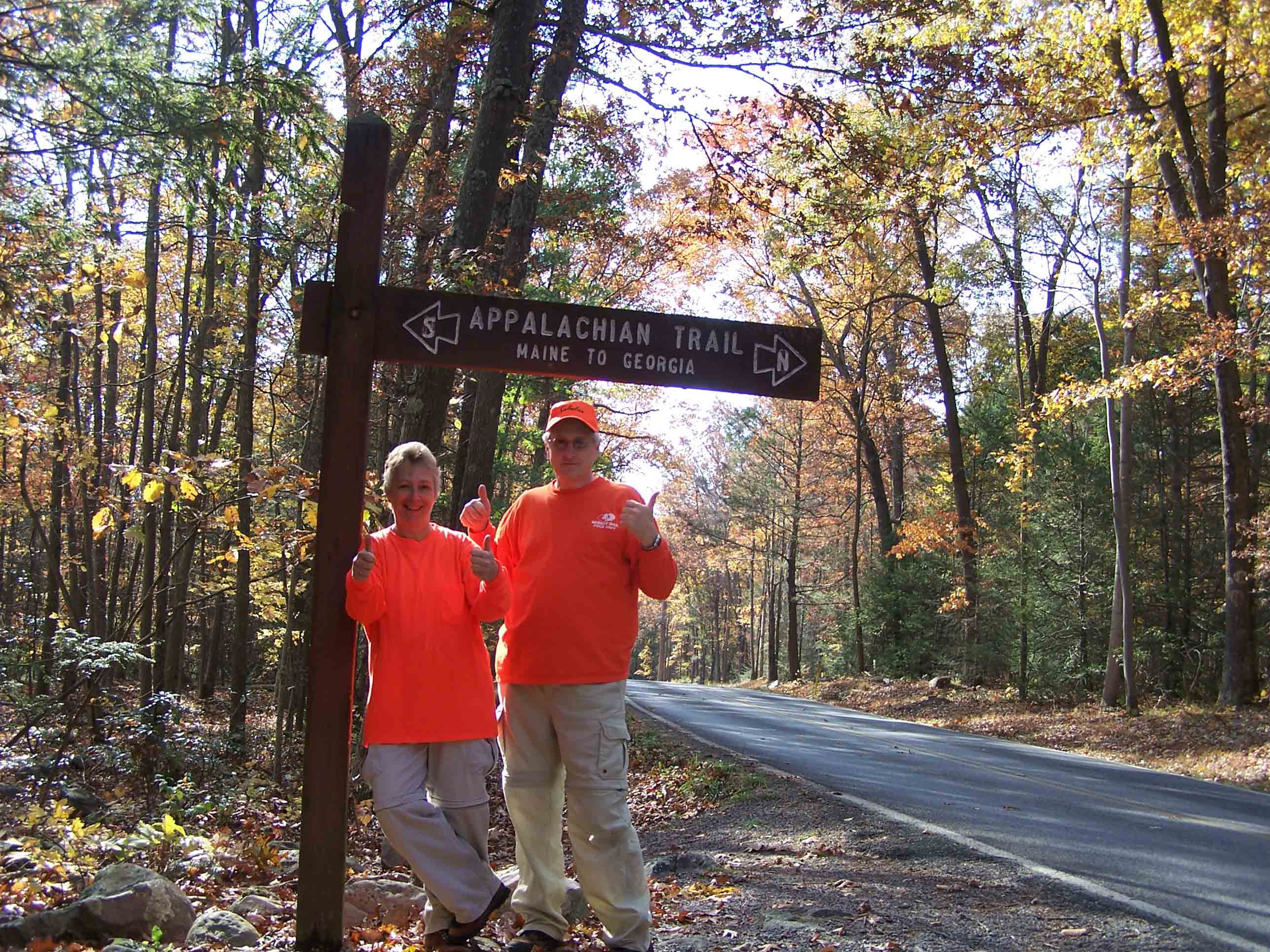
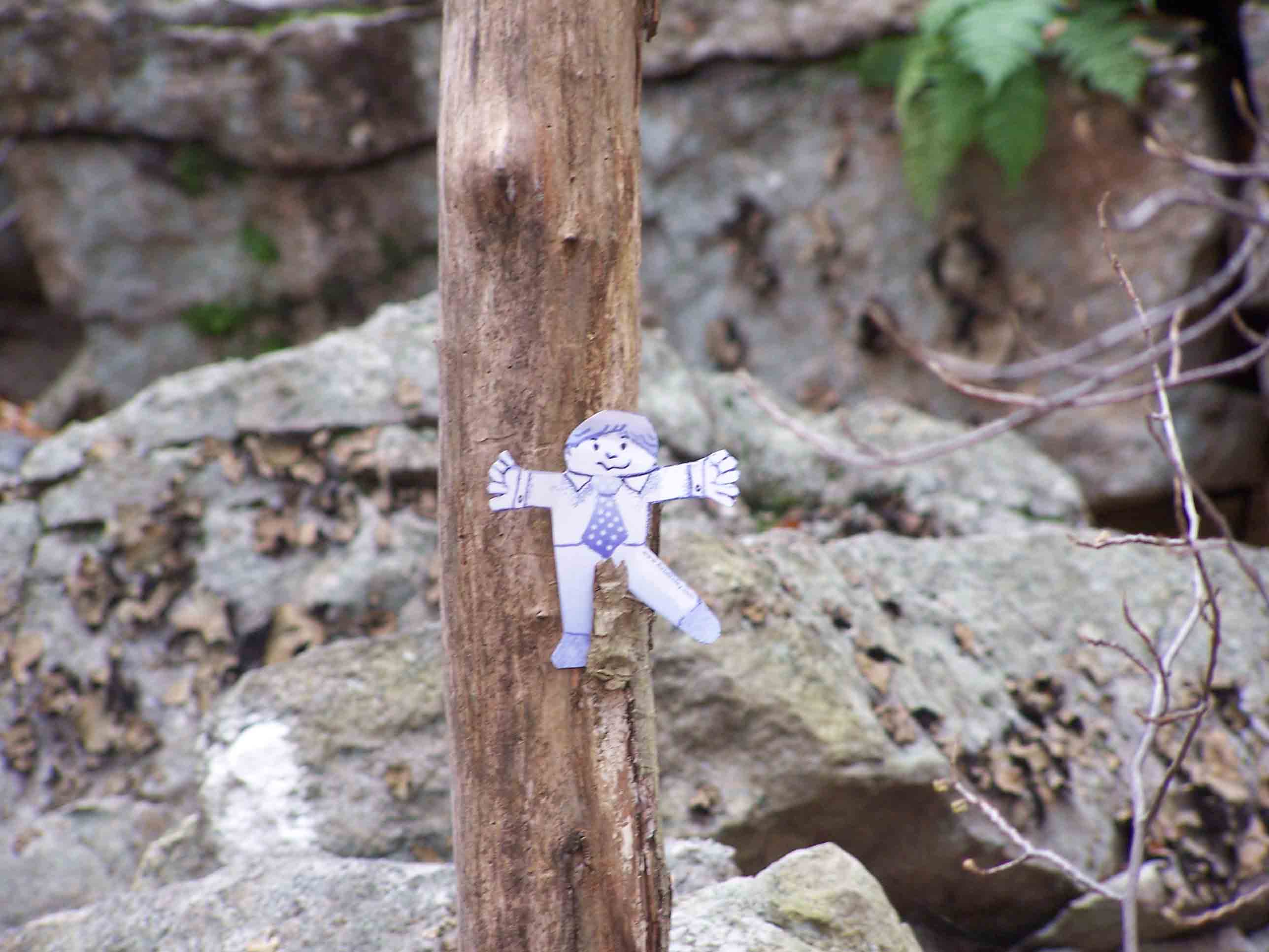
Finally on Monday, October 16th, 2006 a nice couple came in and said they would adopt me. I was so excited! My adventures on the Appalachian Trail were finally going to begin. My new name now is Flat Stanley Rohland. My parents names are Daddy Dave and Mommy Cyndi.

But, my new parents had finished hiking for the weekend. I had to wait a whole week until we would be able to go hiking. Sometimes, it is very hard to wait.


Flat Stanley by Jeff Brown 1964, Harper & Row Publishers
The Flat Stanley image found in the pictures on this site may be downloaded at: http://www.flatstanley.com/template.htm


I must admit that I was very disappointed about not hiking until I found out how I was going to travel to my new home. Check this out! I got to ride in a motorhome.

I got to sit up really high so I had a great view out all of the windows. There was so much to see on our way home. My parents live outside of Philadelphia in Bucks County.

Look behind me too. Would you believe that is my bed. That huge bed just for little me. I think I'm in heaven.

My parents call their motorhome Baby and take her to all of the areas where they go hiking. They do all of their cooking and sleeping in Baby when they go hiking.  


Finally on Saturday, October 21st, 2006 I got to go on my first Appalachian Trail hike. We hiked section 4 of the Pennsylvania Appalachian Trail. We hiked from Jacksonville-Snyders Cross Mountain Road to Eckville Gameland parking area.

We hiked 10.4 miles on Saturday and I have so much to tell you about it. You will love the pictures I have to show you.

This is how I hike most of the time. I like to ride in Daddy Dave's backpack. Whenever I see something really great, I just slip out of the backpack. Riding high up like this you get to see all of the scenery without having to do all the work.

I learned so much about the Appalachian trail from my parents. First of all, I found out that most people call it the AT for short. I'll fill you in on all of the important details.  

The Pennsylvania AT is known by a lot of hikers as "Rocksylvania" since it is so rocky. To hike this section of the trail you have to climb up and over these rocks. It was a lot of work but so much fun. You had to be careful too.

A lot of the area that we hiked on Saturday was very rocky. My parents said it was one of the rockiest areas that they have hiked.

I was riding along in Daddy Dave's backpack when all of a sudden things just didn't seem right. Poor Daddy was tipping towards Mommy. I was afraid he was going to knock her down. I think he was afraid too since he quickly shifted his body. We were headed straight for the rocks. I had to do something. I quickly slid out of the backpack between Daddy Dave and the rocks. I saved Daddy! I was the hero of the day. Since I'm already flat it really didn't matter that Daddy fell on me and I was squashed against the rocks. Sometimes it really is helpful to be flat.

There are some sections that aren't so hard to hike too I found out. Mommy and Daddy were telling me about them so I put them on another webpage here for you. I just know you will want to start hiking on the AT and have your own adventure stories to tell.  

When my parents told me how far we were going to hike on Saturday I thought for sure were were going to get lost. How can you hike that far in the woods and still know where to go?

Take a look at my picture. I'm next to what is called a white blaze. The entire AT goes from Maine all the way to Georgia. Any where you go on the AT you will find these white blazes to guide you.

There are some really special people in groups that do all the hard work to put these blazes on trees and rocks. They also clear the trail of any fallen trees. That must be so much work but they really do keep the trail in great shape. I just love hiking the AT.

Everytime you go around another bend there is something new to see. I got to see squirels and deer and all kinds of trees and ferns. I know I'll be learning a lot more from my parents.  

The AT is marked only with white blazes but every once in a while you will see blue blazes. These are side trails. You can see the blue blazes on the rocks in this picture. If you follow the blue blazes to the top of this rock hill you get to Tri-County corner. Three of Pennsylvania's counties all come together there. At the very top you will see a marker sticking up that shows this place.

This was a tough climb but we made it. When you get to the top you get to see far down to the valley. I didn't realize that we were so high. I felt like a bird I was so high.

Look at me! Mommy got so scared that I was going to fall off. No problem since I'm flat. I could just lay on the rock and look out all over the place.

Doesn't everything look so tiny? The cars look like tiny dots and the houses look like toy buildings. This place is called Dan's Pulpit. This was the best place on the whole hike. All of the trees were different colors. You could see yellow, orange, red, green and brown. Can you see where the farms are?

If you stay on the AT for a couple of days you need to find a place to sleep each night. I learned that there are shelters built all over the AT where you can stay overnight. They usually have picnic table, a pit toilet, and a fire ring.

Some hikers like to sleep outside. We saw a lot of campsites along the trail where people have made camp. I think I would really like to sleep on the trail sometime when I get big.

The people that hike all the way from Maine to Georgia are called thru-hikers and they sleep and eat on the trail. When the AT gets close to a town they stop and get food to carry along. The AT is more than 2,100 miles. That is a VERY long distance to hike. I wonder if I could ever do that when I get big.

My parents are slackpackers. That means they hike all day but they don't sleep on the trail. They sleep in Baby.

That was the end of our hike for Saturday. I'm really ready to go back to Baby for dinner. Hiking can make you really hungry.

But wait! No dinner until we drive all the way to section 14 of the Pennsylvania AT. We will be hiking section 14 on Sunday. Oh how can a little belly survive? I'll just have to snack on some of my trail mix that I have left over. Did you know that some hikers call this mixture of nuts, raisins and M & M's GORP. I didn't know that but I really like it.  


Here I am on Sunday all ready for my hike of section 14 of the Pennsylvania Appalachian Trail. See the sign behind me? That's how you find the trail from the road. Whenever the AT crosses a well used road you will see one of these signs.

We hiked south. Can you tell which direction we went from the picture? There is a clue on the sign.

We hiked 5 and a half miles on Sunday. We went from Route 16 to Old Forge Road. Thank heavens this area was much easier to hike then Saturday's hike was. 


Both days we met a lot of really nice people. Everyone was having a great time on the AT. Here is one of the Boy Scout troups that we met. Look at all of the stuff they have to carry. They are staying overnight on the trail so they need to carry their sleeping bags, mats for under the bags, warm clothes, tents and all their food and cooking utensils too.

I want to be a Boy Scout and camp on the AT. They looked like they were having a great time. Mommy says that I can be a Cub Scout now and in a few years I can join the Boy Scouts. 

Lunch time - yeah! I'm so hungry. We picked out a nice place with big logs for seats. Daddy made us some great sandwiches and Mommy made us brownies for dessert - total yum! We also carry water with us. You can't go on a big hike without plenty of water. I have an apple too but I think I'll save that to nibble on while I am hiking.

While we were eating, Mommy and Daddy looked at their Pennsylvania Appalachian Trail Guide book. It tells you how far you still need to hike. The book also tells you what you will see and what the trail will be like. My parents have maps too that show you where the trail goes and how many hills you have to hike. The Appalachian Trail Conservancy makes these books and maps.

See that black thing in front of the guide book? It's called a GPS. It uses satelites to tell you exactly where you are. You don't have to one of these to go hiking. My parents use it when they travel in Baby so they bring it along when we go hiking too. It tells us how fast we hike and how far back to Baby.

Mommy's hiking pole is in front of me. She and Daddy use them to help them when walking along the trail. It has a point on the end that sticks into the ground. 

The groups that take care of the AT also build bridges like this to make it easier for us to cross streams.They think of everything.

I was going to slip down to the water to get a cool drink but Mommy stopped me quickly. She said, "You never know what animals have been in the water. It's not safe to drink water from streams or springs unless you filter or treat it. That's why we carry our own water. Daddy has plenty of water in his pack for you to drink."

I found some neat stones down at the creek that I was going to take home but Daddy said, "That's not allowed. If you take things home then they won't be here for the next person to see. When you hike on the AT remember to Leave No Trace."

Now I understand why the AT is so nice to hike. Everyone had left it just like they have found it so I can see it too.   

I couldn't understand why we had to go to two different places to hike on Saturday and Sunday. It just didn't make any sense to me. That was too much driving if you ask me. But there is a reason. My parents have hiked all of the Pennsylvania AT except for these two areas. They totally finished Pennsylvania on Sunday. Do you like the picture that I took of them. They were so excited to be done.

The Pennsylvania AT is 230 miles. My parents had to hike most of that twice. They park Baby, hike then turn around and hike back to Baby. We were lucky this weekend. They took a car and Baby so we didn't have to hike all the way back too.

My parents and a lot of other hikers have recorded information about where to find the Appalachian Trail. My parents started this website - http://appalachianTrail.rohland.org. You might like to visit it too and find your state and where you can get to the AT. We took a lot more pictures of our hikes of section 4 (mm 2.2 - 12.4) and section 14 (mm 9.8 - 15.3). We put these pictures on the website for you to see too.

My parents told me that if it doesn't get too cold they will take me hiking again in two weeks. I hope we can. We will be going to New Jersey and I will have all new stories to tell you. So come back and visit.

Time to pack up and take Baby back home. See you soon.


Children's AT Page | Submit A Stanley on the AT Story | Submit Children on the AT Pictures | AT Parking/Access Areas | Webmaster