CT Section 1 Pictures - Milemarker 0.0 - 1.0
Sages Ravine - North side of Bear Mountain
Move your mouse across the pictures for more information.
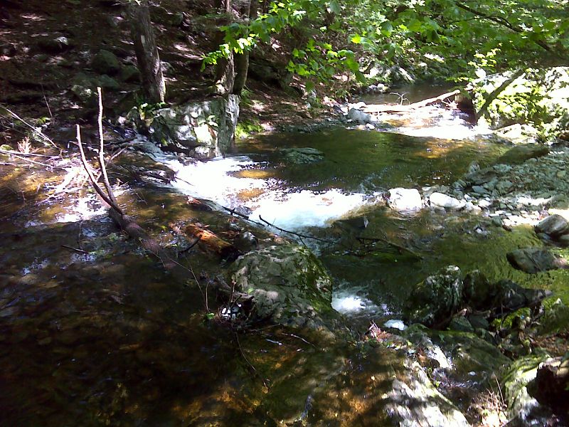
mm 0.0 Crossing of Sages Ravine Brook. Choices are to ford or use precarious logs and boulders. Once there was a bridge here. GPS N42.0524 W 73.4440
Submitted by pjwetzel @ gmail.com
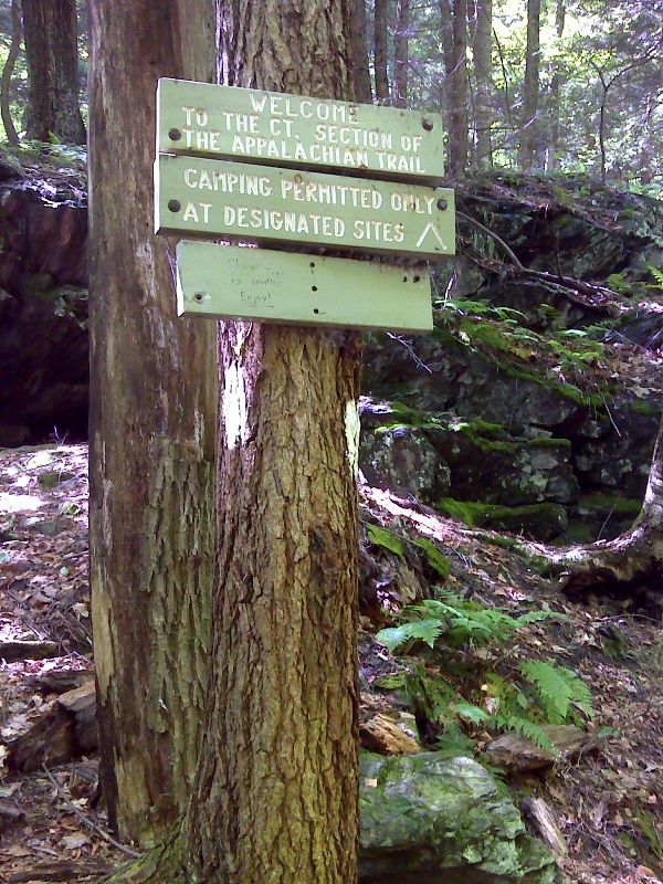
mm 0.0 Sign on the south side of the Sages Ravine Brook crossing. Even though the ravine is actually in Massachusetts, this crossing has traditionally been the dividing line between the sections maintained by the CT chapter of the Appalachian Mountain Club (to the south) and the Berkshire chapter of the AMC (to the north). Thus the Welcome to Connecticut sign. GPS N42.0524 W 73.4440
Submitted by pjwetzel @ gmail.com
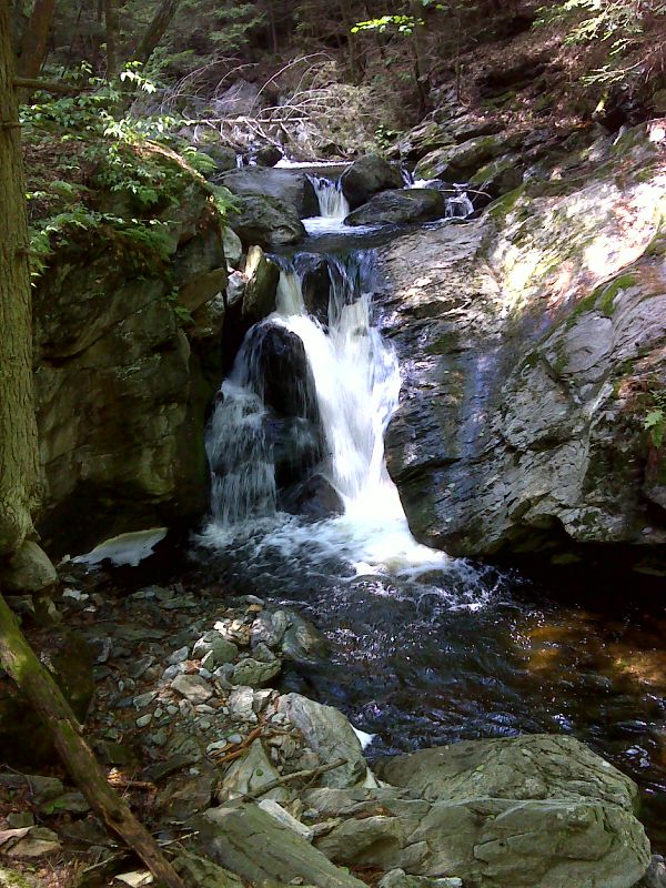
Waterfall in Sages Ravine. GPS N42.0524 W 73.4456
Submitted by pjwetzel @ gmail.com

Deep dark Sages Ravine taken in summer 2006 on an overnight hike. Taken at approx. Mile 0.4. The first 0.7 miles of CT Section 1 through this ravine is actually in MA.
Submitted by rging @ charter.net
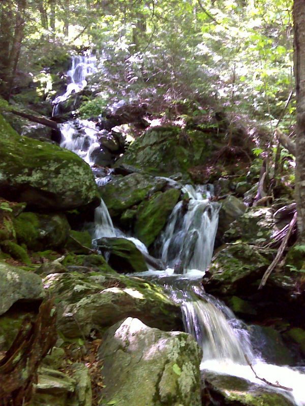
Bold side stream into Sages Ravine. GPS N42.0522 W 73.4473
Submitted by pjwetzel @ gmail.com
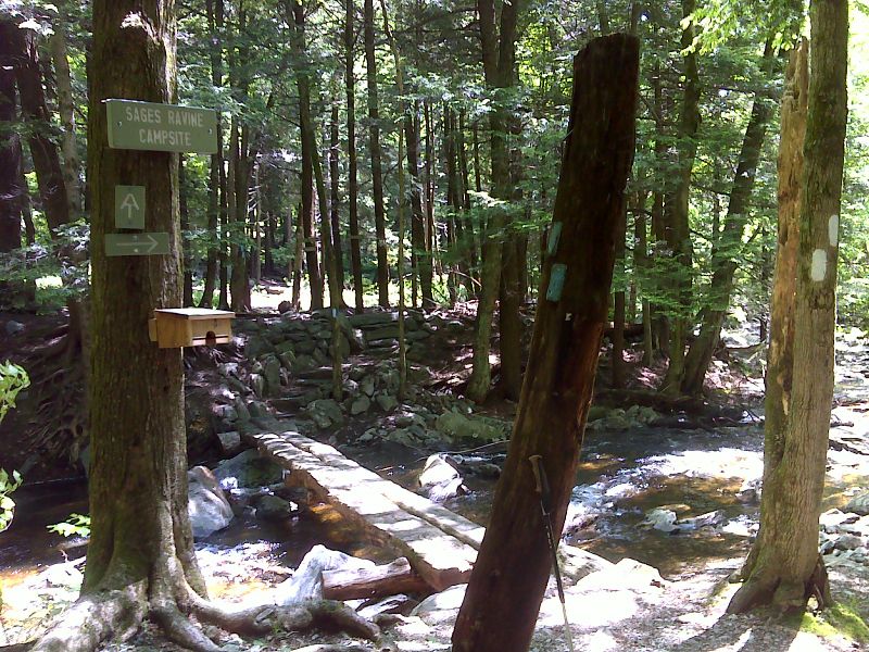
mm 0.6 Sages Ravine Brook Campsite. GPS N42.0533 W 73.4529
Submitted by pjwetzel @ gmail.com
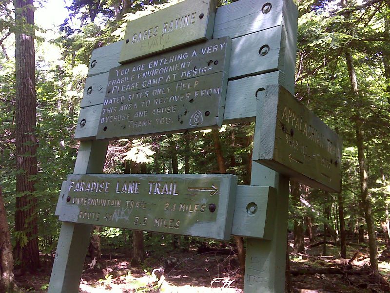
mm 0.7 Junction with the Paradise Lane Trail. This junction is very near the true CT-MA state line. GPS N42.0508 W 73.4547
Submitted by pjwetzel @ gmail.com
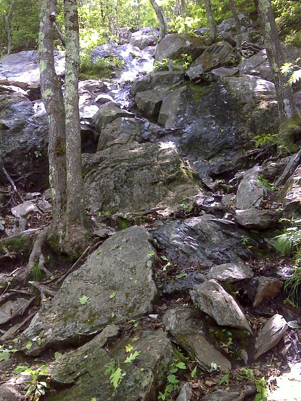
Steep rock scramble on north side of Bear Mountain. GPS N42.0469 W73.4533
Submitted by pjwetzel @ gmail.com