CT Section 1 Pictures - Milemarker 1.4 - 2.1
Bear Mountain - Bear Mountain Road
Move your mouse across the pictures for more information.
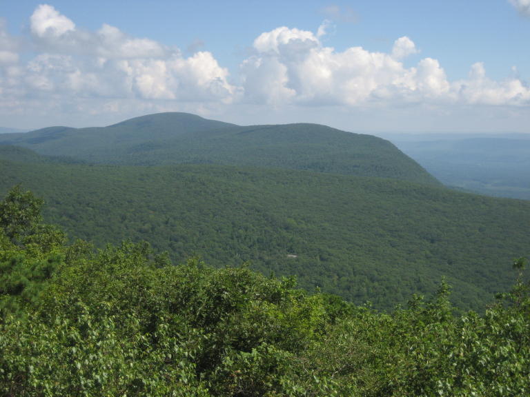
mm 1.4 - View of Race Mtn and Mt Everett in Mass taken from Bear Mtn Ct in summer 2006
Submitted by rging @ charter.net
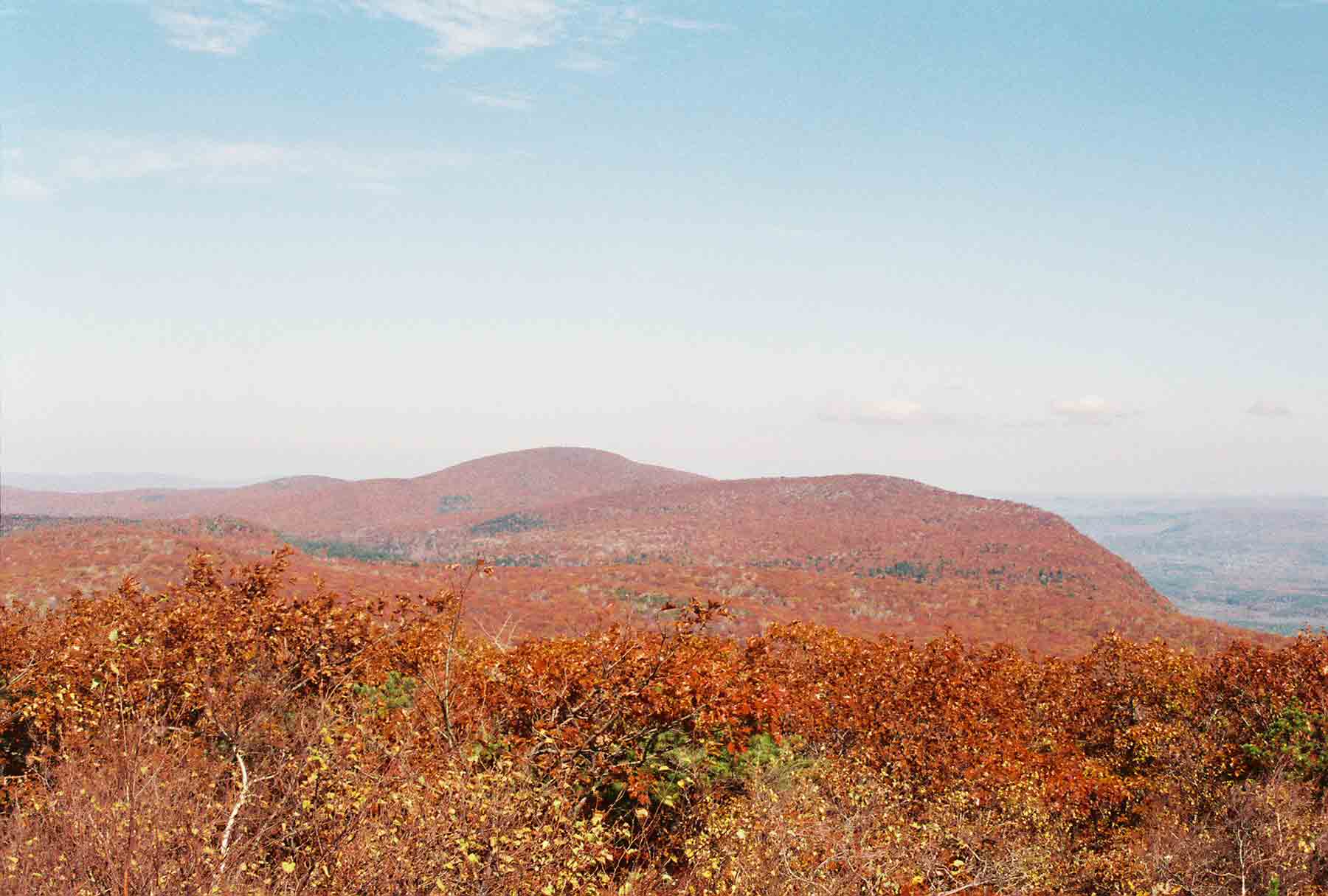
mm 1.4 - Fall View from summit of Bear Mt. looking north towards Mt. Everett and Race Mt.
Submitted by dlcul @ conncoll.edu
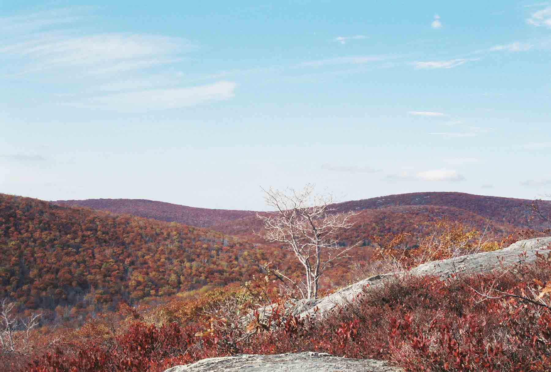
mm 1.4 - Fall view to the west from the summit of Bear Mt. The two peaks are Brace Mt. (on left) and Mt. Frisell. The highest point in Connecticut is on the south side of Mt. Frisell.
Submitted by dlcul @ conncoll.edu
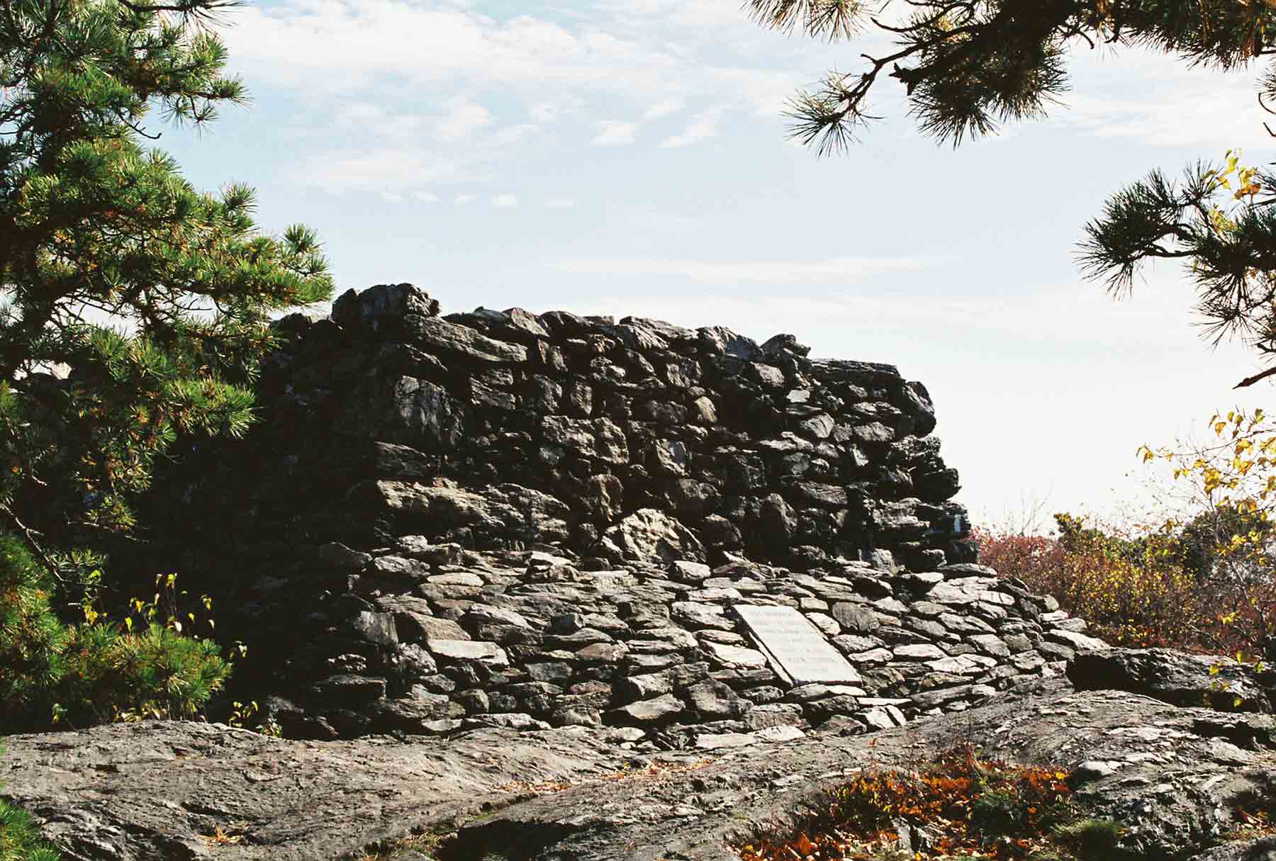
mm 1.4 - The monument at the summit of Bear Mt. This was at one time much higher. At the time it was built, Bear Mt. was believed to be the hghest point in CT. It is the highest peak but not the highest point (see previous picture).
Submitted by dlcul @ conncoll.edu
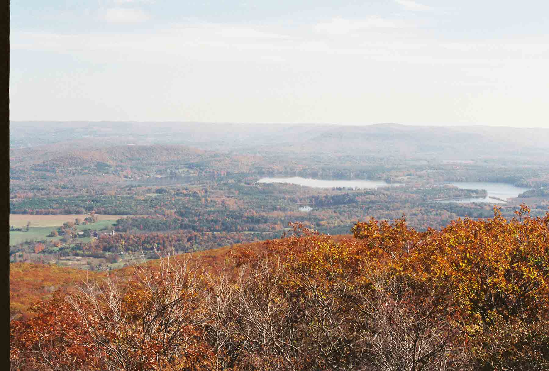
mm 1.4 - View to east from summit of Bear Mt.
Submitted by dlcul @ conncoll.edu
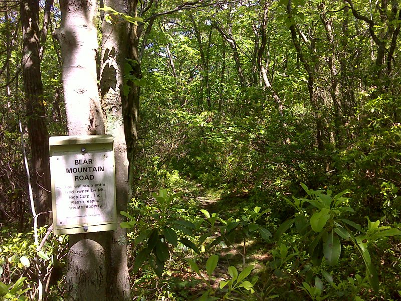
mm 2.1 Junction with Bear Mountain Road. This old charcoal road, not passable by autos leads in about a mile to parking on Mt. Washington Road. GPS N42.0371 W 73.4568
Submitted by pjwetzel @ gmail.com
mm 2.1 There are two parking areas on the east side of Mount Washington Road, just south of the Massachusetts boundary. This is the more southern one. Contrary to what some map programs show, there is NOT a road going from this parking lot to the A.T.
Submitted by maltesecross @ comcast.net
mm 2.1 The trail from the more southern parking area on the east side of Mount Washington Road, just south of the Mass Conn boundary. Some map programs, including Google, show a road going to the A.T. from this parking area. This photo shows that this is obviously NOT a road.
Submitted by maltesecross @ comcast.net