CT Section 1 Pictures - Milemarker 2.3 - 4.0
Riga Junction - Riga Shelter
Move your mouse across the pictures for more information.
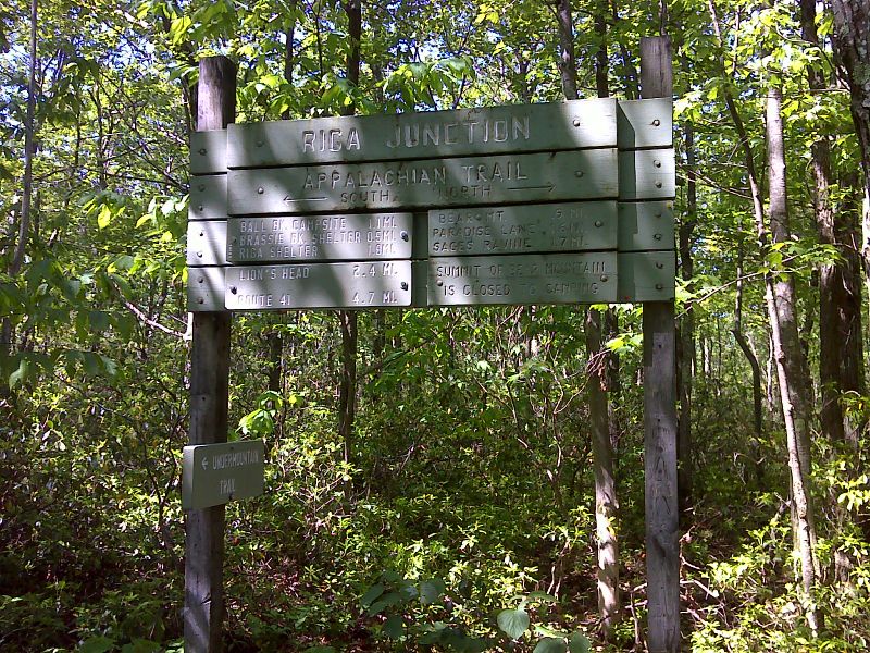
mm 2.3 Riga Junction. The Undermountain Trail leads east 1.9 miles to the Undermountain parking area on CT 41. GPS N42.0349 W 73.4547
Submitted by pjwetzel @ gmail.com
mm 2.3 Trail head parking area on the west side of Highway 41 for the Undermountain Trail, which also goes to the Paradise Lane Trail (mm 0.7). This parking area is north of the parking area where the A.T. crosses over this highway.
Submitted by maltesecross @ comcast.net
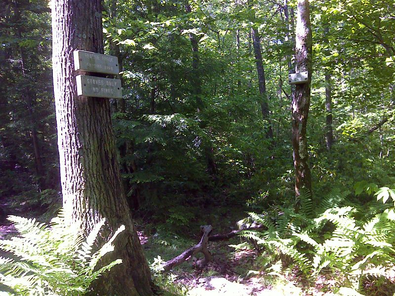
mm 2.8 Side trail to Brassie Brook Shelter. GPS N42.0287 W73.4539
Submitted by pjwetzel @ gmail.com
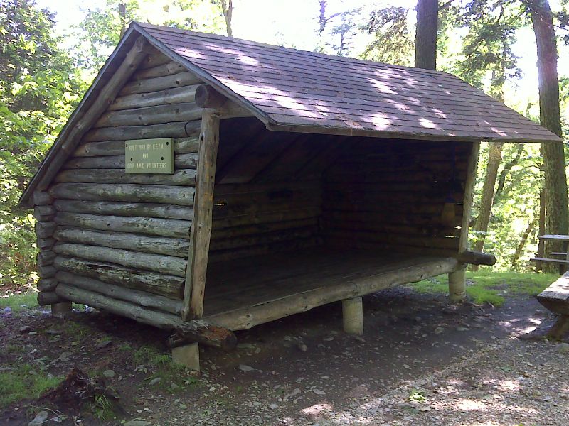
mm 2.8 Brassie Brook Shelter. GPS N42.0284 W73.4534
Submitted by pjwetzel @ gmail.com
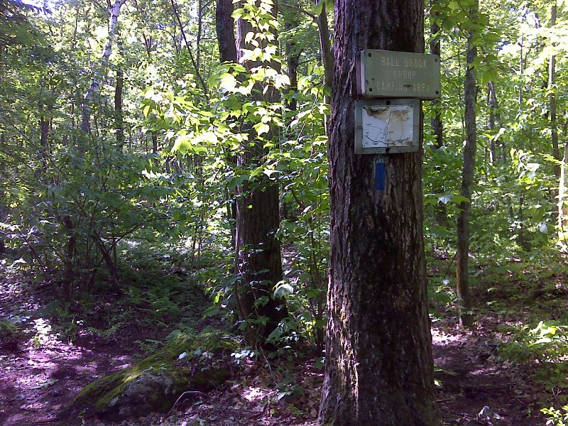
mm 3.4 Side trail to Ball Brook campsites. GPS N42.0213 W73.4547
Submitted by pjwetzel @ gmail.com
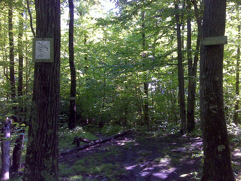
mm 4.0 Side trail to Riga Shelter. GPS N42.0146 W73.4527
Submitted by pjwetzel @ gmail.com
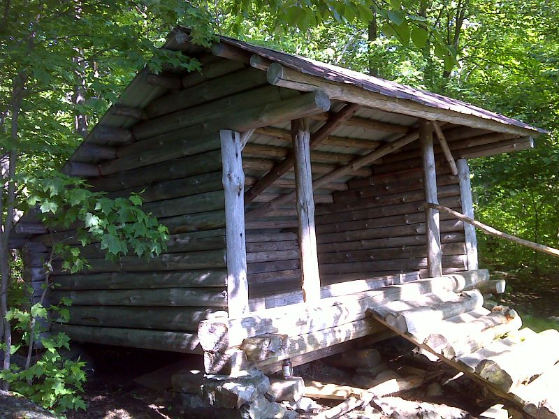
mm 4.0 Riga Shelter. GPS N42.0155 W73.4520
Submitted by pjwetzel @ gmail.com
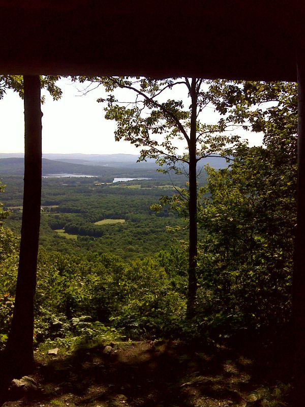
mm 4.0 View from inside Riga Shelter. GPS N42.0156 W73.4520
Submitted by pjwetzel @ gmail.com