CT Section 1 Pictures - Milemarker 4.6 - 7.4
North Slope of Lions Head - CT 41
Move your mouse across the pictures for more information.
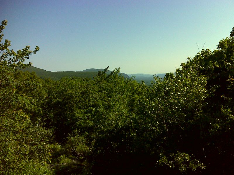
mm 4.6 Looking north from north slopes of Lions Head. Mt. Greylock can be seen in the far distance. GPS N42.0084 W73.4477
Submitted by pjwetzel @ gmail.com
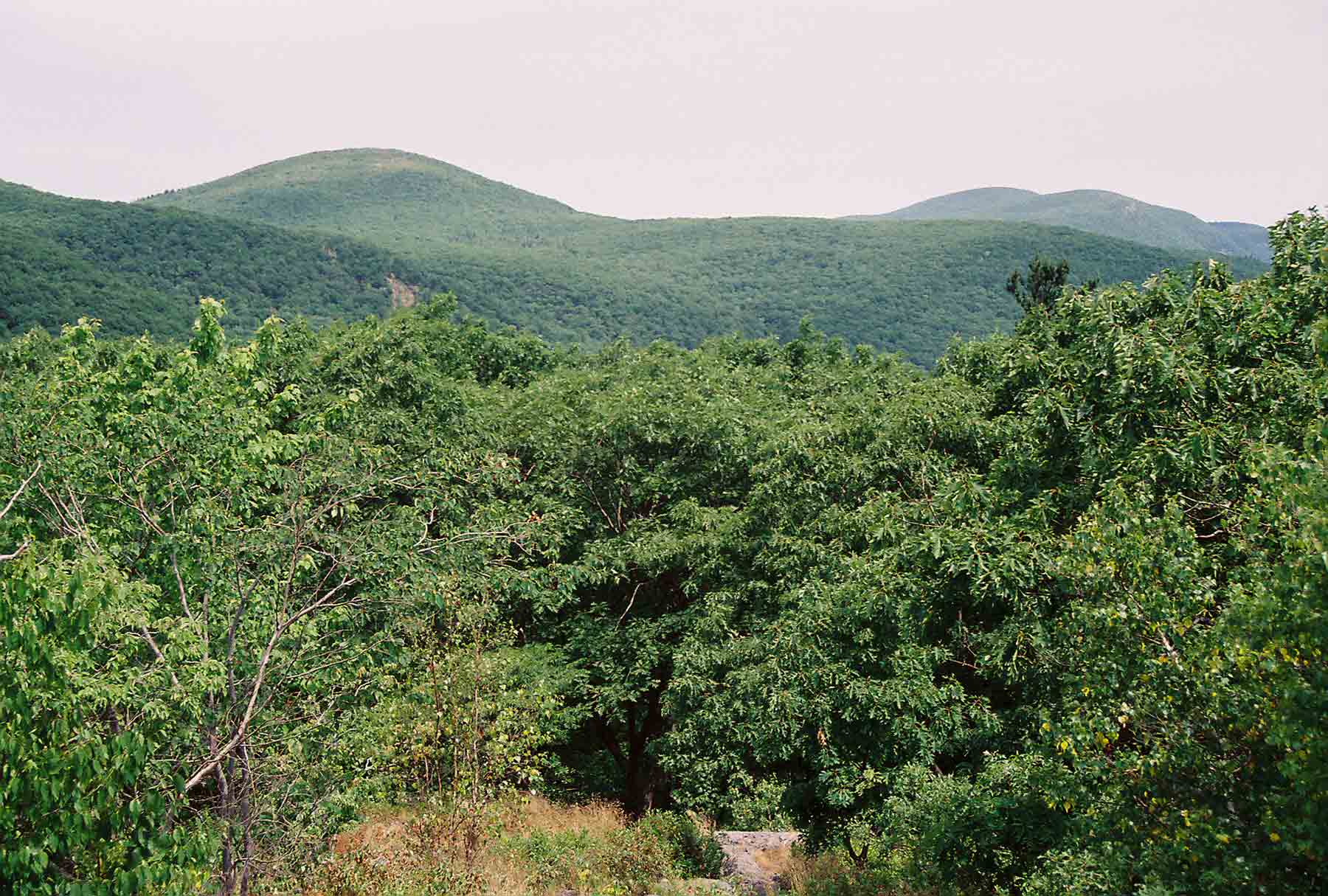
mm 4.6 - View looking north from the north outlook on Lions Head. Nearest mountain on left is Bear Mt., highest peak (but not highest point) in CT. The two mountains on the right are Race Mt. and Mt. Everett. The higher one is Everett. The northbound AT goes over all three of these mountains.
Submitted by dlcul @ conncoll.edu
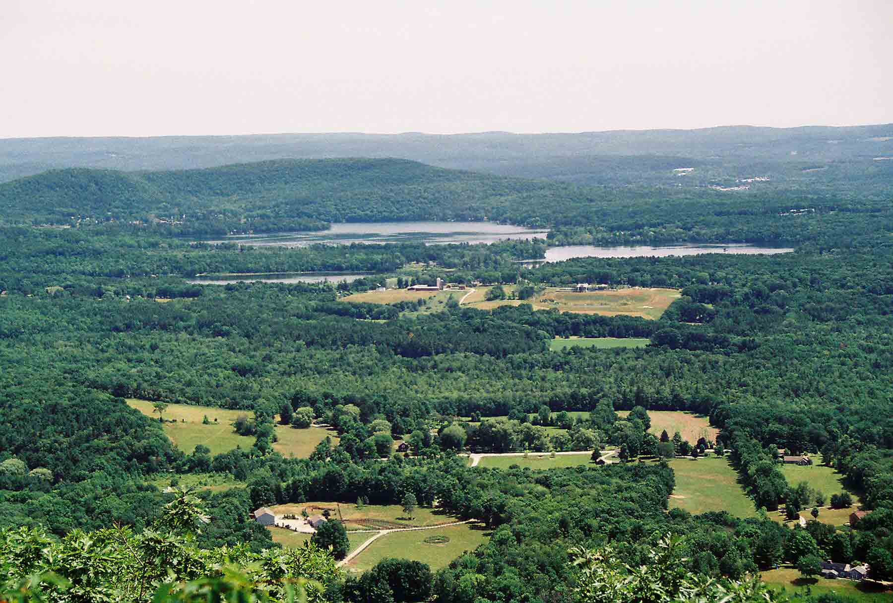
mm 4.7 - View east from ledge on main Lions Head summit. The two lakes visible are Twin Lakes in Salisbury.
Submitted by dlcul @ conncoll.edu
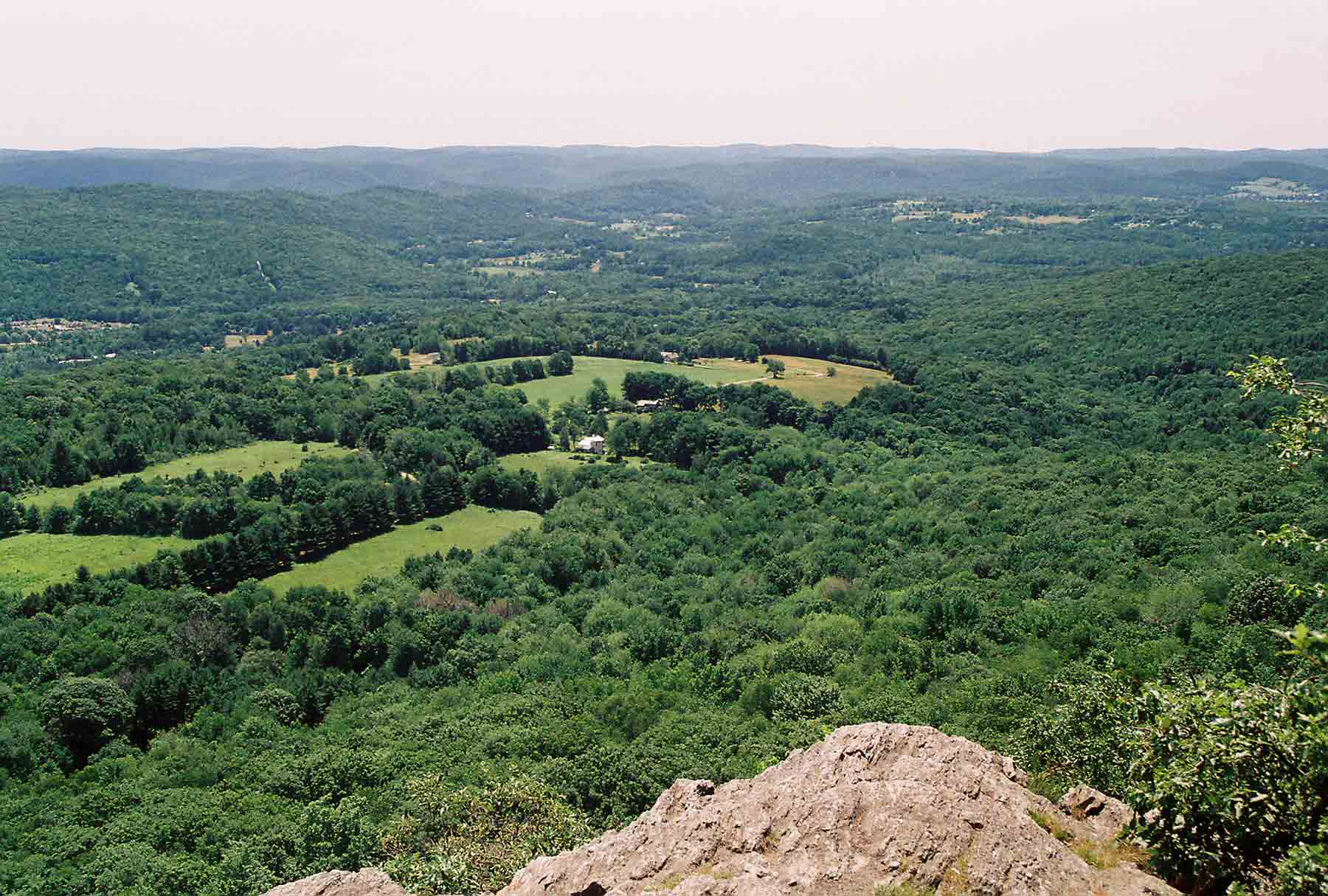
mm 4.7 - View to southeast from ledge on main Lions Head summit. The southbound AT crosses the valley and ascends the nearest ridge on the far left of the pictue.
Submitted by dlcul @ conncoll.edu
 .
.
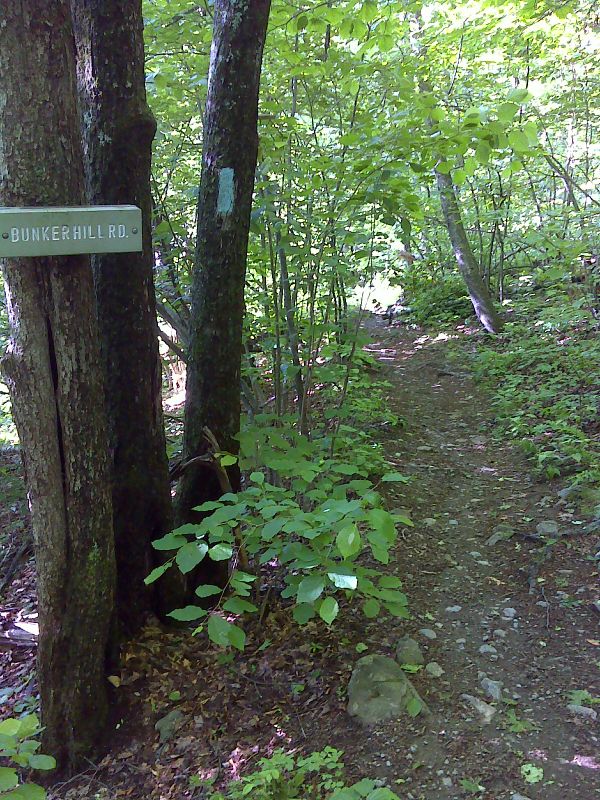
mm 4.9 Lions Head Trail, This leads to Bunker Hill Road and a parking area, GPS N42.0044 W73.4461
Submitted by pjwetzel @ gmail.com
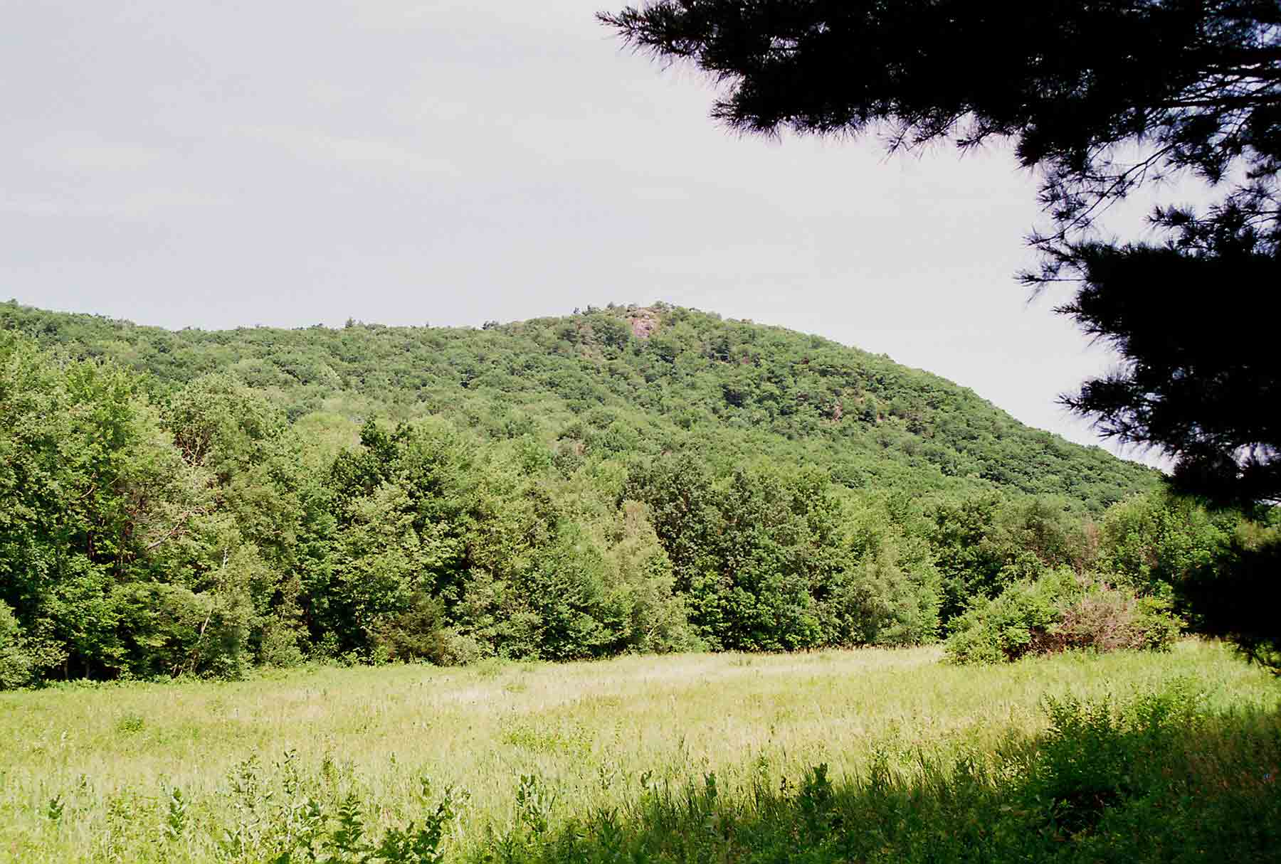
View back towards Lions head from near the trail head of the blue-blazed Lions Head Trail (former AT route). The previous two pictures were taken from the ledge visible near the top. The Lion's Head Trail meets the AT at MM 4.9.
Submitted by dlcul @ conncoll.edu
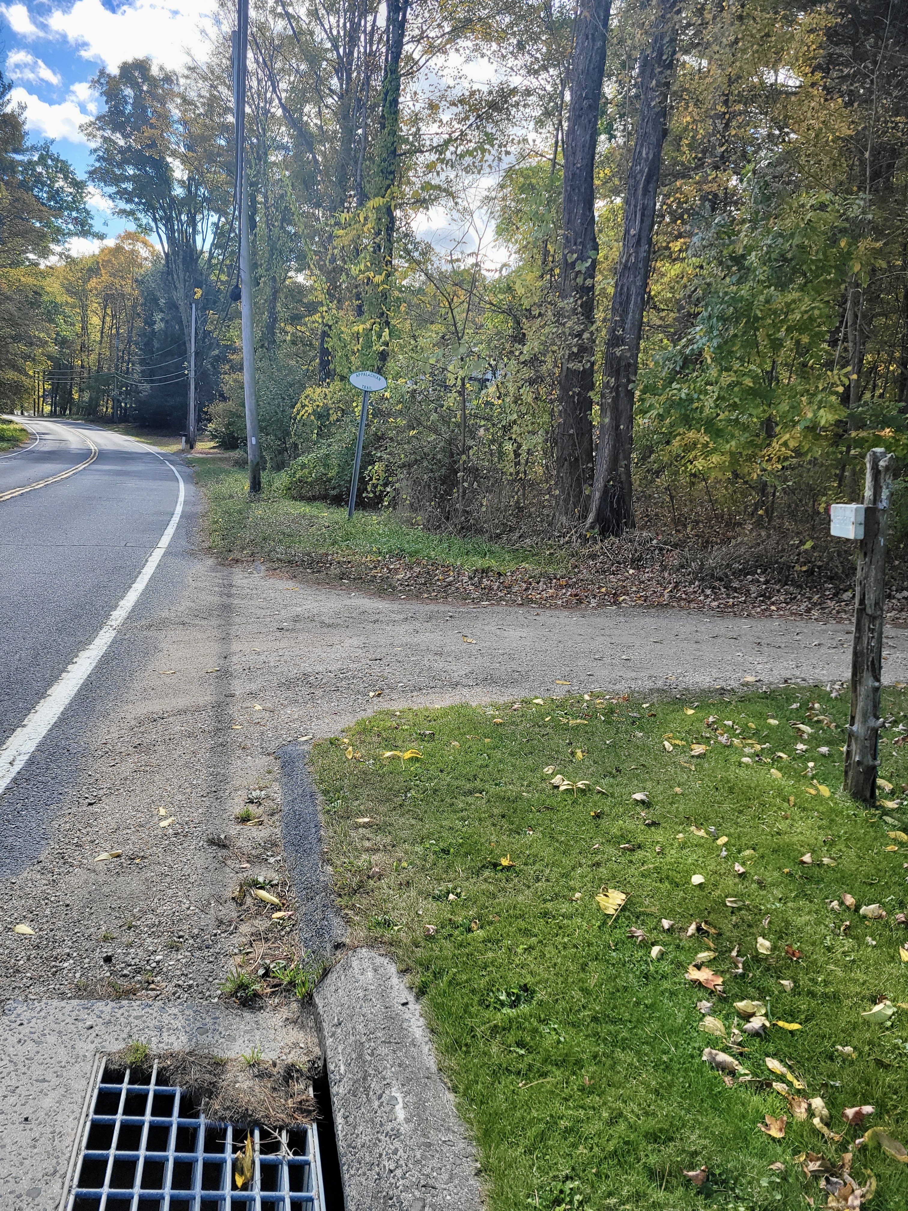
mm 7.4 The entrance to the parking area at which the A.T. crosses State Highway 41.
Submitted by cabincellars@yahoo.com
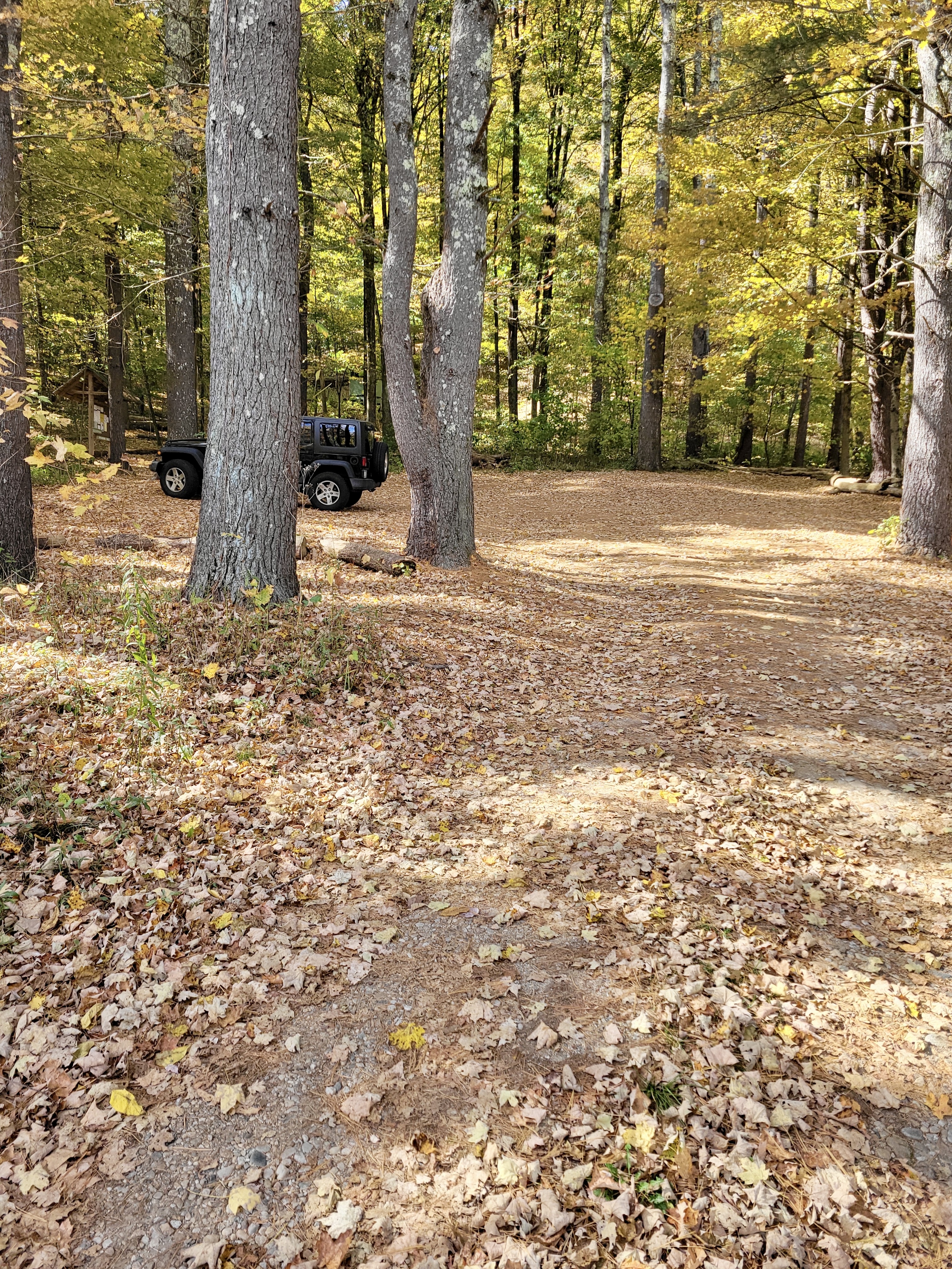
mm 7.4 Highway 41 Parking Area. Northbound AT goes along the edge of the parking lot (zoom in to left side of photo to see trail kiosk in front of Jeep).
Submitted by cabincellars@yahoo.com