CT Section 2 Pictures - Milemarker 0.0 - 3.2
CT 41 - Billy's View
Move your mouse across the pictures for more information.
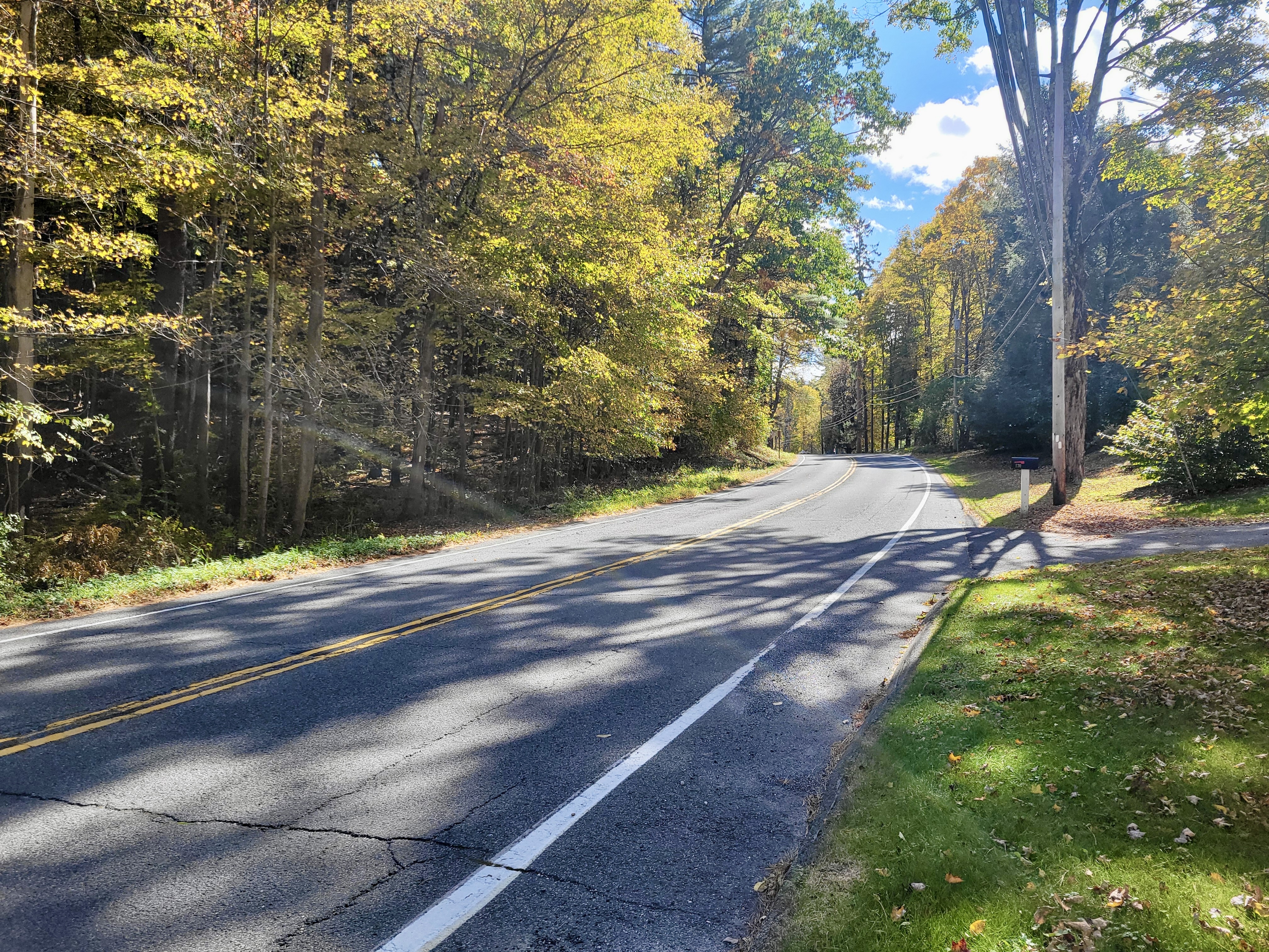
mm 0.0 Short road walk on CT 41. Zoom in to right side of photo to see double white blazes where Southbound AT makes sharp left turn, crosses CT 41, and enters woods (Zoom in to the left side of photo to see woods entrance)
Submitted by cabincellars@yahoo.com
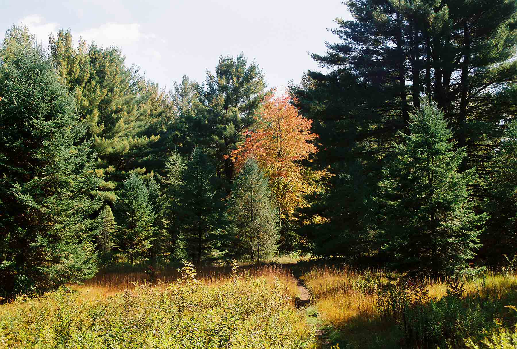
AT as it passes through the woods on the northern outskirts of Salisbury (approximately mile 0.2)
Submitted by dlcul @ conncoll.edu
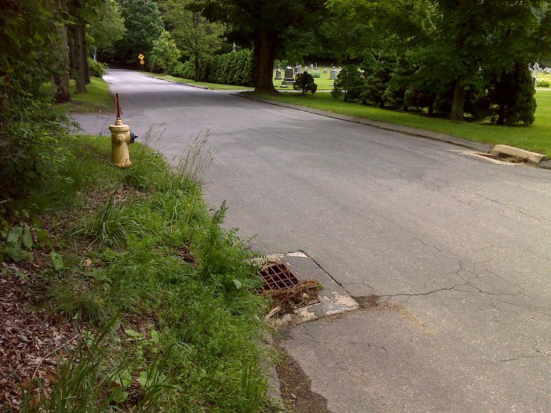
Between mm 0.4 and 0.6 the trail follows Lower Cobble Road at one point passing this cemetery. GPS 41.9903 W 73.4217
Submitted by pjwetzel @ gmail.com
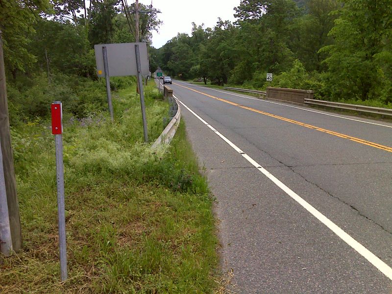
mm 0.6 Intersection of US 44 and Lower Cobble Road. The southbound trail turns off Lower Cobble Road and follows US 44. GPS 41.9892 W 73.4175
Submitted by pjwetzel @ gmail.com
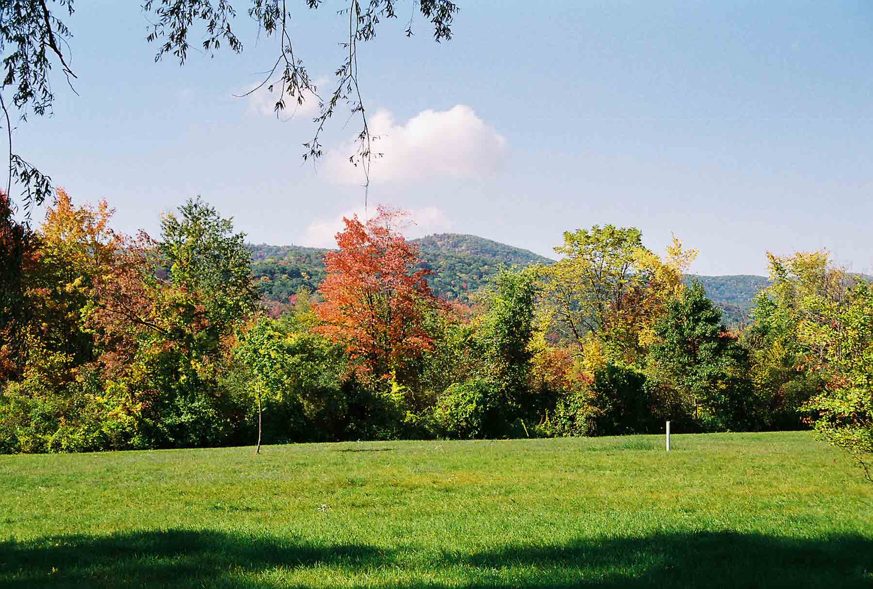
View of Lions Head from just north of Salisbury Taken at approx. MM 0.8
Submitted by dlcul @ conncoll.edu
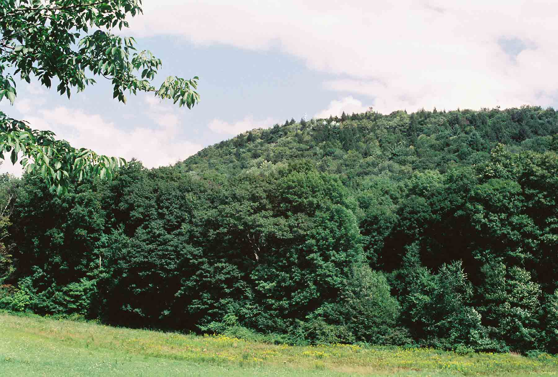
mm 1.0 - View of Barrack Matiff (spelling correct) from the field just south of where the southbound trail leaves US 44 near Salisbury. The trail climbs this hill.
Submitted by dlcul @ conncoll.edu
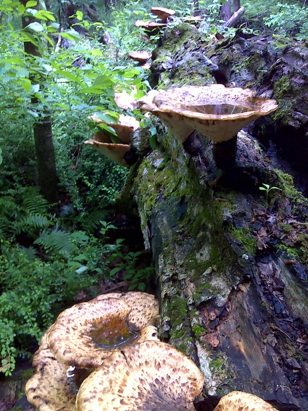
Big fungi that collect rainwater. GPS 41.9788 W 73.4048
Submitted by pjwetzel @ gmail.com
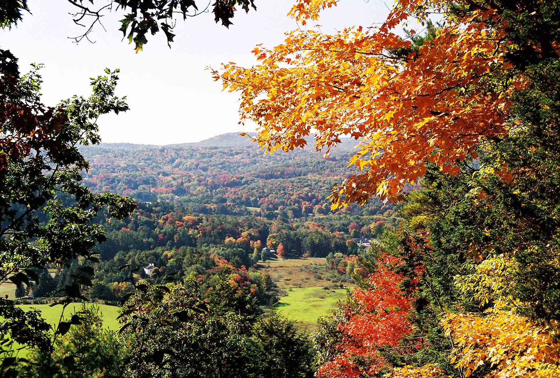
Looking west from Billy's View (Mile 3.2) in the fall
Submitted by dlcul @ conncoll.edu