CT Section 2 Pictures - Milemarker 3.2 - 4.1
Giant's Thumb - Limestone Springs Shelter
Move your mouse across the pictures for more information.
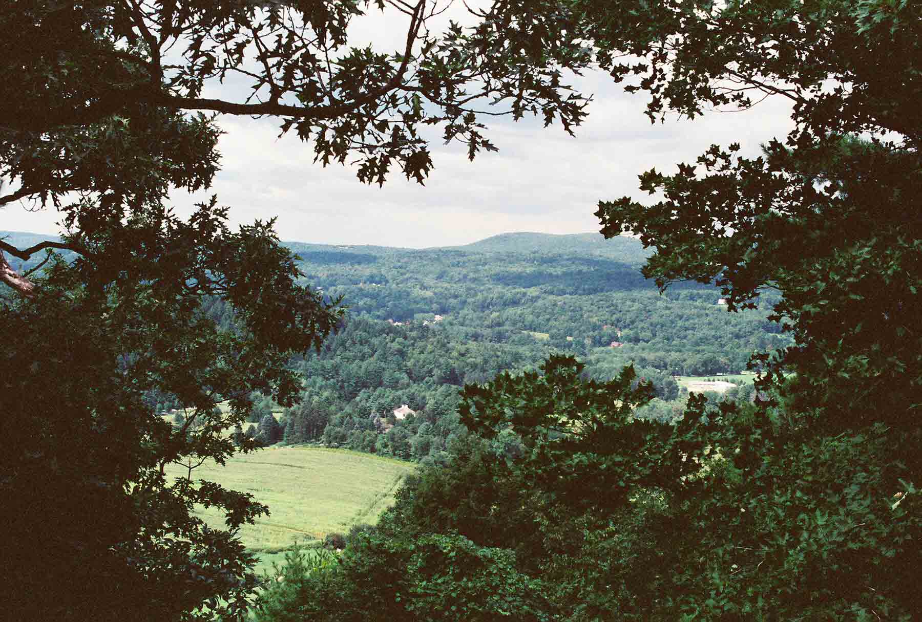
mm 3.2 - The summertime view from Billy's View
Submitted by dlcul @ conncoll.edu
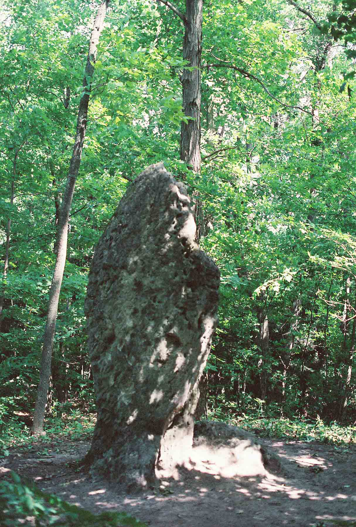
The Giant's Thumb (mile 3.6)
Submitted by dlcul @ conncoll.edu
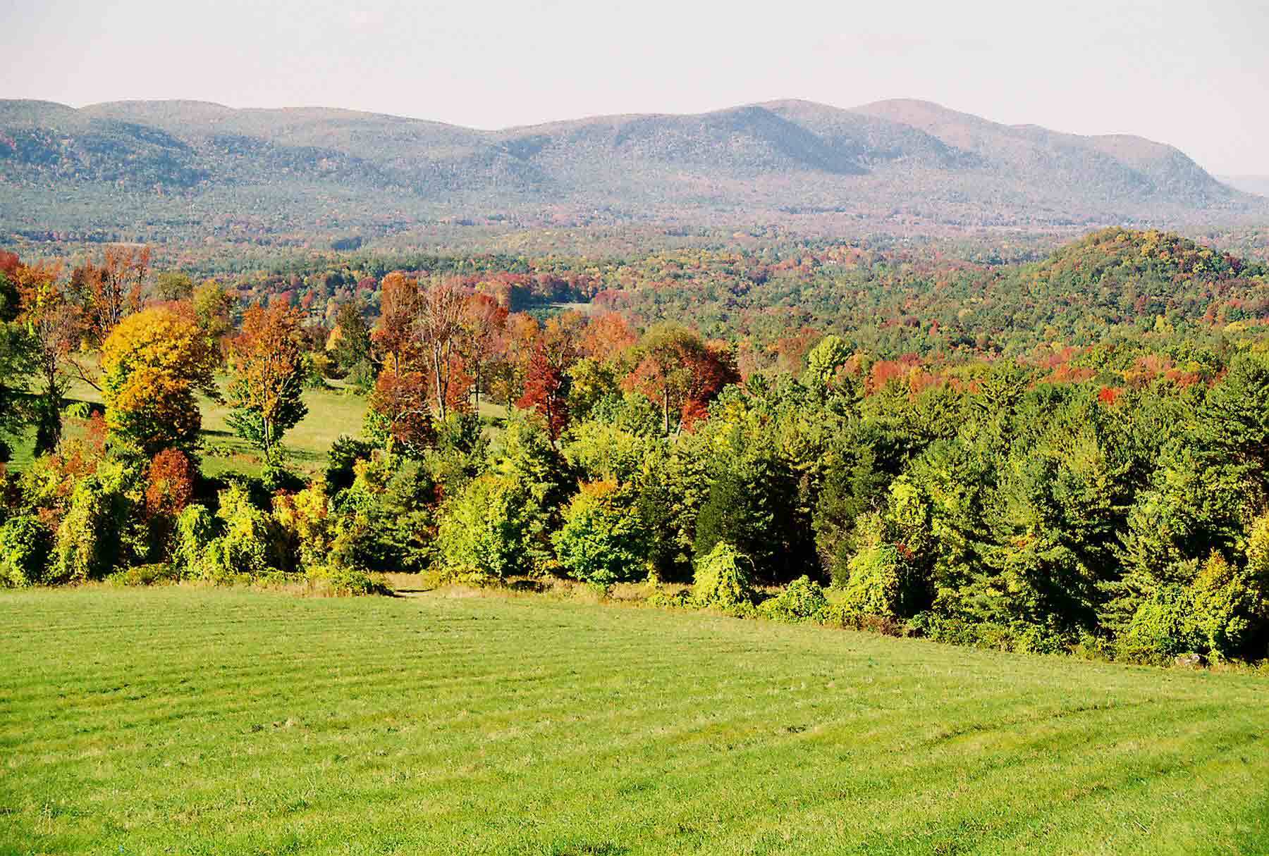
mm 4.0 - Rands View, considered by many the best viewpoint on the AT in CT. The northbound trail goes along the ridge of mountains (part of the Taconics) in the distance. The highest peakis Mt. Everett in MA. The second highest is Bear Mt., the highest peak (but not highest point) in CT. On a clear day Mt. Greylock in northern Massachusetts can be seen.
Submitted by dlcul @ conncoll.edu
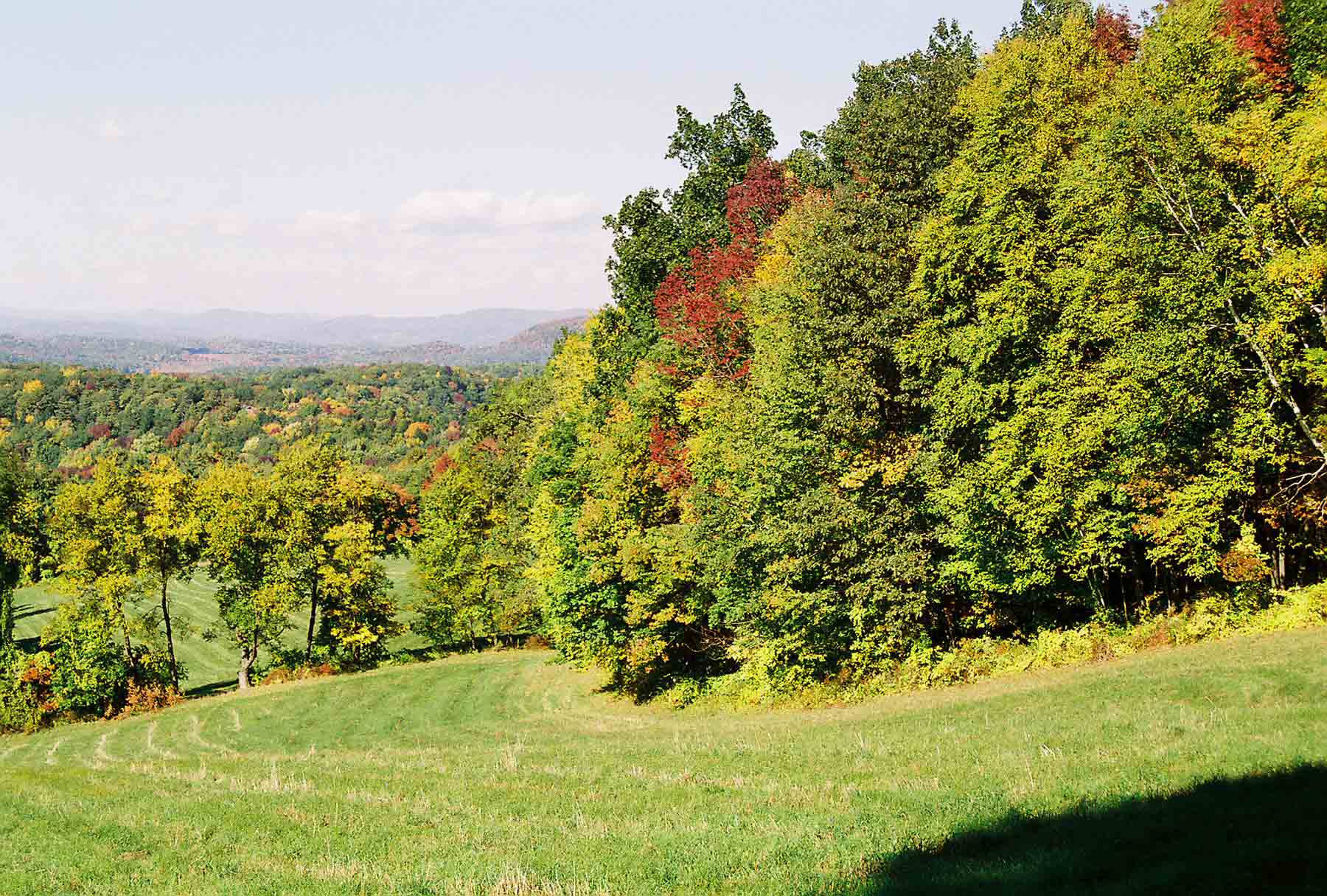
mm 4.0 - View to the northeast from Rand's View
Submitted by dlcul @ conncoll.edu
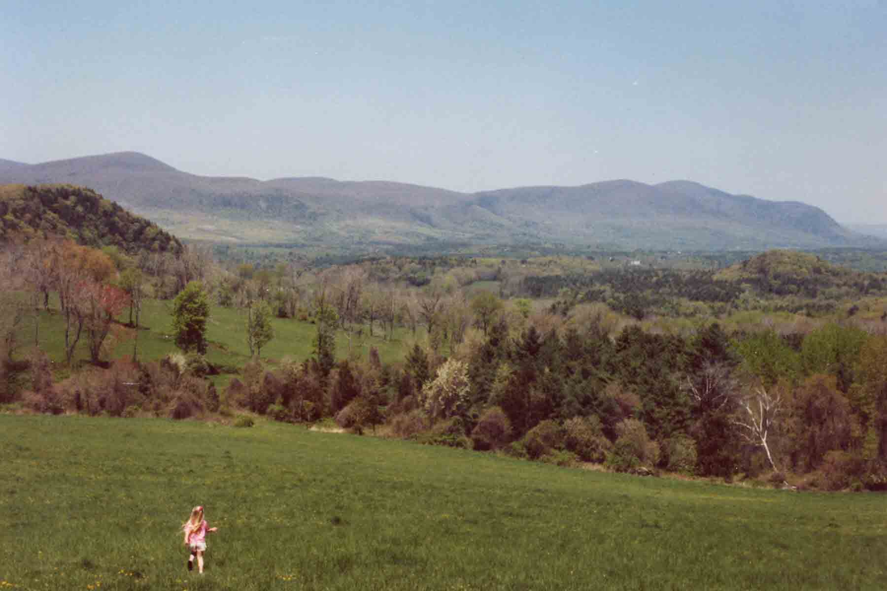
mm 4.0 - Springtime at Rand's View
Submitted by dlcul @ conncoll.edu
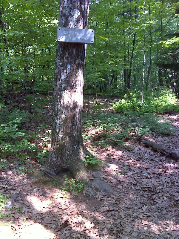
mm 4.1 Side trail to Limestone Springs Shelter. Part of the 0.5 mile long trail involves a steep descent to the shelter. The trail continues to Sugar Hill Road. GPS 41.9807 W 73.3928
Submitted by pjwetzel @ gmail.com
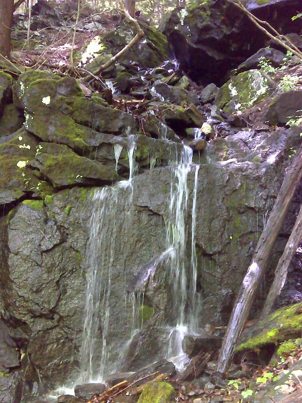
mm 4.1 The blue-blazed trail to Limestone Springs Shelter descends past this small waterfall. GPS 41.9769 W 73.3915
Submitted by pjwetzel @ gmail.com
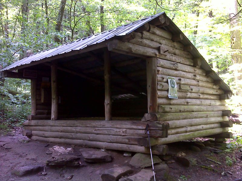
mm 4.1 Limestone Springs Shelter. GPS 41.9754 W 73.3923
Submitted by pjwetzel @ gmail.com