CT Section 2 Pictures - Milemarker 4.8 - 8.2
Prospect Mt. - Iron Bridge
Move your mouse across the pictures for more information.
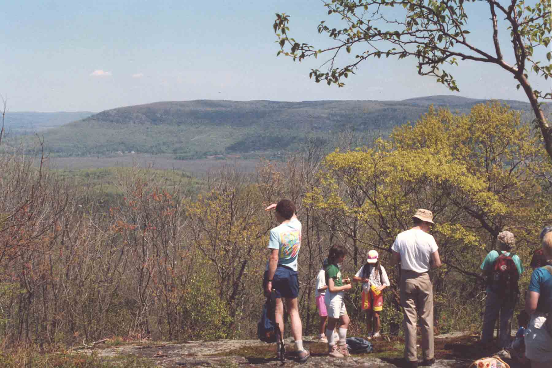
mm 4.8 - View east from the summit of Prospect Mountain
Submitted by dlcul @ conncoll.edu
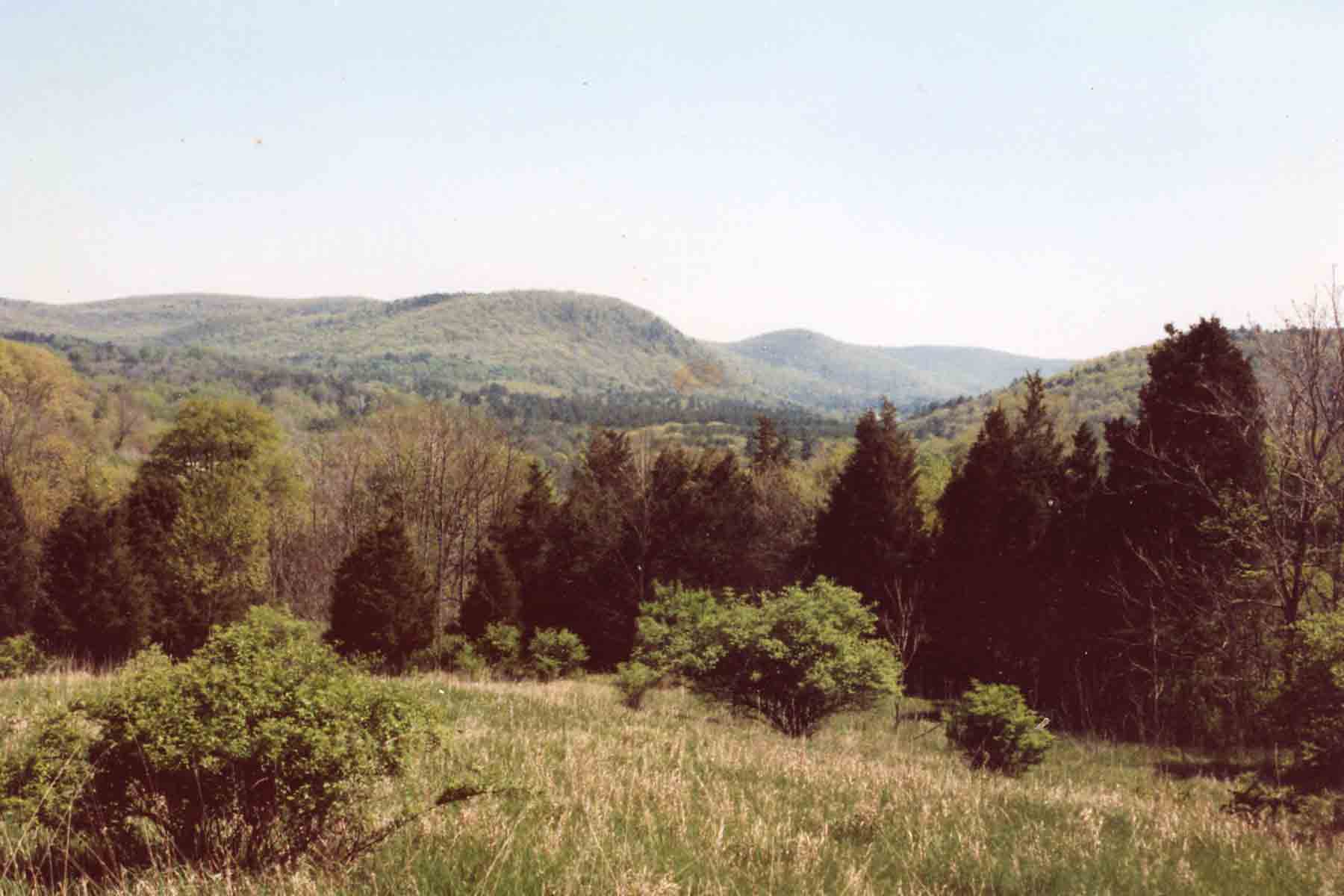
View to south as the southbound trail descends towards the Great Falls and the community of Falls Village.
Submitted by dlcul @ conncoll.edu
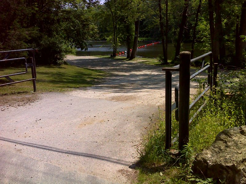
mm 7.6 Day use parking at Great Falls. GPS N41.9636 W73.3726
Submitted by pjwetzel @ gmail.com
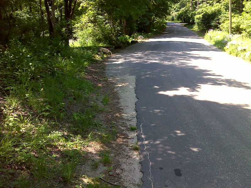
mm 7.6 Roadside parking at Great Falls. GPS N41.9634 W73.3728
Submitted by pjwetzel @ gmail.com
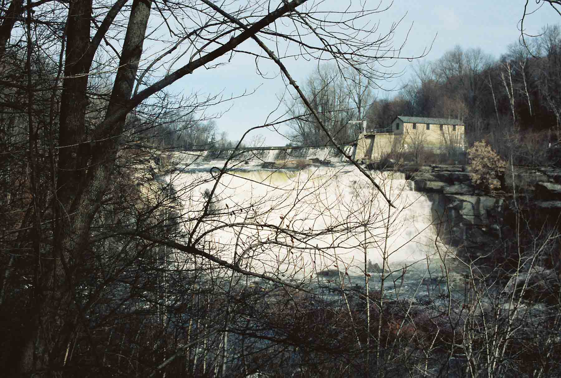
mm 7.7 - The Great Falls of the Housatonic. There is a hydroelectric dam upstream. In the summer the falls may be dry as water is diverted.
Submitted by dlcul @ conncoll.edu
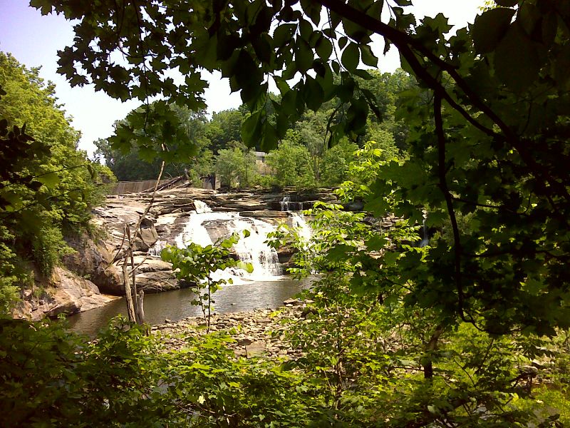
Late spring view of Great Falls. Taken at approx. mm 7.7. GPS N41.9622 W73.3736
Submitted by pjwetzel @ gmail.com
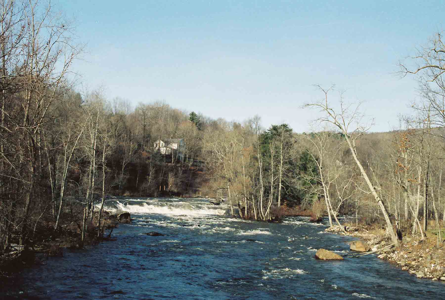
mm 8.2 - The Housatonic River near the Great Falls. Picture taken from the Iron Bridge
Submitted by dlcul @ conncoll.edu
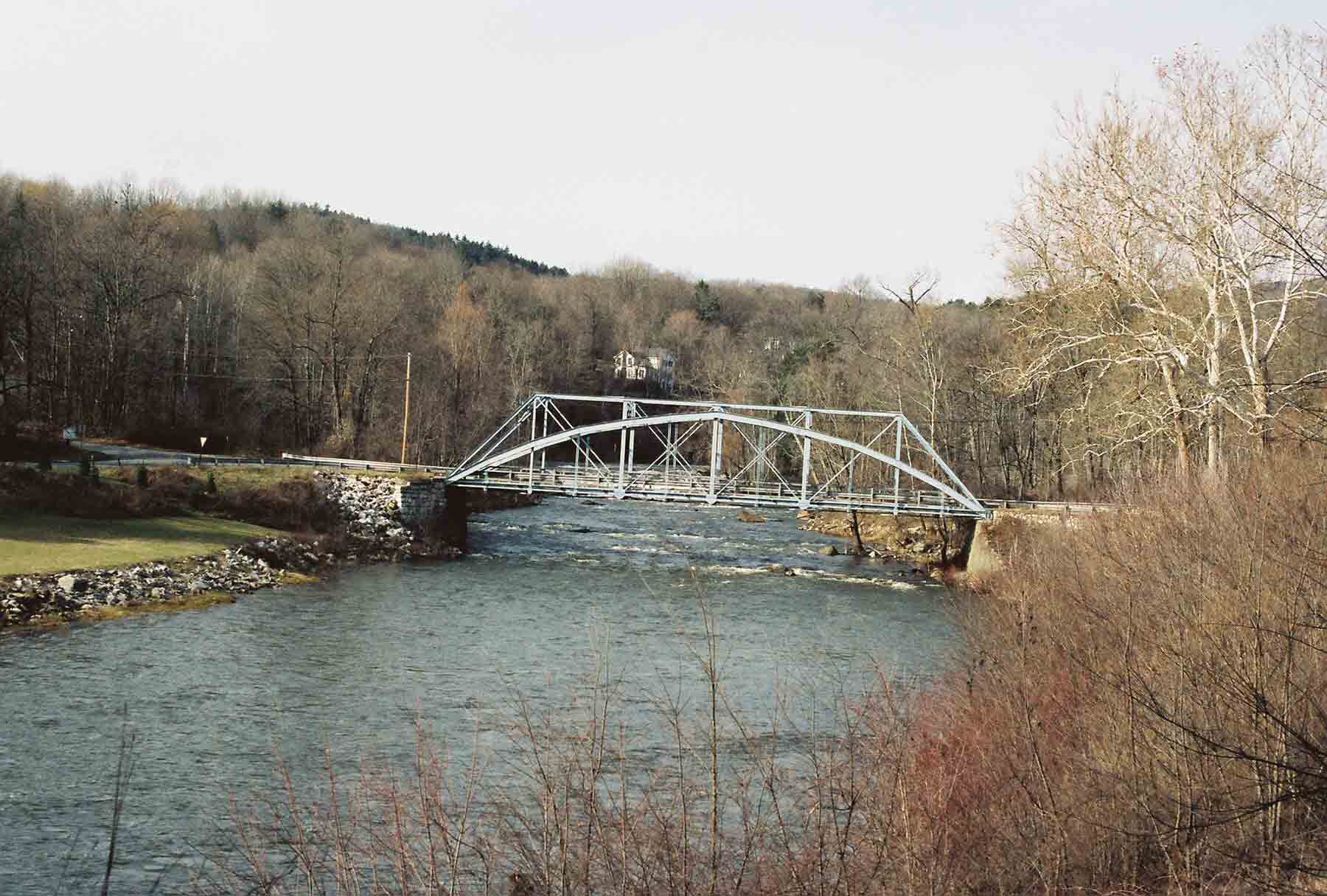
The Iron Bridge near Falls Village. The trail crosses the Housatonic River on this bridge. A corner of the boat launch area where there is ample parking can be seen on the left (west) bank. There is ample parking there. The bridge is at MM 8.2. Update: The bridge is currently (May 2012) closed to vehicle traffic, but still can be used by hikers.
Submitted by dlcul @ conncoll.edu