CT Section 2 Pictures - Milemarker 8.3 - 10.5
Parking for Accessible Trail - Cornfield
Move your mouse across the pictures for more information.
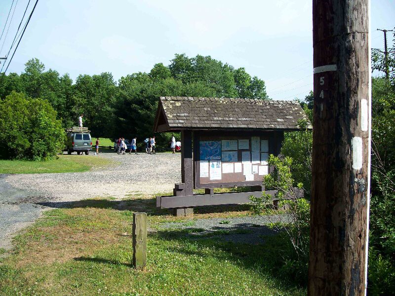
mm 8.3 - Big parking lot. Over night parking is allowed. In Falls Village from Route 7 (South Canaan Rd) take Highway 126 (Main Street) .5 miles west to Point of Rock Rd. Turn left onto Point of Rock Rd and go about 500 feet to Water Street. Turn right onto Water Street and go under the rail road bridge, after which you bear right going down Water Street. The parking lot is about .2 miles down Water Street on the left side as you drive North West. The parking lot is before the hydroelectric plant.
Submitted by froto
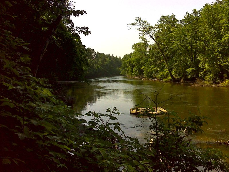
Housatonic River from near south end of accessible trail section. GPS N41.9484 W73.3667
Submitted by pjwetzel @ gmail.com
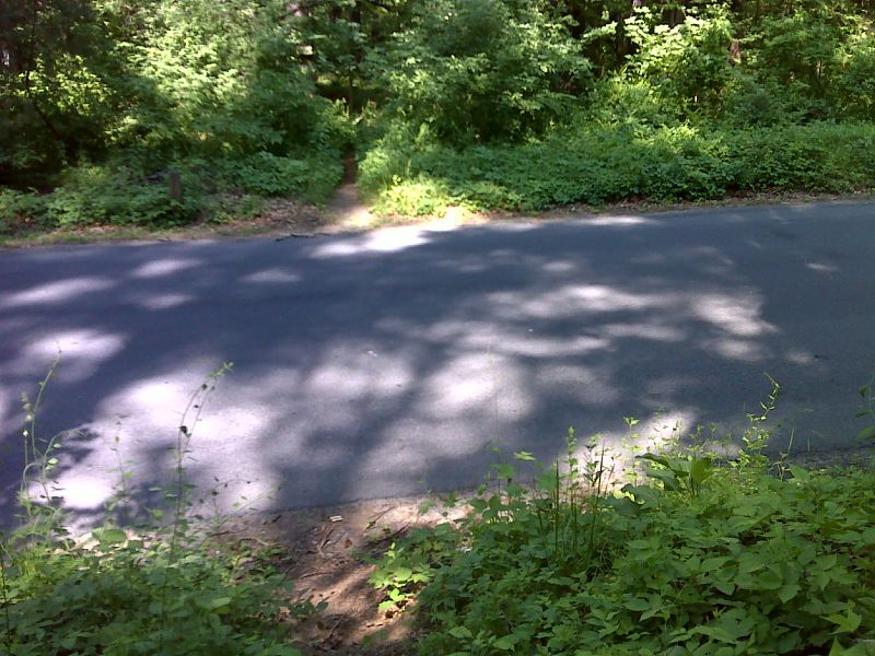
mm 9.3 Trail crosses Warren turnpike. GPS N41.9471 W73.3634
Submitted by pjwetzel @ gmail.com
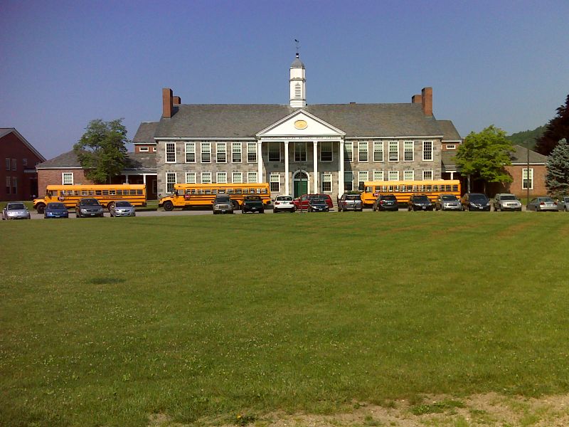
mm 10.1 Housatonic Valley Regional High School on Warren Turnpike. In this area the trail is following the road. GPS N41.9373 W73.3613
Submitted by pjwetzel @ gmail.com
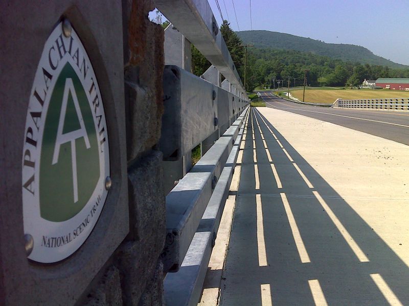
mm 10.2 The trail crosses the Housatonic River on the newly reconstructed US 44 bridge. Note the wide pedestrian walkway. This view is to the west. Taken in May 2012. GPS N41.9347 W73.3614
Submitted by pjwetzel @ gmail.com
mm 10.4 Parking area off US 7 on the west side of the Housatonic River. Normally the northbound trail follows the highway across the river. When this picture was taken (Oct. 2009), the bridge ws under construction and there was a detour. The southbound trail goes south through a strip of woods, circles around a cornfield and returns to and crosses US 7 at mm 10.8. This is the south end of Section 2 and north end of Section 3. Walking along the highway here is actually far shorter.
Submitted by dlcul @ conncoll.edu
mm 10.4 View across the cornfield from just south of the parking area. The mountain in the picture is Barrack Mt.
Submitted by dlcul @ conncoll.edu
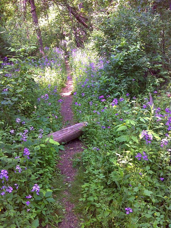
Wild phlox along trail between the cornfield and the Houatonic River. Taken at approx. mm 10.5. GPS N41.9331 W73.3621
Submitted by pjwetzel @ gmail.com