CT Section 2 Pictures - Milemarker 10.6 - 10.8
Cornfield - US 7/ CT112
Move your mouse across the pictures for more information.

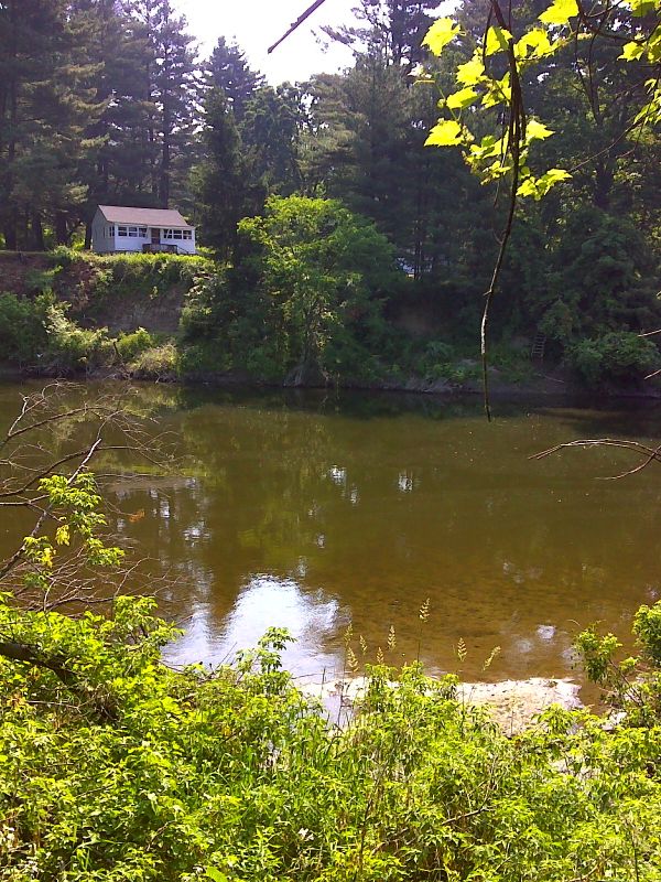
Houstonic River from the east side of the cornfield. Taken at approx. mm 10.6. GPS N41.9324 W73.3616
Submitted by pjwetzel @ gmail.com

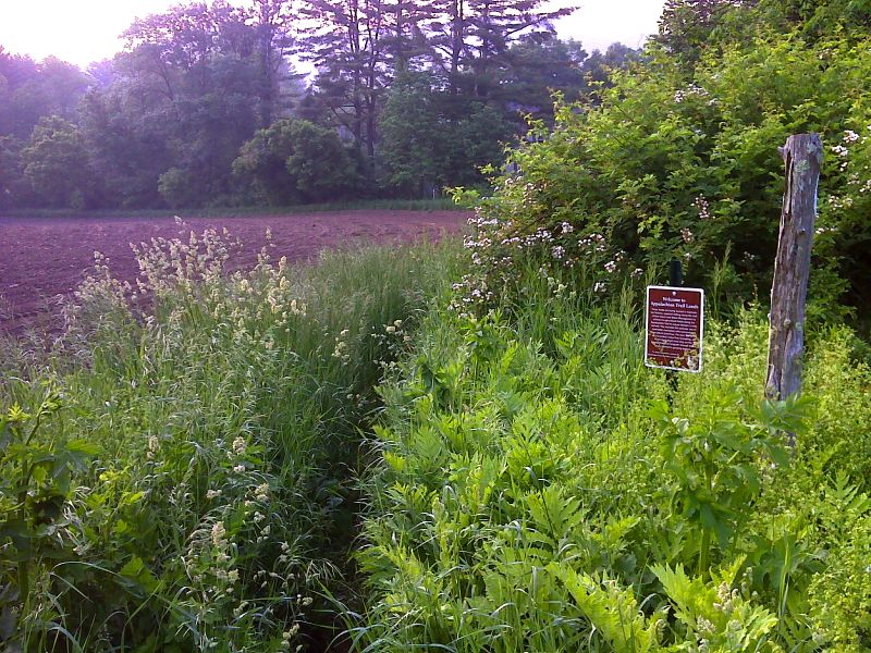
mm 10.8 Looking northbound from the crossing of US 44 just south of the CT 112 intersection. The trail make a horse-shoe-shaped circuit around a cornfield then rejoins US 44 at a parking area (mm 10.3) to cross the Housatonic River. GPS N41.9306 W73.3635.
Submitted by pjwetzel @ gmail.com