CT Section 3 Pictures - Milemarker 0.0 - 2.4
CT 112 and US 7 - Hang Glider View
Move your mouse across the pictures for more information.
mm 0.0 Parking at the intersection of CT 112 and US 7. The point where the AT crosses US 7 (the dividing line between CT Section 2 and 3) is a short distance south of this point. Alternatively the AT can also be reached by walking north on US 7 about 0.1 miles to the parking area where the northbound trail comes out of the woods and uses US 7 to cross the Housatonic River.
Submitted by dlcul @ conncoll.edu
0.0 View to east towards Barrack Mt. just as the northbound AT reaches US 7
Submitted by dlcul @ conncoll.edu
View in the woods shortly before the northbound. AT reaches US 7. Taken at approx. mm 0.1
Submitted by dlcul @ conncoll.edu
mm 0.3 Belters Bump
Submitted by dlcul @ conncoll.edu
mm 0.3 View from Belters Bump
Submitted by dlcul @ conncoll.edu

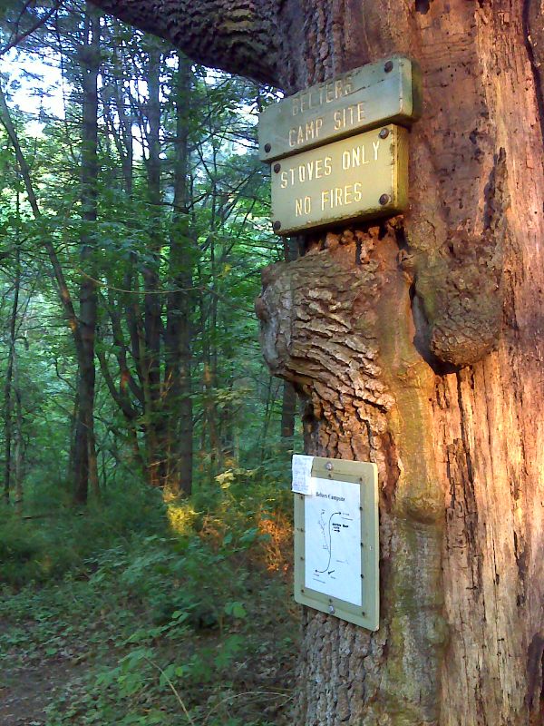
mm 0.4 Side trail to Belters Campsite. GPS N41.9263 W73.3630
Submitted by pjwetzel @ gmail.com

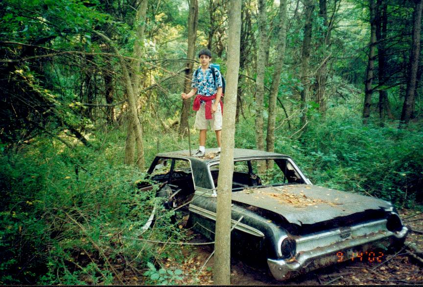
mm 0.4 - Picture from Belter Campground just south of route 112/7 taken in Oct 2002
Submitted by rging@charter.net

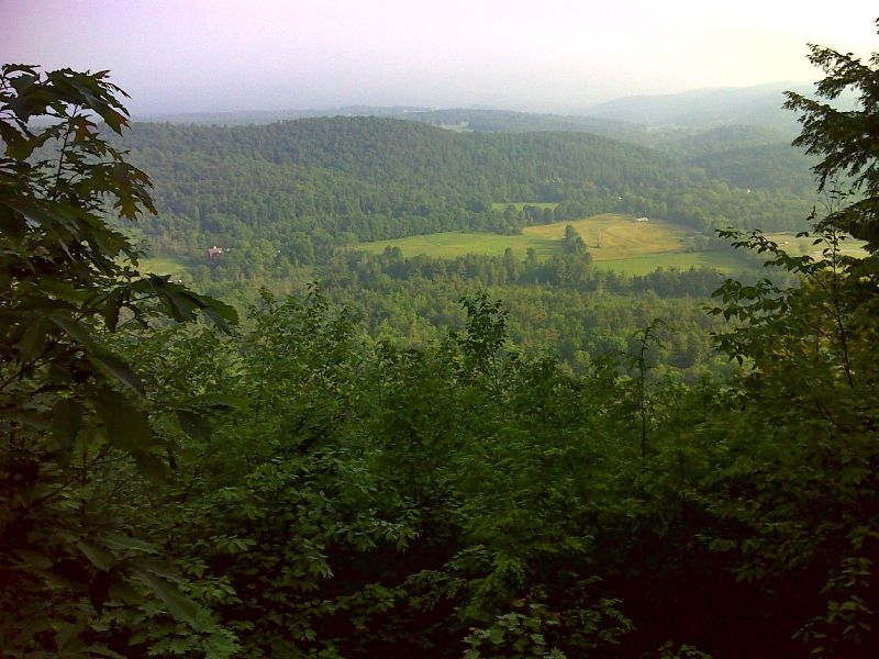
mm 2.4 Hang Glider View on an unfortunately hazy day. GPS N41.9176 W73.3660
Submitted by pjwetzel @ gmail.com