CT Section 3 Pictures - Milemarker 3.2 - 6.1
Sharon Mountain Campsite - Roger's Ramp
Move your mouse across the pictures for more information.
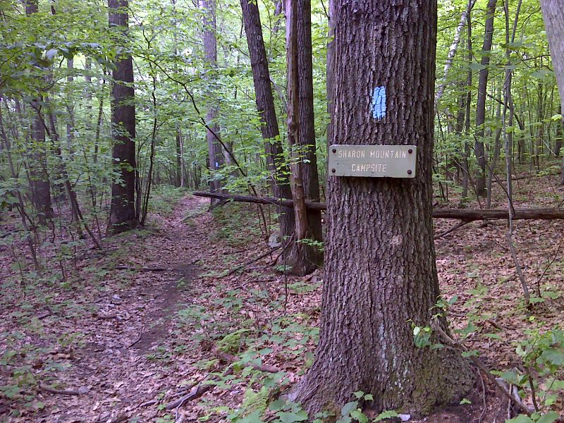
mm 3.2 Junction with side trail to Sharon Mountain Campsite. GPS N41.9098 W73.3941
Submitted by pjwetzel @ gmail.com
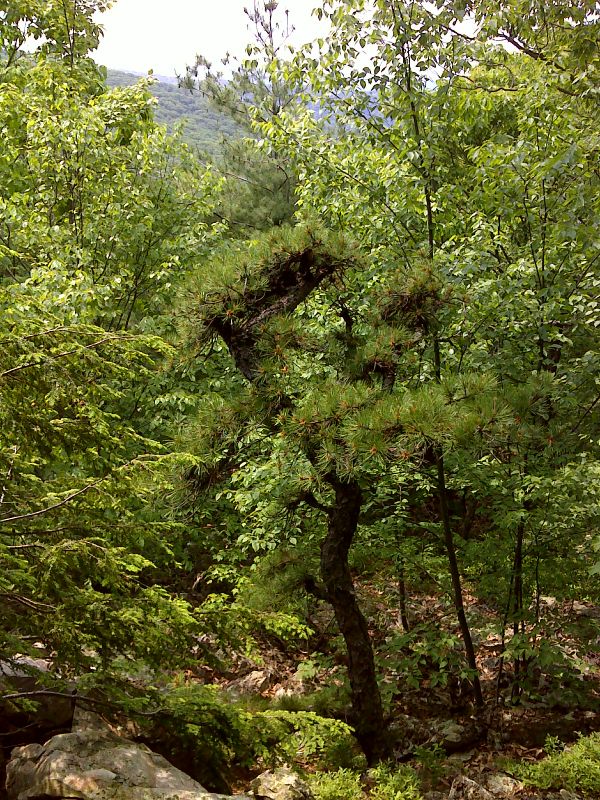
mm 4.4 Summit of Mt. Easter. There was formerly a nice view here but now (2012) the view is very limited. GPS N41.8963 W73.4030
Submitted by pjwetzel @ gmail.com
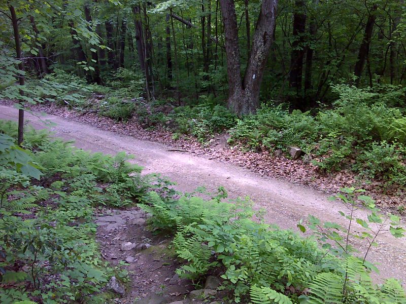
mm 4.7 The trail crosses Sharon Mountain Road. GPS N41.8923 W 73.4016
Submitted by pjwetzel @ gmail.com
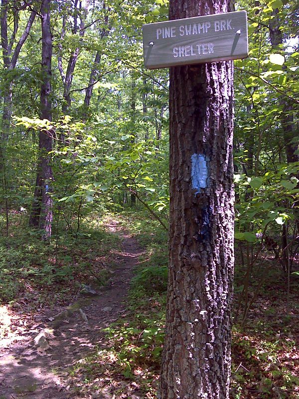
mm 5.6 Side trail to Pine Swamp Brook Shelter. GPS 44.8815 W73.3927
Submitted by pjwetzel @ gmail.com
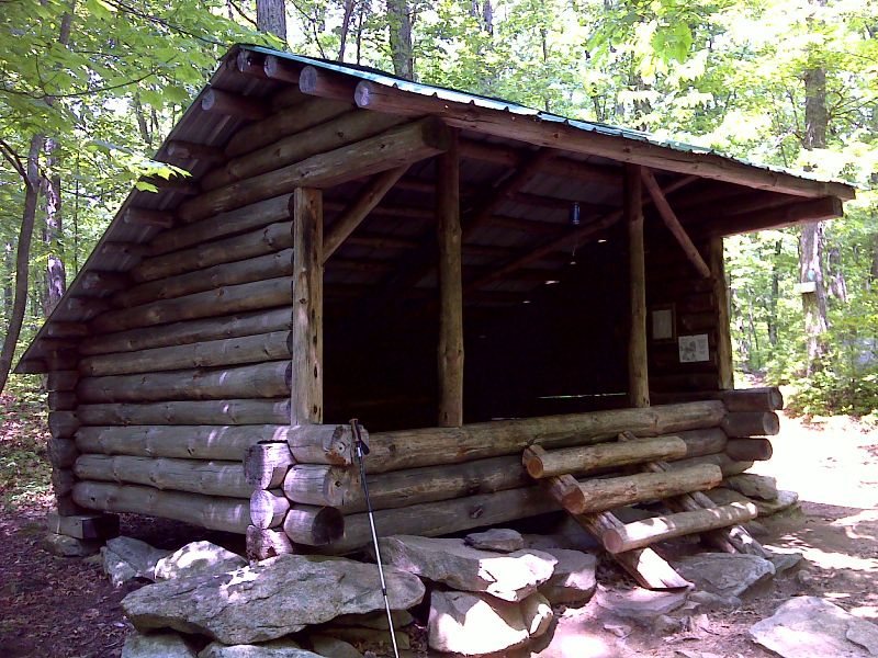
mm 5.6 Pine Swamp Brook Shelter. GPS N41.8816 W 73.3917
Submitted by pjwetzel @ gmail.com
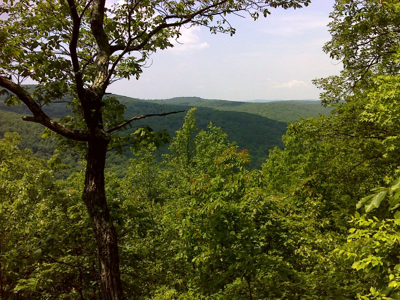
mm 6.1 Limited view from summit above Rogers Ramp. GPS N41.8745 W 73.3873
Submitted by pjwetzel @ gmail.com
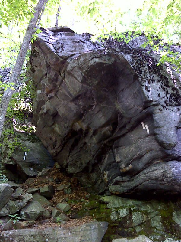
mm 6.1 Huge boulder overhanging trail approaching Rogers Ramp. GPS 44.8731 W73.3868
Submitted by pjwetzel @ gmail.com
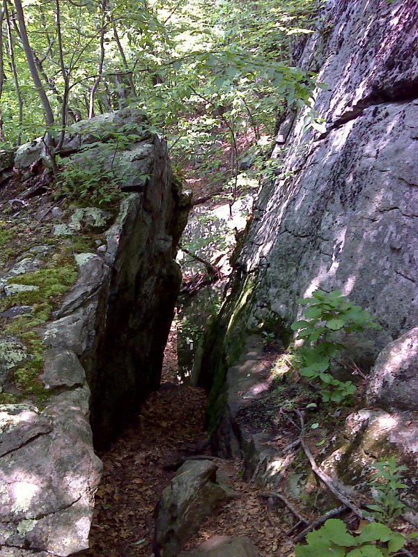
mm 6.1 Rogers Ramp. Steeper than it looks. GPS 44.8731 W73.3865
Submitted by pjwetzel @ gmail.com