CT Section 3 Pictures - Milemarker 6.7 - 9.8
West Cornwall Road - Pine Knob
Move your mouse across the pictures for more information.
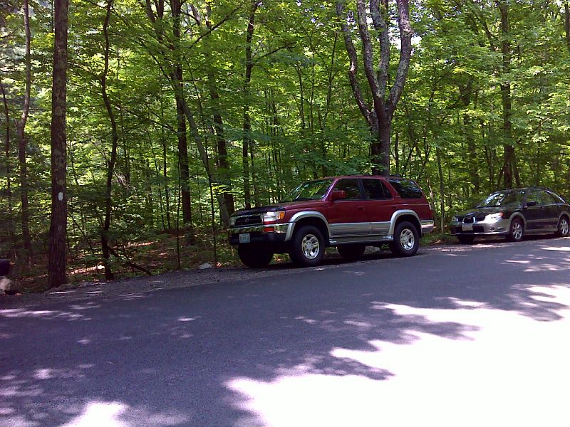
mm 6.7 Shoulder parking on West Cornwall Road. GPS 41.8735 W73.3911
Submitted by pjwetzel @ gmail.com
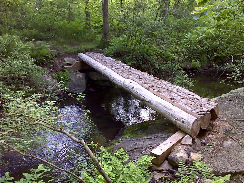
mm 6.8 Brand new footbridge (2012) across Carse Brook. GPS 41.8724 W73.3920
Submitted by pjwetzel @ gmail.com
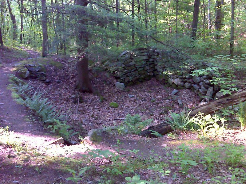
mm 9.0 Old stone foundation beside Caesar Brook. GPS 41.8486 W73.3829
Submitted by pjwetzel @ gmail.com
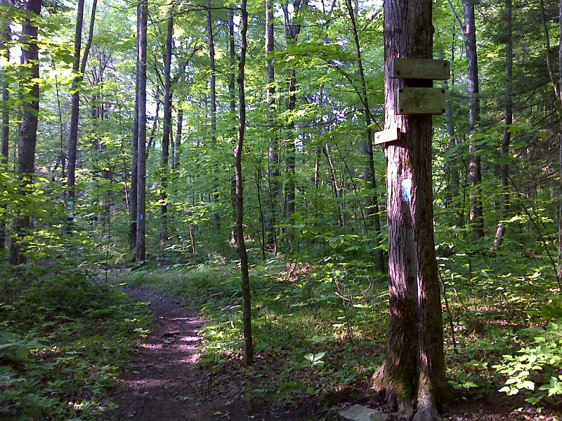
mm 9.0 Side trail to Caesar Brook campsite. GPS 41.8483 W73.3833
Submitted by pjwetzel @ gmail.com
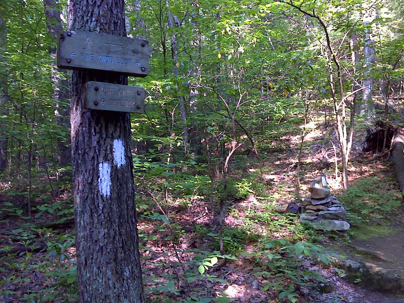
mm 9.4 North Junction with the Pine Knob Loop Trail. For the next 0.6 miles south the trail has both the white blazes of the AT and the blue blazes of the loop trail. GPS N41.8449 W73.3849
Submitted by pjwetzel @ gmail.com
View of Housatonic River valley. This was taken from a viewpoint on the northern arm of the Pine Knob Loop about 0.1-0.2 miles from the AT. The junction of the AT with the this arm of the Pine Loop Trail is at Mile 9.4.
Submitted by dlcul @ conncoll.edu
View of Housatonic River valley around Housatonic Meadows State Park. This was taken from the summit of Pine Knob (mm 9.8), on the section of trail shared by the AT and the Pine Knob Loop.
Submitted by dlcul @ conncoll.edu
mm 9.8 - Approaching the summit of Pine Knob from the south
Submitted by dlcul @ conncoll.edu