CT Section 3 Pictures - Milemarker 10.0 - 11.2
South Junction with Pine Knob Loop Trail - Old Sharon Road
Move your mouse across the pictures for more information.

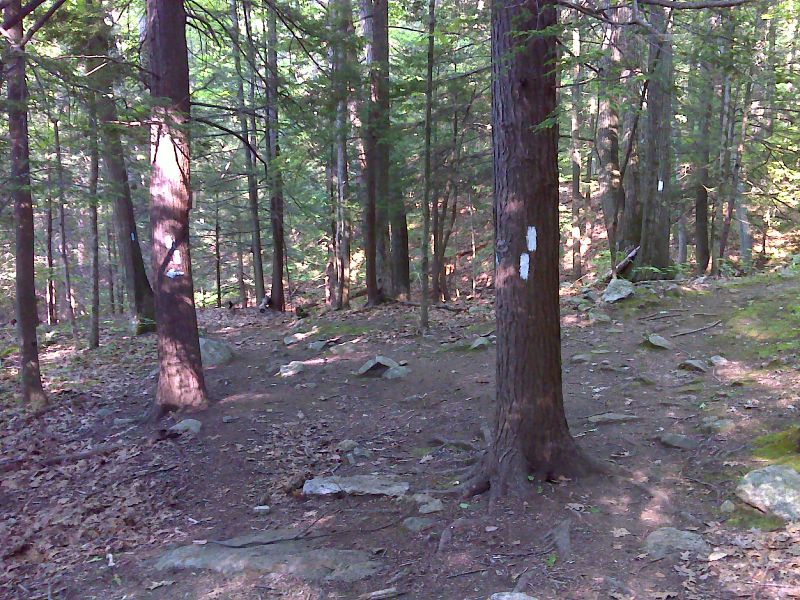
mm 10.0 South junction with the Pine Knob Loop Trail. GPS N41.8394 W73.3907
Submitted by pjwetzel @ gmail.com

The trail follows Hatch Brook passing these cascades. Taken at approx. mm 10.1. GPS N41.8378 W73.3919
Submitted by pjwetzel @ gmail.com

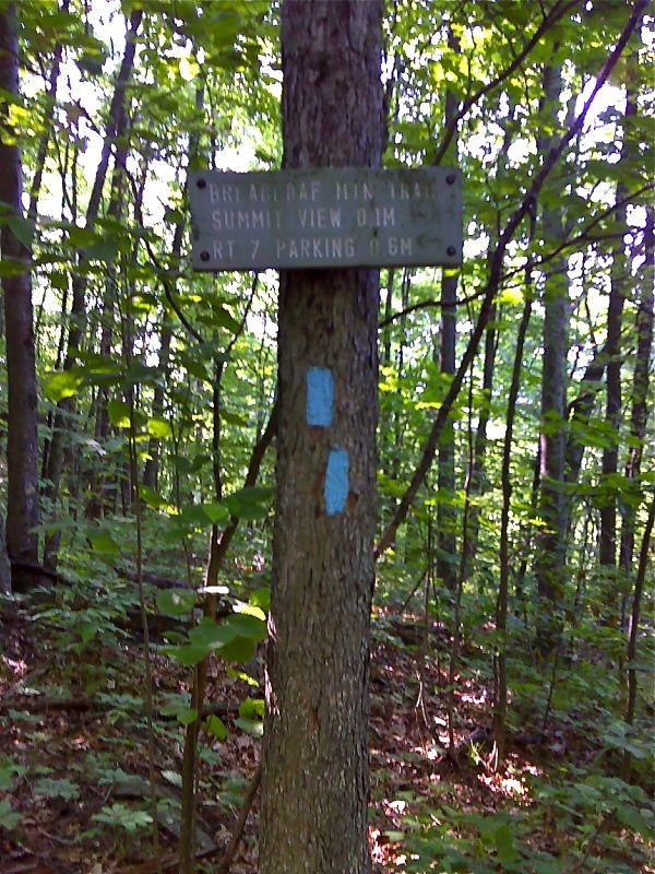
mm 11.2 Junction with the Breadloaf Mountain Trail. This leads 0.7 miles to trailhead parking on US 7. GPS N41.8259 W73.3871
Submitted by pjwetzel @ gmail.com

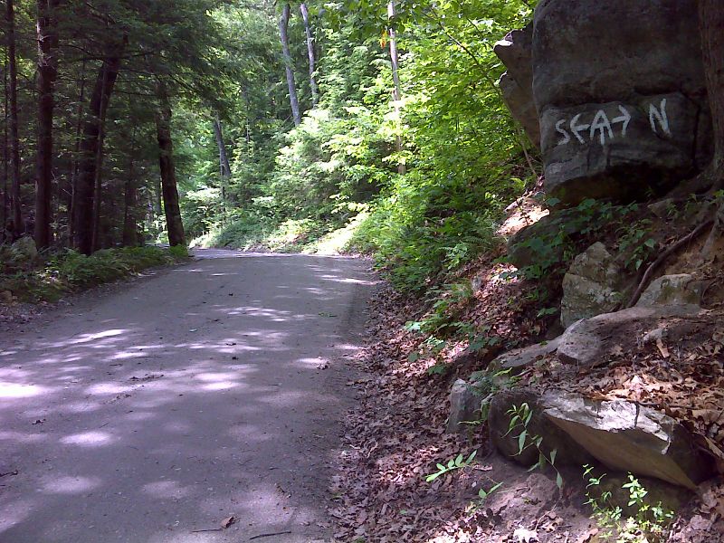
mm 11.3 Trail Crossing of Old Sharon Road. GPS N41.8241 W73.3873
Submitted by pjwetzel @ gmail.com
Parking area on US 7 near the intersection of CT 4 on the west side of the Housatonic River. Overnight Parking is permitted here. This is actually the trail head for the section of the Mohawk Trail that leads over Breadloaf Mountain to the AT. However it is also the best parking for accessing the AT at mm 11.3 (Old Sharon Road) and mm 11.5 (AT crossing of CT 4). These points are 0.5 - 0.7 miles from the parking area.
Submitted by dlcul @ conncoll.edu