CT Section 4 Pictures - Milemarker 0.0 - 2.2
CT 4 - Liner Farm
Move your mouse across the pictures for more information.

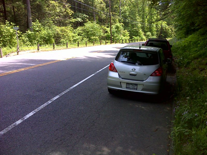
mm 0.0 Shoulder parking at trail crossing of CT 4. GPS N41.8230 W73.3868
Submitted by pjwetzel @ gmail.com

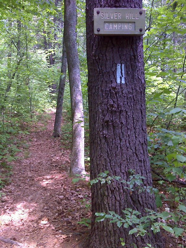
mm 0.9 Side trail to Silver Hill Campsite. GPS N41.8150 W73.3905
Submitted by pjwetzel @ gmail.com
mm 1.7 Parking at Swift Bridge site. This is reached from US 7- CT 4 via River Road. At this point the paved road to the right becomes Dawn Hill Road. The dirt road straight ahead is a continuation of River Road. Via either road, it is 0.1-0.2 miles to the AT.
Submitted by dlcul @ conncoll.edu

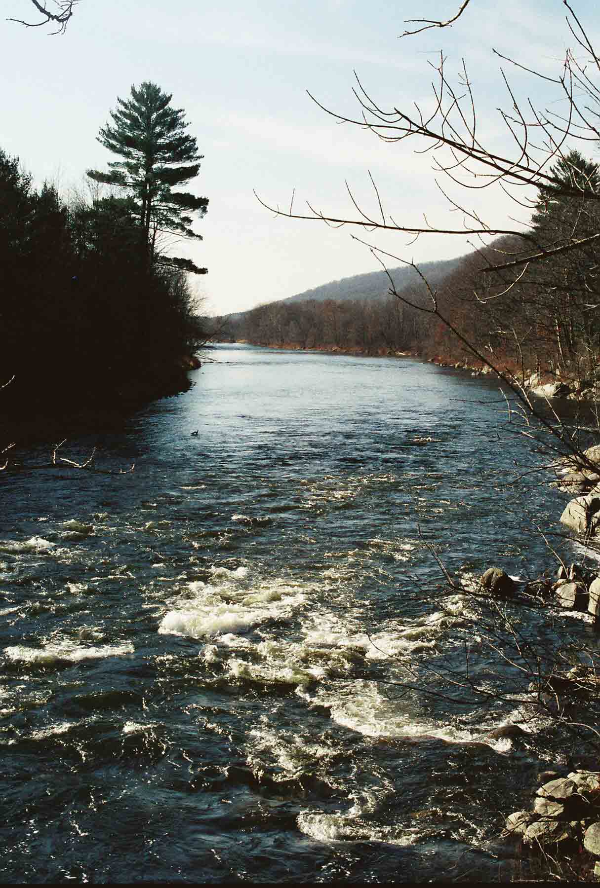
mm 1.7 - Looking south along the Housatonic River at the Swift Bridge site. For almost five files to the south the trail follows the west bank of the river closely, mostly along an old road, most of which has long been closed to traffic.
Submitted by dlcul @ conncoll.edu
mm 1.7 At this point the southbound AT leaves the dirt extension of River Road south of the Swift Bridge site.
Submitted by dlcul @ conncoll.edu
View downstream (south) along the Housatonic River. Taken at approx. mm 1.9
Submitted by dlcul @ conncoll.edu
Trail bridge across a small stream just north of the fields known as Liner Farm. Taken at approx. mm 2.1
Submitted by dlcul @ conncoll.edu
Looking south across fields at approx. mm 2.2. The AT follows the left (east) edge of the field. This area was once a working farm and is still referred to as Liner Farm.
Submitted by dlcul @ conncoll.edu