CT Section 4 Pictures - Milemarker 2.2 - 5.4
Liner Farm - Site of North Kent Bridge
Move your mouse across the pictures for more information.
View to the west across the fields of Liner Farm. Taken at approx. mm 2.2
Submitted by dlcul @ conncoll.edu
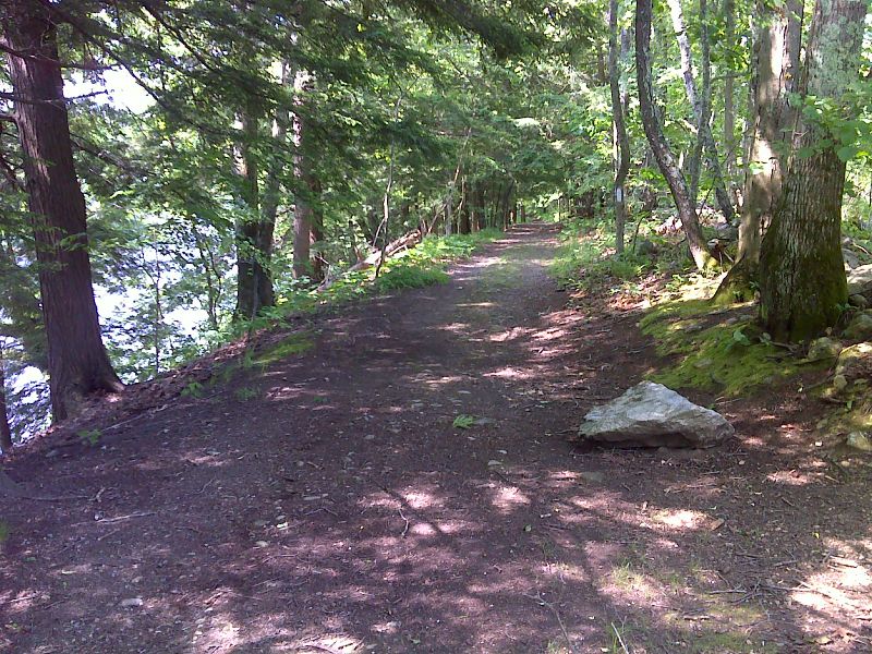
The trail follows this old road for a long distance along the west bank of the Housatonic River. GPS N41.7953 W73.4042
Submitted by pjwetzel @ gmail.com
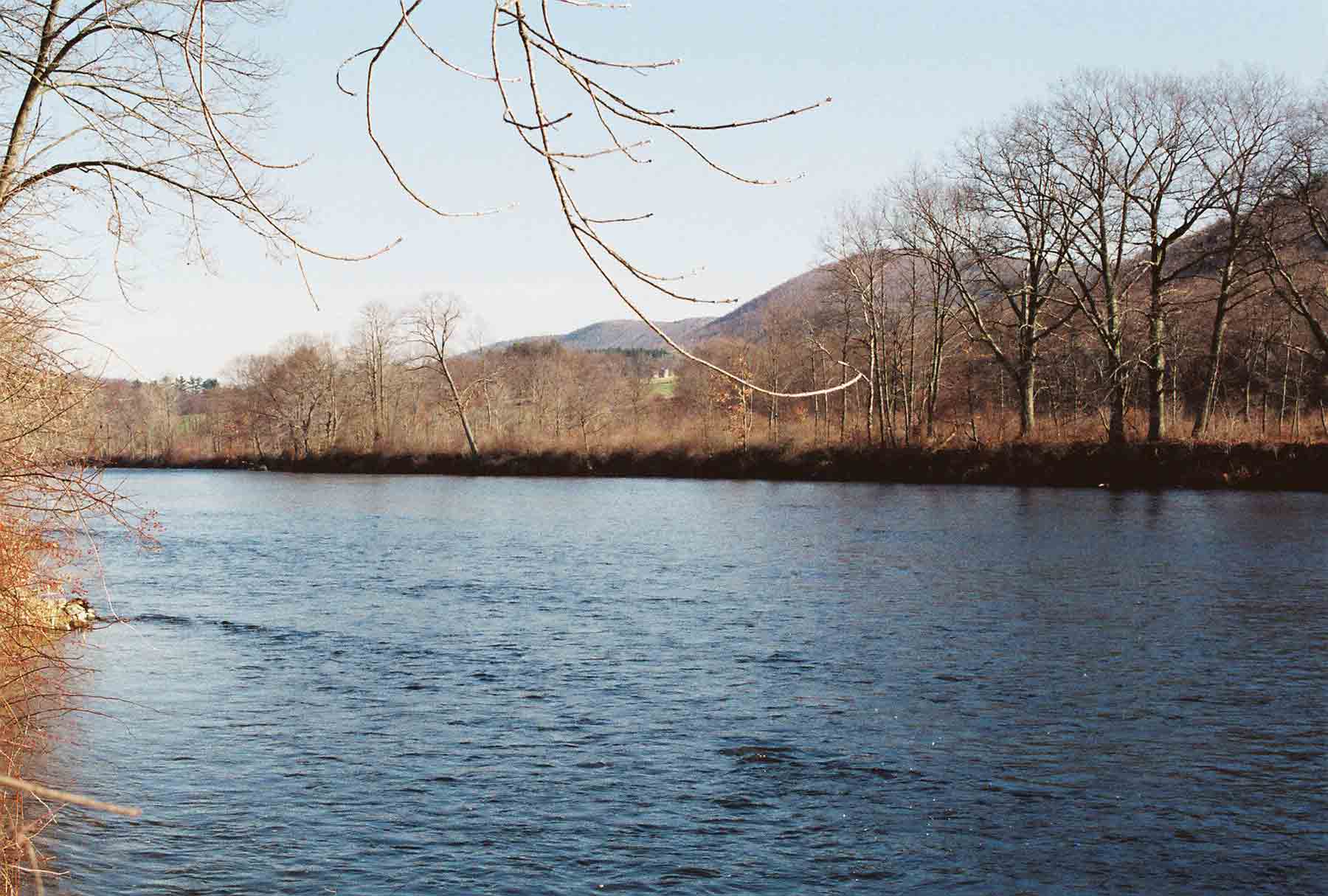
Housatonic River from "River Walk" portion of AT
Submitted by dlcul @ conncoll.edu
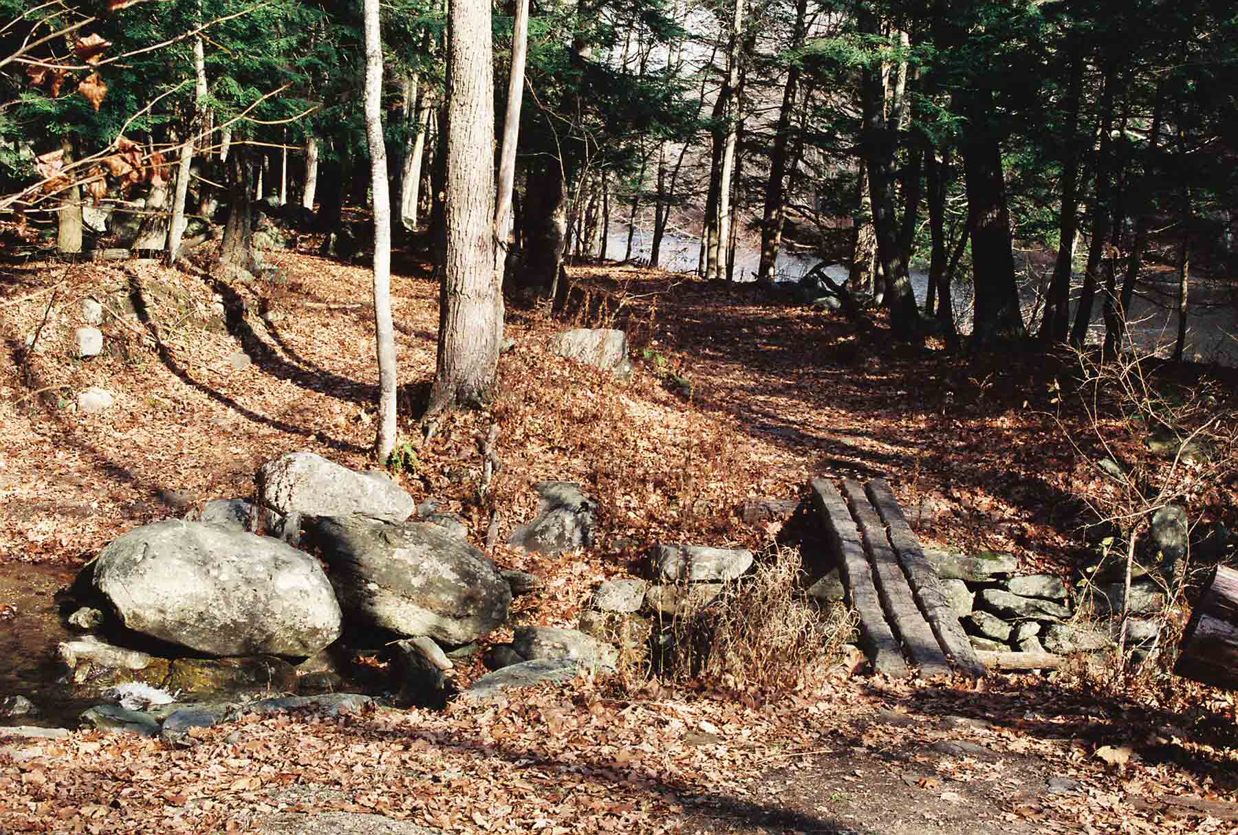
mm 3.7 - "River Walk" section of the AT as it crosses Stony Brook
Submitted by dlcul @ conncoll.edu
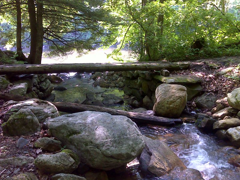
mm 3.7 Footbridge across Stony Creek. Designated campsites are nearby. The Housatonic River can be seen n the background. GPS 41.7836 W 73.4137
Submitted by pjwetzel @ gmail.com
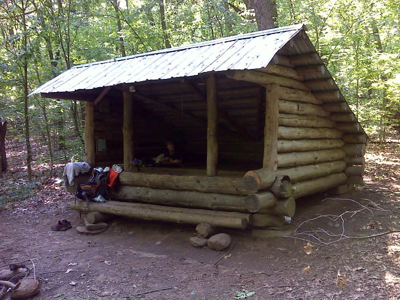
mm 4.1 Stewart Hollow Brook Shelter. GPS 41.7794 W 73.4185
Submitted by pjwetzel @ gmail.com
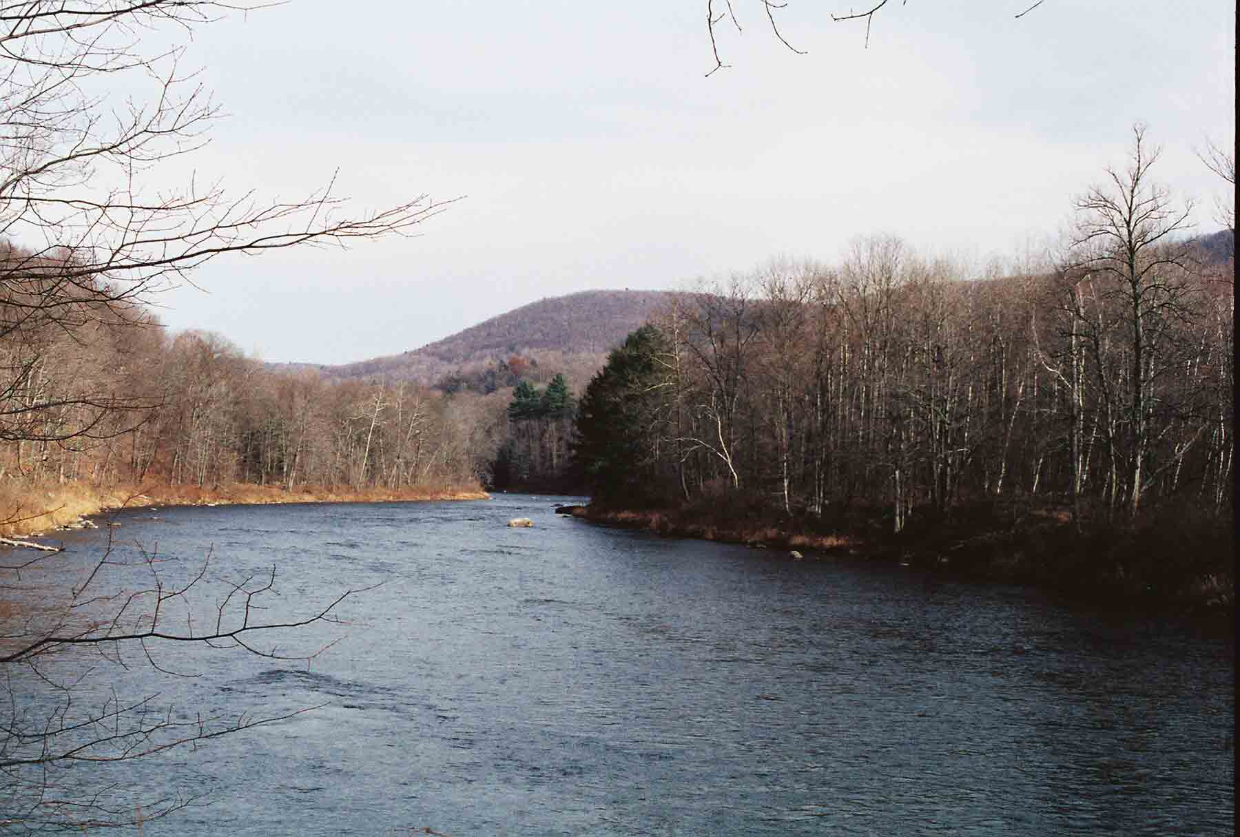
Another view of the Housatonic River from the "River Walk" section of the AT
Submitted by dlcul @ conncoll.edu
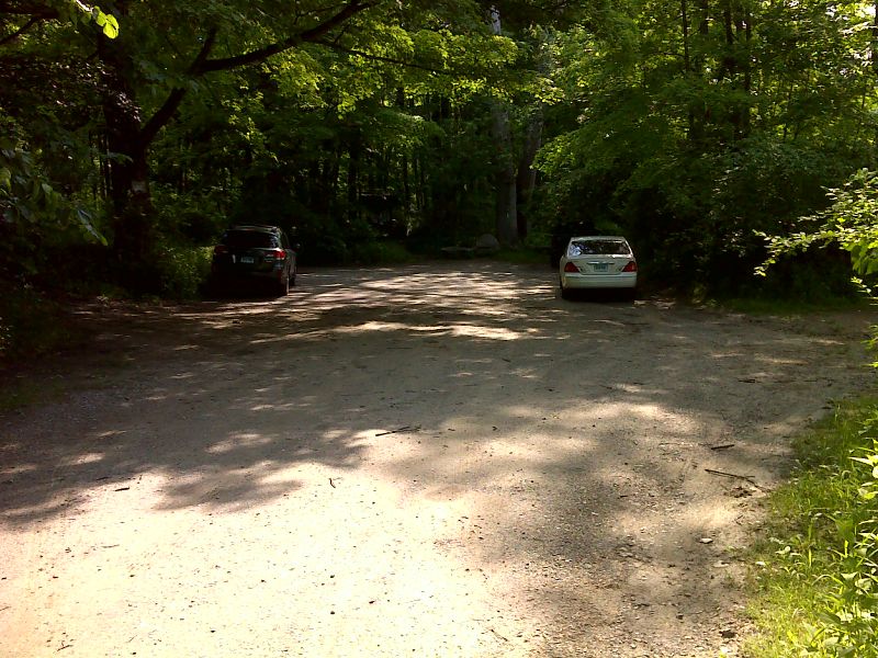
mm 5.4 Parking at the north end of the section of River Road open to vehicles. This is near the site of the North Kent Bridge which was washed out in 1936. GPS 41.7679 W 73.4390
Submitted by pjwetzel @ gmail.com