CT Section 4 Pictures - Milemarker 5.4 - 8.3
Site of North ent Bridge - Skiff Mountain Road
Move your mouse across the pictures for more information.
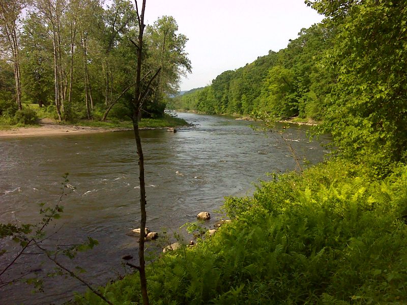
mm 5.4 View south along the Housatonic River from the site of the North Kent Bridge. This is at the north end of the section of River Road open to vehicles. N41.7679 W73.4390
Submitted by pjwetzel @ gmail.com
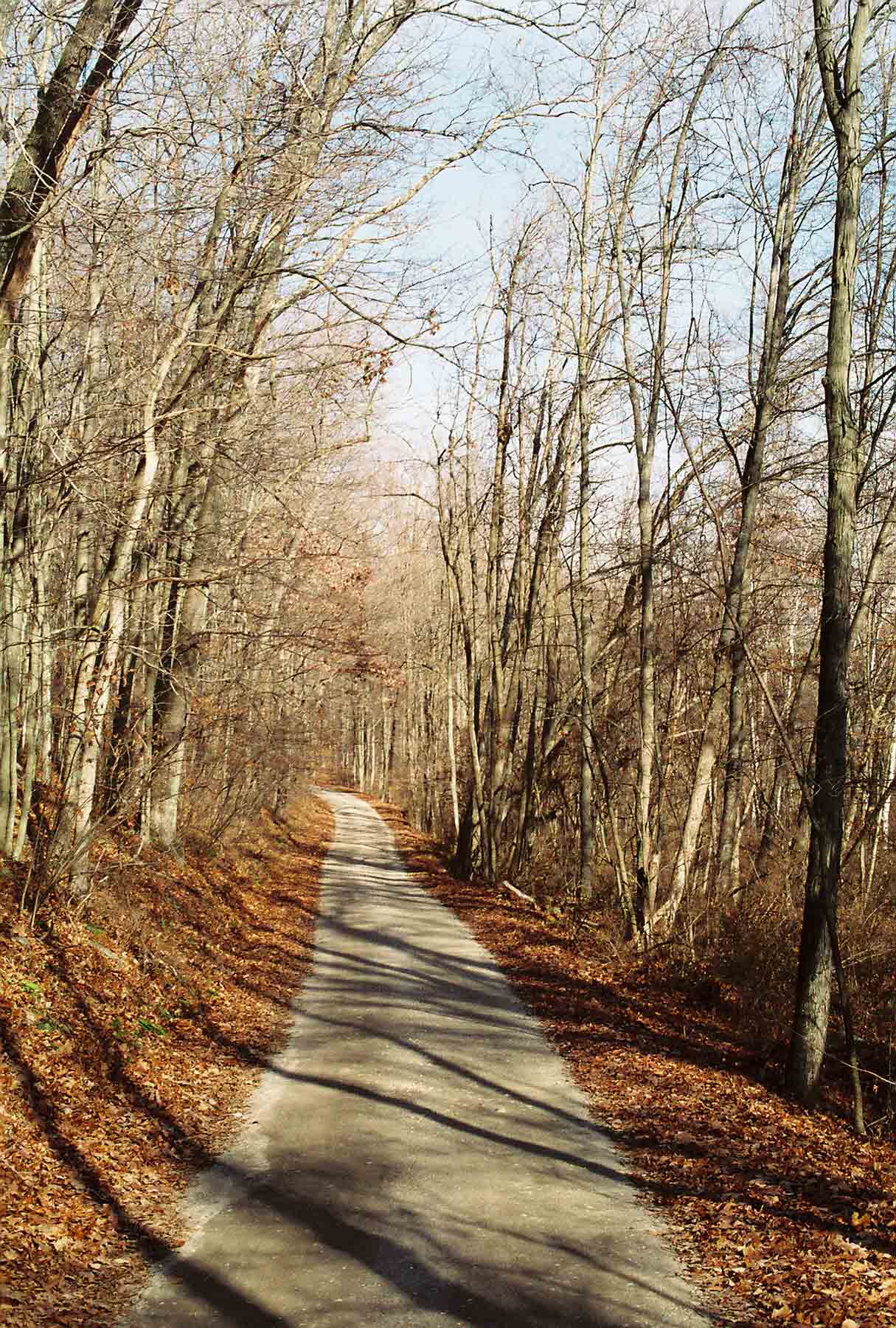
The southernmost mile (Mile 5.4 to 6.4) of the "River Walk" along the Housatonic follows a gravel road open to automobile traffic from Kent.
Submitted by dlcul @ conncoll.edu
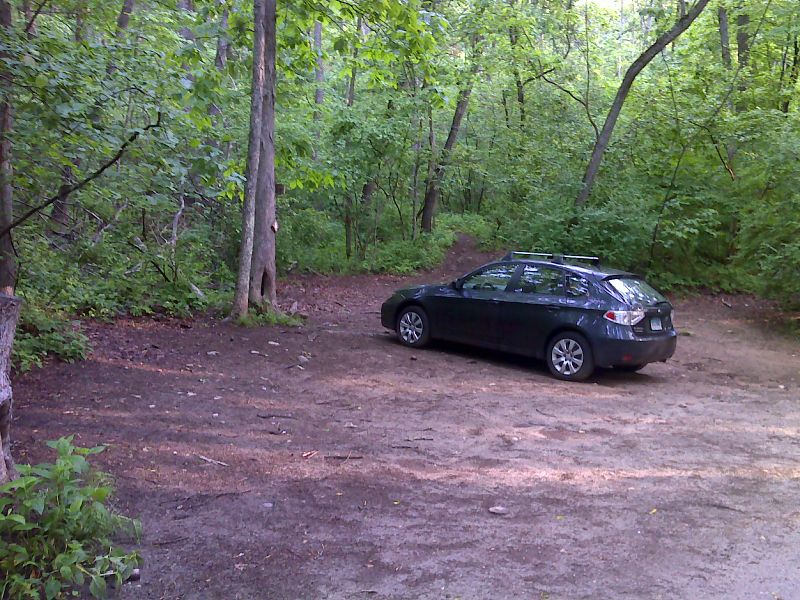
mm 6.4 Parking at base of St. Johns Ledges. Here the southbound trail leaves River Road and begins the climb to the ledges. GPS N41.7577 W73.4506
Submitted by pjwetzel @ gmail.com
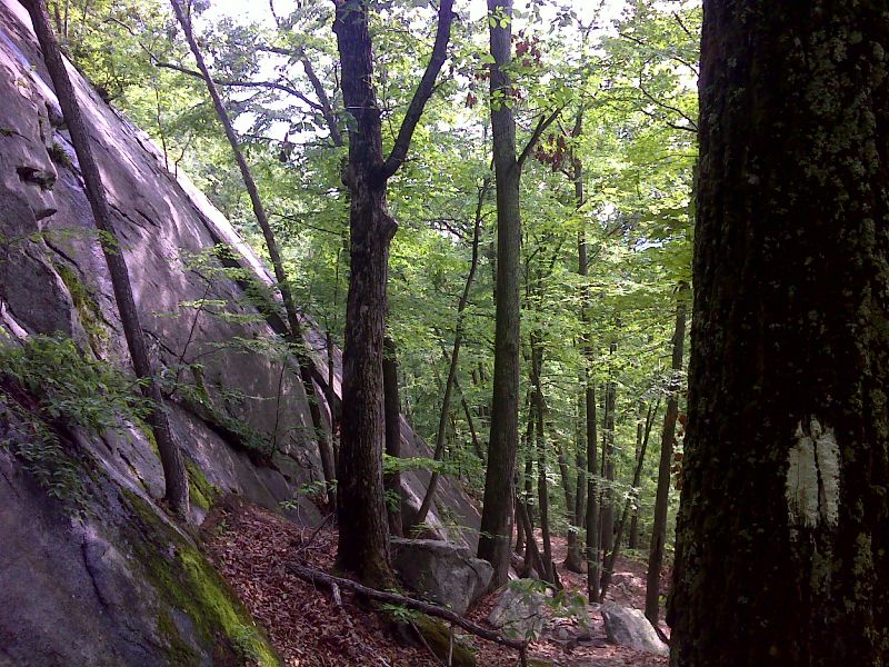
mm 6.5 Below St. Johns Ledges. GPS N41.7585 W73.4531
Submitted by pjwetzel @ gmail.com
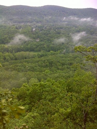
mm 6.9 Looking southeast from St. Johns Ledges. GPS N41.7576 W73.4557
Submitted by pjwetzel @ gmail.com
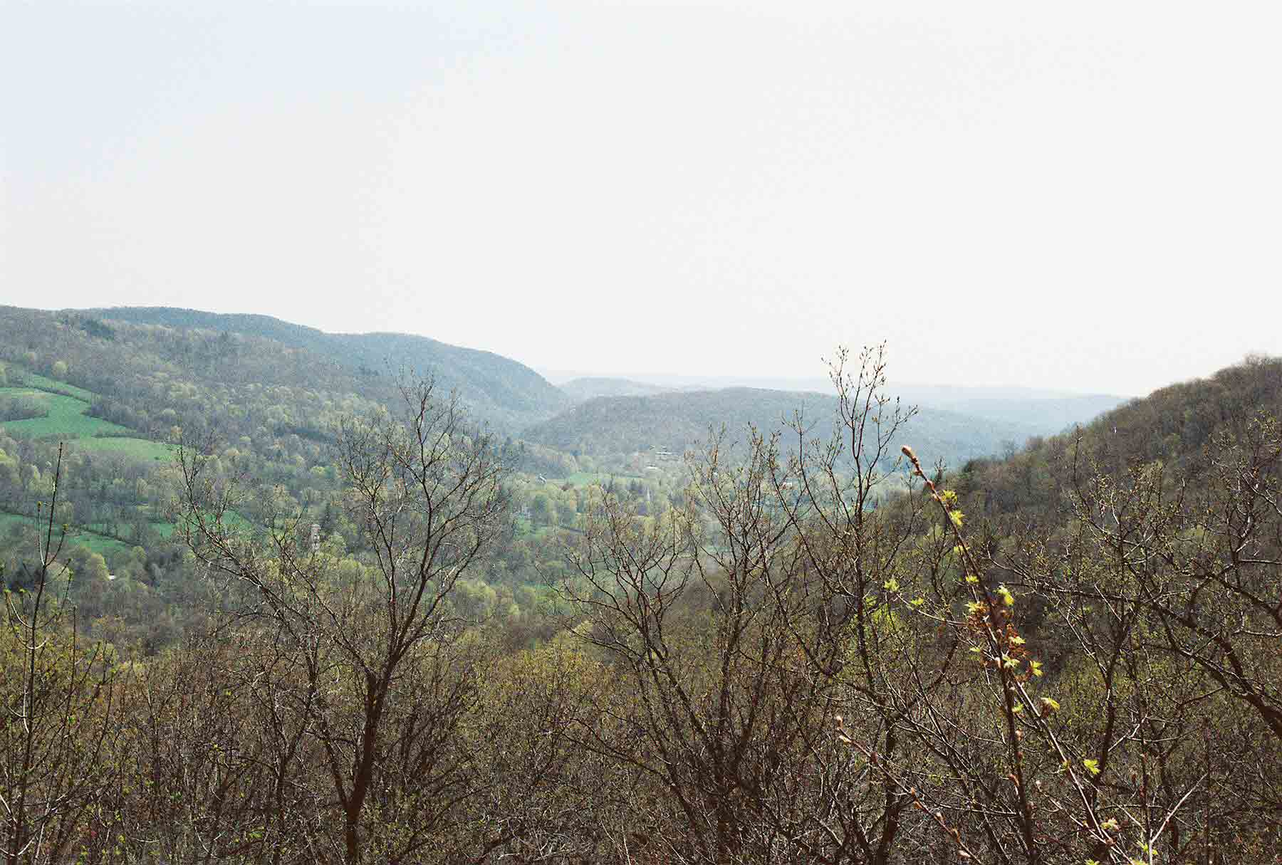
mm 7.6 - View to south towards Kent. I beleive it is from Calebs Peak.
Submitted by dlcul @ conncoll.edu
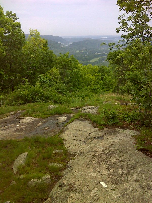
mm 7.6 View from Calebs Peak. GPS 41.7546 N73.4658
Submitted by pjwetzel @ gmail.com
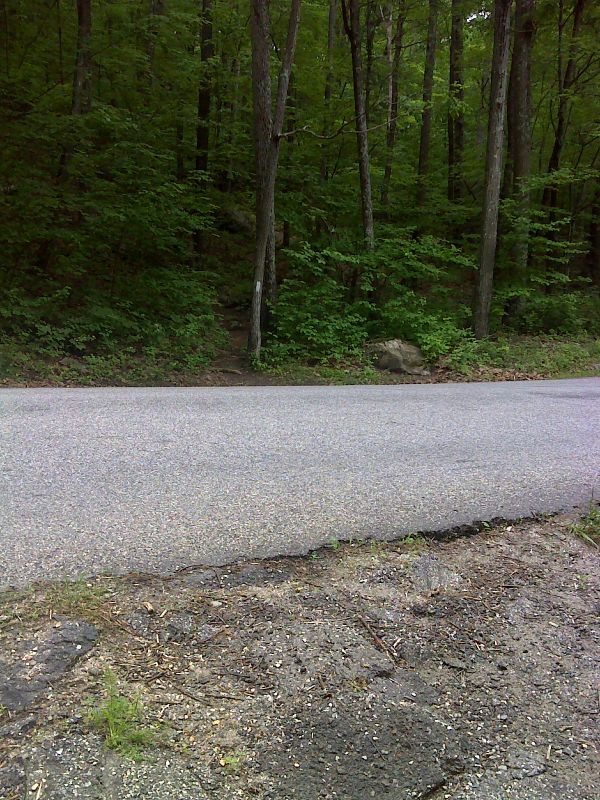
mm 8.3 Trail crossing of Skiff Mountain Road. Possible shoulder parking for one car. GPS N41.7502 W73.4716
Submitted by pjwetzel @ gmail.com