CT Section 5/NY Section 1 Pictures - Milemarker 0.0 - 4.2
CT 341 - State Line
Move your mouse across the pictures for more information.
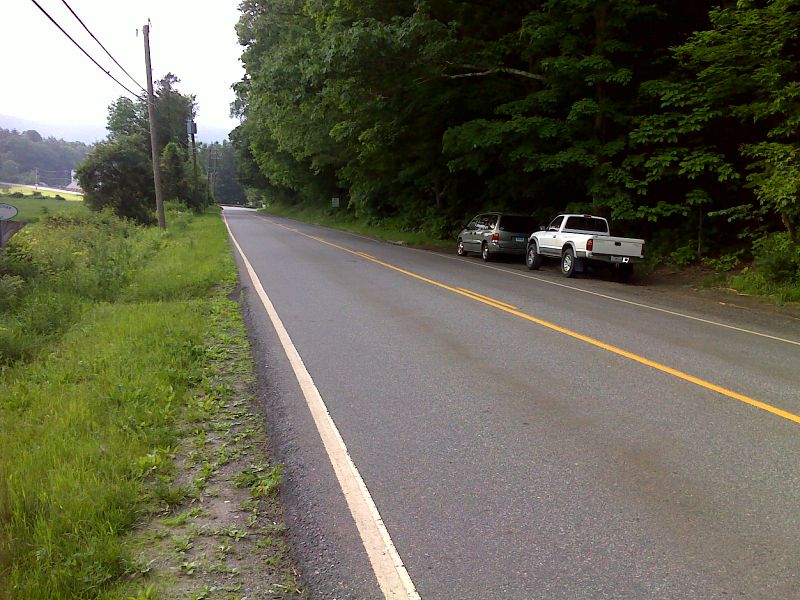
mm 0.0 Trail crossing of CT 341. There is a small parking pull-off here. More extensive parking is available at the intersection of CT 341 and Schaghticoke Road 0.2 miles to the east. This intersection can be seen (barely) in the distance in this picture
Submitted by pjwetzel @ gmail.com
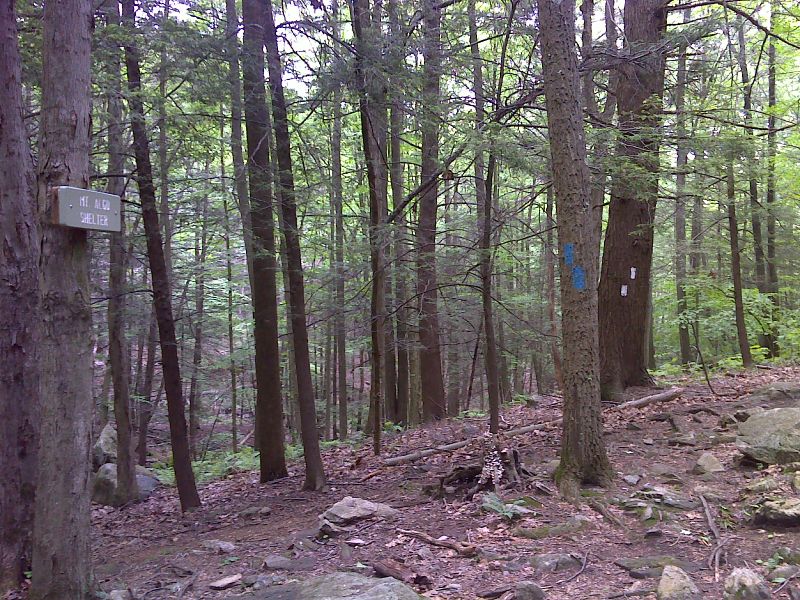
mm 0.3 Side trail to Mt. Algo Shelter. GPS N41.7311 W73.4961
Submitted by pjwetzel @ gmail.com
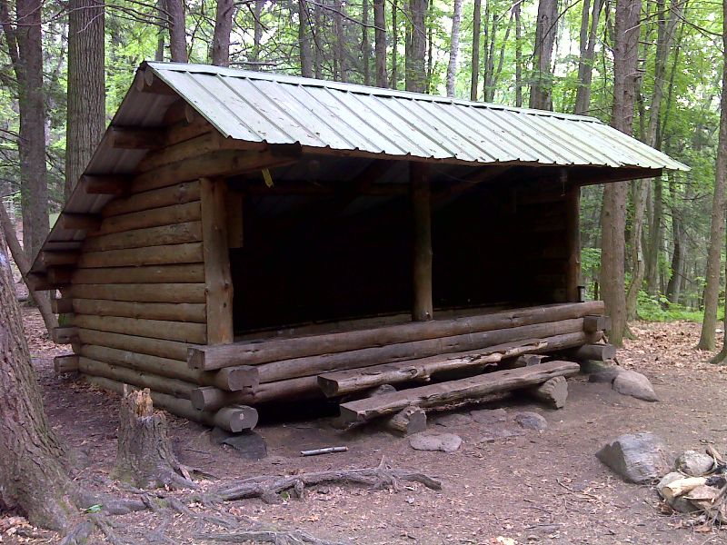
mm 0.3 Mt. Algo Shelter. GPS N41.7317 W73.4963
Submitted by pjwetzel @ gmail.com
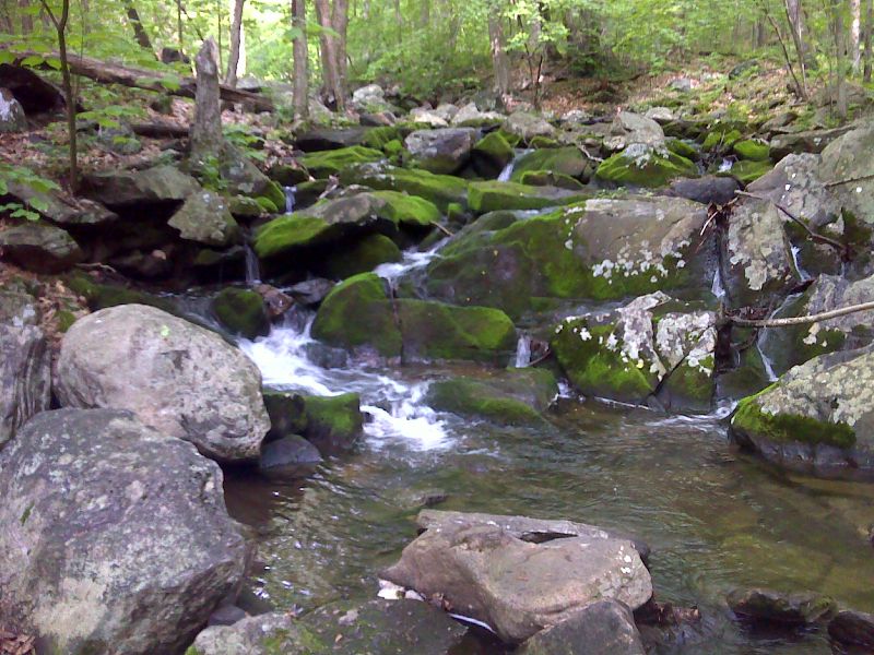
mm 1.3 Thayer Brook. GPS N41.7214 W73.4996
Submitted by pjwetzel @ gmail.com
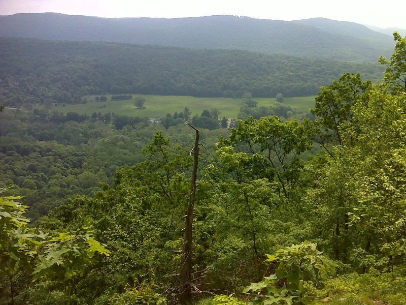
Looking east from a viewpoint south of Thayer Brook. There are several views between the brook and the Schaghticoke Mountain Campsite. GPS N41.7059 W73.5014
Submitted by pjwetzel @ gmail.com
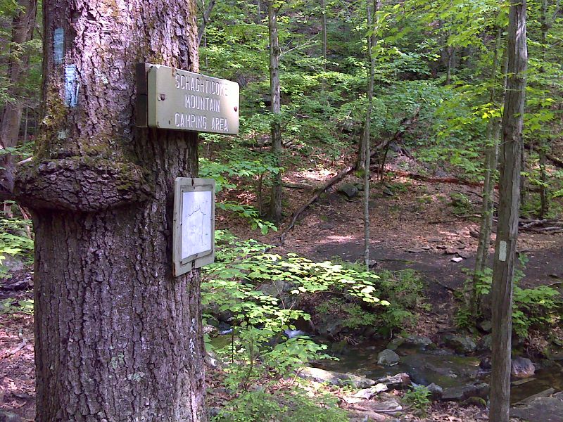
mm 3.2 Side trail to Schaghticoke Mountain campsite. GPS N41.6997 W73.5046
Submitted by pjwetzel @ gmail.com
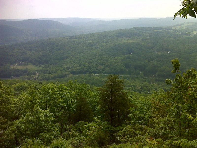
mm 3.8 View from Indian Rocks. This is actually on the Schaghticoke Indian Reservation. This is the only place where the trail is on Native American reservation land. GPS N41.6967 W73.5094
Submitted by pjwetzel @ gmail.com
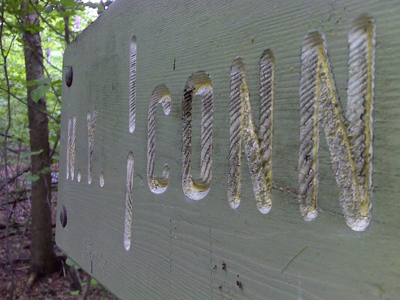
mm 4.2 Sign at the NY-CT state line. This is the northernmost of the three crossings of the state line in this section. GPS N41.6958 W73.5160
Submitted by pjwetzel @ gmail.com