CT Section 5/NY Section 1 Pictures - Milemarker 5.6 - 7.4
Schagticoke Mt. - Bulls Bridge/ Schaghticoke Roads
Move your mouse across the pictures for more information.
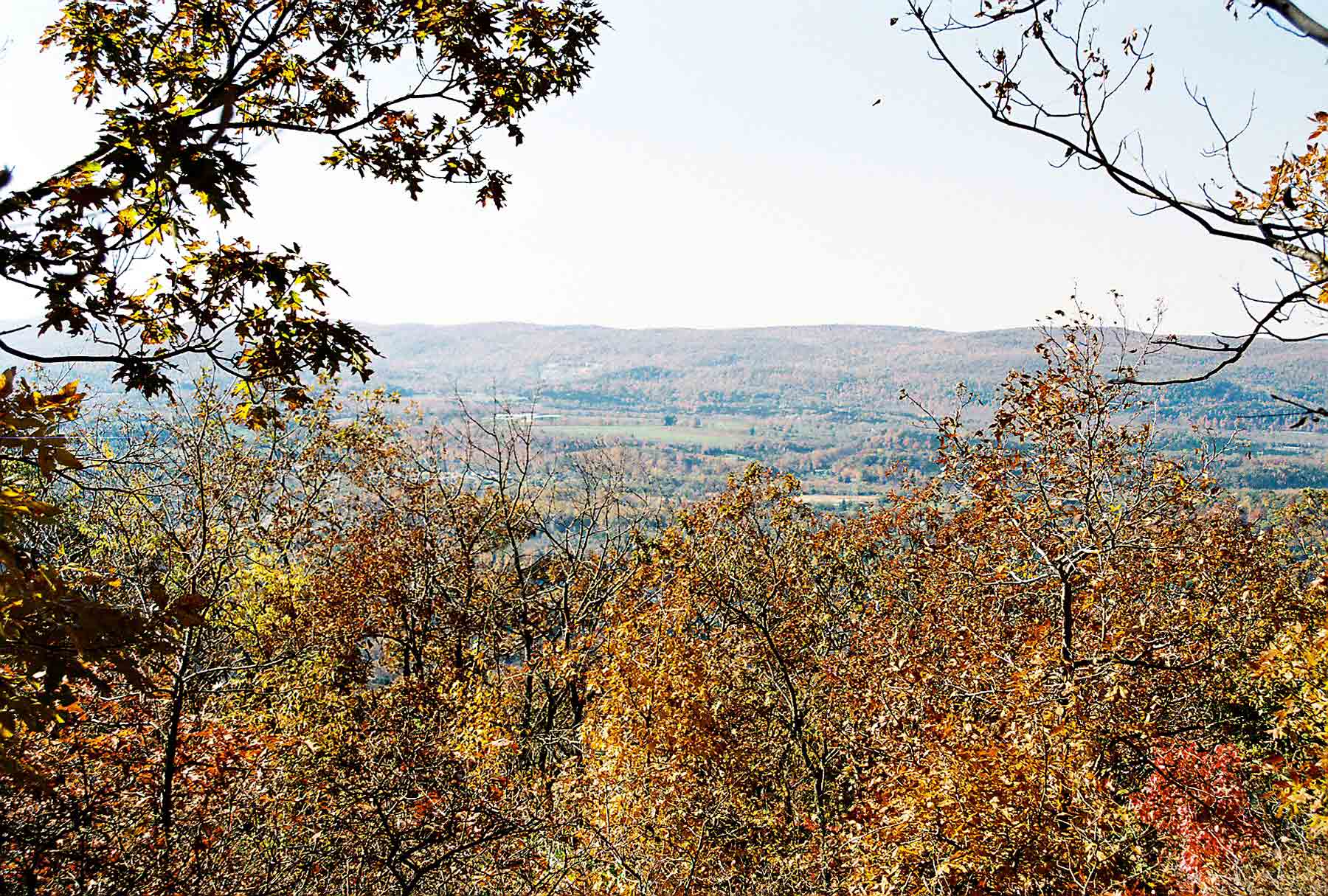
View east from the south end of the long ridge known as Schaghticoke Mt. Taken at approx. MM 5.6.
Submitted by dlcul @ conncoll.edu
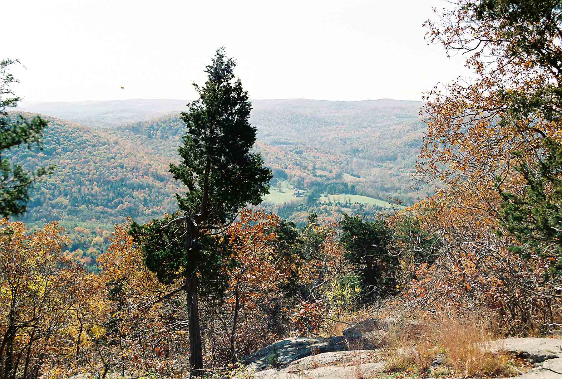
View to south from end of the Schaghticoke Mountain Ridge. From here the southbound trail descends to the Housatonic River near Bulls Bridge. Taken at approx. MM 5.6.
Submitted by dlcul @ conncoll.edu
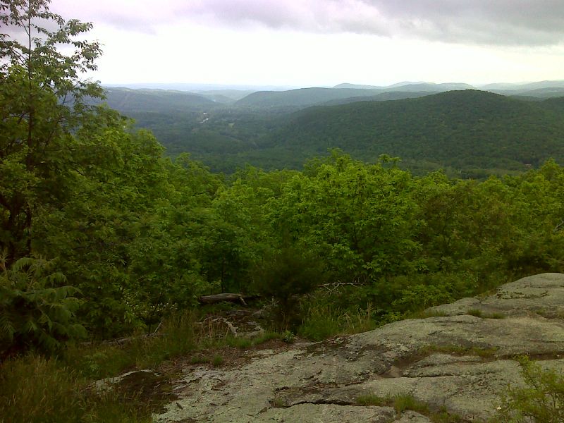
mm 5.6 View to south from Schaghticoke Mountain. GPS N41.6814 W73.5233
Submitted by pjwetzel @ gmail.com
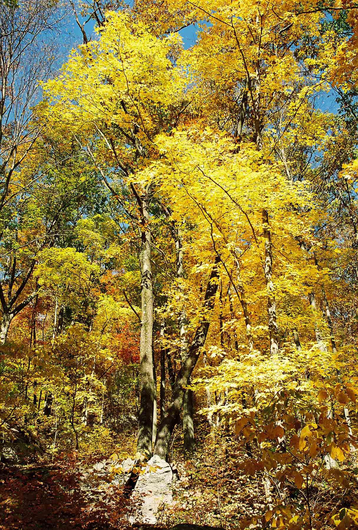
Fall color along the trail as the southbound trail descends towards Schaghticoke Road. Taken at approx. MM 6.8.
Submitted by dlcul @ conncoll.edu
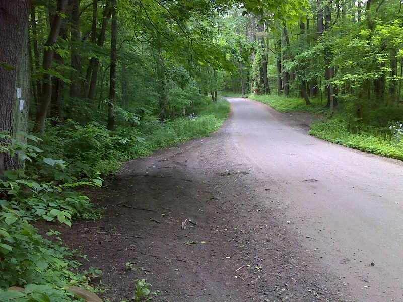
mm 7.1 North end of road walk along Schaghticoke Road . The northbound trail goes left (west). Note the parking pull-offs. GPS N41.6778 W73.5139
Submitted by pjwetzel @ gmail.com
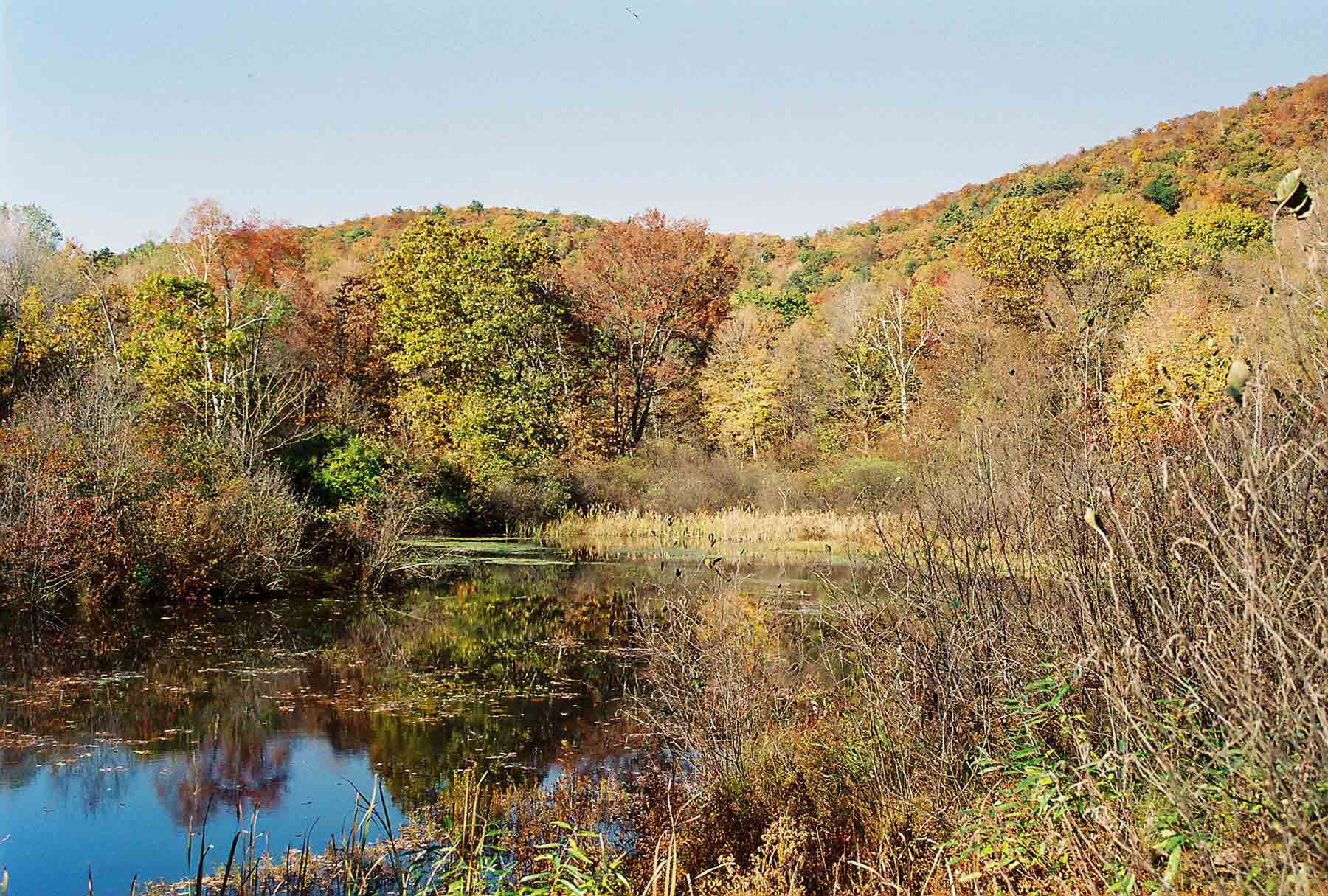
The soutbound AT reaches Schaghticoke Road once it reaches the valley floor near Bull's Bridge (Mile 7.1). It follows the road for 0.3 miles, passing this small pond. Picture obviously taken in fall.
Submitted by dlcul @ conncoll.edu
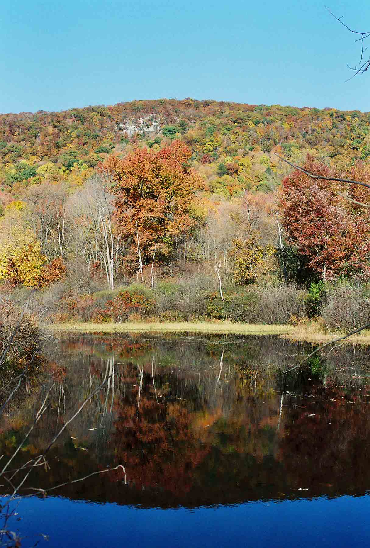
Another view across pond, this one looking back at the Schaghticoke Mountain Ridge which the trail traverses. The pond is at approx. MM 7.2.
Submitted by dlcul @ conncoll.edu
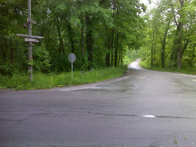
mm 7.4 Junction of Schaghticoke Road (straight ahead) and Bulls Bridge Road. From here the northbound trail follows Schaghticoke Road for 0.3 miles. As of 2014 no parking is allowed at this intersection. GPS N41.6757 W73.5145
Submitted by pjwetzel @ gmail.com