CT Section 5/NY Section 1 Pictures - Milemarker 7.9 - 8.5
Bulls Bridge Parking - - Ten Mile river Tenting Area
Move your mouse across the pictures for more information.
Main Parking lot at Bull's Bridge on a beautiful spring afternoon. (See mile 7.9). Update (2013). This parking lot is now closed. There is a parking area just to the west of US 7.
Submitted by dlcul @ conncoll.edu
Roadside parking along Bulls Bridge Road. Formerly the trail came in from the left, went along Bulls Bridge Road to the junction of Schagiticoke Road. The new trail goes over a hill to the junction. The former AT route is now a blue-blazed route which meets the AT at MM 7.9 Alternatively the road may be followed over the rise in picture to meet AT at MM 7.4. Update (2013): Because of overuse of the sort seen in this photo, roadside parking is prohibited along Bulls Bridge Road from US 7 to the junction with Schaghticoke Road.
Submitted by dlcul @ conncoll.edu

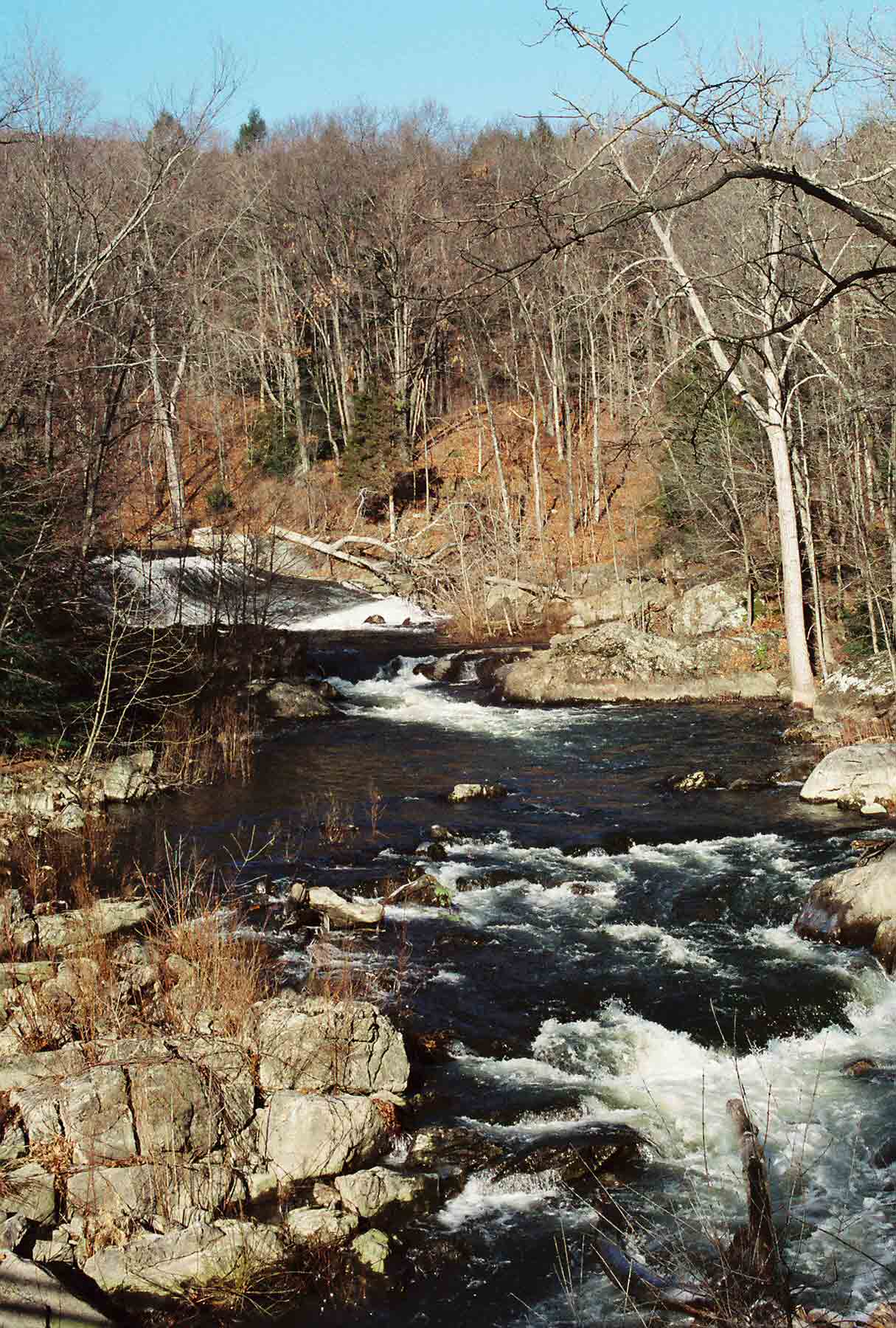
A channel of the Housatonic River near Bulls Bridge.
Submitted by dlcul @ conncoll.edu
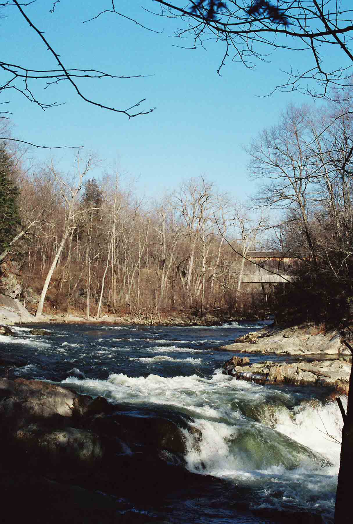
ed. 1/12/08 - This is no longer on the AT but on a blue-blazed access trail.

Housatonic River looking north towards Bulls Bridge, one of the two covered bridges in CT which is still open to automobile traffic. Due to a fairly recent relocation, this view is no longer on the AT, but on a blue-blazed access trail from Bull's Bridge Road which meets the AT at MM 7.9.
Submitted by dlcul @ conncoll.edu

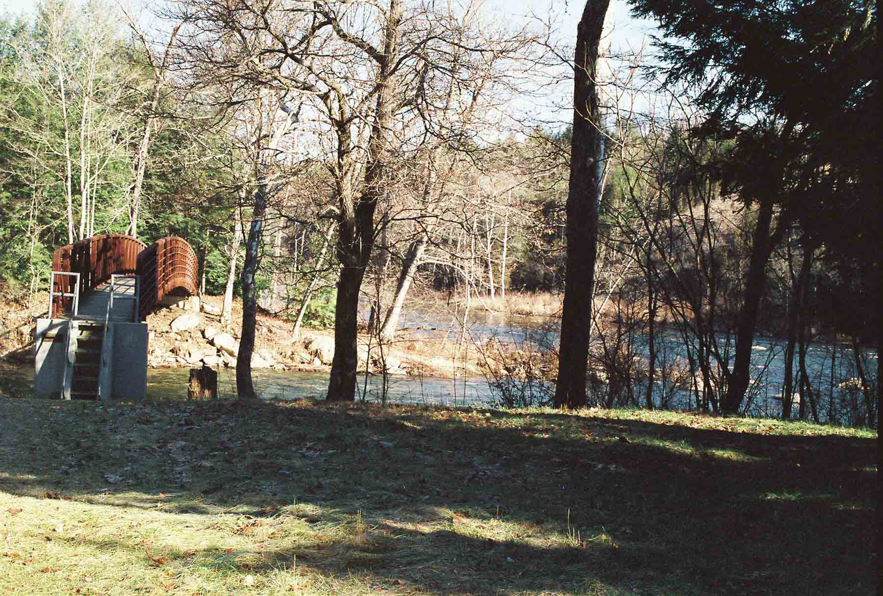
Ned Anderson foot bridge across the Ten Mile River at its confluence with the Housatonic (Mile 8.5). At one time Ned Anderson maintained virtually all the CT AT by himself.
Submitted by dlcul @ conncoll.edu
mm 8.5 - Another view of the Ned Anderson Bridge across the Ten Mile river
Submitted by dlcul @ conncoll.edu
mm 8.5 - View South along the Houstaonic from Ned Anderson Bridge
Submitted by dlcul @ conncoll.edu
mm 8.5 - Ten Mile River tenting area
Submitted by dlcul @ conncoll.edu