CT Section 5/NY Section 1 Pictures - Milemarker 8.6 - 11.1
Ten Mile River - South of CT 55
Move your mouse across the pictures for more information.
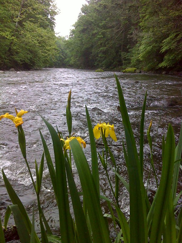
Wild yellow iris along the Ten Mile River. GPS N41.6662 W73.5098
Submitted by pjwetzel @ gmail.com
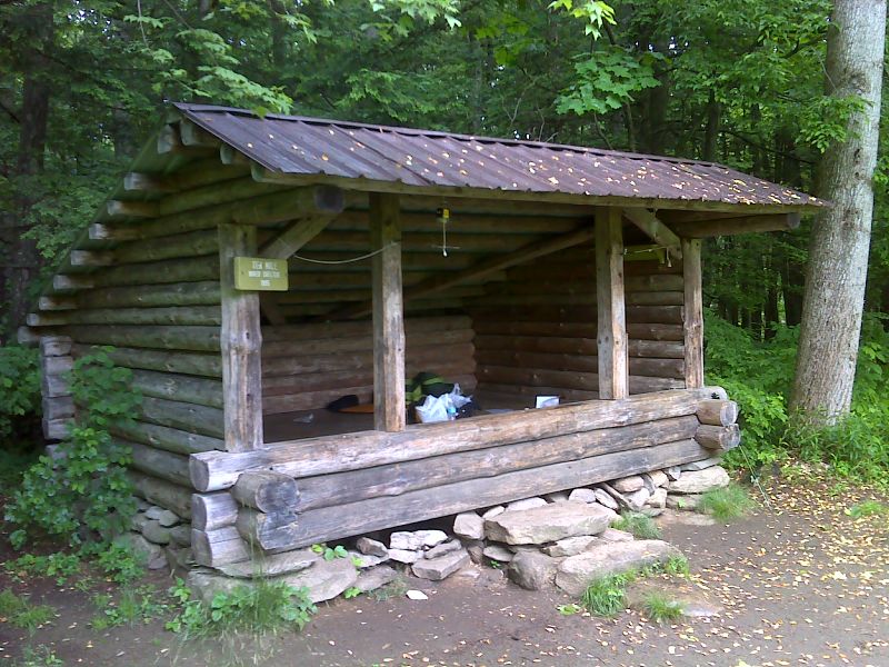
mm 8.7 Ten Mile River Shelter. GPS N41.6653 W73.5096
Submitted by pjwetzel @ gmail.com
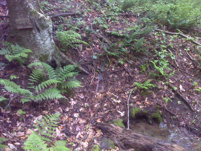
mm 9.2 Caper Spring. GPS N41.6637 W73.5146
Submitted by pjwetzel @ gmail.com
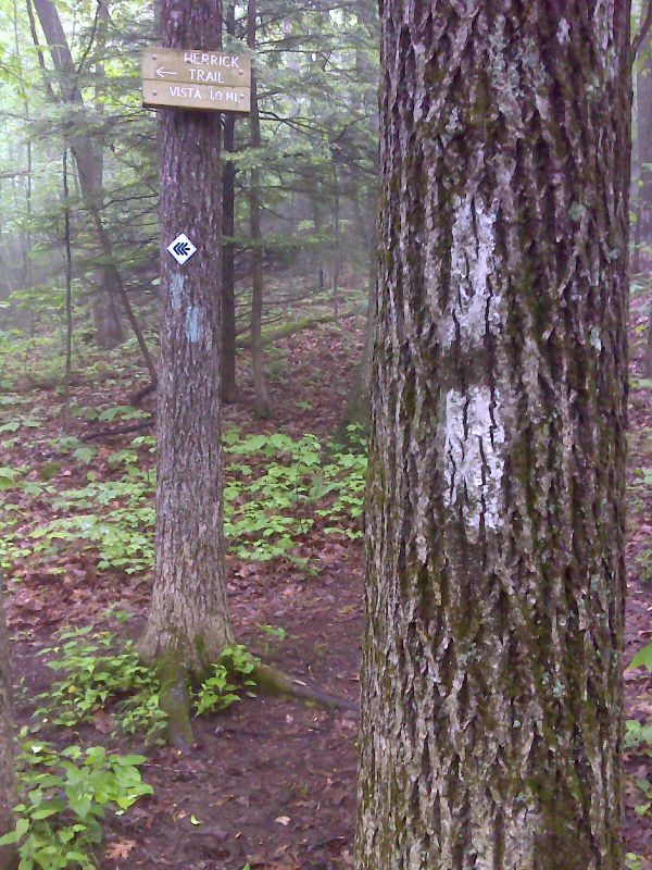
mm 9.6 Junction with the Herrick Trail. GPS N41.6610 W73.5131
Submitted by pjwetzel @ gmail.com
mm 9.7 - View to NW from summit of Ten Mile Hill
Submitted by dlcul @ conncoll.edu
mm 9.7 - View from summit of Ten Mile Hill
Submitted by dlcul @ conncoll.edu
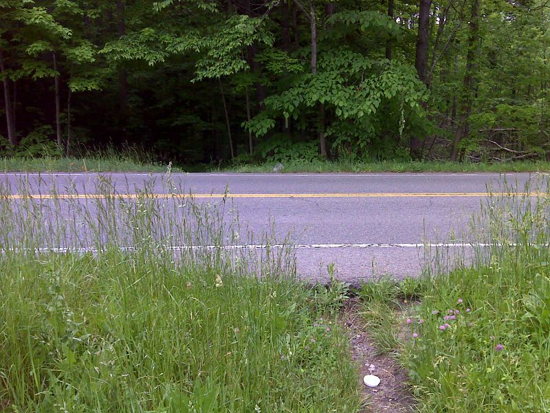
mm 10.8 Trail crossing of CT 55. No parking here. GPS N41.6419 W 73.5165
Submitted by pjwetzel @ gmail.com
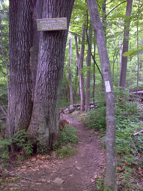
Connecticut sign south of CT 55. Taken at approx. mm 11.1 . GPS N41.6443 W 73.5179
Submitted by pjwetzel @ gmail.com