GA Section 11 Pictures - Milemarker 0.0 - 4.5
Bly Gap - Plum Orchard Gap Shelter
Move your mouse across the pictures for more information.
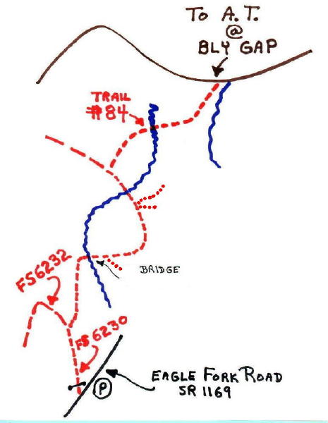
Hand drawn map showing hike from Shooting Creek, NC up the Bly Gap Trail to the Gnarled Tree... No blazes... Tree actually in NC....
Submitted by elversonhiker @ yahoo.com
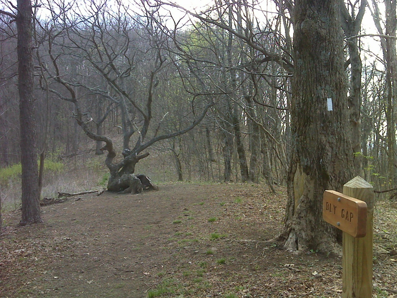
mm 0.0 Bly Gap and the seated squaw or Manigebeskwa trail tree - woman of the woods. GPS N34.9943 W83.5996
Submitted by pjwetzel @ gmail.com
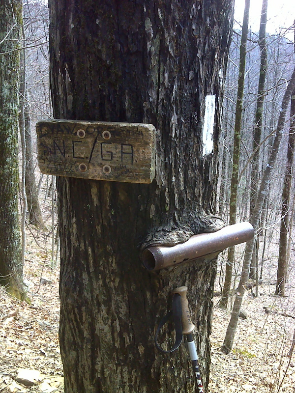
mm 0.1 Georgia-North Carolina State Line. Bly Gap, the northern terminus of this section is actually in North Carolina. GPS N34.9933 W83.6000
Submitted by pjwetzel @ gmail.com

Rock outcrop with winter vista of Hightower Bald. GPS N34.9844 W83.5979
Submitted by pjwetzel @ gmail.com
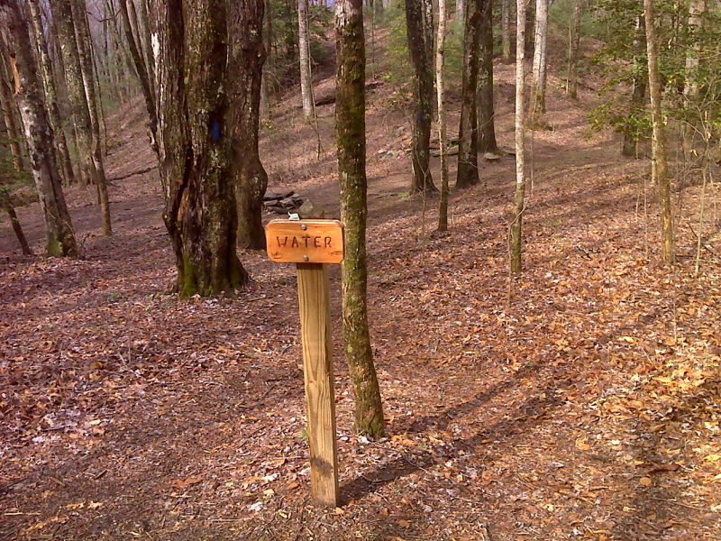
mm 2.2 Campsite with spring, Wheeler Knob. GPS N34.9683 W83.5944
Submitted by pjwetzel @ gmail.com
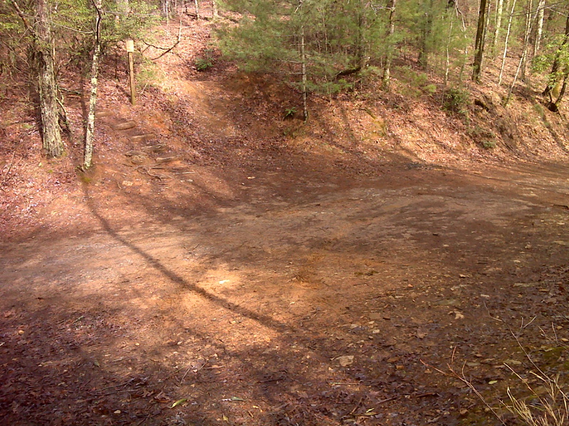
mm 3.2 Blue Ridge Gap FS72, parking available, poor road. GPS N34.9586 W83.5963
Submitted by pjwetzel @ gmail.com
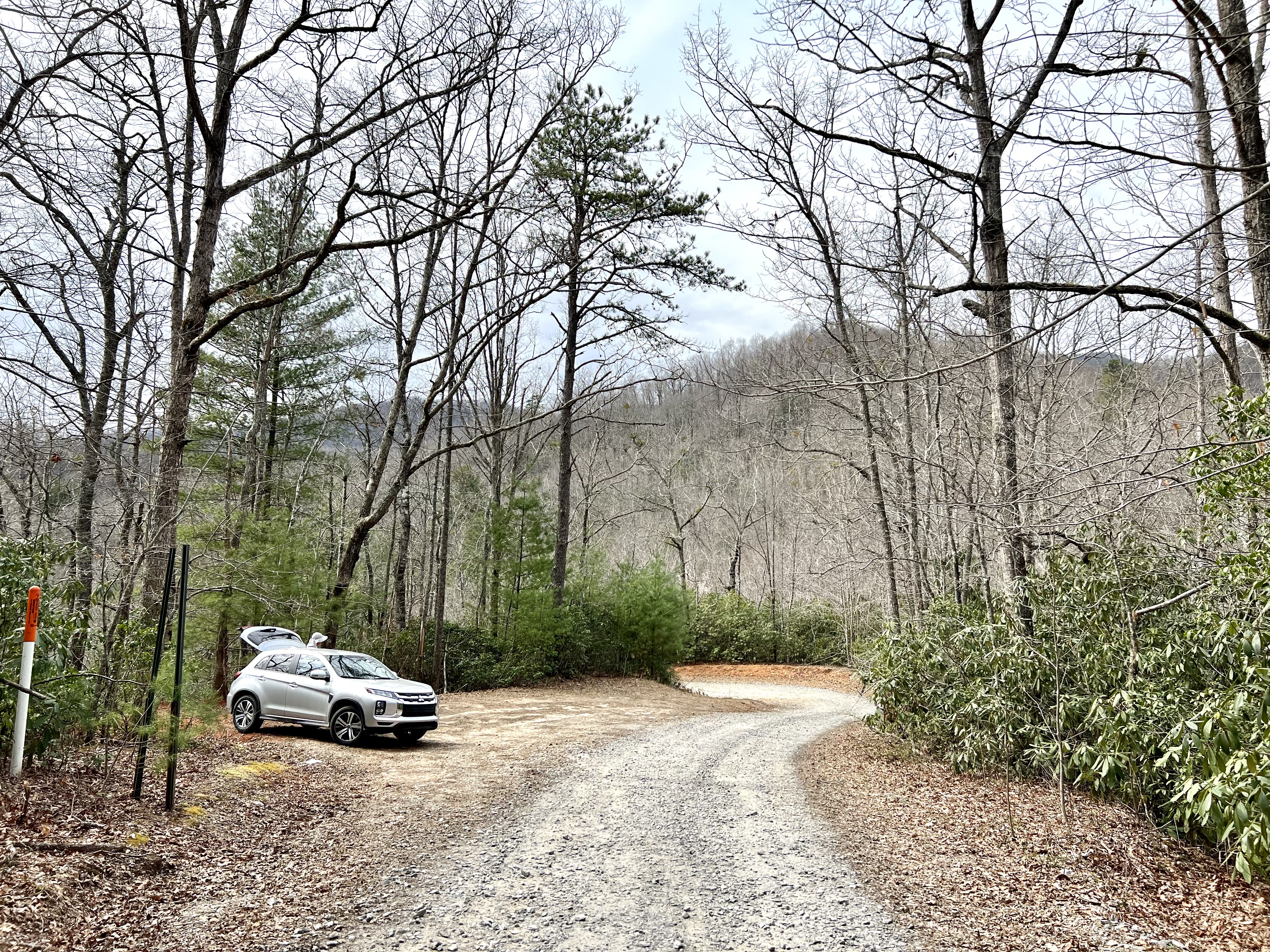
MM 3.2 parking area viewed looking SW along Charlies Creek Road for access to Blue Ridge Gap. Notice the bend in the road. Hike about .7 miles/600ft in elevation gain to reach the intersection of the AT at Blue Ridge Gap.
Submitted by Wardandda @ gmail.com
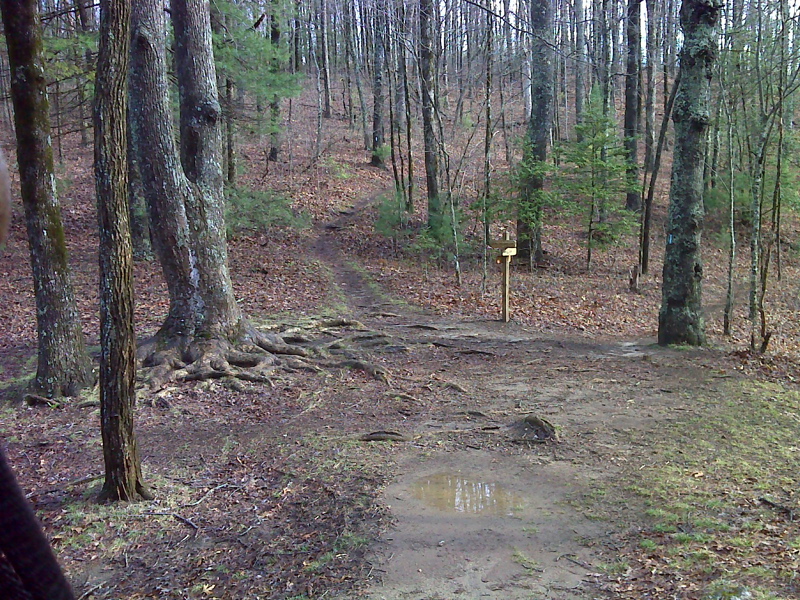
mm 4.5 Plum Orchard Gap, side trail to shelter. It is 0.2 miles to the shelter. GPS N34.9459 W83.5913
Submitted by pjwetzel @ gmail.com
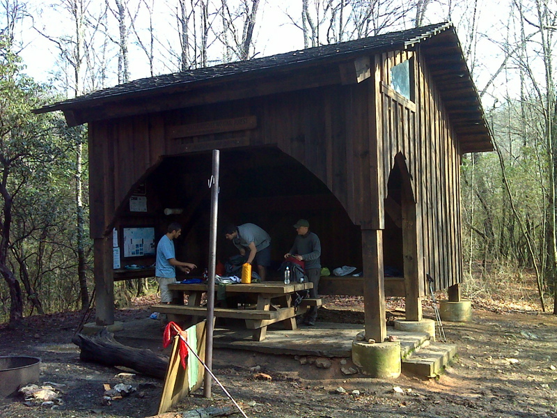
mm 4.5 Plum Orchard Gap Shelter. GPS N34.9460 W83.5883
Submitted by pjwetzel @ gmail.com