GA Section 12 Pictures - Milemarker 5.4 - 11.4
Addis Gap - Tray Mt.
Move your mouse across the pictures for more information.
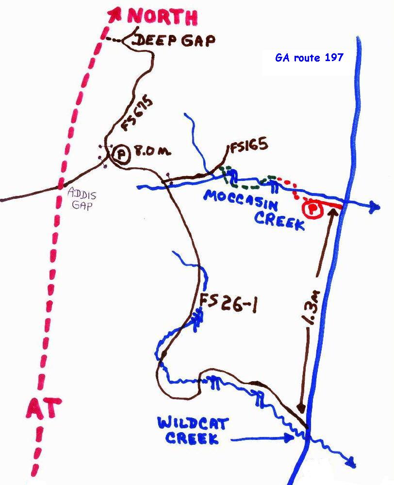
You can take USFS 26-1 to within half mile of AT. Wildcat Road is 1.3 miles south of Moccasin Creek S.P. on GA route 197.
Submitted by elversonhiker @ yahoo.com
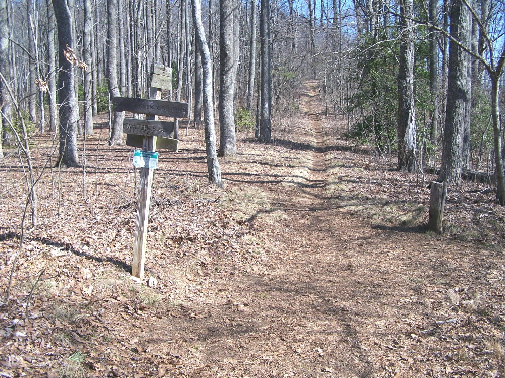
An older view of Addis Gap, before new signage.
Submitted by elversonhiker @ yahoo.com
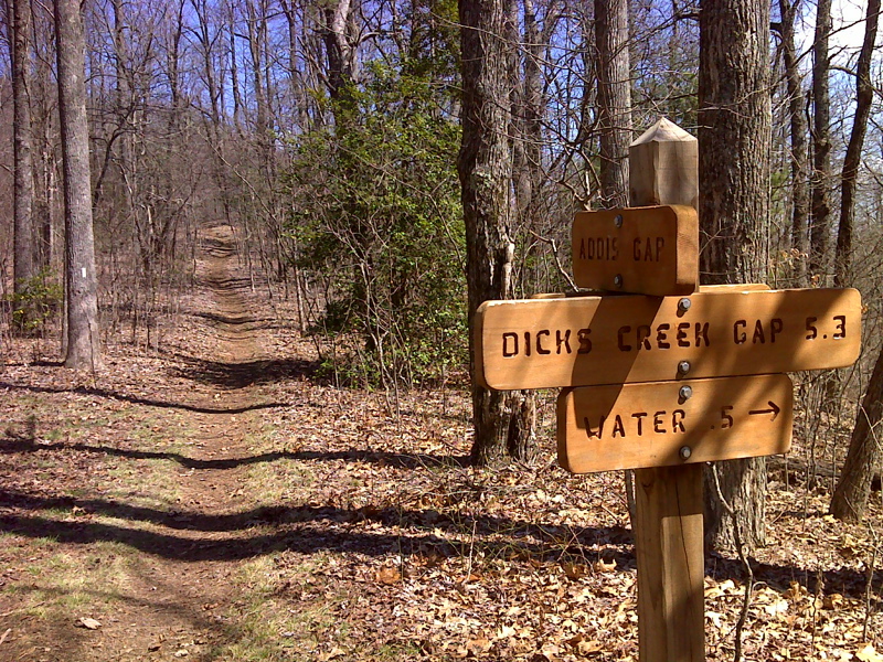
mm 5.4 Addis Gap GPS N34.8628 W83.6563
Submitted by pjwetzel @ gmail.com
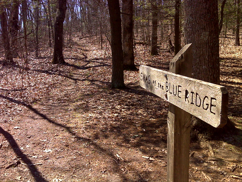
mm 7.4 Wide gap called Swag of the Blue Ridge. GPS N34.8384 W83.6592
Submitted by pjwetzel @ gmail.com
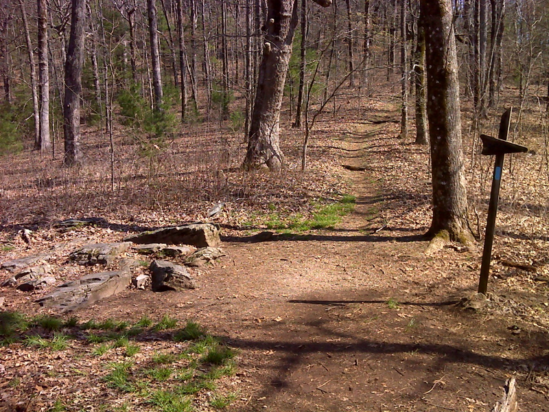
mm 9.1 Camping and trail to water, Steeltrap Gap. GPS N34.8168 W83.6750
Submitted by pjwetzel @ gmail.com
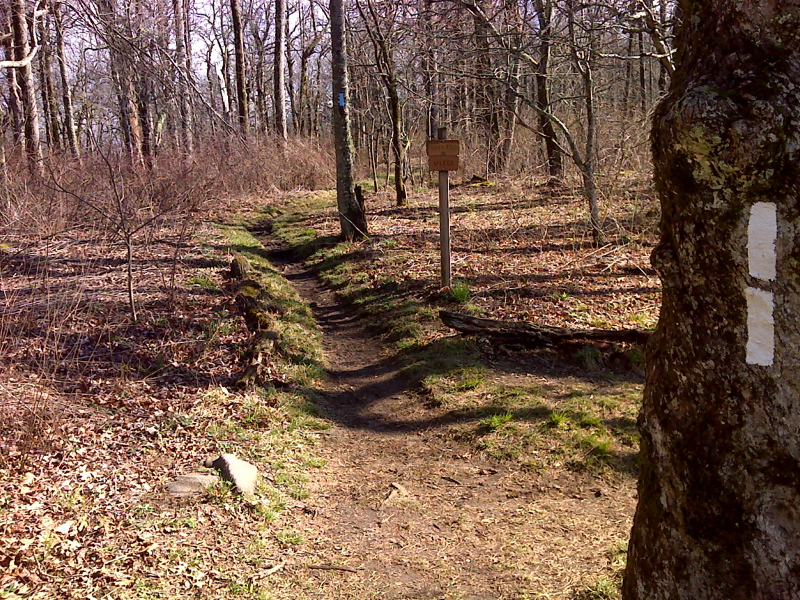
mm 11.0 Side trail to Tray Mt. Shelter. It is 0.2 miles to the shelter. GPS N34.8027 W83.6786
Submitted by pjwetzel @ gmail.com
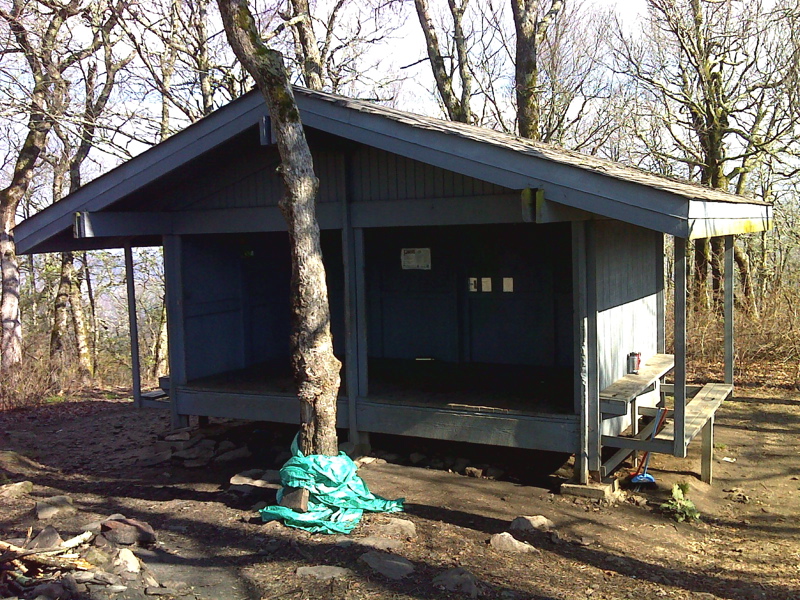
mm 11.0 Tray Mt. Shelter. GPS N34.8040 W83.6788
Submitted by pjwetzel @ gmail.com
mm 10.9 - Craig on Tray Mountain. December 2005 on a six day hike from Springer to Dick's Creek. Photographer is Michael.
Submitted by mwholmesjr @ hotmail.com