GA Section 12 Pictures - Milemarker 11.4 - 14.0
Tray Mt. - Indian Grave Gap
Move your mouse across the pictures for more information.
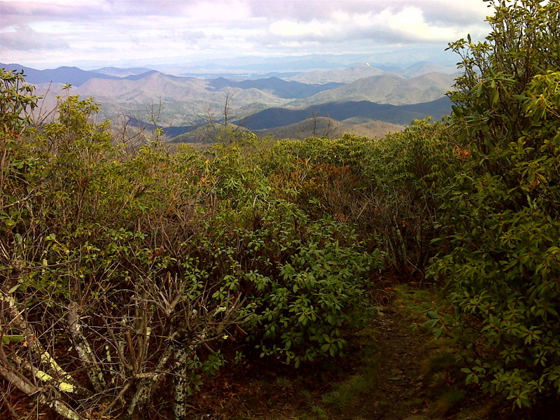
mm 11.4 View NW from summit of Tray Mt. GPS N34.8014 W83.6840
Submitted by pjwetzel @ gmail.com
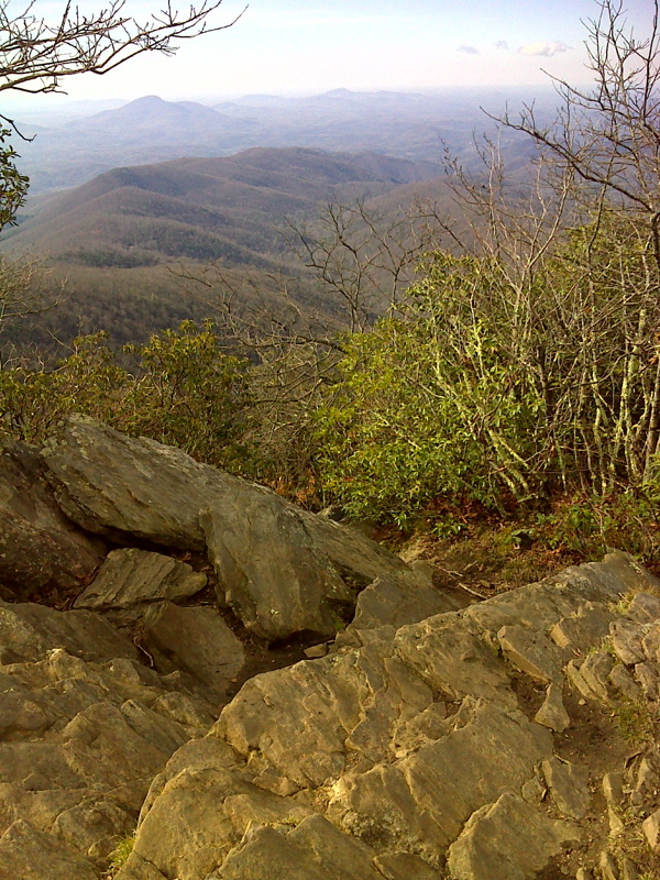
mm 11.4 Tray Mt. summit vista, looking south. GPS N34.8014 W83.6840
Submitted by pjwetzel @ gmail.com
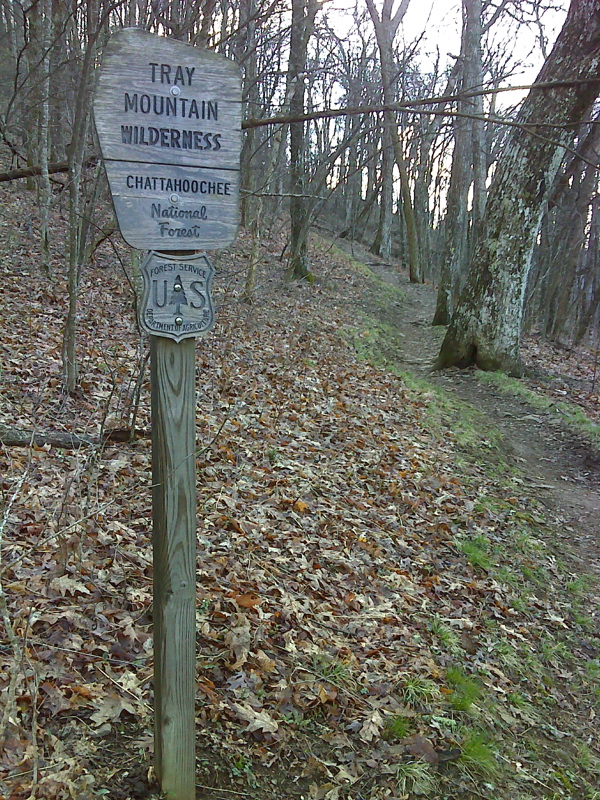
mm 12.2 Northbound from Tray Gap the AT enters the Tray Mt. Wilderness. GPS N34.7992 W83.6906
Submitted by pjwetzel @ gmail.com
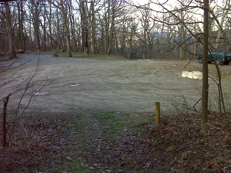
mm 12.2 Large dirt parking area at Tray Gap. GPS N34.7993 W83.6908
Submitted by pjwetzel @ gmail.com
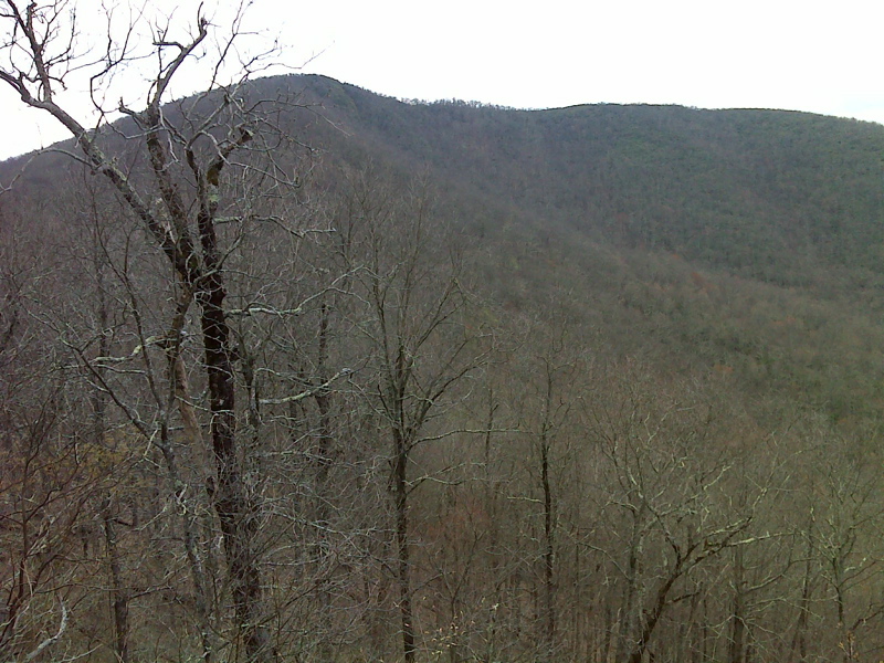
Tray Mt. from viewpoint near Tray Gap. GPS N34.7967 W83.6932
Submitted by pjwetzel @ gmail.com
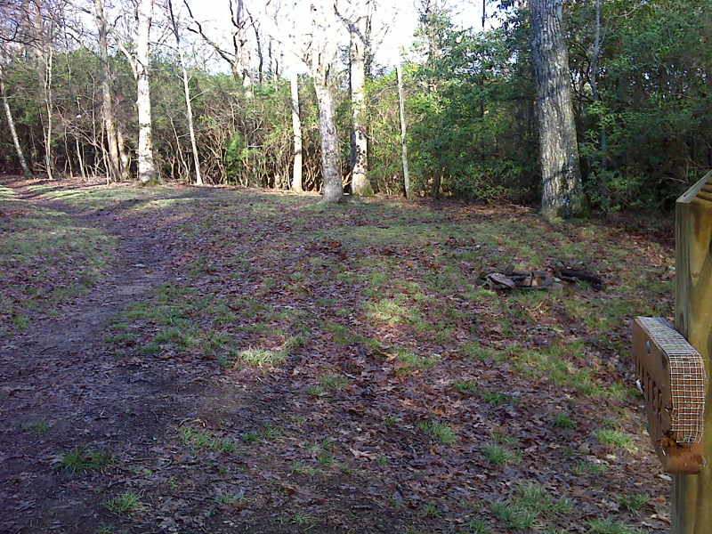
mm 13.0 Cheese Factory camping area and trail to water source. GPS N34.7936 W83.6982
Submitted by pjwetzel @ gmail.com
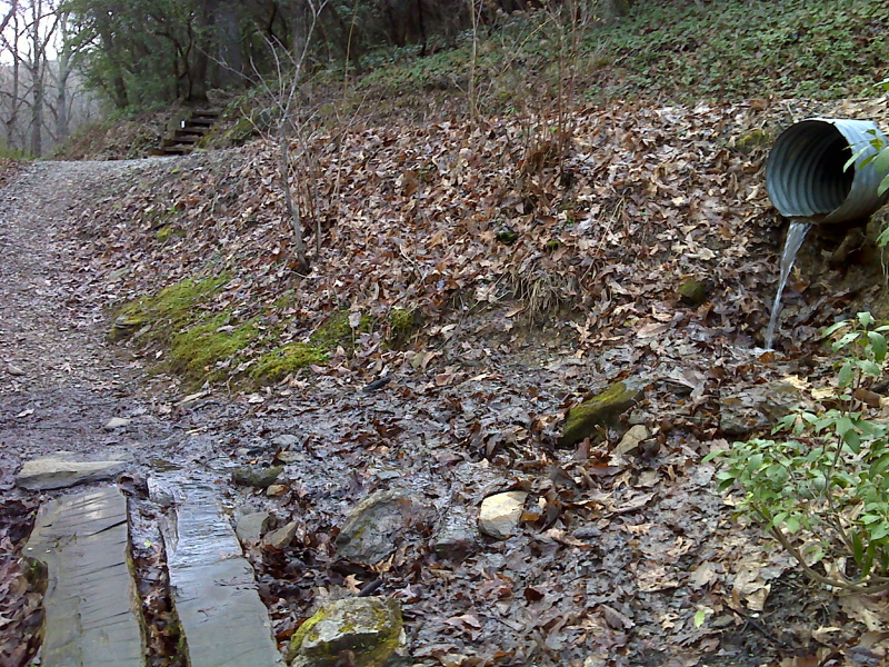
mm 13.3 AT crosses USFS 79 (Tray Mt. Road) near Indian Grave Gap. GPS N34.7932 W83.7035
Submitted by pjwetzel @ gmail.com
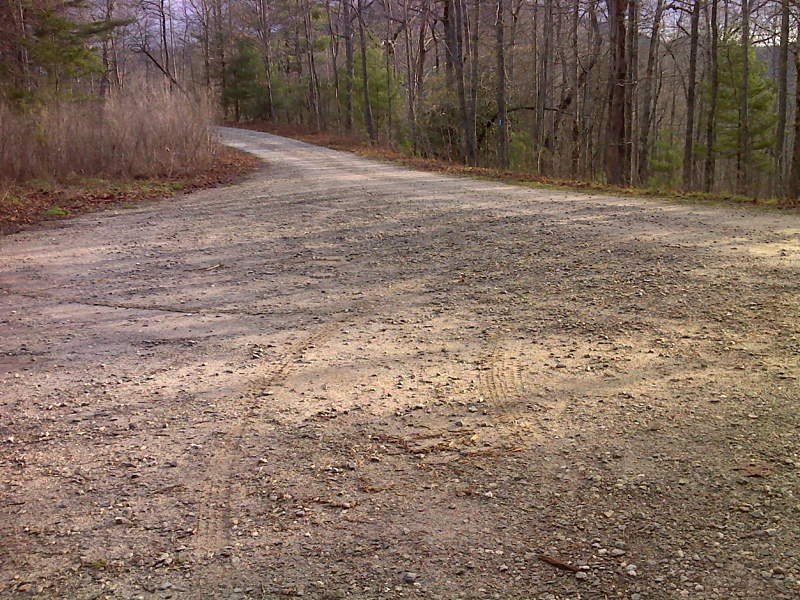
mm 14.0 Big parking area, decent gravel road, Indian Grave Gap. GPS N34.7930 W83.7143
Submitted by pjwetzel @ gmail.com