GA Section 12 Pictures - Milemarker 14.0 - 16.6
Indian Grave Gap - Unicoi Gap
Move your mouse across the pictures for more information.
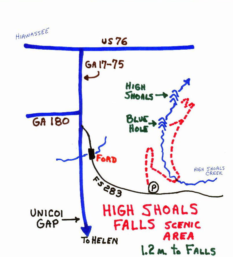
To reach Indian Grave Gap from the north, take USFS 283, passing a great hike to two waterfalls, to junction with USFS 79.
Submitted by elversonhiker @ yahoo.com

mm 14 Indian Grave Gap road and edge of parking area. Room for several vehicles.
Submitted by bakerasu @ gmail.com
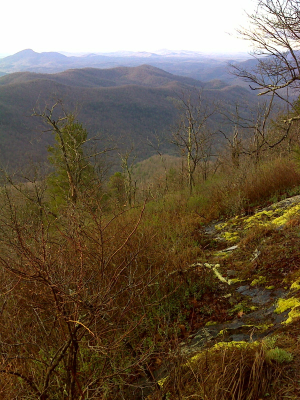
mm 15.1 Example of extensive exposed bedrock, Rocky Mountain summit. GPS N34.7977 W83.7266
Submitted by pjwetzel @ gmail.com
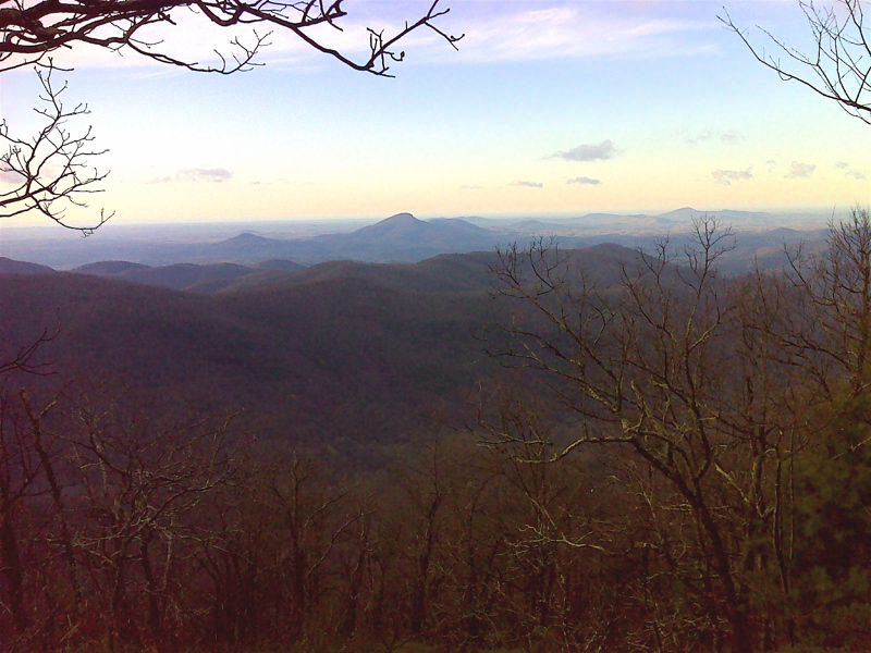
mm 15.3 Vista from summit of Rocky Mountain. GPS N34.7982 W83.7295
Submitted by pjwetzel @ gmail.com
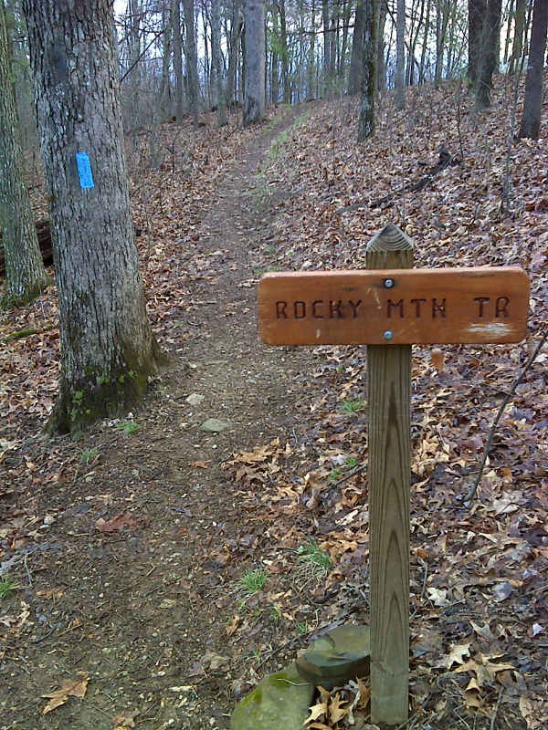
mm 15.7 Junction with Rocky Mt. Trail. GPS N34.8039 W83.7324
Submitted by pjwetzel @ gmail.com
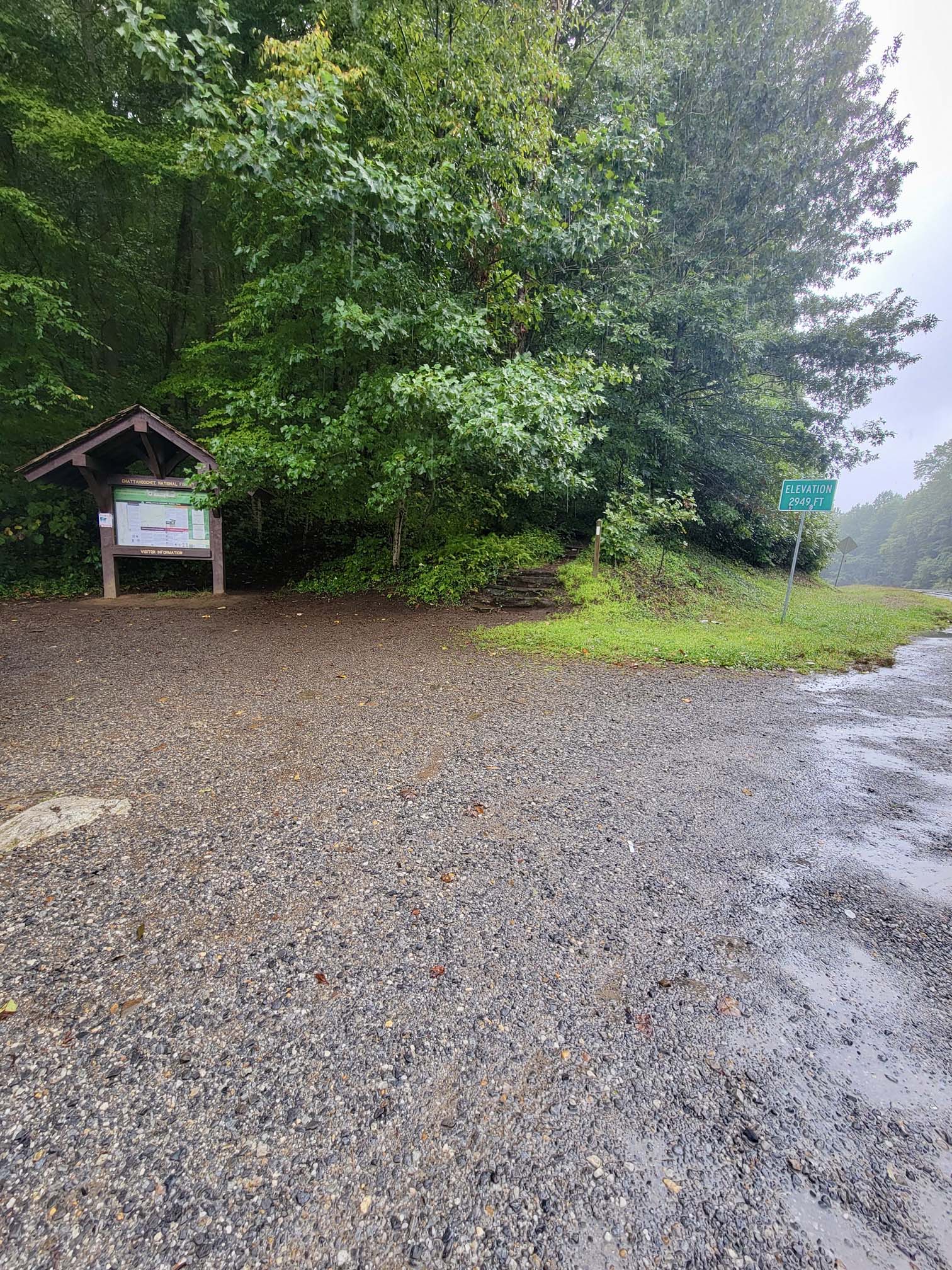
mm 16.6 Northbound AT Trailhead (next to kiosk) at Unicoi Gap
Submitted by Wardandda @ gmail.com
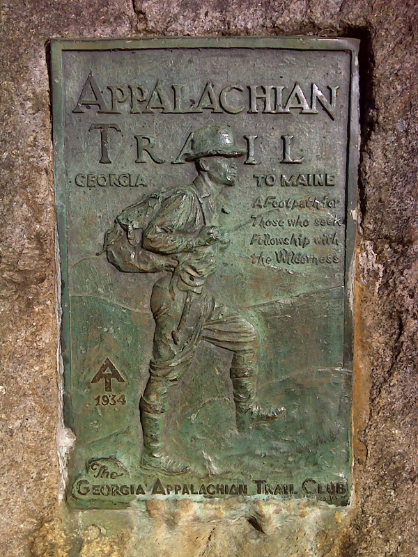
mm 16.6 George Noble Plaque at Unicoi Gap. This is identical to the one on top of Springer Mt. GPS N34.8105 W83.7429
Submitted by pjwetzel @ gmail.com