GA Section 13 Pictures - Milemarker 5.6 - 13.8
North of Low Gap - Hogpen Gap
Move your mouse across the pictures for more information.
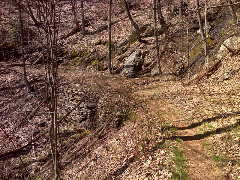
Cascade and rock work along old woods road walk north of Low Gap. GPS N34.8000 W8084
Submitted by pjwetzel @ gmail.com
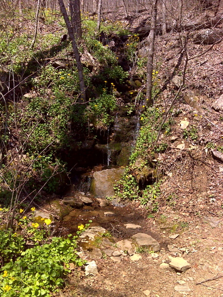
Spring bloom around cascade just north of Low Gap. GPS N34.7993 W8218
Submitted by pjwetzel @ gmail.com
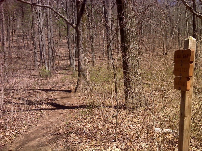
mm 9.4 Side trail to Low Gap Shelter. GPS N34.7767 W8261
Submitted by pjwetzel @ gmail.com
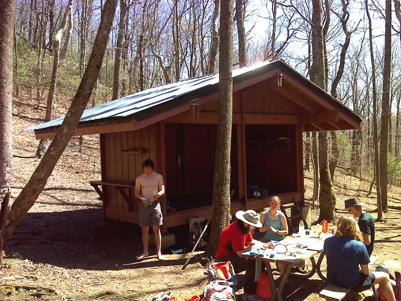
mm 9.4 Low Gap Shelter GPS N34.7663 W83.8247
Submitted by pjwetzel @ gmail.com
mm 13.8 Heading north on the AT from the Hogpen Gap parking area.
Submitted by commissar67 @ gmail.com
mm 13.8 The sign at Hogpen Gap showing the mileage to Low Gap, 4.4 miles and Unicoi Gap, 14 miles .
Submitted by commissar67 @ gmail.com
mm 13.8 looking back south toward the Hogpen Gap parking area.
Submitted by commissar67 @ gmail.com
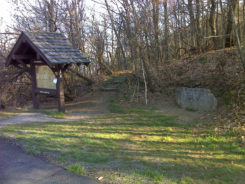
mm 13.8 Northbound AT leaves Hogpen Gap. GPS N34.7260 W 83.8399
Submitted by pjwetzel @ gmail.com