GA Section 13 Pictures - Milemarker 13.8 - 14.7
Hogpen Gap - Tesnatee Gap
Move your mouse across the pictures for more information.
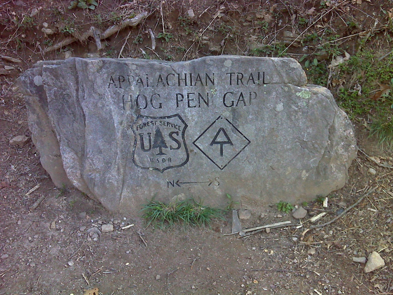
mm13.8 Engraved Boulder at Hogpen Gap. GPS N34.7260 W 83.8399
Submitted by pjwetzel @ gmail.com
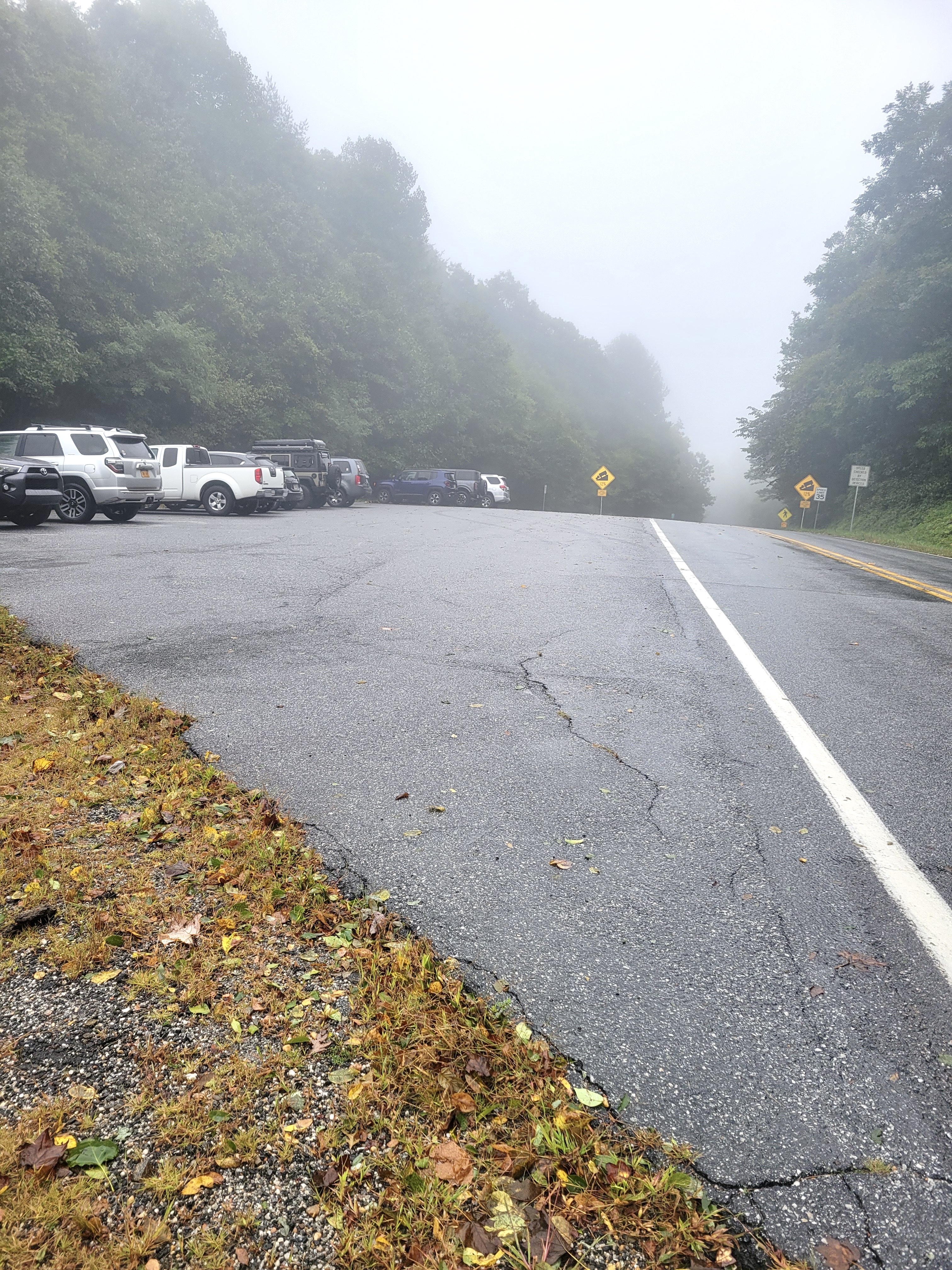
mm 13.8 Parking area at Hogpen Gap.
Submitted by cabincellars@yahoo.com
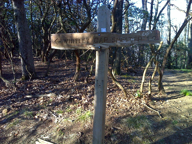
mm 14.0 Sign at junction with trail to Whitley Gap Shelter. It is 1.2 miles to the shelter. There are some excellent views along the route. GPS N34.7248 W 83.8411
Submitted by pjwetzel @ gmail.com
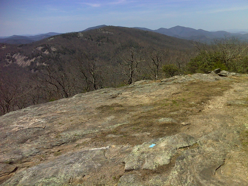
mm 14.0 View of Cowrock Mtn from summit of Wildcat Mtn, side trail to Whitley Gap Shelter. GPS N34.7178 W83.8388
Submitted by pjwetzel @ gmail.com
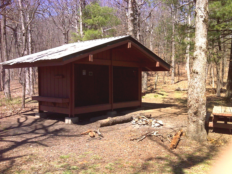
mm 14.0 Whitley Gap Shelter. GPS N34.7126 W83.8344
Submitted by pjwetzel @ gmail.com
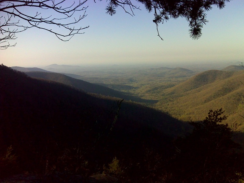
mm 14.2 Vista point, ascending Wildcat Mt. GPS N34.7255 W83.8431
Submitted by pjwetzel @ gmail.com
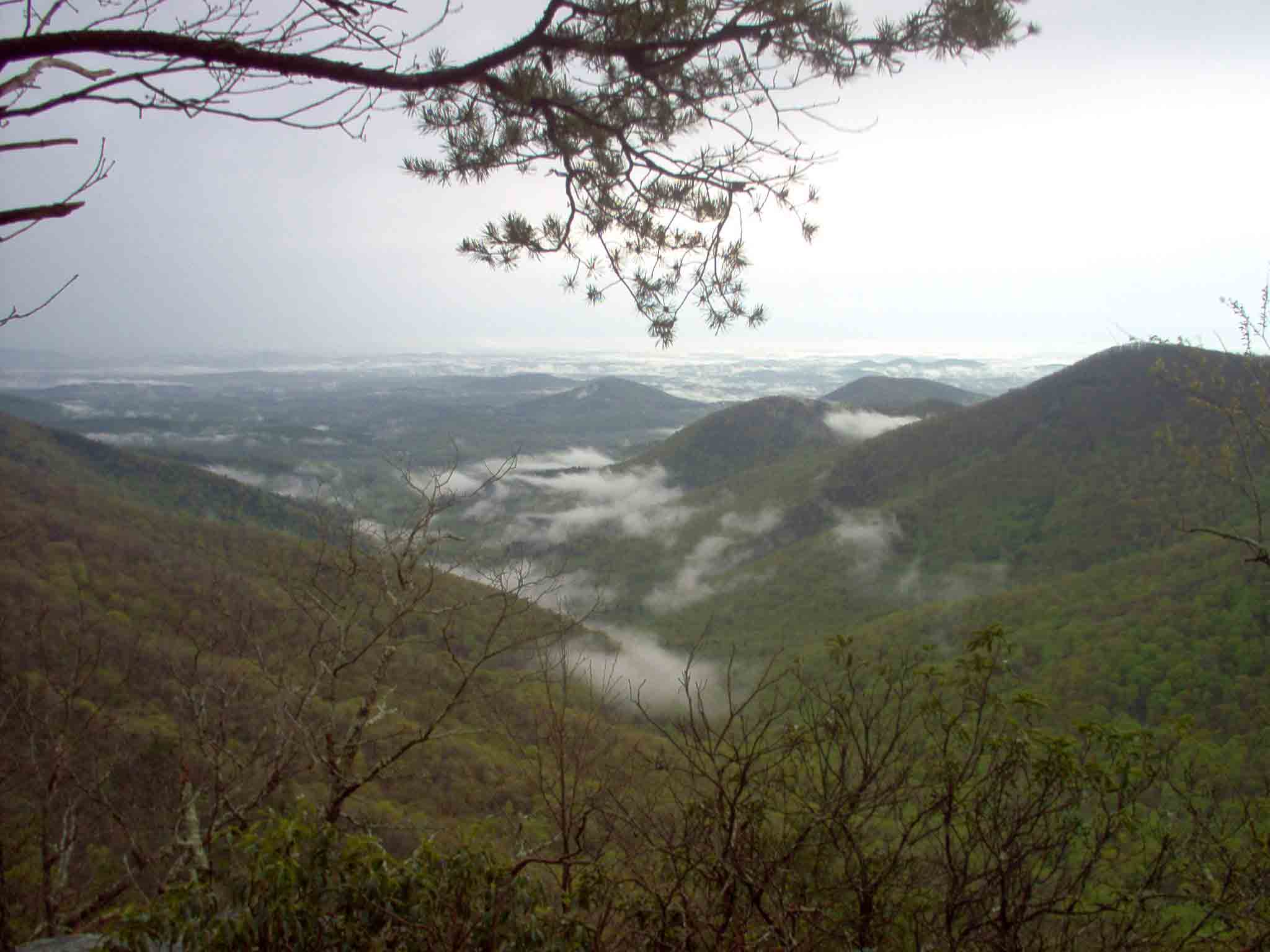
mm 14.0 - Taken NOBO in April just after Tesnatee Gap on the summit of the next mountain, Wildcat Mt. It was right after a T-Shower.
Submitted by gree2250 @ bellsouth.net
mm 14.7 Looking north on the AT at Tesnatee Gap.
Submitted by commissar67 @ gmail.com