GA Section 13 Pictures - Milemarker 14.7
Tesnatee Gap
Move your mouse across the pictures for more information.
mm 14.7 Tesnatee Gap sign showing the 0.9 miles to Hogpen Gap.
Submitted by commissar67 @ gmail.com

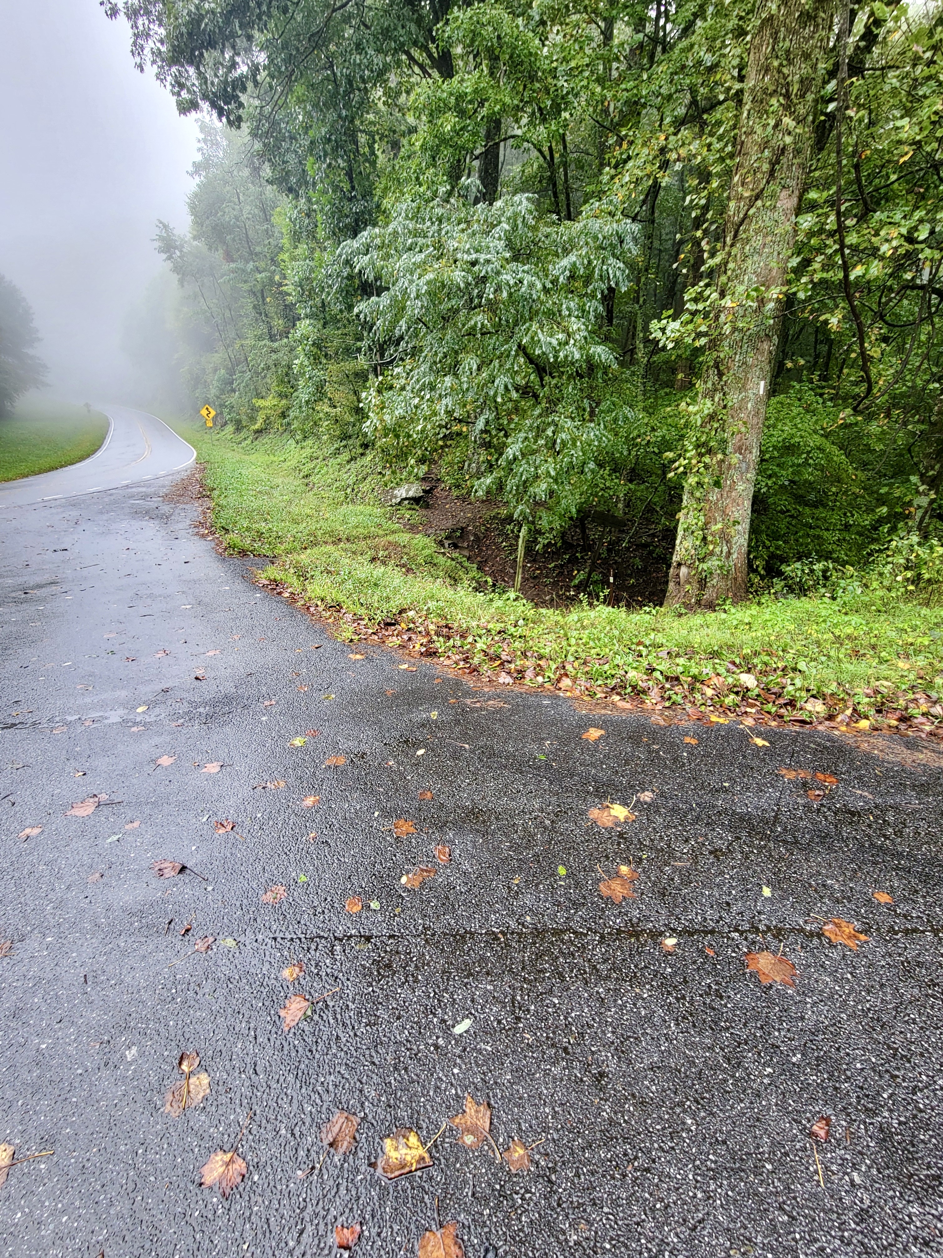
mm 14.7 Northbound trailhead at Tesnatee Gap parking area
Submitted by cabincellars@yahoo.com

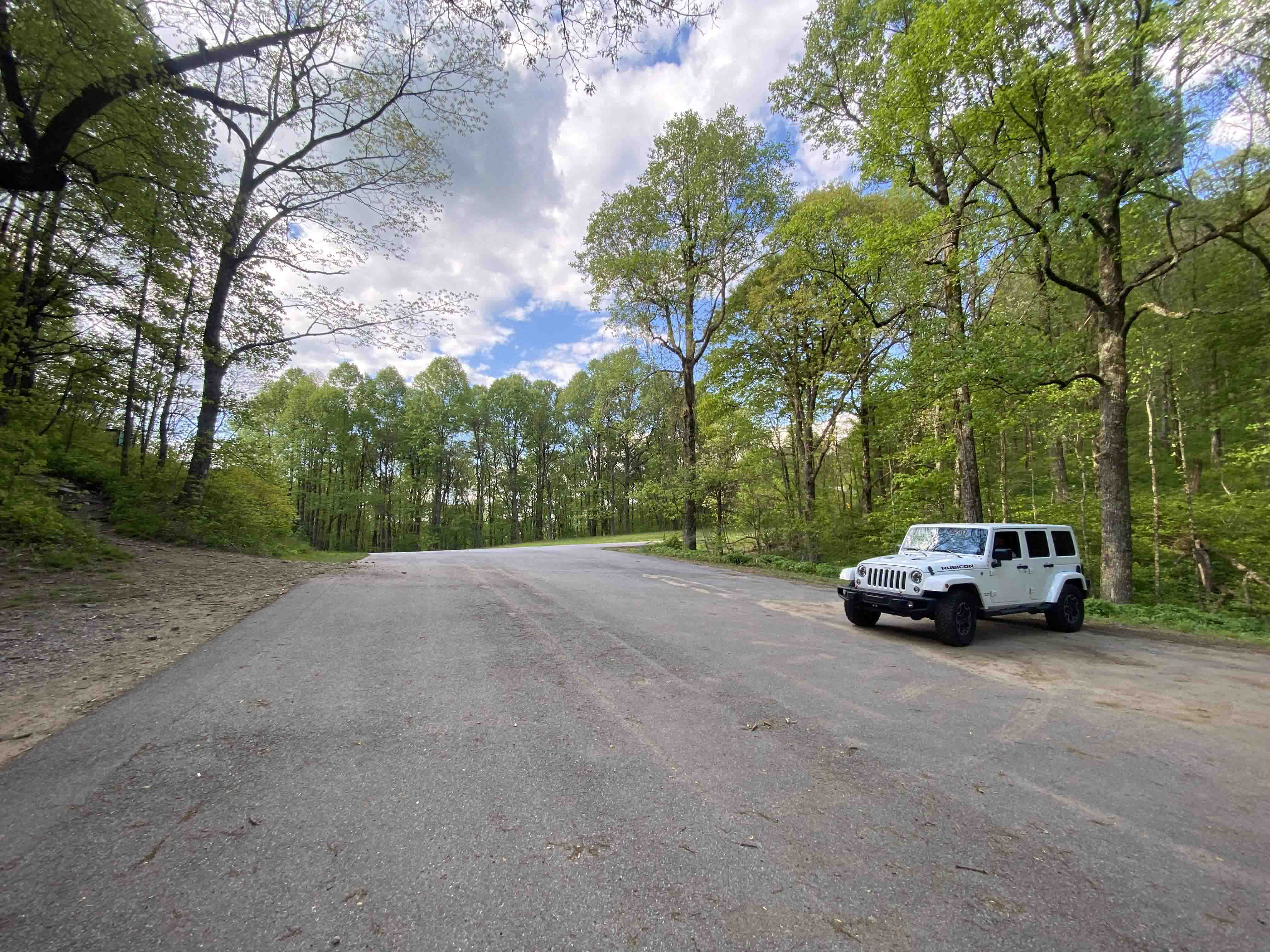
mm 14.7 Plenty of parking at Tesnatee Gap. View of parking area looking out towards the Russell Scenic Highway. The Russell Scenic Highway is heavily traveled and paved.
Submitted by bakerasu @ gmail.com

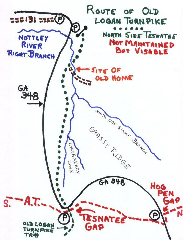
At Tesnatee Gap there is a trail to the south, a very decrepit sign may still be visable, for the LOGAN TURNPIKE TRAIL. This is a two mile steep downhill to a parking area, showing the hardships of mtn travel in olden days.
Map also shows a way to bushwack north through forest to eventually hook up with remains of road at USFS 131.
Submitted by elversonhiker @ yahoo.com
mm 14.7 The Logan Turnpike Trail, part of the old road, where it crosses the AT at Tesnatee Gap.
Submitted by commissar67 @ gmail.com