GA Section 14 Pictures - Milemarker 0.0 - 2.1
Tesnatee Gap - Wolf Laurel Top
Move your mouse across the pictures for more information.
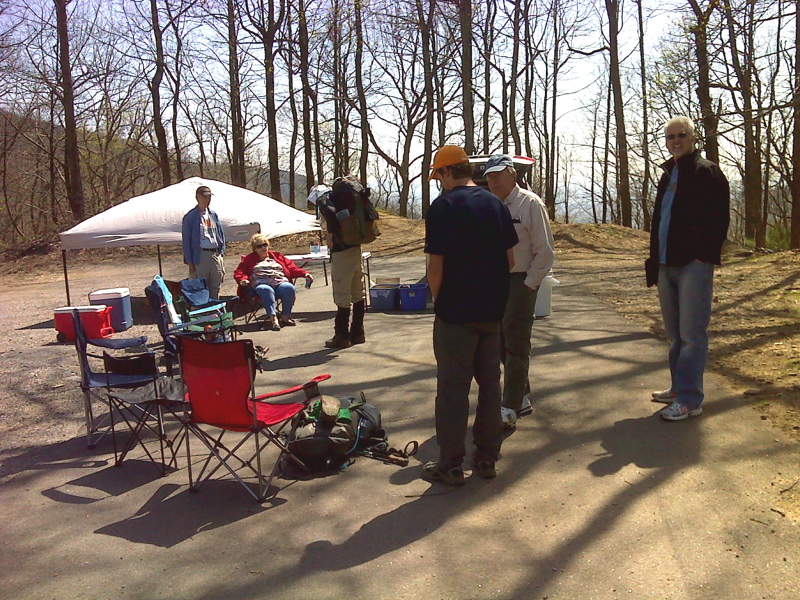
mm 0.0 Trail Angels set up at Tesnatee Gap, King Tutt at right.GPS N34.7264 W83.8475
Submitted by pjwetzel @ gmail.com
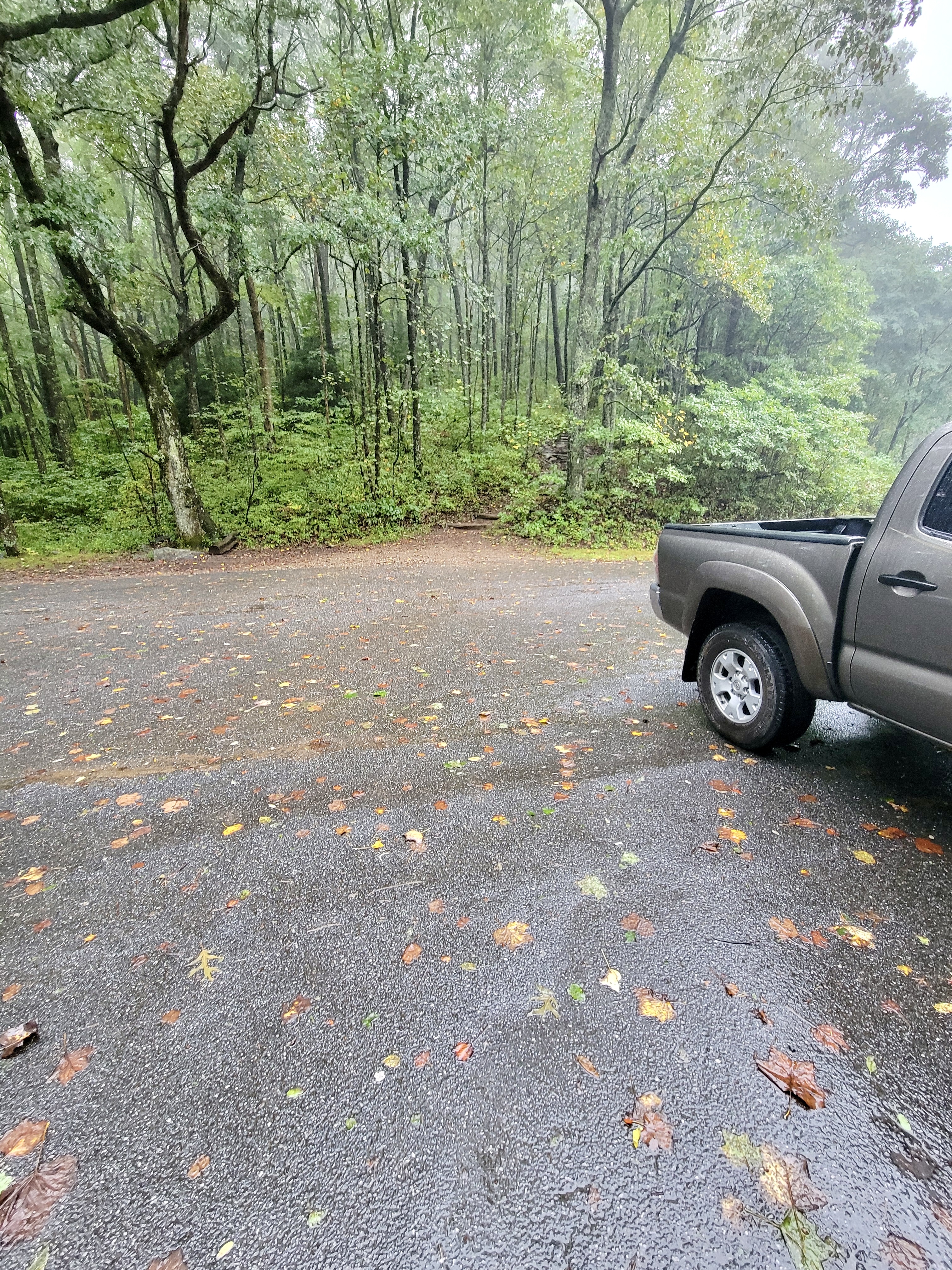
mm 0.0 Southbound trailhead at Tesnatee Gap parking area
Submitted by cabincellars@yahoo.com
mm 0.0 Descending north on the AT toward the Tesnatee Gap parking area with sign showing the 5.5 miles to Neels Gap.
Submitted by commissar67 @ gmail.com
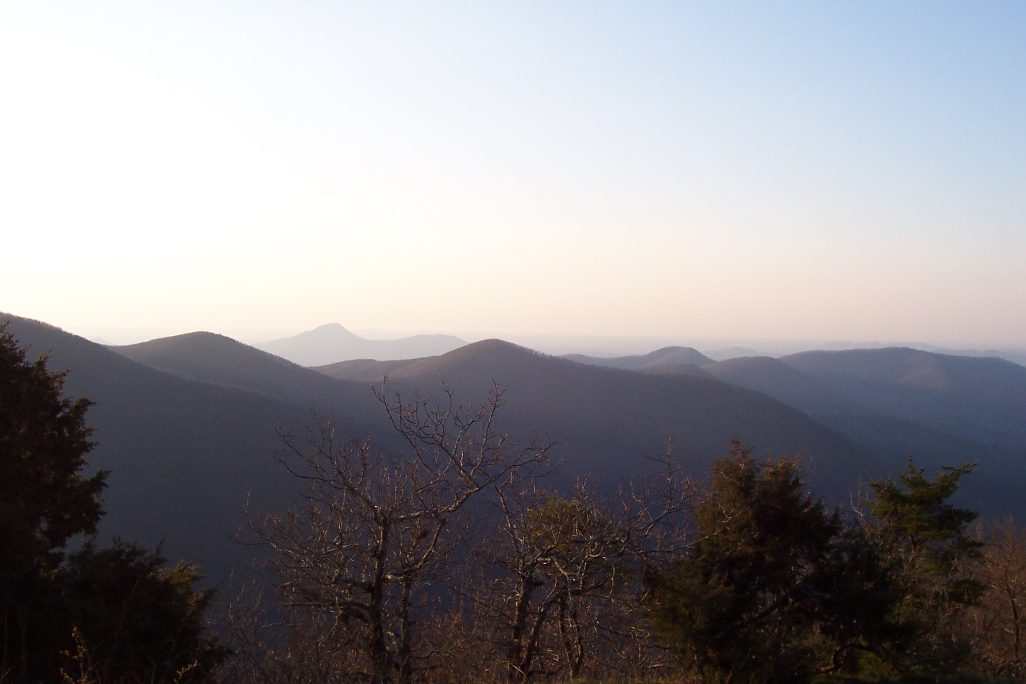
mm 0.8 View from CowRock Mtn looking southeast.
Submitted by wbmcp @ hotmail.com
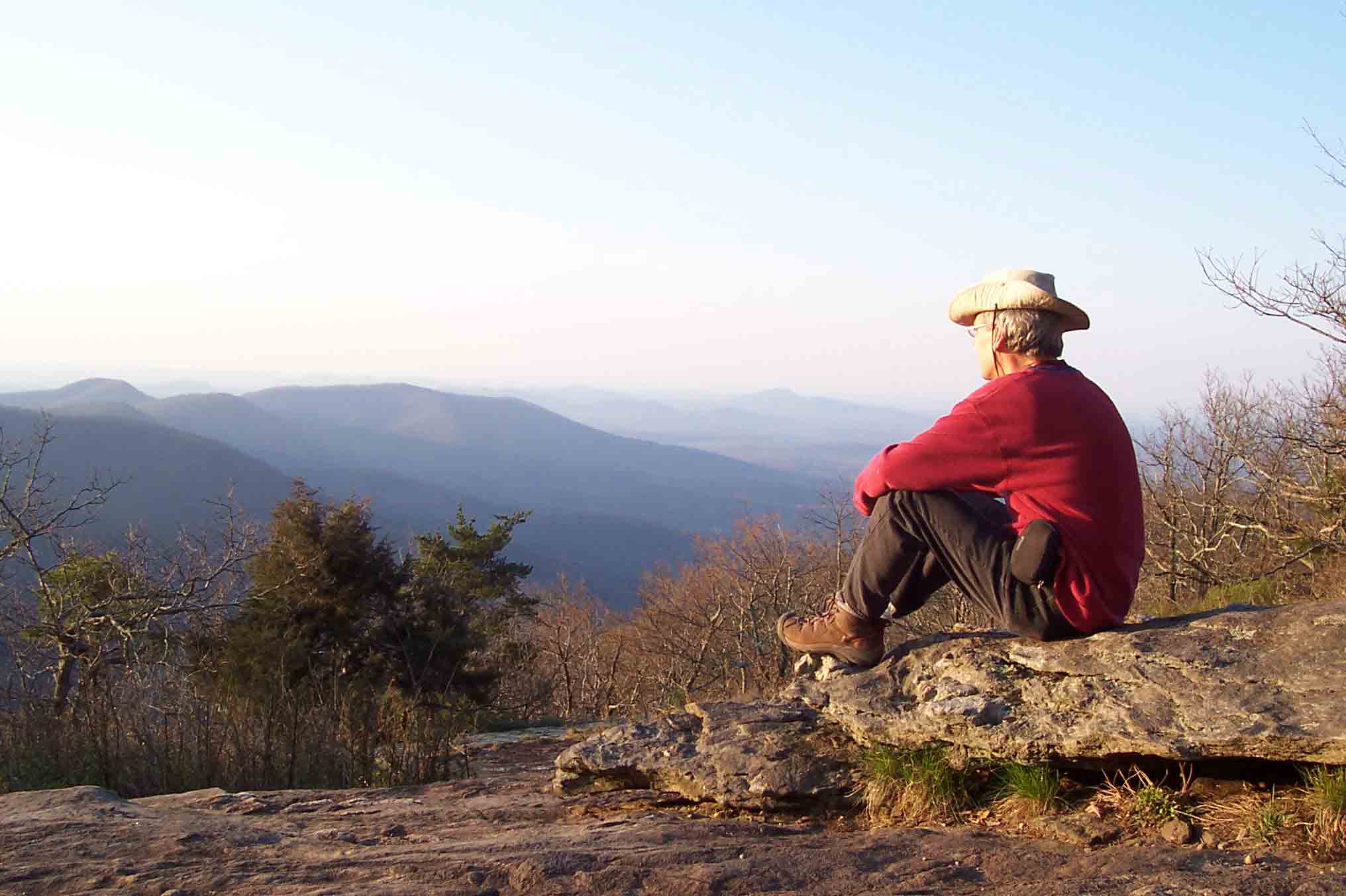
mm 0.8 Nimble near the top of CowRock Mtn looking south.
Submitted by wbmcp @ hotmail.com
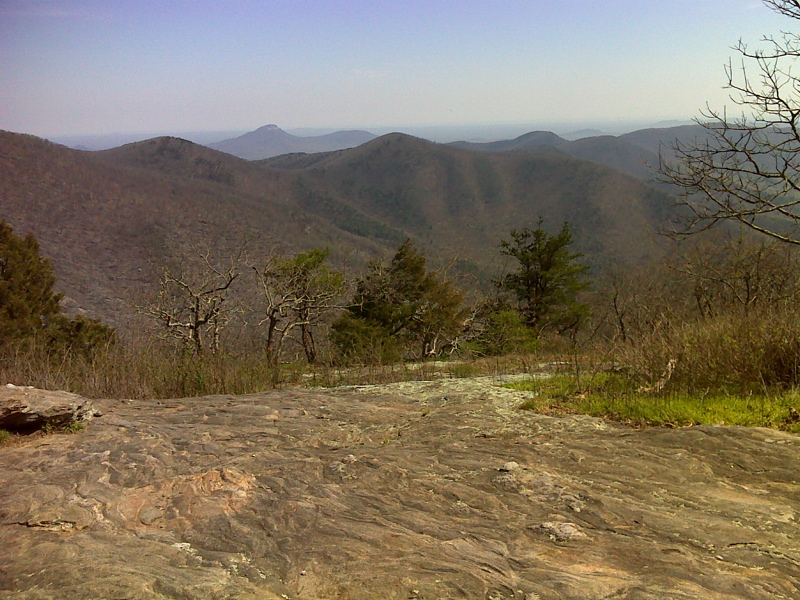
mm 0.8 View from summit of Cowrock Mt. GPS N34.7216 83.8560
Submitted by pjwetzel @ gmail.com
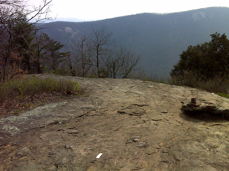
mm 0.8 View from near summit of Cowrock Mt. GPS N34.7216 83.8565
Submitted by pjwetzel @ gmail.com
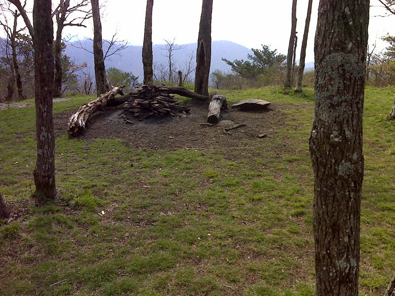
mm 2.1 Camping area, parklike grassy setting, Wolf Laurel Top. GPS N34.7272 83.8748
Submitted by pjwetzel @ gmail.com