GA Section 15 Pictures - Milemarker 2.4 - 3.6.6
Blood Mt. - Woods Hole Shelter
Move your mouse across the pictures for more information.
'Blood Mountain Shelter was once called the TEA ROOM for Vogel State Park. It was reached by equestrian trails from the park.
Submitted by elversonhiker @ yahoo.com

To the right of the Blood Mountain Shelter one can look north and see the highest point in Georgia, Brasstown Bald.
Submitted by commissar67 @ gmail.com

The summit of Blood Mountain with geographical marker.
Submitted by commissar67 @ gmail.com

mm 2.8 Junction with Duncan Ridge Trail on upper slopes of Blood Mt. GPS N34.7420 W83.9413
Submitted by pjwetzel @ gmail.com

mm 3.3 Trail jct. with Slaughter Creek Trail by water source, lower slopes of Blood Mt. This is trail south of the summit. GPS N34.7407 W83.9442
Submitted by pjwetzel @ gmail.com

Hand drawn map showing Jarrad Gap Trail and Slaughter Creek Trail LOOP starting at Winfield Scott Lake using the AT for part of the hike. AT was relocated away from Slaughter Gap recently because of over use by hikers
Submitted by elversonhiker @ yahoo.com

mm 3.6 Bird Gap. Trail junction with the side trail to Woods Hole Shelter. It is 0.5 miles to the shelter. GPS N34.7270 W83.9484
Submitted by pjwetzel @ gmail.com

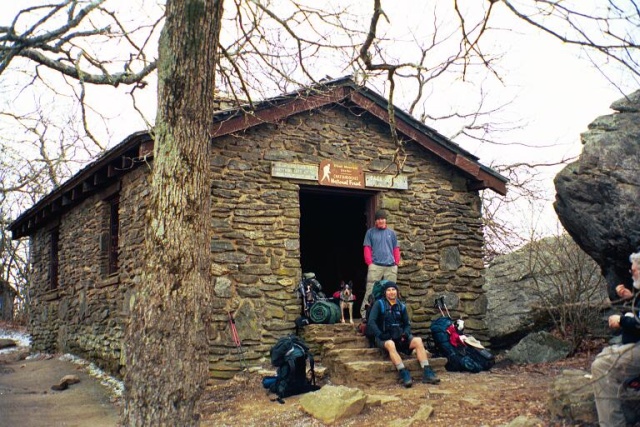
mm 3.6 Woods Hole Shelter.GPS N34.7372 W83.9549
Submitted by pjwetzel @ gmail.com