GA Section 15 Pictures - Milemarker 5.0 - 10.6
Jarrad Gap- Woody Gap
Move your mouse across the pictures for more information.
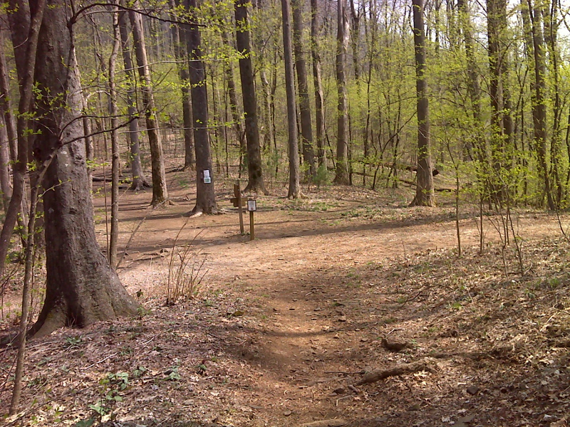
mm 5.0 Looking northbound on the AT in Jarrad Gap. The Jarrad Gap Trail leads 1 mile from here to Lake Winfield Scott. GPS N34.7264 W83.9653
Submitted by pjwetzel @ gmail.com
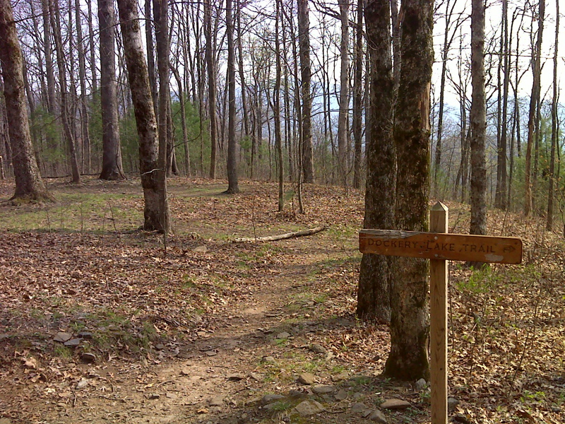
mm 7.7 Junction with the Dockery Lake Trail in Miller Gap. GPS N34.6937 W83.9889
Submitted by pjwetzel @ gmail.com
To reach Miller Gap and DOCKERY LAKE Trail northern terminus by way of GA route 180 east of Suches.
Submitted by elversonhiker @ yahoo.com
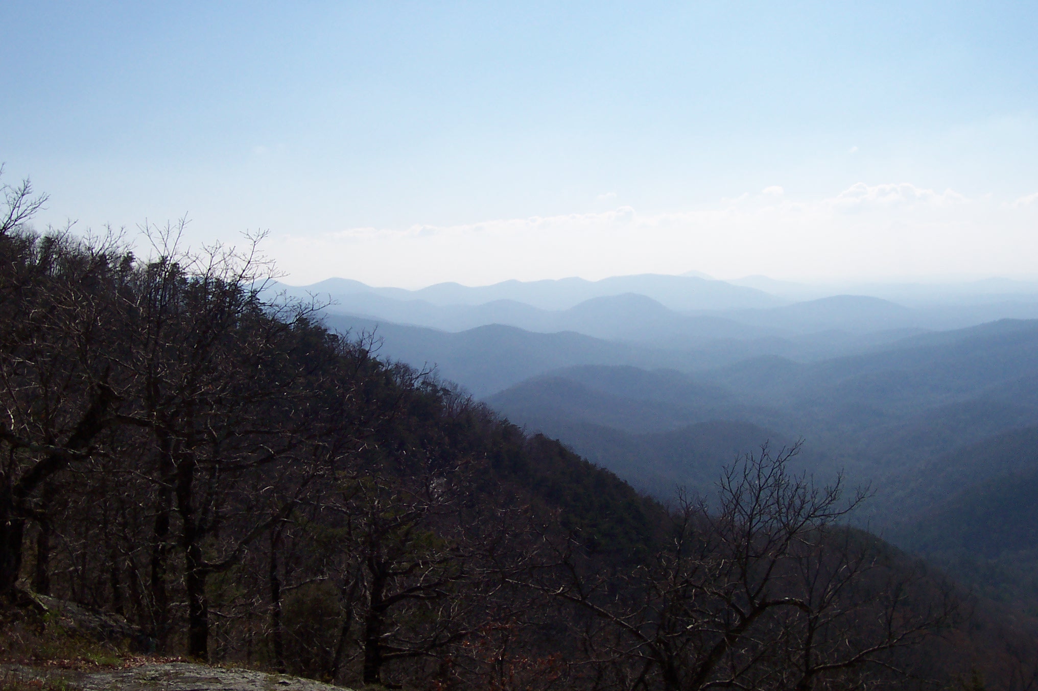
mm 9.6 From Big Cedar Mtn. Looking southeast.
Submitted by wbmcp @ hotmail.com
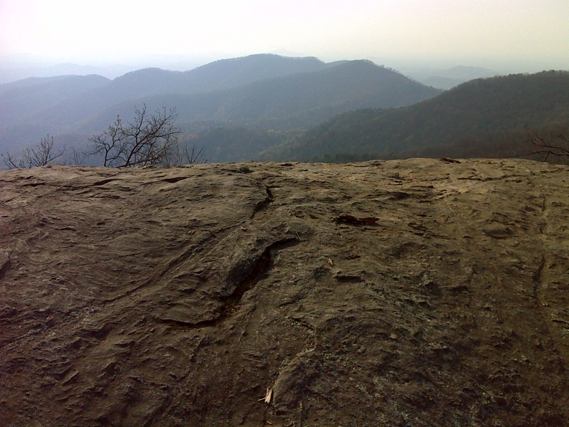
mm 9.6 Vista from Big Cedar Mt. GPS N34.8872 W83.9941
Submitted by pjwetzel @ gmail.com
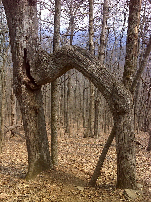
Two Trunk Tree on slopes of Big Cedar Mt. GPS N34.6937 W83.9889
Submitted by pjwetzel @ gmail.com
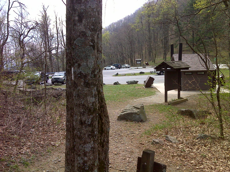
mm 10.6 The southbound trail approaches Woody Gap where there are facilities and extensive parking. GPS N34.6781 W83.9994
Submitted by pjwetzel @ gmail.com
mm 10.6 The sign at Woody Gap looking north on the AT showing the miles to Jarrard Gap, Blood Mt. and Neels Gap.
Submitted by commissar67 @ gmail.com