GA Section 16 Pictures - Milemarker 9.9 - 11.9
South Slope of Sassafras Mt. - Hightower Gap
Move your mouse across the pictures for more information.
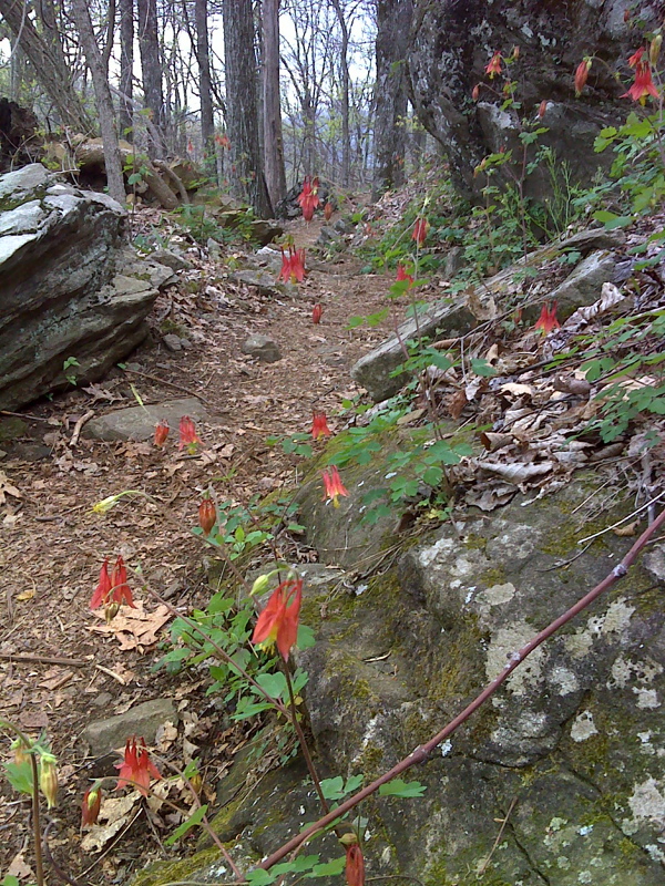
Columbine, south slopes of Sassafras Mountain. GPS N34.6536 N84.1031
Submitted by pjwetzel @ gmail.com
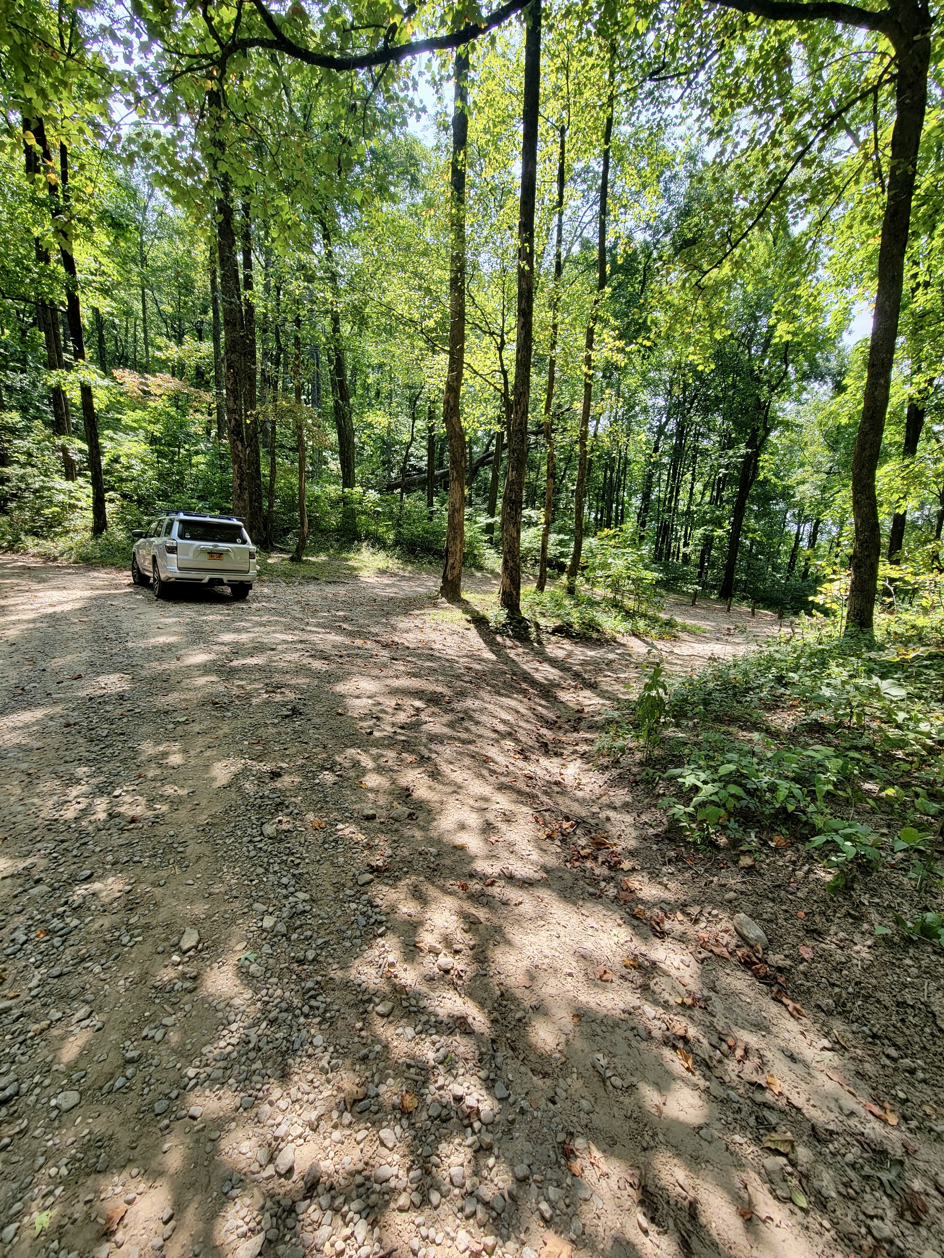
mm 10.0 Horse Gap parking area. Zoom in on the right side of image to see wooden posts marking where AT goes alongside back of parking area.
Submitted by cabincellars@yahoo.com
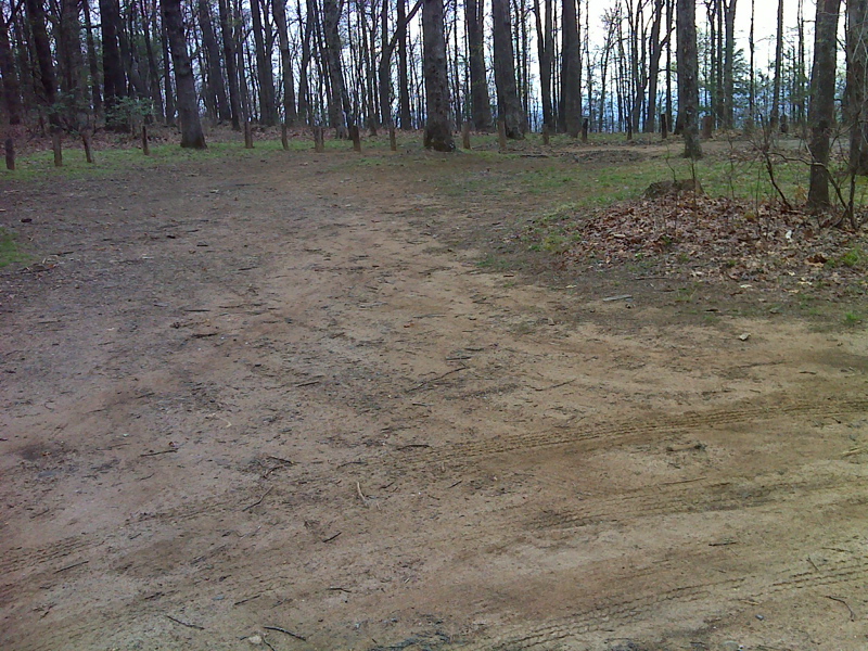
Parking on USFS 42, 50yd side trail to AT, 0.6 miles west of Horse Gap. GPS N34.6583 N84.1151 (as of 2024 this area may no longer be present)
Submitted by pjwetzel @ gmail.com
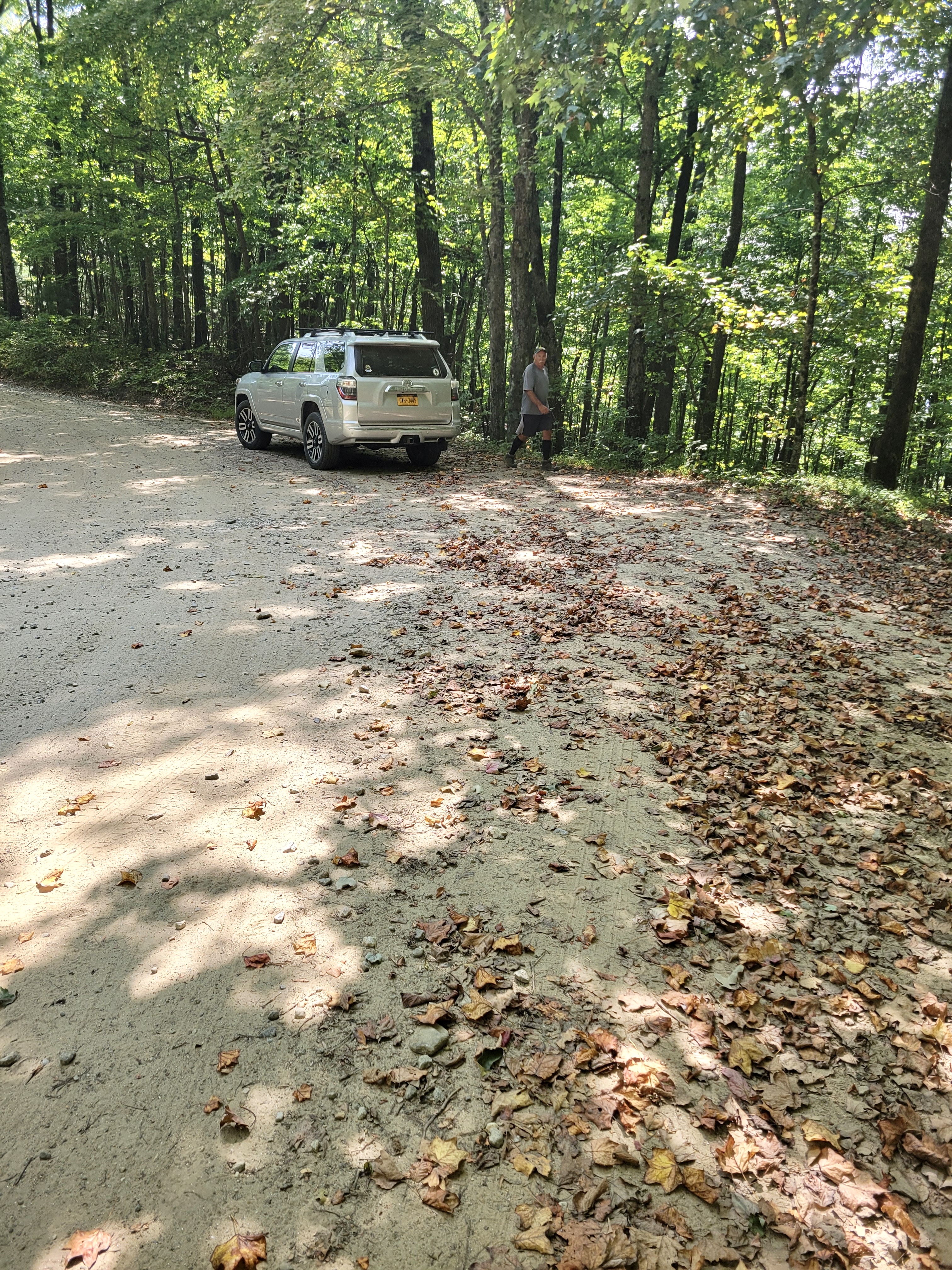
Pull-off parking on FS 42 for 2-3 cars 1.5 miles west of Horse Gap. Approximate location 34.662255, -84.123441
Submitted by cabincellars@yahoo.com
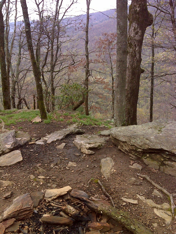
Campsite, summit 0.8 mi north of Hightower Gap. GPS N34.6604 N84.1190
Submitted by pjwetzel @ gmail.com
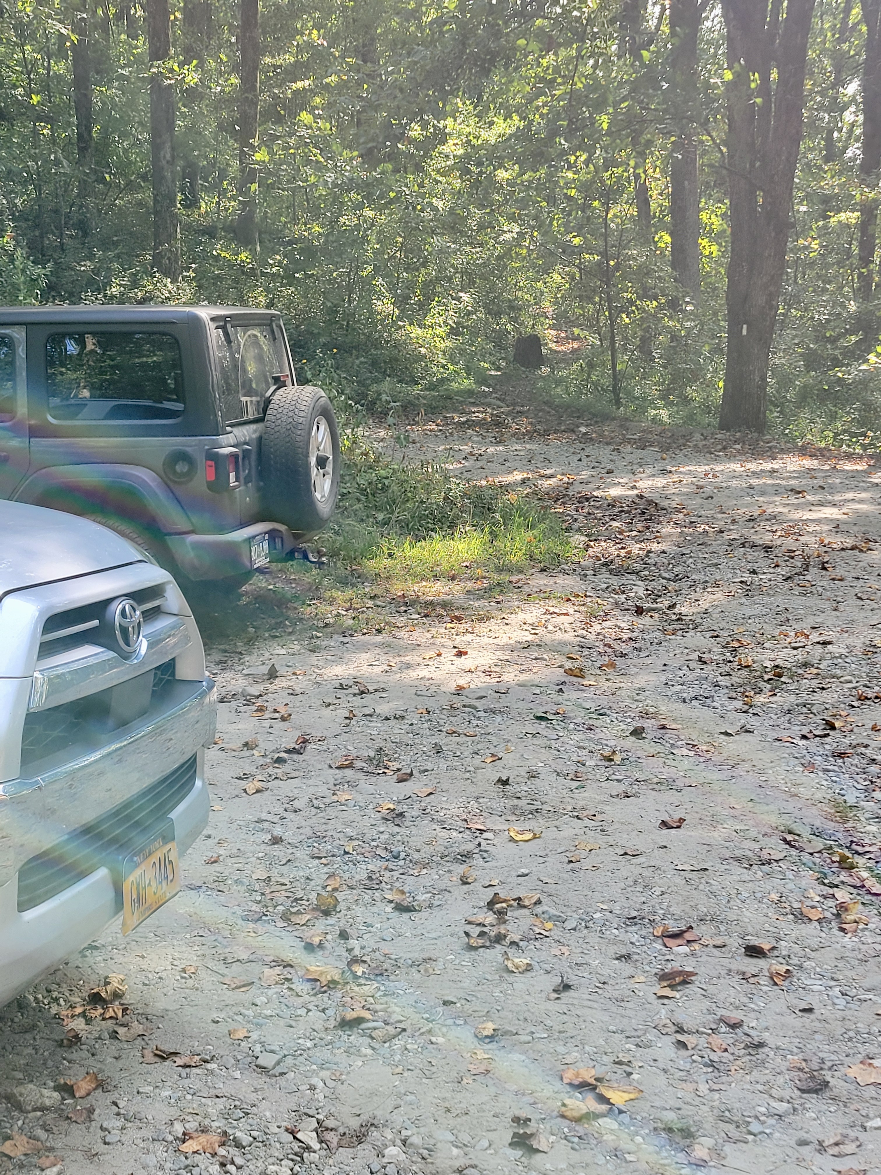
mm 11.9 Northbound trailhead at Hightower Gap.
Submitted by cabincellars@yahoo.com
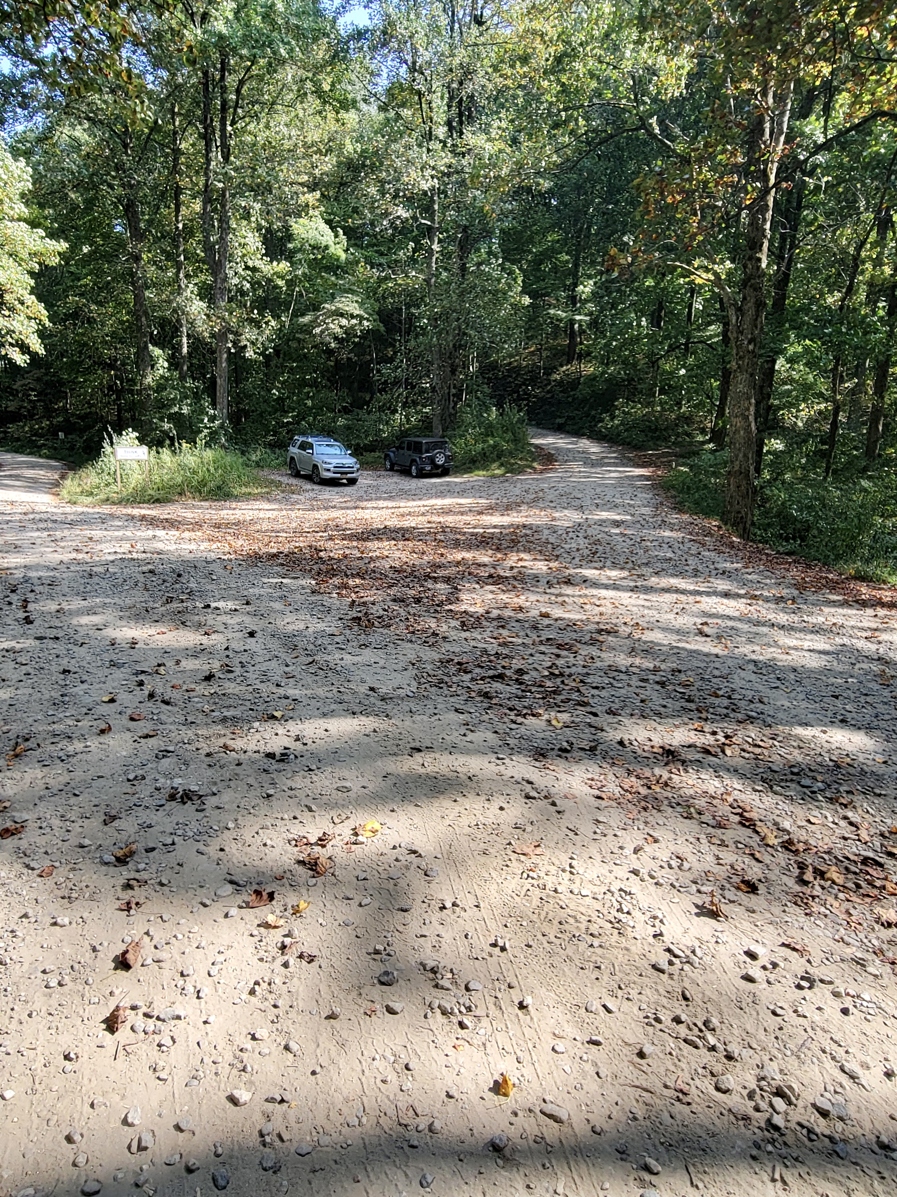
mm 11.9 Hightower Gap. Note the small parking area. Roadside parking is also possible. The road to the left is USFS 69. USFS 42 is the road to the right.
Submitted by cabincellars@yahoo.com