GA Section 17 Pictures - Milemarker 2.4 - 3.4
Road to Hickory Flats Cemetery - Long Creek Falls
Move your mouse across the pictures for more information.
mm 2.4 Stone monument near the crossing of the road to Hickory Flats Cemetery (USFS 251).
Submitted by dlcul @ conncoll.edu
mm 2.4 Parking near the crossing of the road to Hickory Flats Cemetery.
Submitted by dlcul @ conncoll.edu

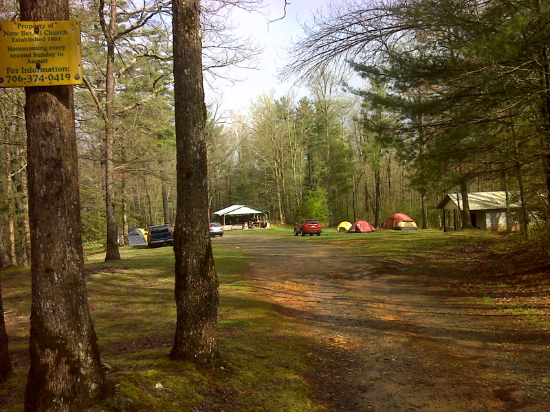
mm 2.4 Hickory Flats Cemetery and camping pavilion. Once on the AT, it is 0.2 miles away at the end of USFS 251. GPS N34.6667 W84.1619
Submitted by pjwetzel @ gmail.com
mm 2.4 Field just west the crossing of the road to Hickory Flats Cemetery.
Submitted by dlcul @ conncoll.edu
mm 2.4 Looking east (trail north) from the pine grove just west of the crossing of the road to Hickory Flats Cemetery.
Submitted by dlcul @ conncoll.edu
mm 3.4 Junction of the AT, the Benton MacKaye Trail Duncan Ridge Trail and the side trail to Long Creek Falls. The AT and Benton MacKaye Trail intersect five times in this section. I have pictures of most of these junctions. I will list them as junctions 1 to 5 going south to north. Junction 1 is the southern terminus of the Benton Mackaye Trail. The junction in this picture would be junction 5. The BMT and AT coincide from here south to Three Forks.
Submitted by dlcul @ conncoll.edu
mm 3.4 Sign at the intersection with the Long Creek Falls side trail.
Submitted by dlcul @ conncoll.edu

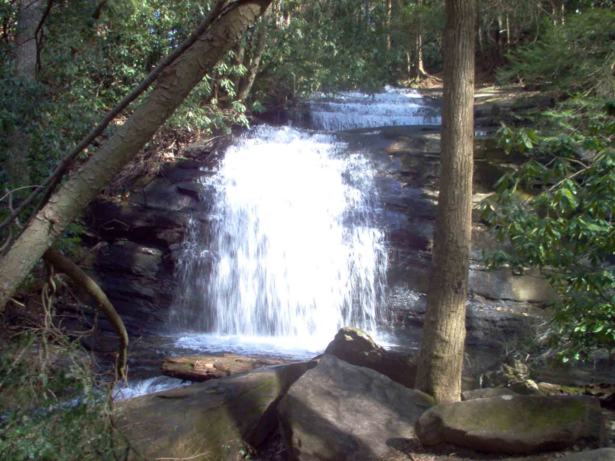
mm 3.4 Long Creek Falls just north of Three Forks. Reached by a 0.1 mile blue-blazed trail from the AT.
Submitted by gree2250 @ bellsouth.net