GA Section 17 Pictures - Milemarker 5.7 - 7.0
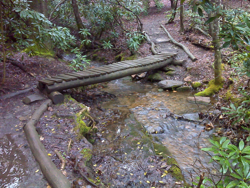
Western (Trail South) Crossing of Stover Creek - First footbridge N of Springer Parking Lot
Move your mouse across the pictures for more information.
mm 5.7 Stone steps just north of the second crossing of Stover Creek. At the top of this climb, the northbound trail turns north and joins an old road.
Submitted by dlcul @ conncoll.edu
mm 5.8 Junction with the side trail to Stover Creek Shelter
Submitted by dlcul @ conncoll.edu
mm 5.8 Stover Creek Shelter. As of 2011, this was the newest shelter in Georgia
Submitted by dlcul @ conncoll.edu
mm 5.6 Stover Creek Shelter.
Submitted by dlcul @ conncoll.edu
Fall color near the crossing of a small stream at mm 6.2
Submitted by dlcul @ conncoll.edu
The AT crosses a small stream at mm 6.2.
Submitted by dlcul @ conncoll.edu
mm 6.7 The AT reaches the ridge crest of Rich Mt. Junction 3 with the Benton Mackaye Trail is here.
Submitted by dlcul @ conncoll.edu

mm 7.0 First footbridge north of Springer Mt. parking area on USFS 42. GPS N 34.6487 W84.1979
Submitted by pjwetzel @ gmail.com