GA Section 17 Pictures - Milemarker 7.3 - 8.2
Junction 2 Benton MacKaye Trail - View from Slopes of Springer Mt.
Move your mouse across the pictures for more information.
mm 7.3 Junction 2 with the Benton Mackaye Trail.
Submitted by dlcul @ conncoll.edu
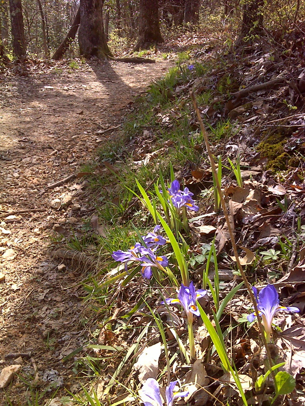
Trailside wild Iris, near Springer trailhead. GPS N34.6382 W84.1924
Submitted by pjwetzel @ gmail.com
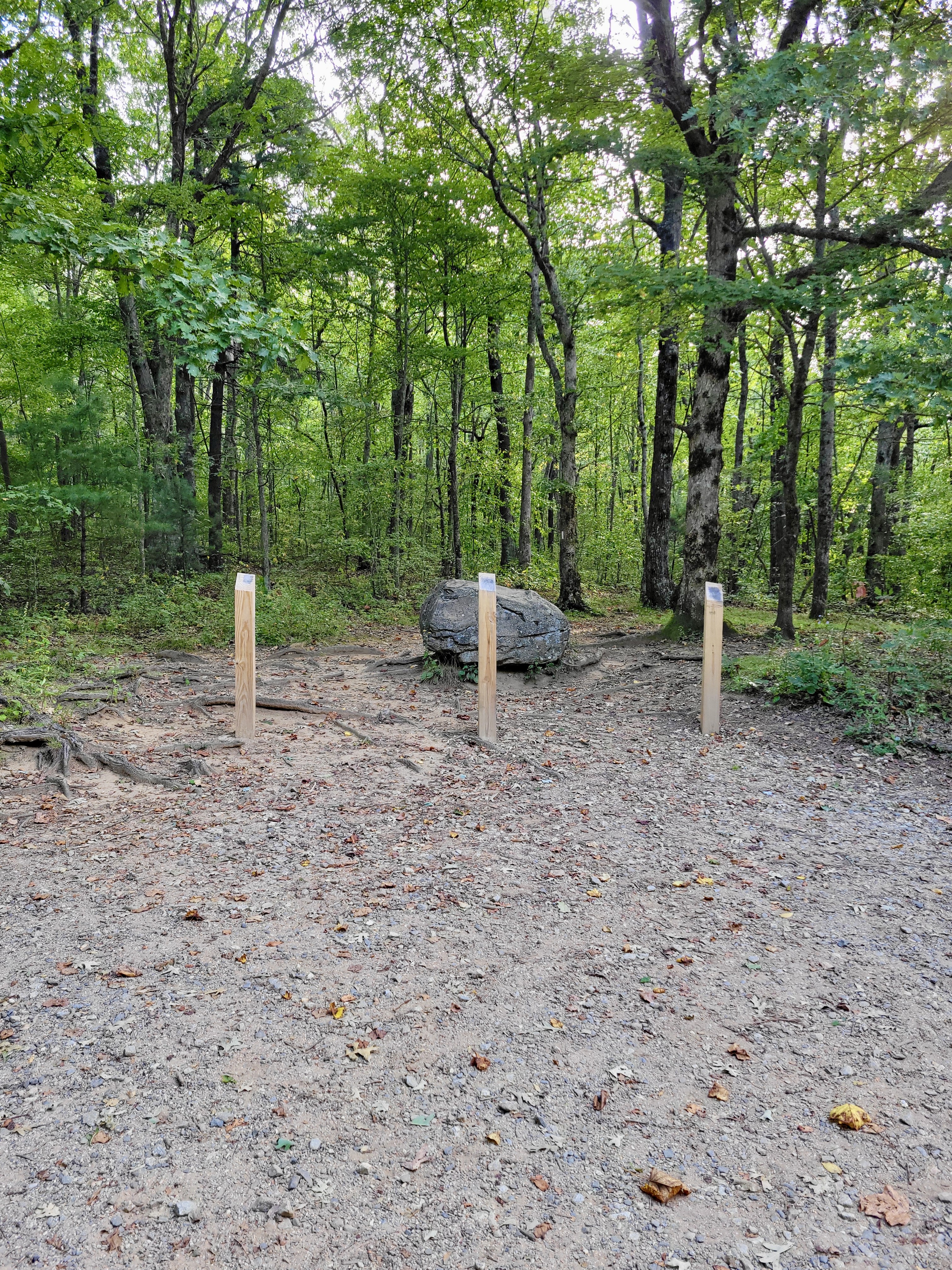
mm 7.6 The northbound trail leaves the Springer Mt. parking lot on USFS 42.
Submitted by cabincellars@yahoo.com
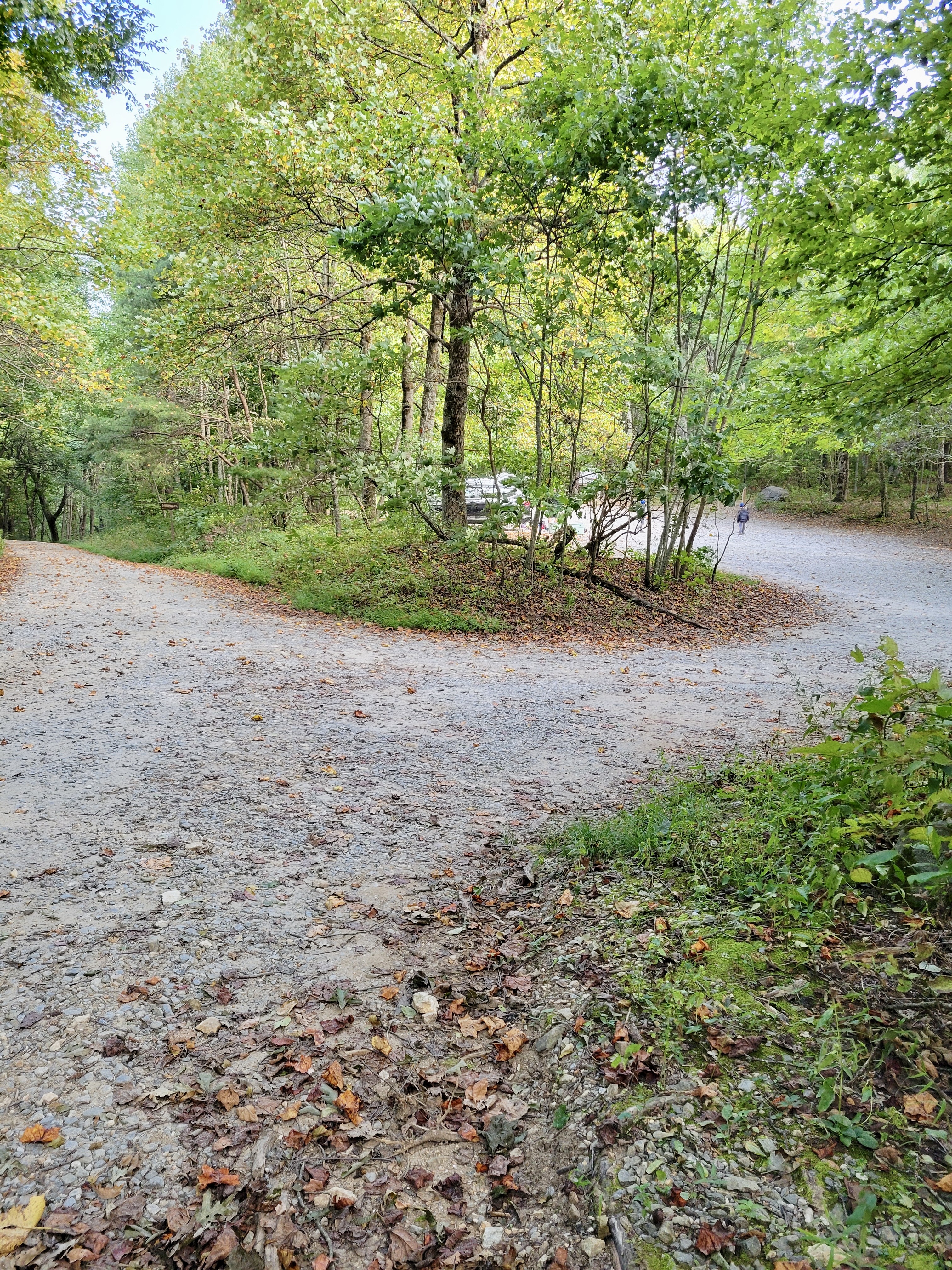
mm 7.6 turn off from USFS 42 into Springer Mountain parking lot
Submitted by cabincellars@yahoo.com
mm 7.6 Springer Mt. parking lot on USFS 42.
Submitted by dlcul @ conncoll.edu
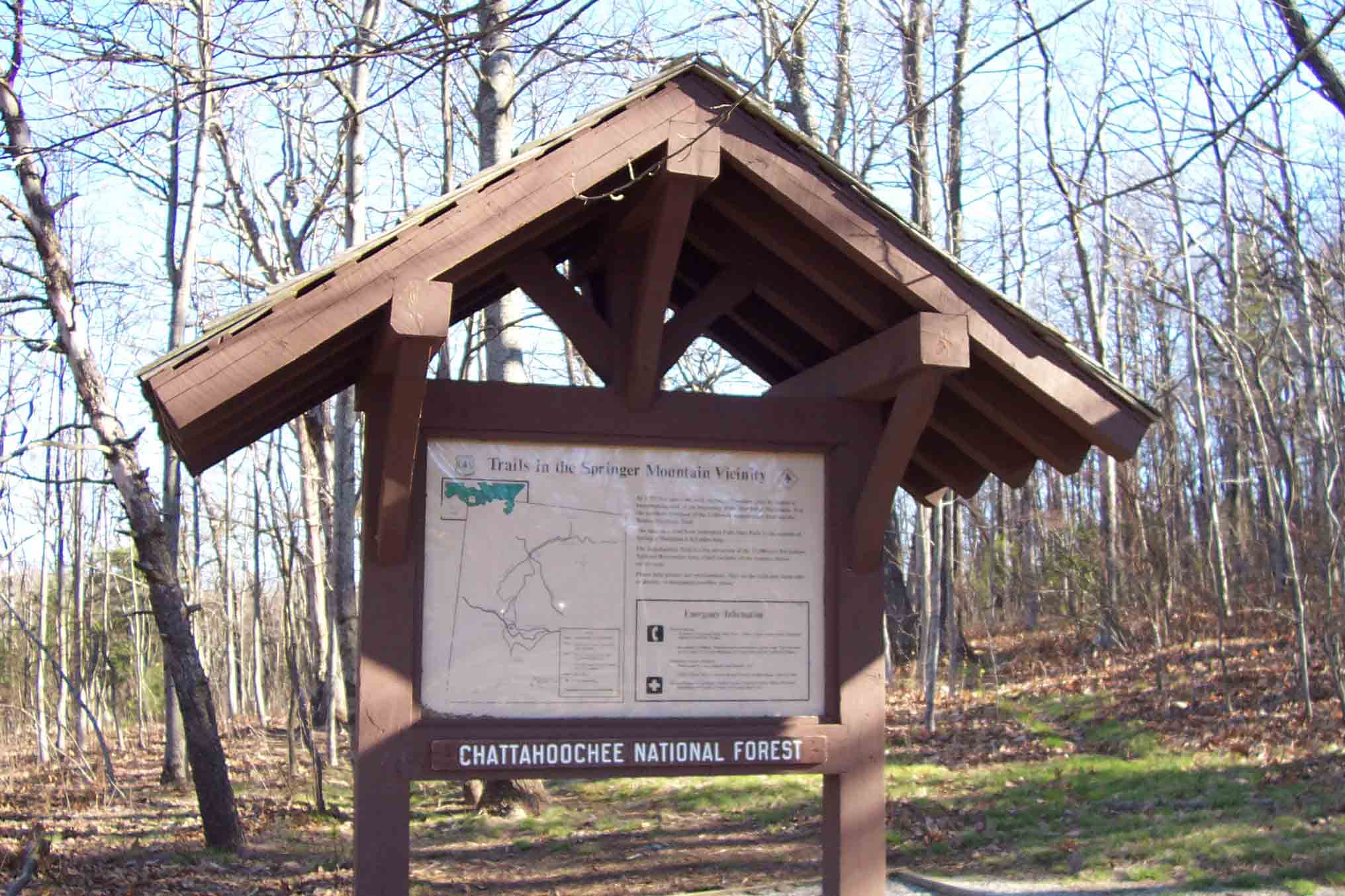
mm 7.6 Billboard in the parking lot one mile north of the southern terminus of the AT.
Submitted by wbmcp @ hotmail.com
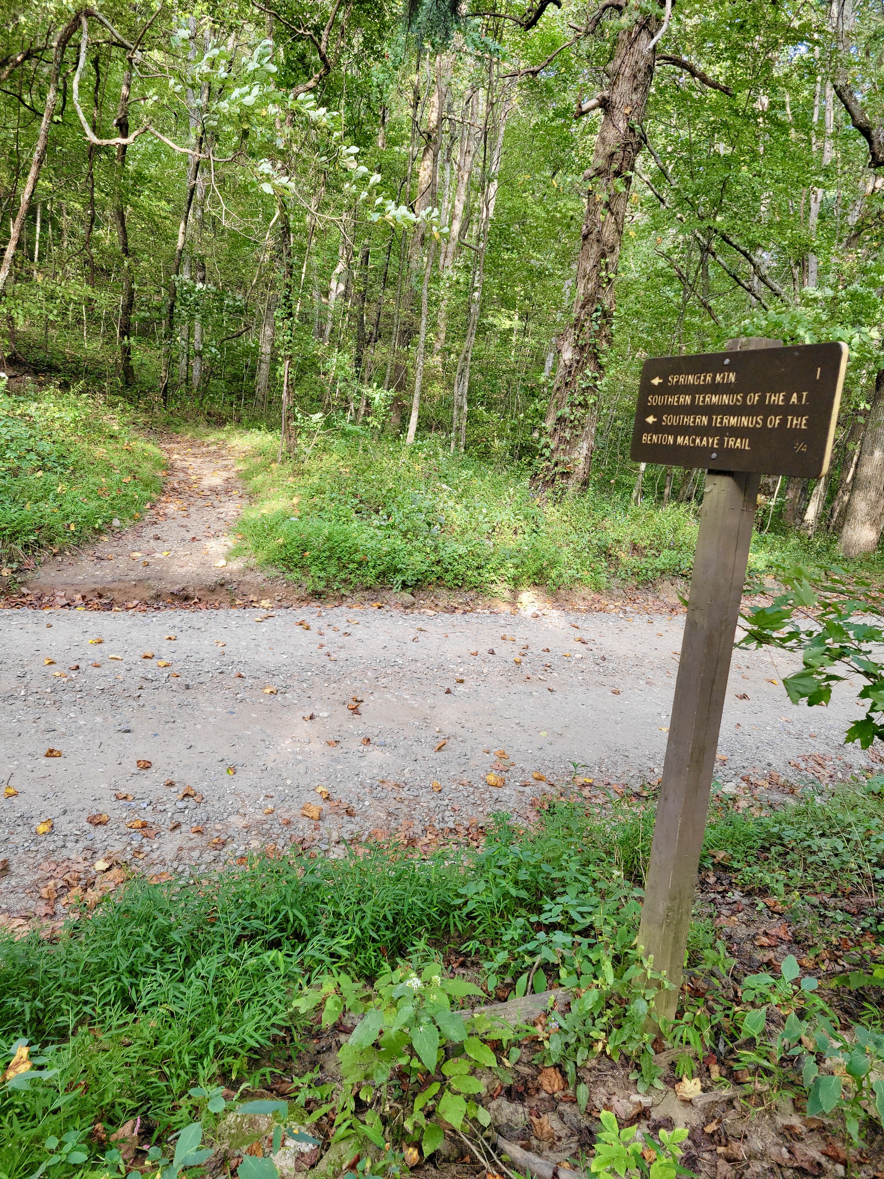
mm 7.6 Trail sign as the southbound trail leaves the Springer Mt. Parking area on USFS 42. Imagine if you were a southbound thru-hiker who has hiked 2180 miles and you saw this sign telling you had less than a mile to go to Springer, the southern terminus of the AT.
Submitted by cabincellars@yahoo.com
View to the west at approx. mm 8.2
Submitted by dlcul @ conncoll.edu