GA Approach Trail Pictures - Milemarker 8.8
Vicinity of Visitor Center at Amicalola Fals State Park
Move your mouse across the pictures for more information.
mm 8.8 The rock monument to the AT just past the arch that is the starting point of the approach trail.
Submitted by commissar67 @ gmail.com

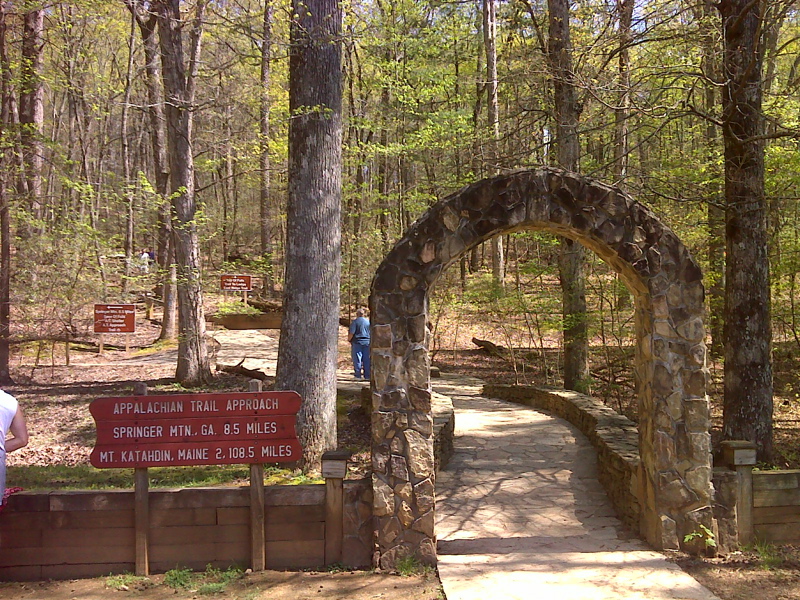
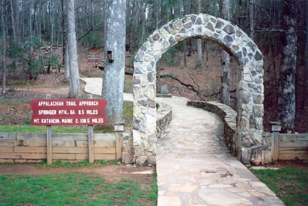
mm 8.8 Start of Approach Trail to Springer Mt. and AT behind Visitor Center, mileages are wrong. GPS N34.5577 W84.2492
Submitted by pjwetzel @ gmail.com

The beginning of the approach trail in Amicalola State Park in Georgia. The trail is eight miles from the southern terminus.
Submitted by elversonhiker @ yahoo.com

mm 8.8 Amicalola Falls State Park Visitor Center. GPS N34.5580 W84.2498
Submitted by pjwetzel @ gmail.com
mm 8.8 The Georgia Historical Marker for the AT located in front of the Visitors Center at Amicalola Falls State Park.
Submitted by commissar67 @ gmail.com

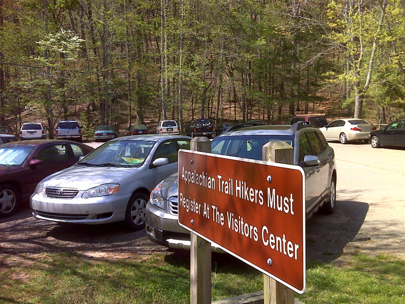
mm 8.8 AT hikers long term parking lot across from Visitor Center. GPS 34.5582 W84.2498
Submitted by pjwetzel @ gmail.com