MA Section 1 Pictures - Milemarker 0.0 - 1.7
VT/MA State Line - Lower End Bad Weather Bypass
Move your mouse across the pictures for more information.
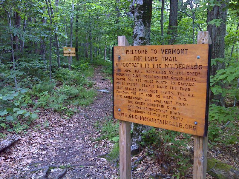
mm 0.0 VT-MA state line. North of here the AT and the Long Trail coincide for 100 miles.
Submitted by pjwetzel @ gmail.com
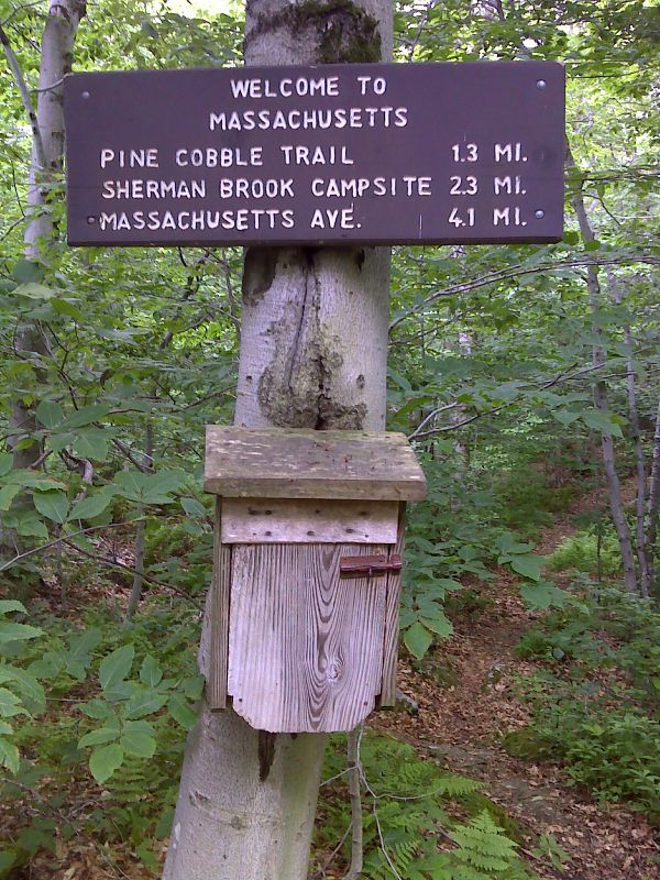
mm 0.0 Welcome to Massachusetts sign and trail register at border with Vermont. GPS N42.7437 W73.1556
Submitted by pjwetzel @ gmail.com
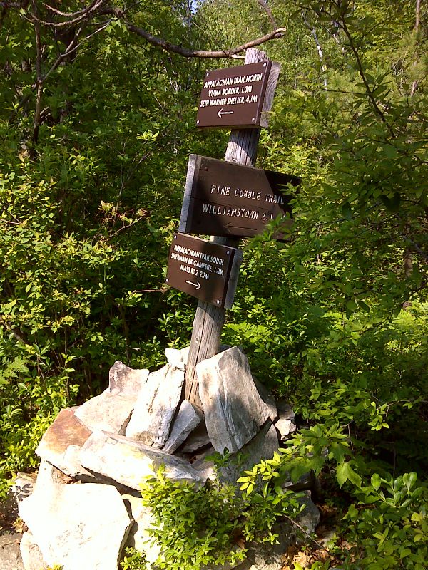
mm 1.3 Junction with the Pine Cobble Trail. GPS N42.7272 W73.1610
Submitted by pjwetzel @ gmail.com
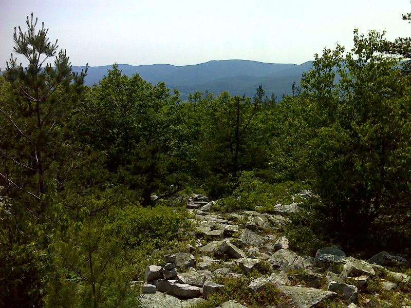
mm 1.3 View from Pine Cobble Trail 100 feet west of AT. GPS N42.7270 W73.1612
Submitted by pjwetzel @ gmail.com

mm 1.5 View from top of steep section south of the Pine Cobble Trail. Southbound the AT descends over rocks. A bad-weather bypass starts here to avoid this section. GPS N42.7261 W73.1584
Submitted by pjwetzel @ gmail.com

mm 1.5 Trailside mountain laurel. GPS 42.7261 W73.1583
Submitted by pjwetzel @ gmail.com
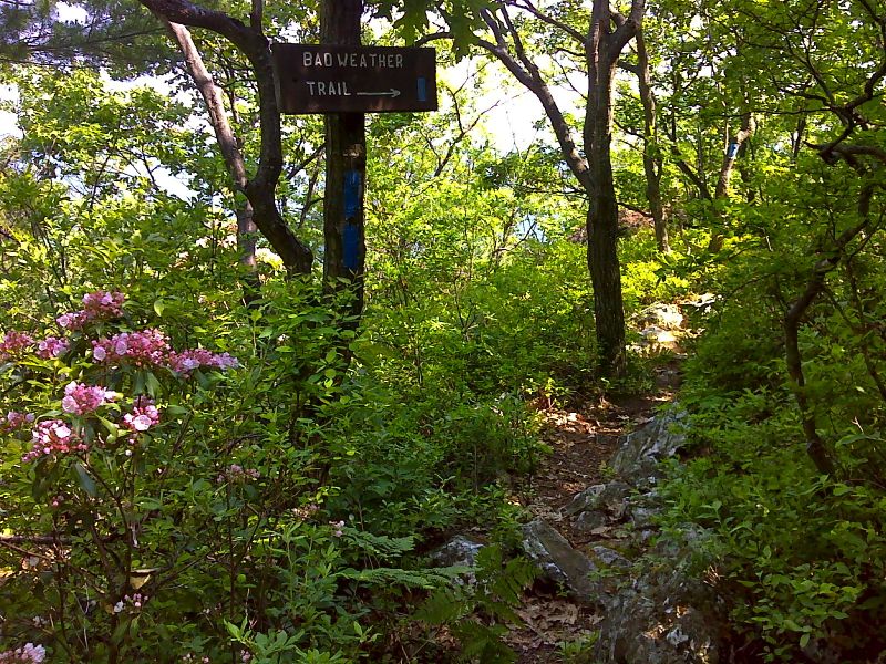
mm 1.5 Upper end of the blue-blazed bad weather bypass trail. GPS N42.7262 W73.1586
Submitted by pjwetzel @ gmail.com
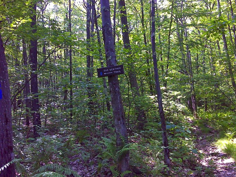
mm 1.7 Lower end of the blue-blazed bad weather bypass trail. GPS N42.7262 W73.1586
Submitted by pjwetzel @ gmail.com