MA Section 10 Pictures - Milemarker 3.9 - 4.6
Guilder Pond - Mt. Everett
Move your mouse across the pictures for more information.
mm 3.9 Guilder Pond Parking Area has space for a lot of cars, but is closed at night. There is a privy, picnic tables, and (sometimes) trail magic. Northbound AT is the same as the blue-blazed trail near the privy.
Submitted by MalteseCross @ Comcast.net
mm 3.9 Guilder Pond Parking Area has picnic tables which (sometimes) have trail magic. The southbound AT is to the right of the sign, up the trail (or dirt road) to the top of Mount Everett.
Submitted by MalteseCross @ Comcast.net
mm 3.9 The southbound AT leaves the Guilder Pond parking area and begins the final ascent of Mt. Everett.
Submitted by dlcul @ conncoll.edu
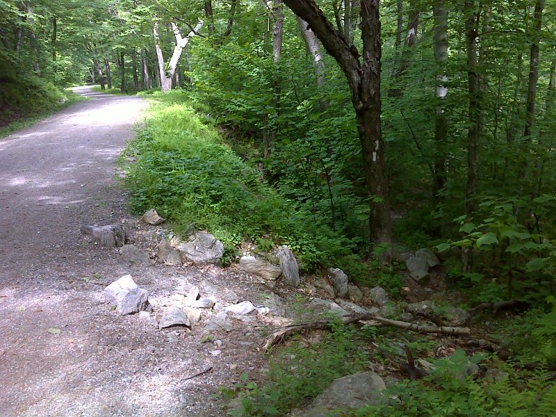
mm 4.0 The southbound trail reaches the Mt. Everett summit road (gated). The trail soon leaves the road but closely parallels it towards the summit. GPS N42.1060 W 73.4344
Submitted by pjwetzel @ gmail.com
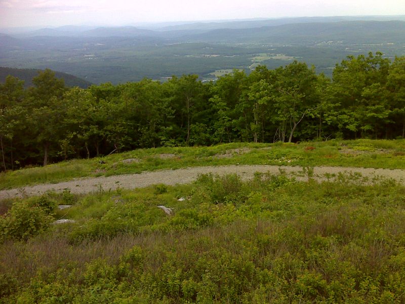
mm 4.0 View east from the now closed parking area on Mt Everettt summit road. There is an old shelter here. Reportedly it has a very leaky roof. This area is reached by a short side trail from the AT. There is no mention of either the shelter or this parking area in the current AT guide. GPS N42.1033 W73.4308
Submitted by pjwetzel @ gmail.com
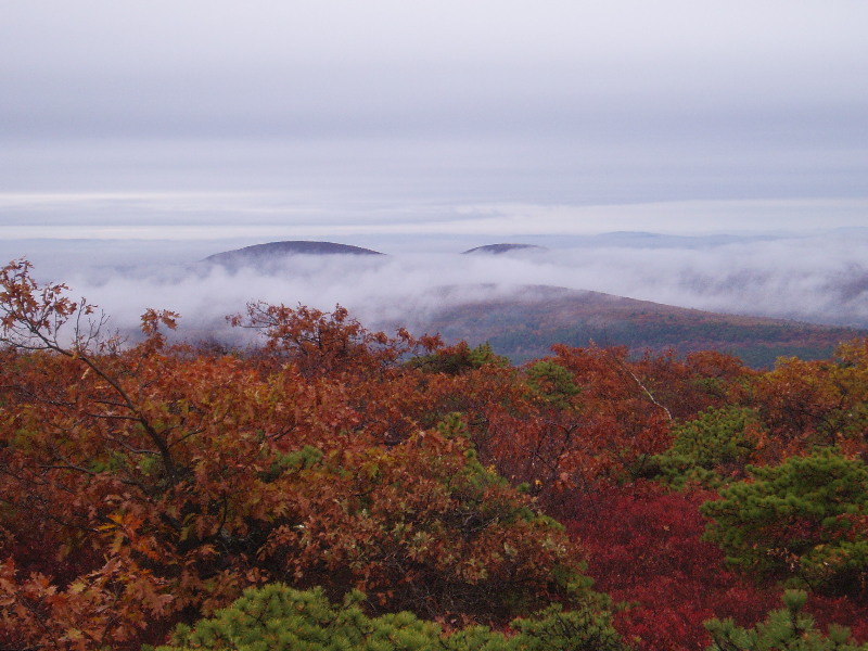
mm 4.6 - Views from the top of Mt Everett on a cool autumn day
Submitted by rging @ charter.net
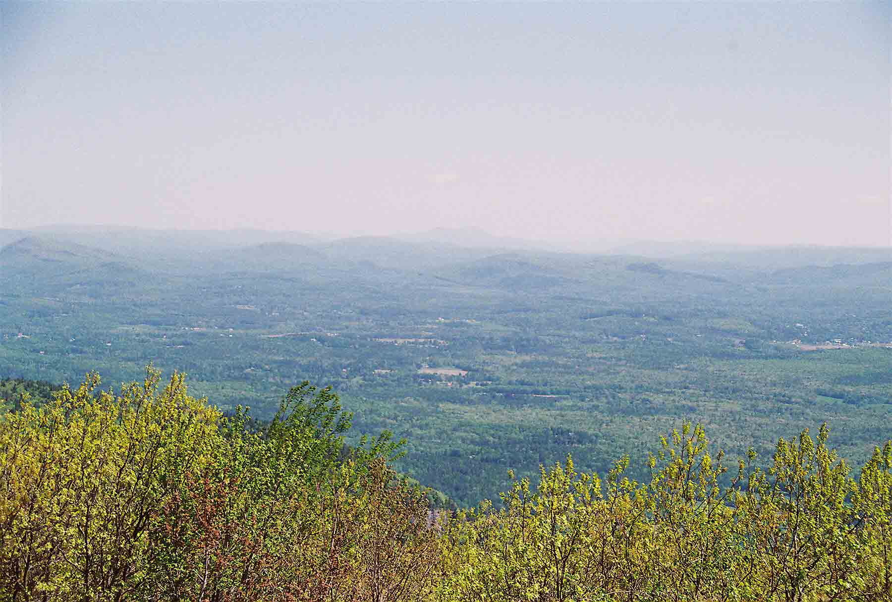
mm 4.6 - View to NE from summit of Mt. Everett. The mountain in the center of the picture in the far distance is Mt. Greylock, highest point in MA. 74 trail miles and about 50 airline miles away.
Submitted by dlcul @ conncoll.edu
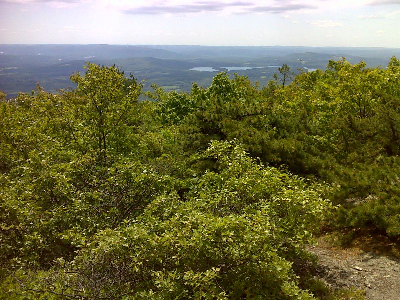
mm 4.6 View east towards Twin Lakes from Mt. Everett summit. GPS N42.1013 W73.4312
Submitted by pjwetzel @ gmail.com