MA Section 2 Pictures - Milemarker 0.0 - 3.1
MA 2 - Notch Road (Wilbur Clearing)
Move your mouse across the pictures for more information.
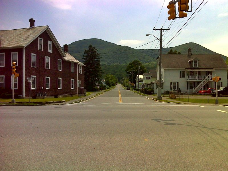
mm 0.0 intersection of MA 8 and Phelps Avenue in North Adams. No parking here. The mountain on the left is Mt. Williams while that on the right is Mt. Prospect. The southbound trail starts out by following Phelps Avenue. It eventually goes over both mountains on the way to the summit of Mt. Greylock. GPS N42.7001 W73.1558
Submitted by pjjwetzel @ gmail.com
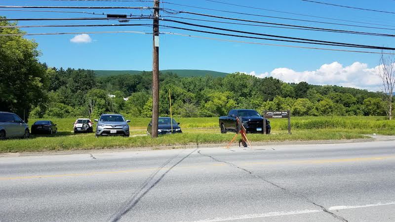
mm 0.0 New (2019) Appalachian Trail parking area on MA 2 in North Adams. This is across the street from the Greylock Community Center.
Submitted by daveackerson @ yahoo.com
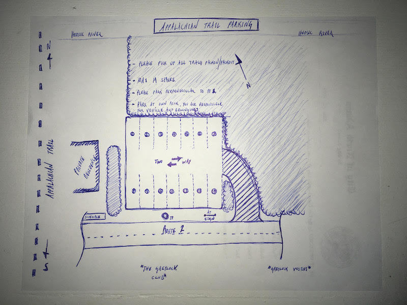
mm 0.0 Sketch plan and regulations for new AT parking on MA 2 in North Adams
Submitted by daveackerson @ yahoo.com
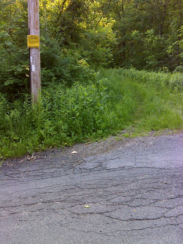
mm 0.5 Upper (south) end of road walk on Phelps Avenue. GPS N42.6933 W73.1571
Submitted by pjwetzel @ gmail.com
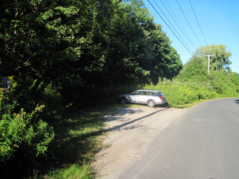
mm 0.9--Parking on Pattison Road
Submitted by dlcul @ conncoll.edu
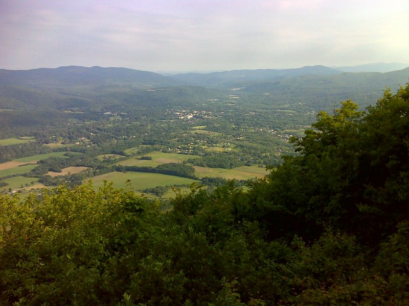
mm 2.8 Williamstown as seen from Mt. Prospect GPS N42.6726 W73.1740
Submitted by pjwetzel @ gmail.com
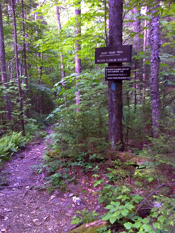
mm 3.0 Intersection with the Money Brook Trail. The Wilbur Clearing Shelter is 0.3 miles down this trail. GPS N42.6698 W73.1718
Submitted by pjwetzel @ gmail.com
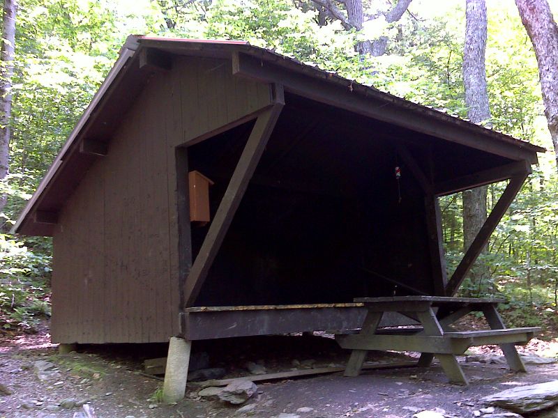
mm 3.0 Wilbur Clearing Shelter, GPS N42.6678 W73.1702
Submitted by pjwetzel @ gmail.com
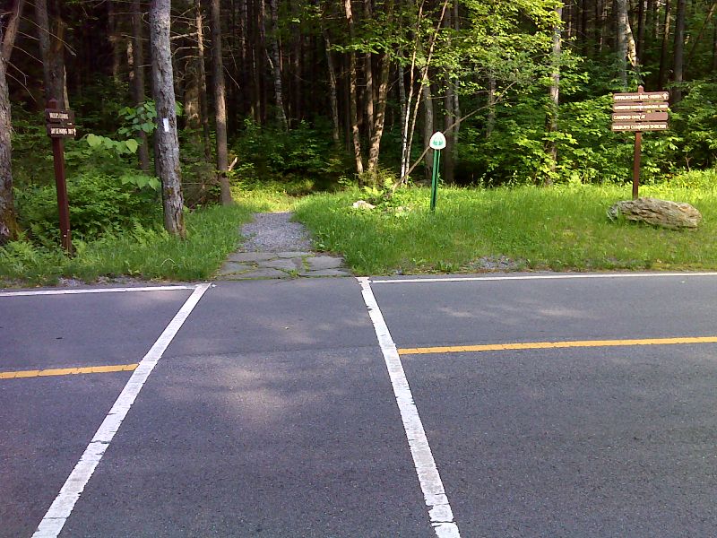
mm 3.1 The trail crosses Notch Road. The Wilbur Clearing day use parking area is 100 yards to the south. GPS N42.6709 W73.1677
Submitted by pjwetzel @ gmail.com
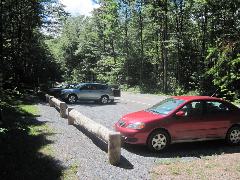
mm 3.1-- Parking on Notch Road at the so called Wilbur Clearing. The AT crosing is about 100 yards north. One may either walk along the road or follow blue-blazed trails to reach either the north or southbound AT.
Submitted by dlcul @ conncoll.edu