MA Section 2 Pictures - Milemarker 3.2 - 5.9
Side Trail to Wilbur Clearing Parking - North Side of Mt. Greylock
Move your mouse across the pictures for more information.
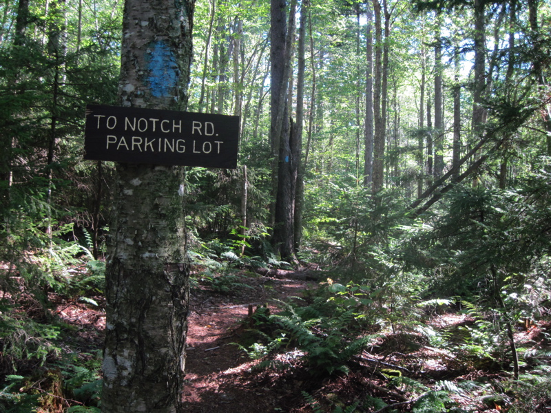
mm 3.2 Junction with the blue-blazed to Notch Road parking at Wilbur Clearing
Submitted by dlcul @ conncoll.edu
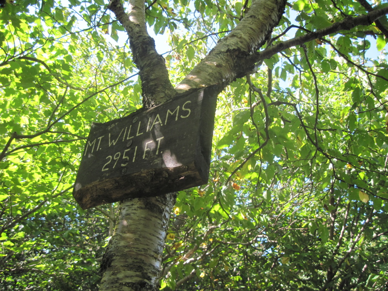
mm 4.0 Sign at summit of Mt. Williams
Submitted by dlcul @ conncoll.edu
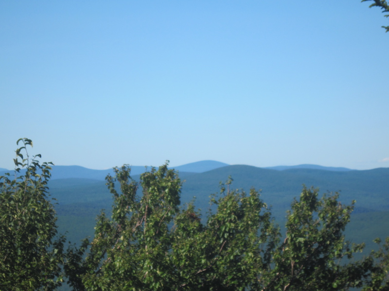
mm 4.0 View north from ledge at summit of Mt. Williams
Submitted by dlcul @ conncoll.edu
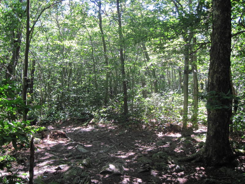
mm 3.4 Junction with the Bernards Farm Trail. To the right this blue-blazed trail meets Notch Road in 0.3 miles.
Submitted by dlcul @ conncoll.edu
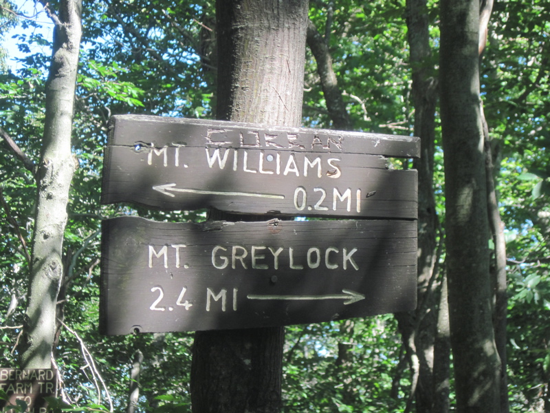
mm 4.2 Sign at junction with the Bernards Farm Trail
Submitted by dlcul @ conncoll.edu
mm 5.8 Robinson Point Trail eastbound from Notch Road. In this direction, the blue-blazed side trail reaches the AT in 0.1 miles.
Submitted by dlcul @ conncoll.edu
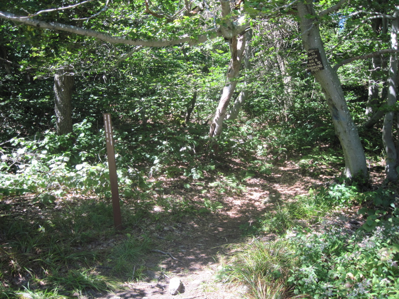
mm 5.8 Intersection with the Robinson Point Trail. This blue-blazed trail leads west to parking on Notch Road in 0.2-0.3 miles.
Submitted by dlcul @ conncoll.edu
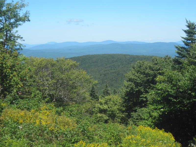
View from an open area on the north side of Mt. Greylock. This is just north of where the trail crosses the road to the summit. Taken at approx. mm 5.9
Submitted by dlcul @ conncoll.edu