MA Section 2 Pictures - Milemarker 6.0 - 6.3
North side Mt. Greylock - Mt. Greylock Summit
Move your mouse across the pictures for more information.
The AT crosses the road to Mt Greylock summit at approx. mm 6.0. No parking here
Submitted by dlcul @ conncoll.edu
The view as the AT descends north from the parking lot on Mt.
Greylock towards the crossing of the road to the summit. Taken at approx.
mm 6.1.
Submitted by dlcul @ conncoll.edu
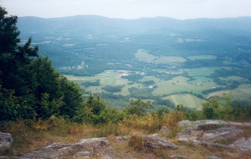
View to the northwest from near the point where the nortbound AT
leaves the parking lot at the summit of Mt. Greylock. Taken at approx. mm
6.1
Submitted by dlcul @ conncoll.edu
View to the north from near the point where the northbound
trail leaves the parking lot at the summit of Mt. Greylock. The trail can
be seen on the right side of the picture. It follows the ridge in the
foreground as far as the near peak in the center of the photo (Mt.
Williams).
Submitted by dlcul @ conncoll.edu
mm 6.3 Part of the parking lot at the summit of Mt. Greylock
Submitted by dlcul @ conncoll.edu

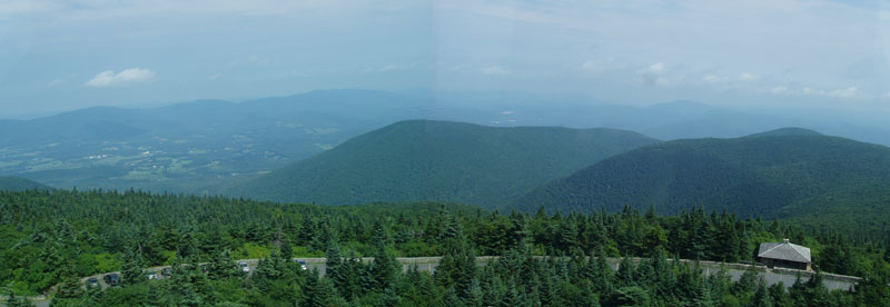
mm 6.3 - View looking west near the Summit of Mt Greylock
Submitted by rging @ charter.net

mm 6.3 - The main parking lot at the summit of Mount Greylock, near Bascom Lodge
Submitted by froto

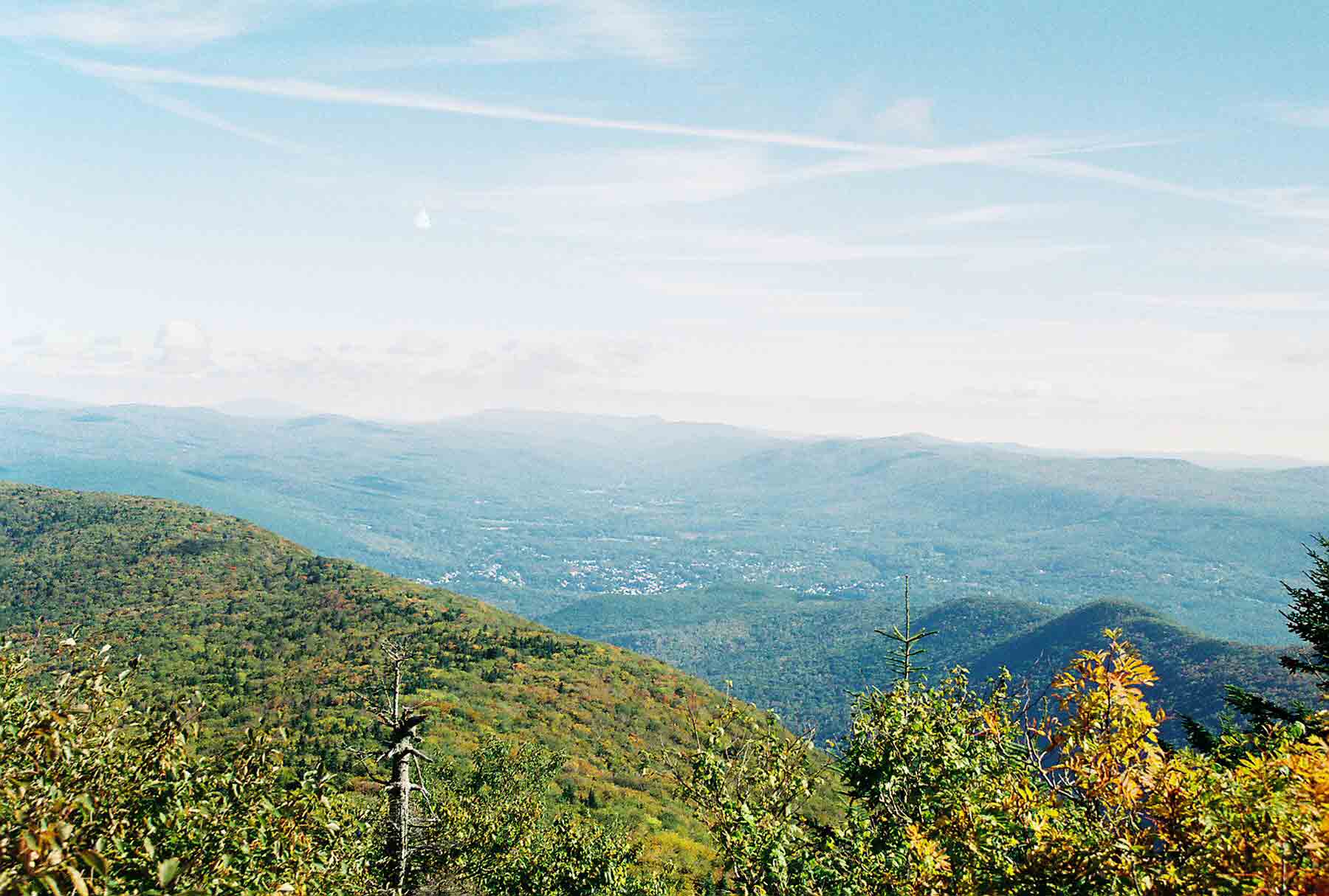
mm 6.3 - View to the north from the summit of Mt. Greylock. The built up area visible is North Adams/Williamstown. Glastenbury Mountain can be seen in the distance in the center of the picture. Stratton Mountain is also visible (barely) to the left of center. The AT crosses both of these peaks.
Submitted by dlcul @ conncoll.edu