MA Section 2 Pictures - Milemarker 6.3 - 6.8
Mt. Greylock Summit - Junction Notch, Rockwell and Summit Roads
Move your mouse across the pictures for more information.
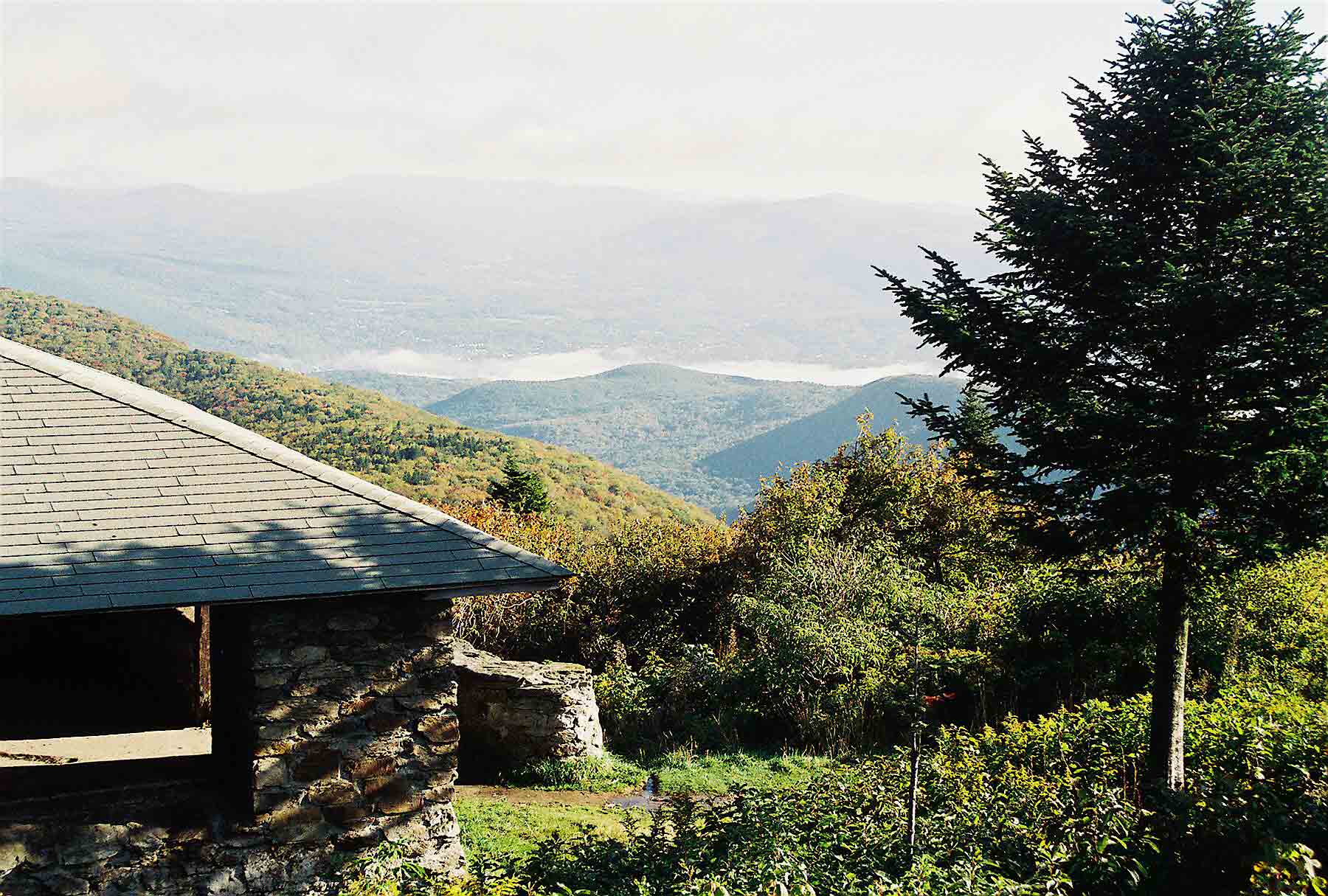
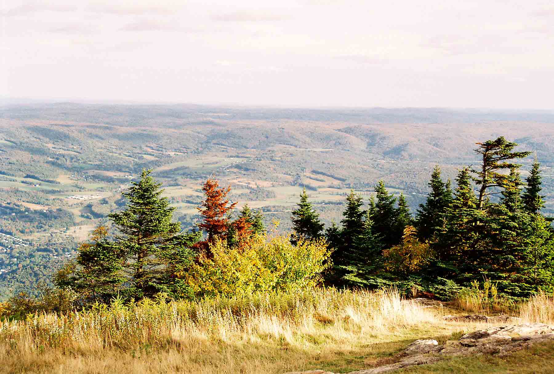
mm 6.3 - An early fall picture from near the summit of Mt. Greylock. Note the valley fog below.
Submitted by dlcul @ conncoll.edu
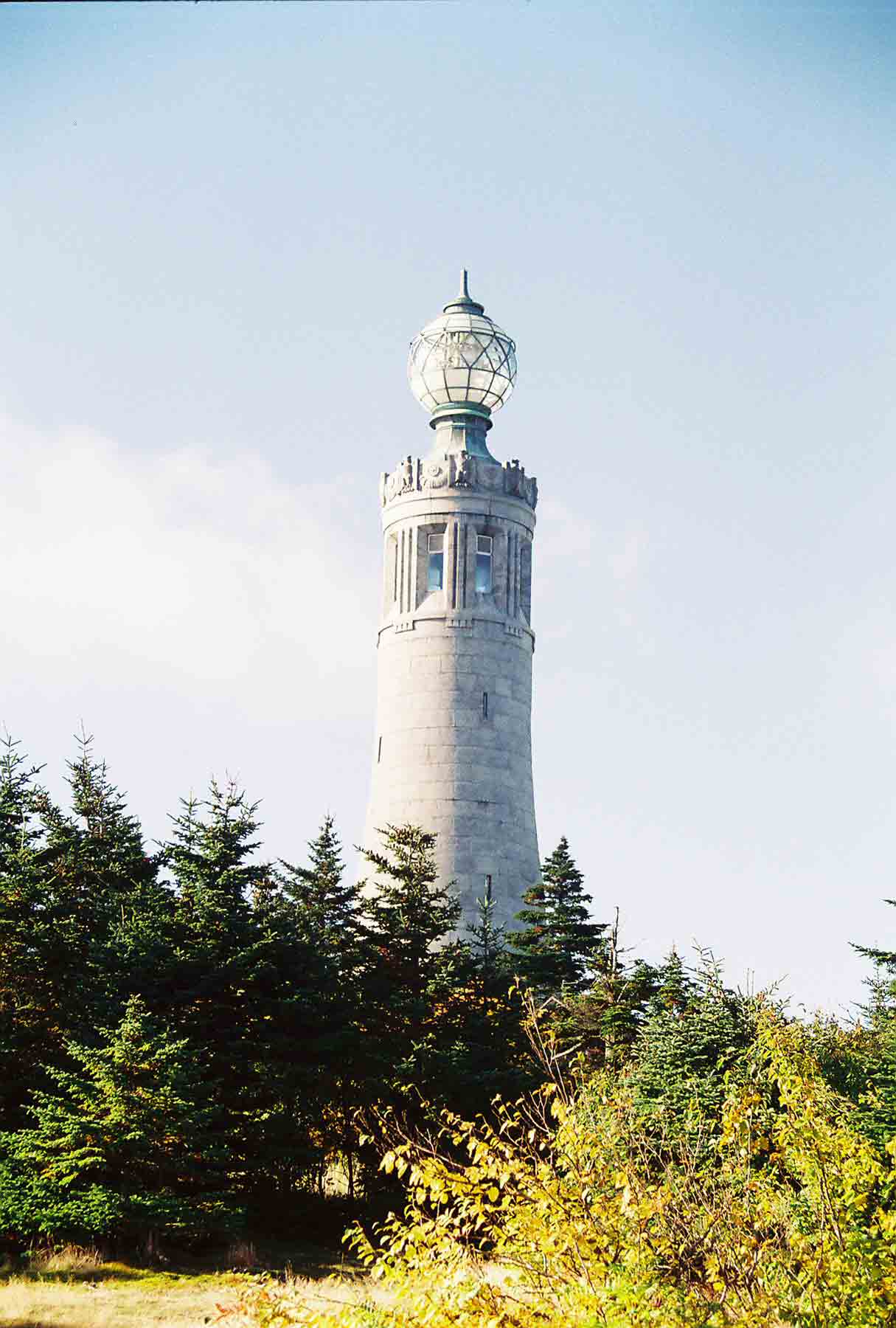
mm 6.3 - War Memorial Tower at the summit of Mt. Greylock, highest point in MA
Submitted by dlcul @ conncoll.edu
mm 6.3 Another view War Memorial Tower at the summit of Mt. Greylock
Submitted by dlcul @ conncoll.edu
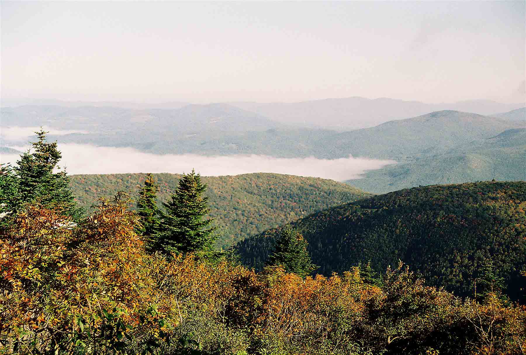
mm 6.3 - View to northeast from summit of Mt. Greylock on an early fall day
Submitted by dlcul @ conncoll.edu
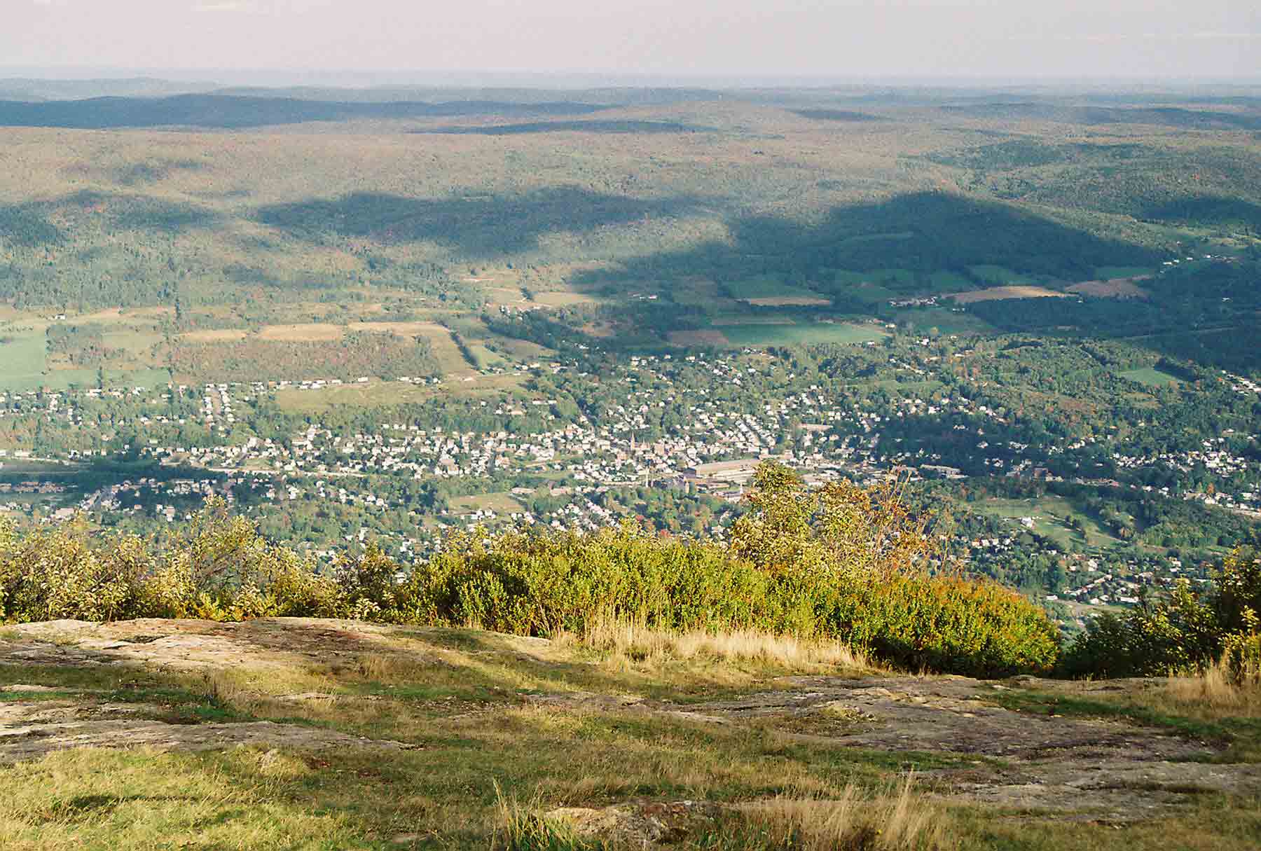
mm 6.3 - View east to the town of Adams, MA. Herman Melville used to live in North Adams or Adams. To him, Mt. Greylock in winter resembled a huge white whale and thus the idea for 'Moby Dick' was born.
Submitted by dlcul @ conncoll.edu
Submitted by dlcul @ conncoll.edu
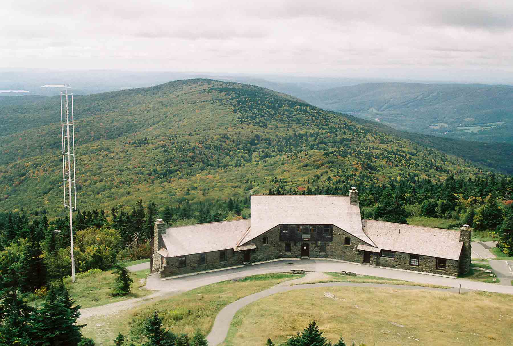
mm 6.3 - View to the north from the War Memorial Tower. Bascom Lodge is in the foreground. The northbound AT follows the ridge towards Mt. Williams, the peak at the north end before beginning its descent to North Adams.
Submitted by dlcul @ conncoll.edu
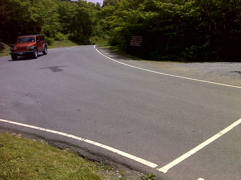
mm 6.8 Junction of Notch Rd. (to left), Rockwell Rd. (to right) and Summit Road (straight ahead). The northbound trail crosses Rockwell Rd., then Summit Road. GPS N42.6339 W73.1710
Submitted by pjwetzel @ gmail.com