MA Section 2 Pictures - Milemarker 6.8 - 9.6
Old Water Supply Pond - Mark Noepel Shelter
Move your mouse across the pictures for more information.
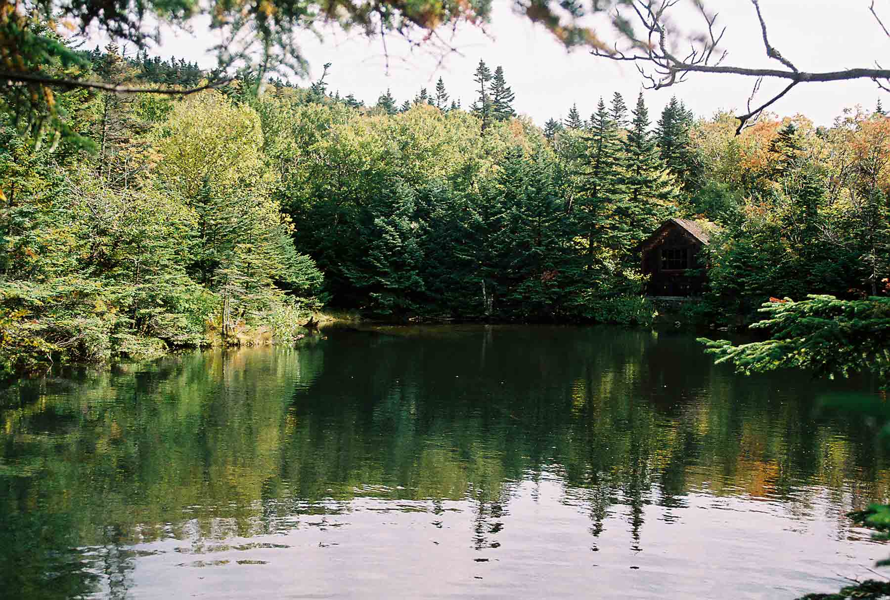
mm 6.8 - Old water supply pond near the intersection of Notch/Rockwell Road and Summit Road. This is at the base of the Greylock summit cone.
Submitted by dlcul @ conncoll.edu
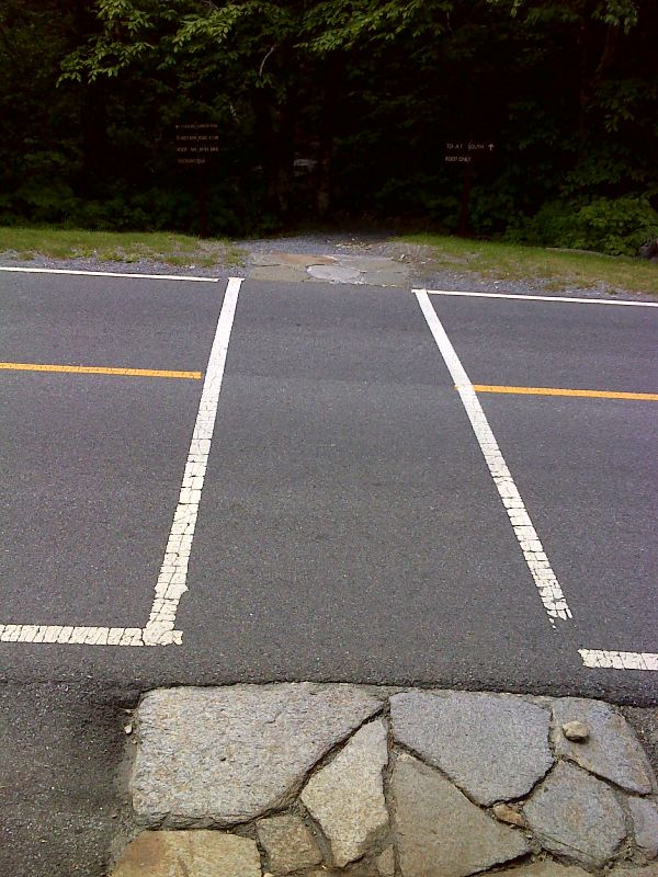
mm 7.0 More southerly of two crossings of Rockwell Road. GPS N42.6327 W73.1737
Submitted by pjwetzel @ gmail.com
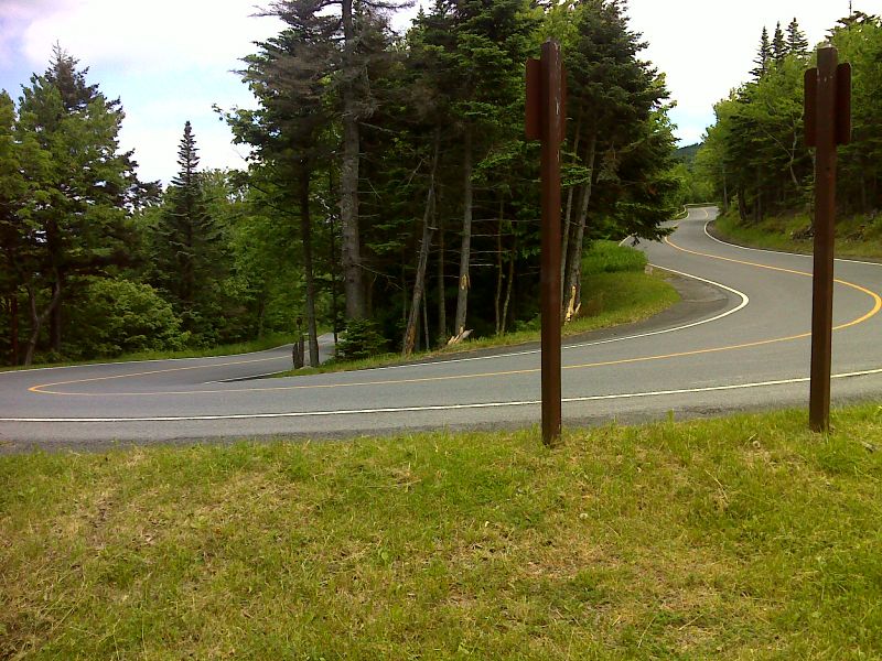
mm 7.3 The AT makes a close approach to Rockwell Road at this switchback in the road. GPS N42.6310 W73.1783
Submitted by pjwetzel @ gmail.com
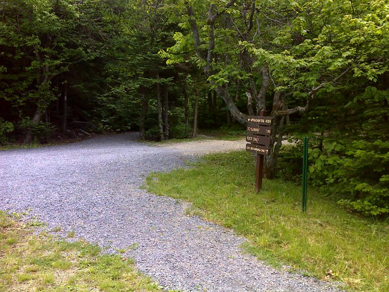
mm 7.3 Driveway to day use parking area at the switchback in Rockwell Road. GPS N42.6310 W73.1783
Submitted by pjwetzel @ gmail.com
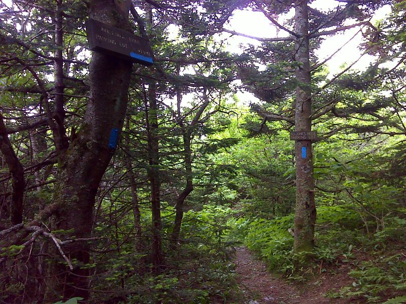
mm 9.0 Junction with the Jones Nose Trail. This leads steeply downhill to the Jones Nose parking area in 1.0 miles. GPS N42.6132 W73.1918
Submitted by pjwetzel @ gmail.com
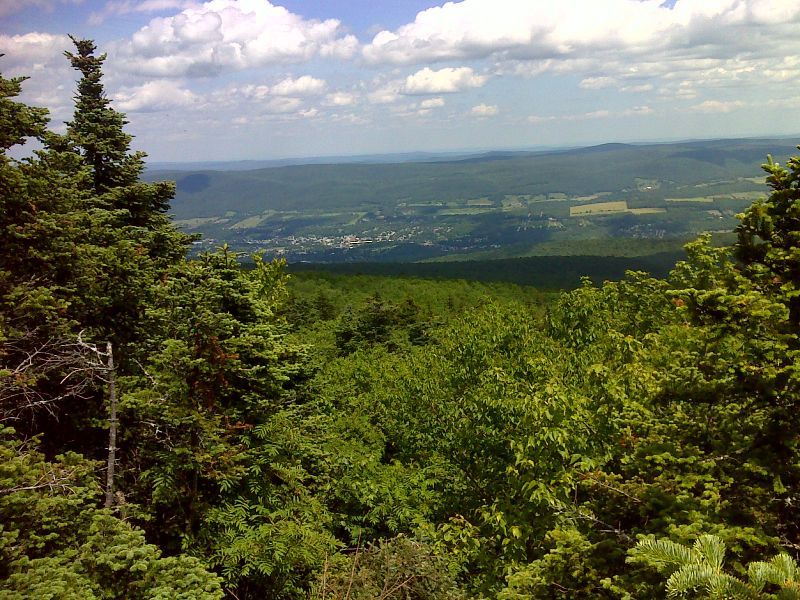
View of Adams, MA from a limited viewpoint south of Jones Nose. GPS N42.6124 W73.1911
Submitted by pjwetzel @ gmail.com
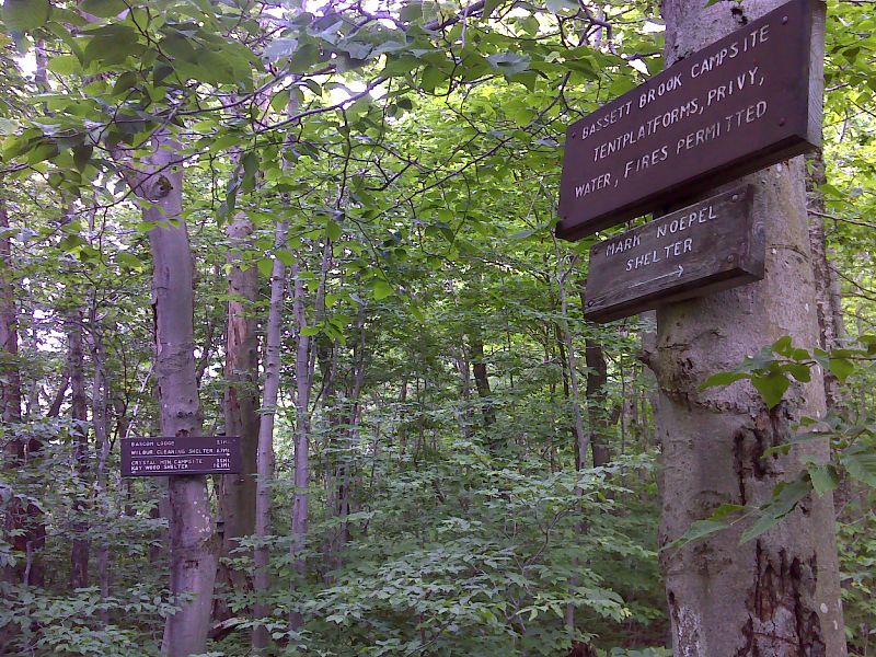
mm 9.6 Side trail to Mark Noepel Shelter. GPS N42.6073 W73.1852
Submitted by pjwetzel @ gmail.com
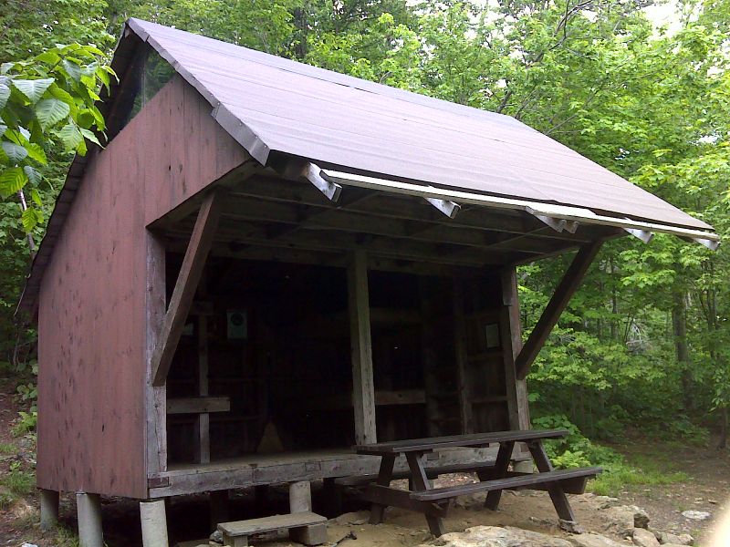
mm 9.6 Mark Noepel Shelter. GPS N42.6085 W73.1841
Submitted by pjwetzel @ gmail.com