MA Section 2 Pictures - Milemarker 9.6 - 14.0
Mark Noepel Shelter - MA 8 in Cheshire
Move your mouse across the pictures for more information.
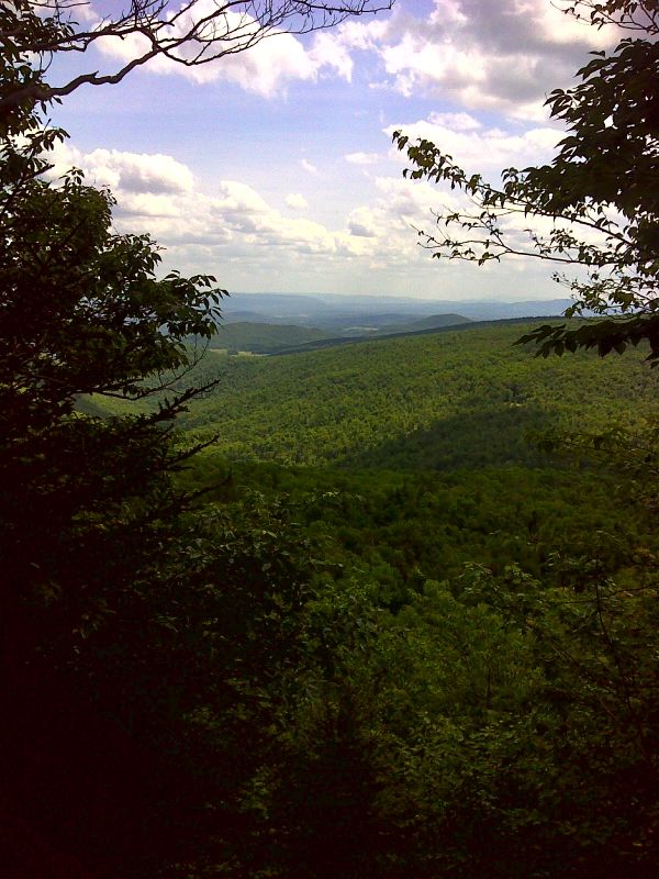
Limited view from lookout south of Mark Noepel Shelter. GPS 42.6053 W73.1834
Submitted by pjwetzel @ gmail.com
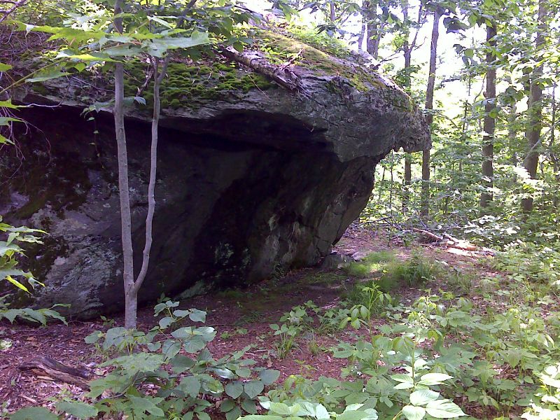
Excellent emergency natural shelter. GPS 42.6029 W73.1800
Submitted by pjwetzel @ gmail.com
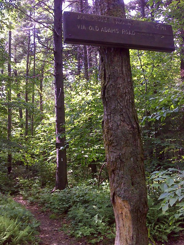
mm 10.5 Junction with the Old Adams Road side trail. This leads west 2 miles to the Jones Nose parking area. GPS 42.5984 W73.1776
Submitted by pjwetzel @ gmail.com
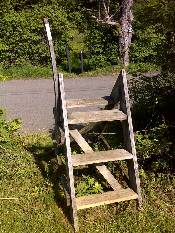
mm 13.2 Crossing of Outlook Avenue near Cheshire. GPS N42.5758 W73.1642
Submitted by pjwetzel @ gmail.com
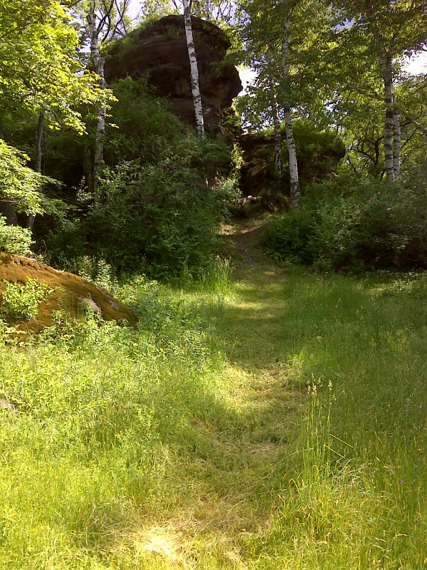
mm 13.2 Side Trail to Reynolds Rock. GPS N42.5756 W73.1640
Submitted by pjwetzel @ gmail.com
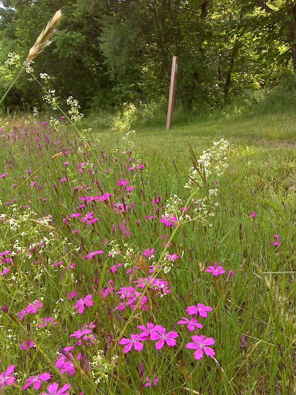
Trailside flower display north of MA 8. GPS N42.5692 W73.1592
Submitted by pjwetzel @ gmail.com
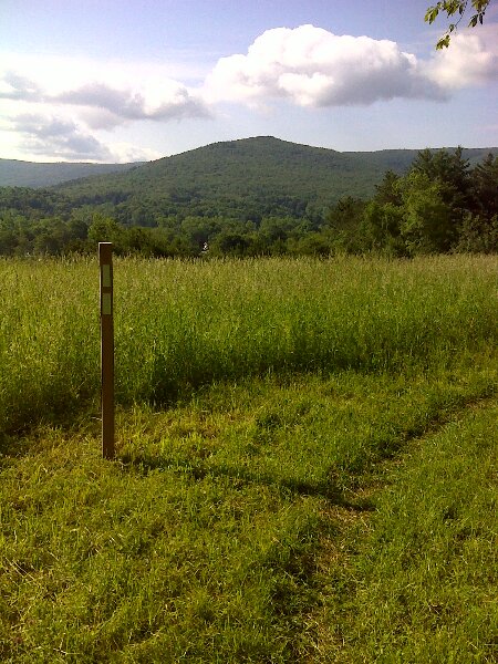
Cheshire Cobble as seen from field north of MA 8. GPS N42.5697 W73.1586
Submitted by pjwetzel @ gmail.com
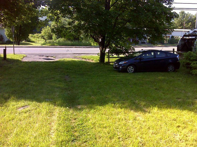
mm 14.0 MA 8 trail crossing with seldom used parking area. GPS N42.5680 W73.1594
Submitted by pjwetzel @ gmail.com