MA Section 4 Pictures - Milemarker 2.0 - 3.1
North side of Day Mt. - Power Line Cleaing
Move your mouse across the pictures for more information.
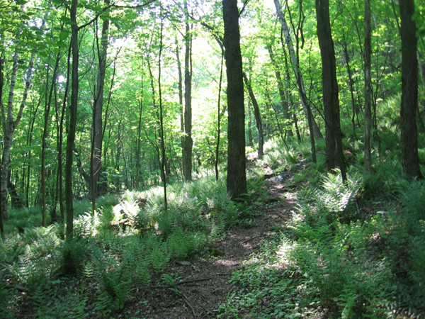
The trail just south of downtown Dalton, MA
Submitted by jbhanley @ earthlink.net
The trail reaches its high point on Day Mountain.
Submitted by dlcul @ conncoll.edu
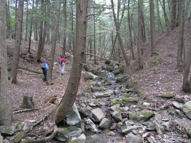
North of Grange Hall Road the trail follows this brook and begins the ascent of Day Mountain heading northbound towards Dalton.
Submitted by seqatt.net @ sbcglobal.net
mm 2.5 The trail crosses a brook just north of Grange Hill Road.
Submitted by dlcul @ conncoll.edu
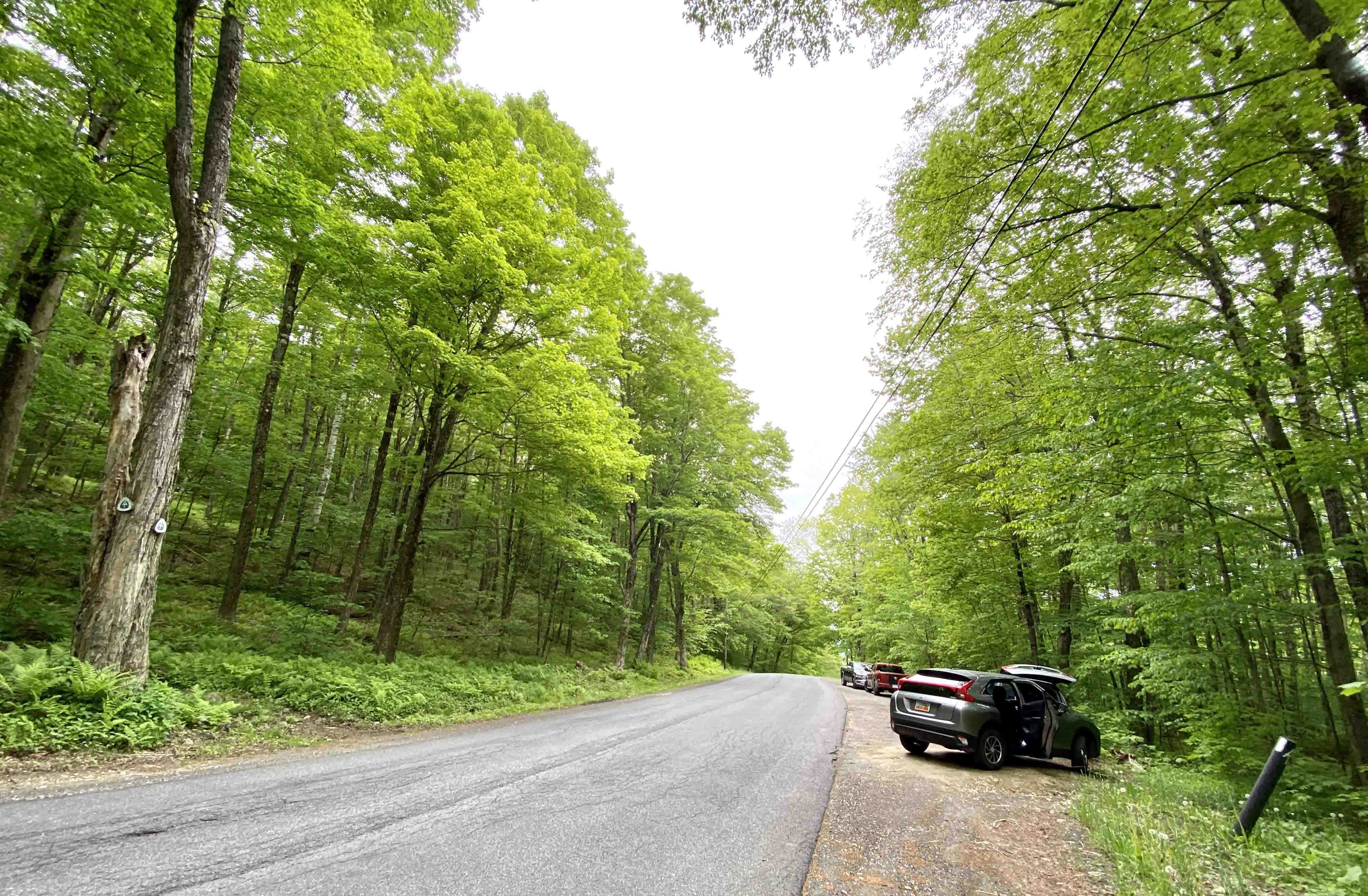
mm 2.7 Pull off parking lot as viewed looking north west on Grange Hall road
Submitted by WardandDA @ gmail.com
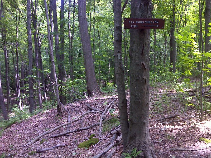
mm 3.0 Side trail to Kay Wood Shelter. GPS N42.4534 W73.1638
Submitted by pjwetzel @ gmail.com
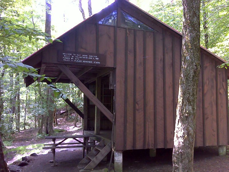
mm 3.0 Kay Wood Shelter. GPS N42.4522 W73.1615
Submitted by pjwetzel @ gmail.com
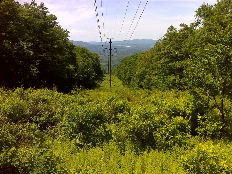
mm 3.1 View west towards Pittsfield from power line clearing. GPS N42.4499 W73.1661
Submitted by pjwetzel @ gmail.com