MA Section 4 Pictures - Milemarker 5.5 - 9.6
North side of Warner Hill - Pittsfield Road
Move your mouse across the pictures for more information.
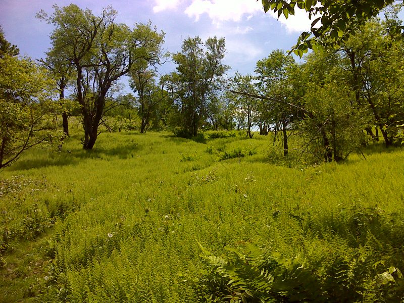
Fern walk on ascent of Warner Hill. GPS N42.4183 W73.1530
Submitted by pjwetzel @ gmail.com
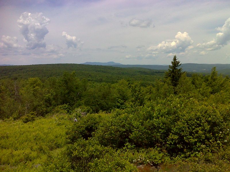
mm 5.7 View of Mt. Greylock from summit of Warner Hill. GPS N42.4176 W73.1521
Submitted by pjwetzel @ gmail.com
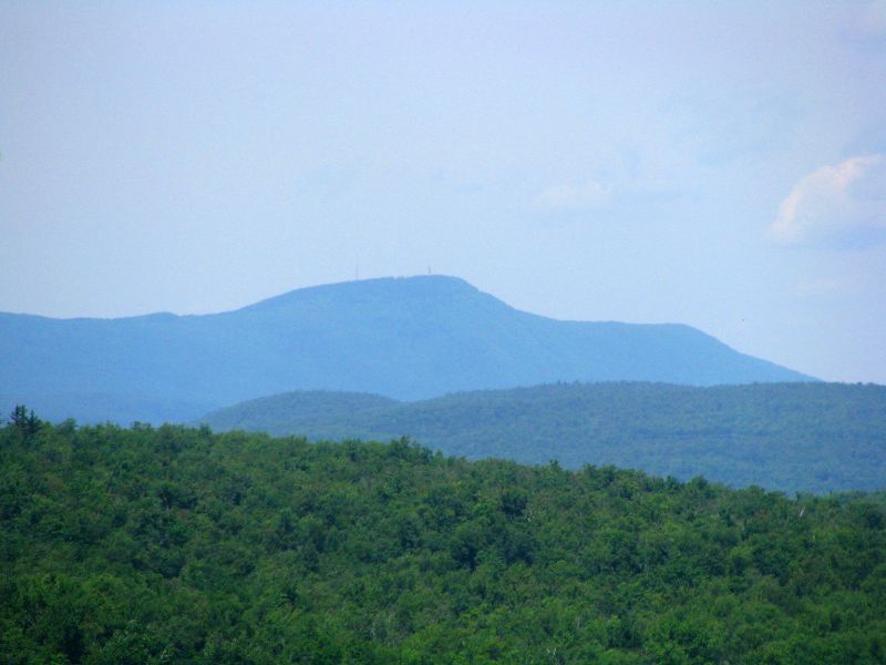
mm 5.7 Telephoto shot of Mt. Greylock from summit of Warner Hill. GPS N42.4176 W73.1521
Submitted by pjwetzel @ gmail.com
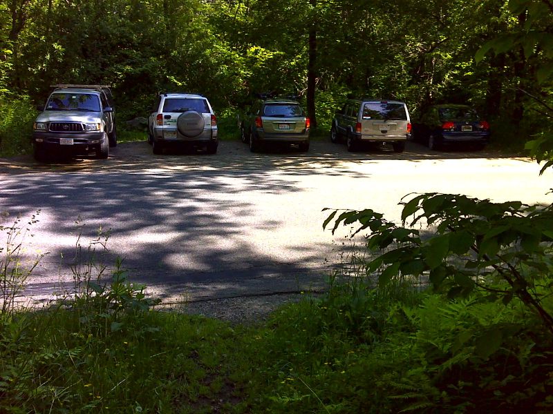
mm 6.4 Popular and small Blotz Road parking area. GPS N42.4090 W73.1500
Submitted by pjwetzel @ gmail.com
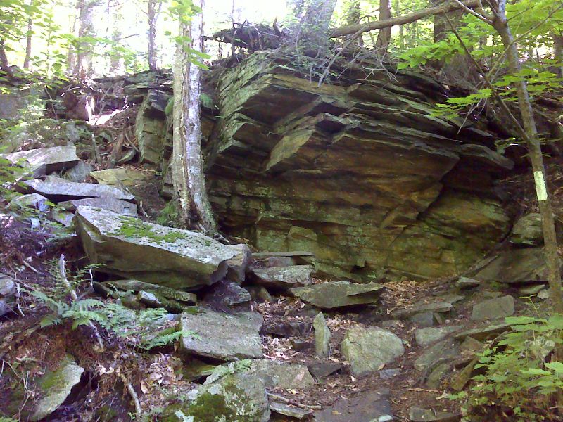
Rock scramble in an otherwise flat section of trail GPS N42.4016 W73.1499
Submitted by pjwetzel @ gmail.com

Beaver dam that caused a recent 100 yard reroute of the AT. Taken in June 2012. GPS N42.3988 W73.1507
Submitted by pjwetzel @ gmail.com
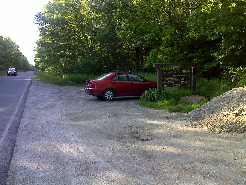
mm 9.6 Parking on Pittsfield Road. GPS N42.3771 W72.1507 GPS N42.3988 W73.1507
Submitted by pjwetzel @ gmail.com