MA Section 6 Pictures - Milemarker 1.9 - 5.2
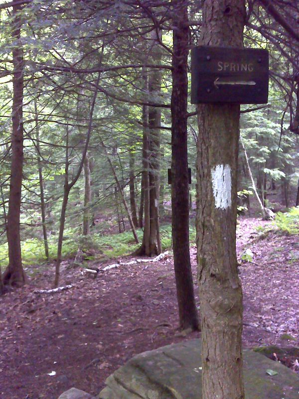
Upper Goose Pond - Trail to Spring
Move your mouse across the pictures for more information.
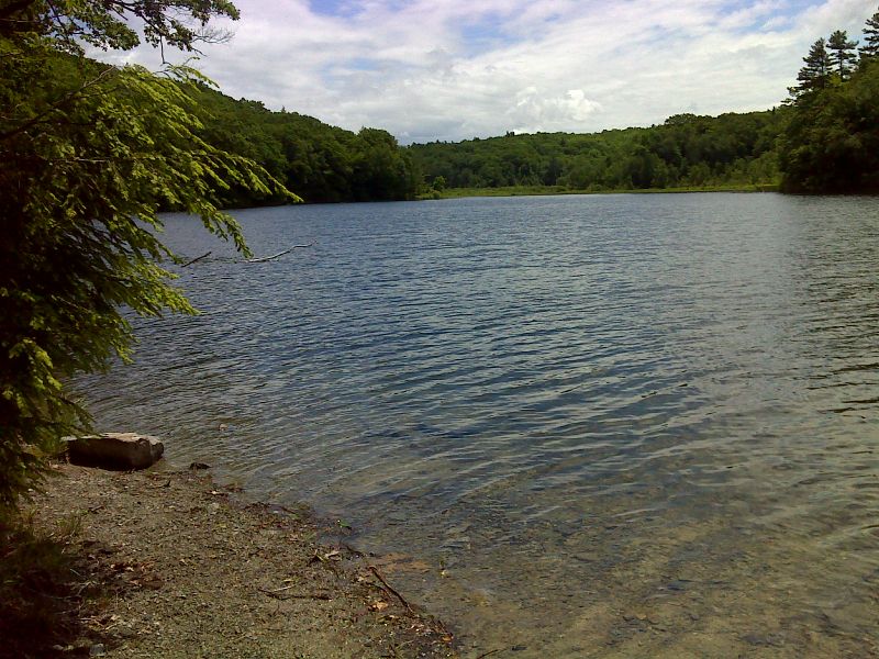
MM 1.9 Looking east across Upper Goose pond from site of the Mohhekennuck Fishing and Hunting Club
Submitted by dlcul @ conncoll.edu

mm 1.9 Looking east across Upper Goose pond from site of the Mohhekennuck Fishing and Hunting Club. This is the same view as the one in the previous picture but taken in late spring (June 2012).
Submitted by pjwetzel @ gmail.com
Looking west across Upper Goose Pond. Taken at approx. MM 2.2
Submitted by dlcul @ conncoll.edu
Summit of ridge between Goose Pond Road and Upper Goose Pond
Submitted by dlcul @ conncoll.edu
MM 4.1 Bridge over outlet brook to Cooper Brook beaver pond
Submitted by dlcul @ conncoll.edu
MM 4.0 Cooper Brook beaver pond
Submitted by dlcul @ conncoll.edu

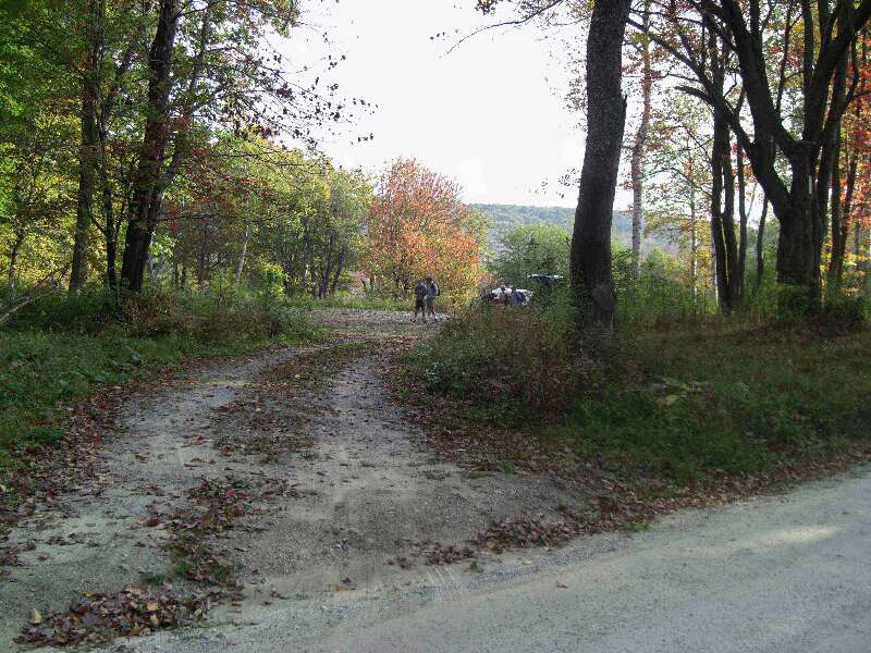
mm 4.3 - Parking area on Goose Pond Road
Submitted by seqatt.net @ sbcglobal.net

mm 5.2 Side trail to spring south of Goose Pond Road. GPS N42.2670 W 73.1827
Submitted by pjwetzel @ gmail.com